Reynolds Wood
Wood, Forest in Surrey Tandridge
England
Reynolds Wood
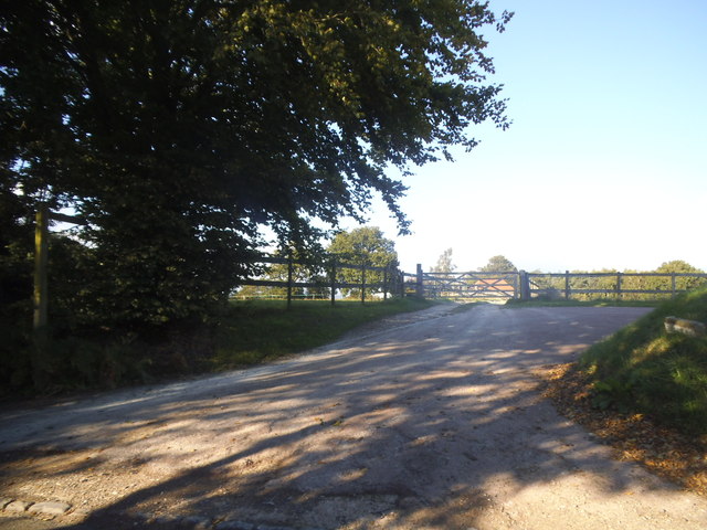
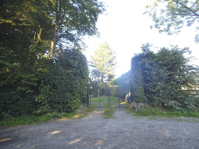
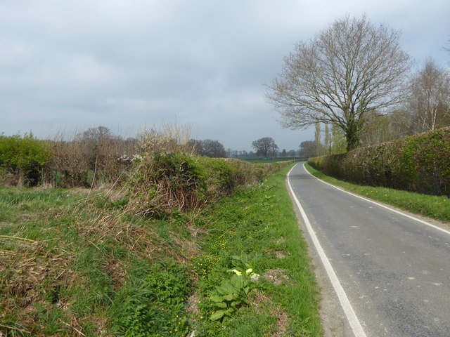
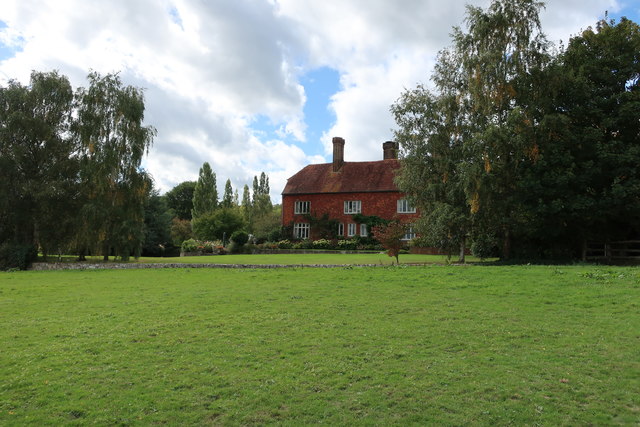
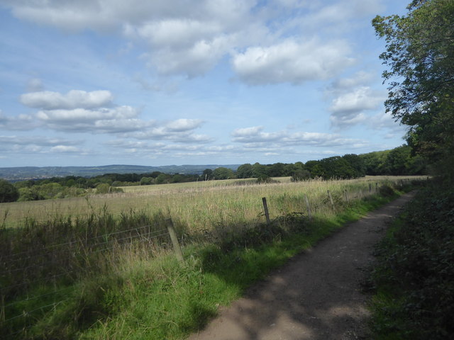
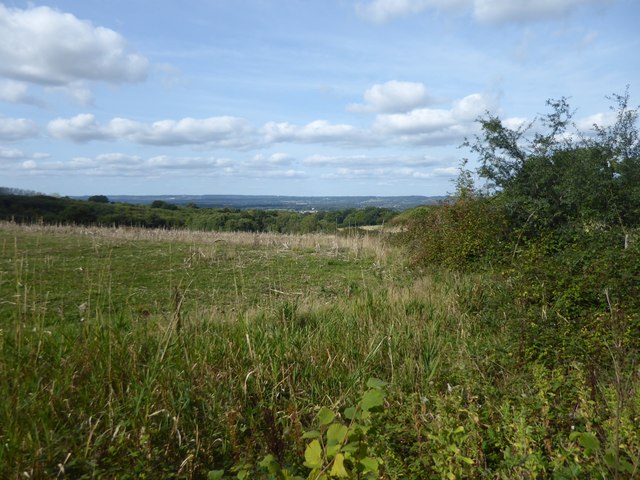
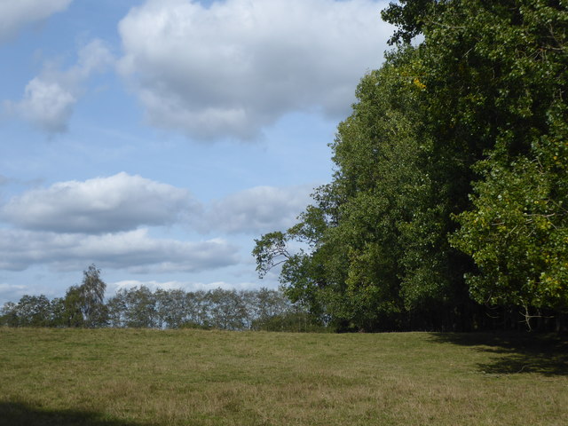
Reynolds Wood is a charming woodland located in Surrey, England. Spread across a vast area, it is known for its picturesque beauty and tranquil atmosphere. The wood is part of the Surrey Hills Area of Outstanding Natural Beauty, which adds to its appeal as a popular destination for nature enthusiasts and hikers.
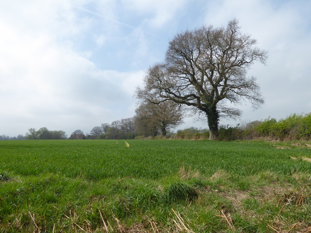
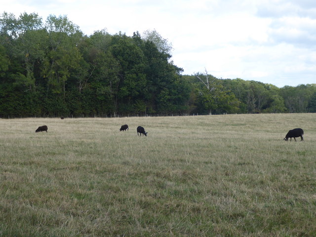
The wood is characterized by its dense forest cover, consisting mainly of deciduous trees such as oak, beech, and maple. This variety of trees creates a vibrant and colorful landscape, especially during the autumn season when the leaves turn into shades of gold, red, and orange. The wood is also home to a diverse range of wildlife, including deer, squirrels, and various species of birds.
Visitors can explore Reynolds Wood through its well-maintained network of walking trails. These trails offer different levels of difficulty, catering to both casual walkers and experienced hikers. Along the way, one can enjoy the serenity of the forest, breathe in the fresh air, and listen to the soothing sounds of nature.
Reynolds Wood is also a popular spot for outdoor activities such as birdwatching, photography, and picnicking. The wood provides ample opportunities for capturing stunning photographs of the natural scenery and observing the local wildlife in their natural habitat.
Overall, Reynolds Wood in Surrey is a haven for nature lovers, offering a peaceful escape from the hustle and bustle of city life. With its picturesque beauty and diverse wildlife, it provides a perfect setting for outdoor enthusiasts to reconnect with nature.
If you have any feedback on the listing, please let us know in the comments section below.
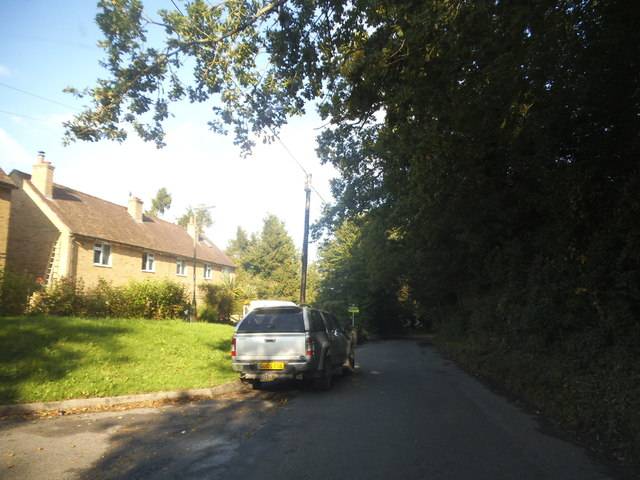
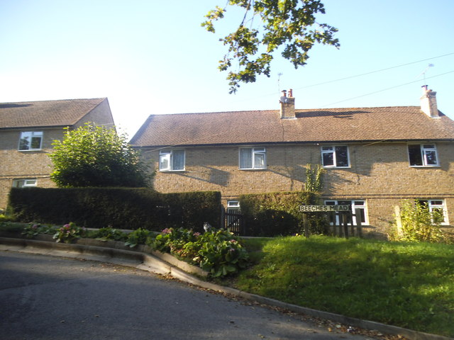
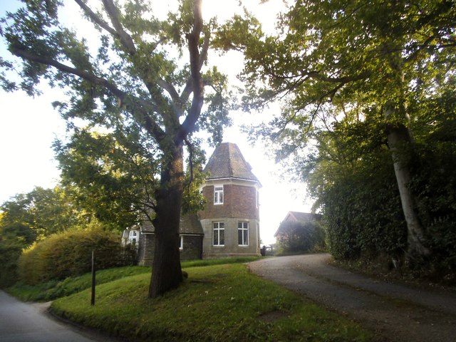
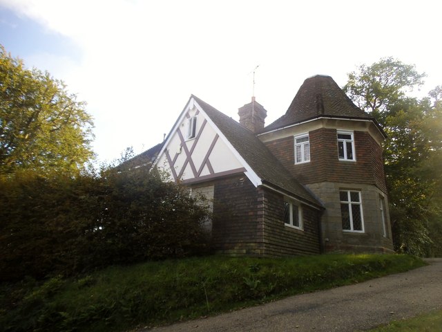
Reynolds Wood Images
Images are sourced within 2km of 51.162796/0.043050204 or Grid Reference TQ4242. Thanks to Geograph Open Source API. All images are credited.


Reynolds Wood is located at Grid Ref: TQ4242 (Lat: 51.162796, Lng: 0.043050204)
Administrative County: Surrey
District: Tandridge
Police Authority: Surrey
What 3 Words
///city.party.late. Near Dormansland, Surrey
Nearby Locations
Related Wikis

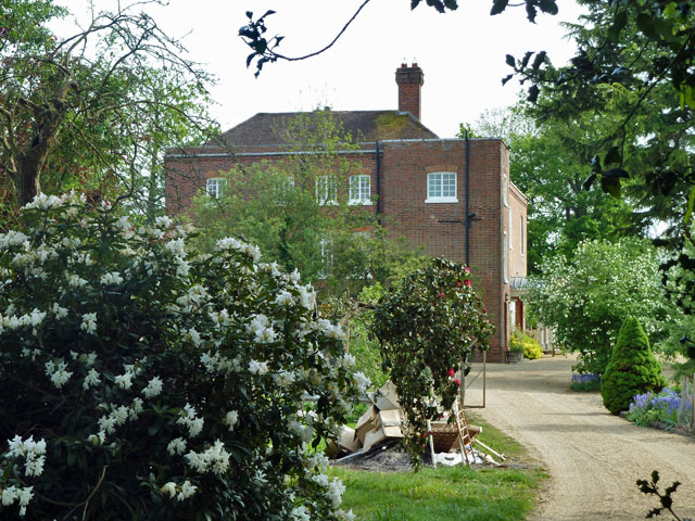
Greathed Manor
Greathed Manor, Dormansland, Surrey, is a Victorian country house. Designed by the architect Robert Kerr in 1862–8, it is a Grade II listed building....
Starborough Castle
Starborough Castle, known historically as Sterborough Castle, is a Neo-Gothic garden house of dressed sandstone near the eastern boundary of Surrey, built...

Marsh Green, Kent
Marsh Green is a small hamlet in Eden Vale, part of the parish of Edenbridge, England. The hamlet was founded in 1554 under its current name. Marsh Green...

Sundridge with Ide Hill
Sundridge and Ide Hill is a civil parish in the Sevenoaks District of Kent, England. It is located in the Darenth valley and lies between Sevenoaks and...

Dormansland, Surrey
Dormansland is a large village and civil parish with a low population approximately one mile south of Lingfield in Surrey, England. It was founded in the...

Cowden Pound Pastures
Cowden Pound Pastures is a 5.9-hectare (15-acre) biological Site of Special Scientific Interest north of Cowden in Kent. It is managed by the Kent Wildlife...

Lingfield College
Lingfield College is a private day school situated in Lingfield in the English county of Surrey, for pupils aged six months to eighteen years old. It was...

London to Lewes Way
The London to Lewes Way is a 71 kilometres (44 mi) long Roman road between Watling Street at Peckham and Lewes in Sussex. The road passes through Beckenham...
Nearby Amenities
Located within 500m of 51.162796,0.043050204Have you been to Reynolds Wood?
Leave your review of Reynolds Wood below (or comments, questions and feedback).