Nann's Common Clump
Wood, Forest in Surrey Tandridge
England
Nann's Common Clump
Nann's Common Clump is a beautiful woodland area located in Surrey, England. Covering an area of approximately 100 acres, it is a part of the larger Nann's Common, which is a Site of Special Scientific Interest (SSSI) due to its unique ecological features. The woodland is situated near the village of Wood, within the borough of Forest.
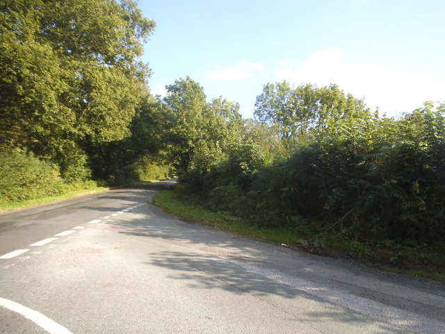
Nann's Common Clump is characterized by a diverse range of tree species, including oak, beech, birch, and pine. The dense canopy provides shelter and food for a variety of wildlife, making it a haven for birdwatchers and nature enthusiasts. The woodland floor is covered with a lush carpet of ferns, mosses, and wildflowers, adding to the area's natural beauty.
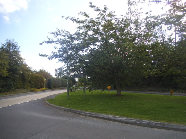
The woodland is crisscrossed by a network of footpaths and trails, making it easily accessible for visitors who wish to explore its wonders. The paths lead through ancient trees, alongside babbling brooks, and up gentle hills, providing breathtaking views of the surrounding countryside.
Nann's Common Clump is also a popular spot for recreational activities, such as hiking, cycling, and picnicking. Families often gather here on weekends to enjoy the serene atmosphere and engage in outdoor games. The woodland is well-maintained, with designated picnic areas and benches strategically placed throughout.
Overall, Nann's Common Clump is a picturesque woodland in Surrey, offering a tranquil escape from the hustle and bustle of everyday life. Its diverse flora and fauna, combined with its accessibility and recreational opportunities, make it a favorite destination for nature lovers and outdoor enthusiasts alike.
If you have any feedback on the listing, please let us know in the comments section below.
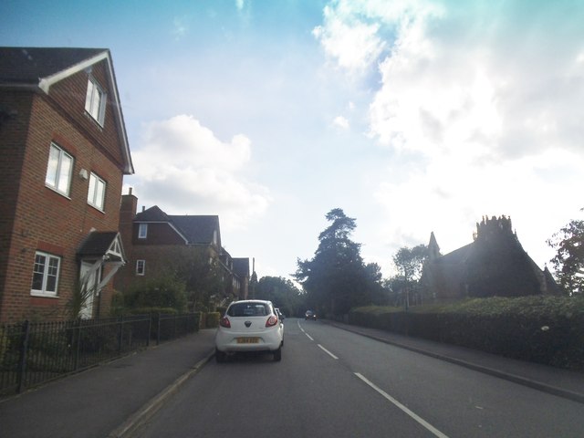
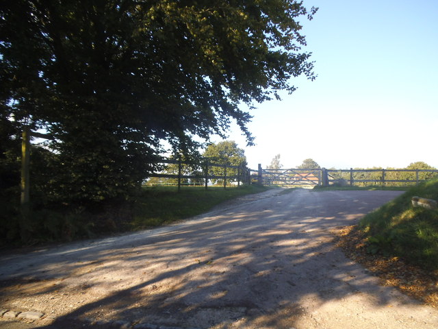
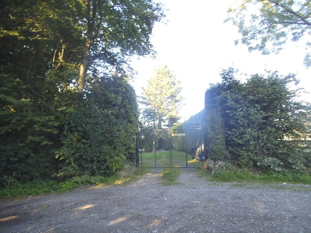
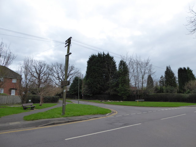
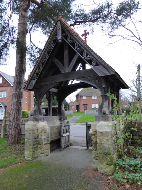
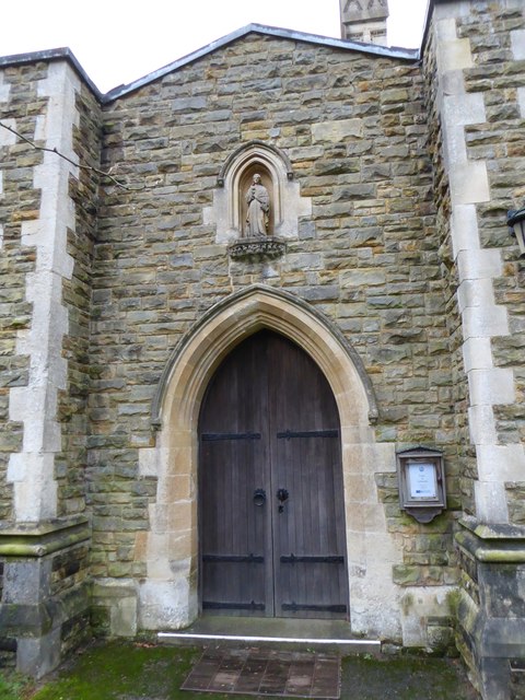
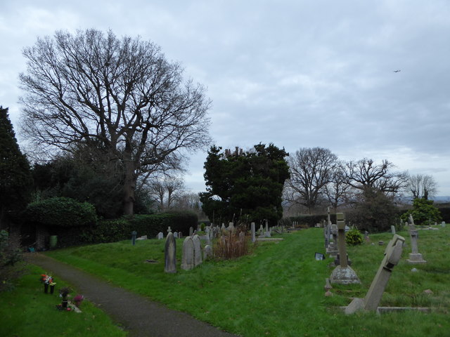
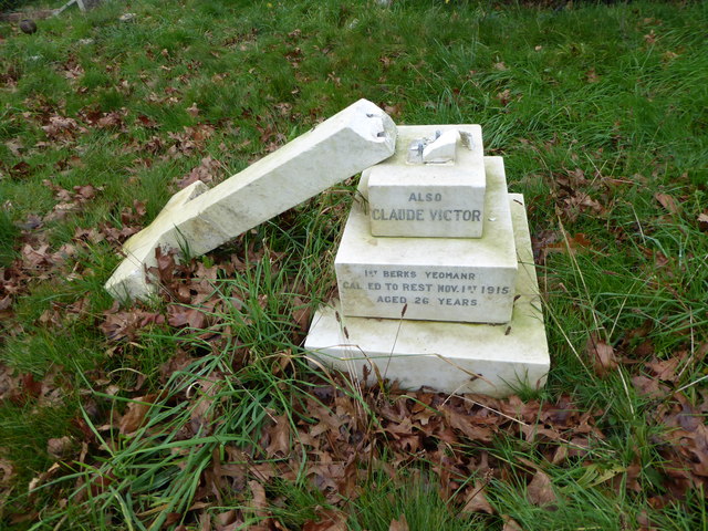
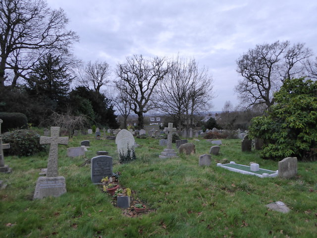
Nann's Common Clump Images
Images are sourced within 2km of 51.164937/0.030114357 or Grid Reference TQ4242. Thanks to Geograph Open Source API. All images are credited.


Nann's Common Clump is located at Grid Ref: TQ4242 (Lat: 51.164937, Lng: 0.030114357)
Administrative County: Surrey
District: Tandridge
Police Authority: Surrey
What 3 Words
///taken.over.freed. Near Dormansland, Surrey
Nearby Locations
Related Wikis

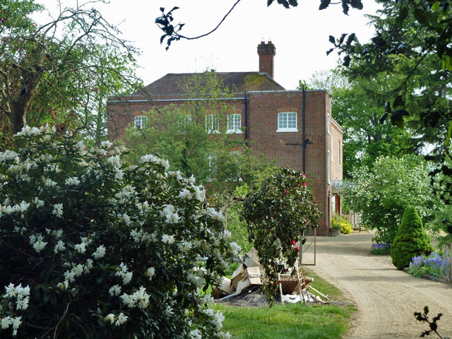
Greathed Manor
Greathed Manor, Dormansland, Surrey, is a Victorian country house. Designed by the architect Robert Kerr in 1862–8, it is a Grade II listed building....

Dormansland, Surrey
Dormansland is a large village and civil parish with a low population approximately one mile south of Lingfield in Surrey, England. It was founded in the...
Starborough Castle
Starborough Castle, known historically as Sterborough Castle, is a Neo-Gothic garden house of dressed sandstone near the eastern boundary of Surrey, built...

Lingfield College
Lingfield College is a private day school situated in Lingfield in the English county of Surrey, for pupils aged six months to eighteen years old. It was...

Marsh Green, Kent
Marsh Green is a small hamlet in Eden Vale, part of the parish of Edenbridge, England. The hamlet was founded in 1554 under its current name. Marsh Green...

Lingfield Park Racecourse
Lingfield Park Racecourse (commonly referred to as Lingfield) is a horse racing course at Lingfield in Surrey, United Kingdom. It is owned by the ARC Racing...

Dormans railway station
Dormans railway station is on the East Grinstead branch of the Oxted line in southern England and serves Dormansland and Dormans Park in Surrey. It is...

Lingfield railway station
Lingfield railway station is on the East Grinstead branch of the Oxted line in southern England and serves Lingfield in Surrey. It is 26 miles 23 chains...
Nearby Amenities
Located within 500m of 51.164937,0.030114357Have you been to Nann's Common Clump?
Leave your review of Nann's Common Clump below (or comments, questions and feedback).