Alford Road Plantation
Wood, Forest in Lincolnshire East Lindsey
England
Alford Road Plantation
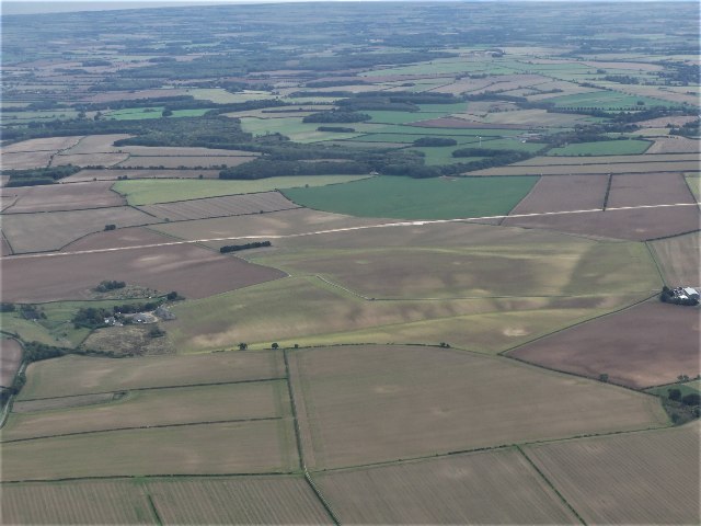
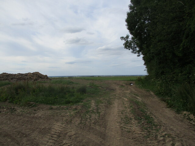
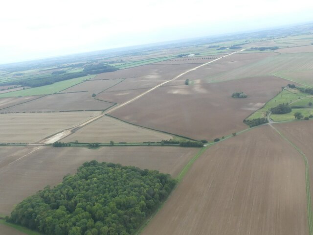
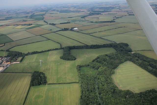
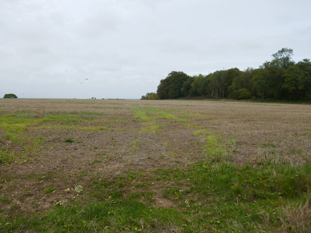
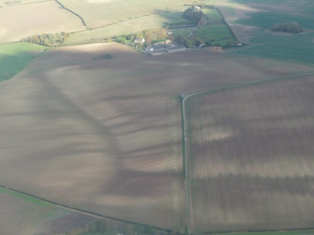
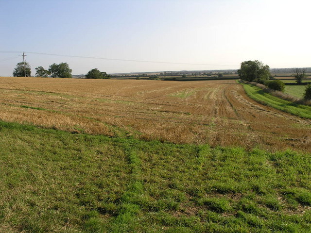
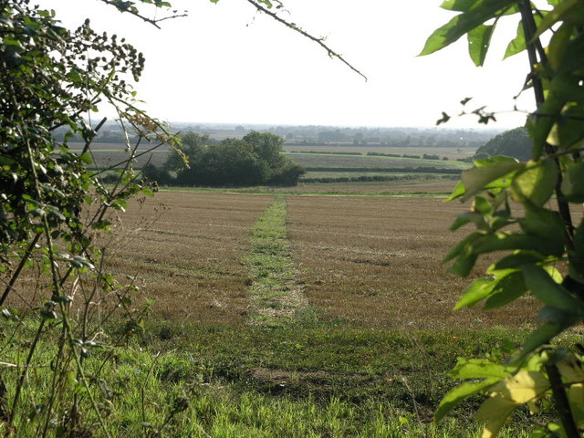
Alford Road Plantation is a charming woodland located in Lincolnshire, England. Situated near the town of Alford, this forested area spans across a vast expanse of around 200 acres. The plantation is easily accessible, as it is conveniently located alongside Alford Road, which connects to the A1111.
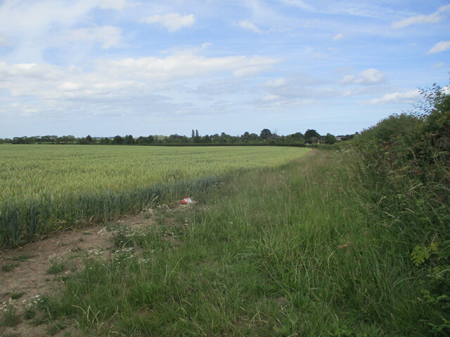
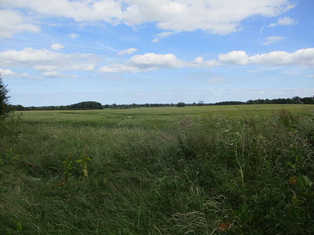
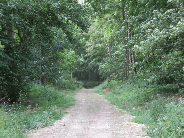
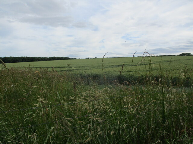
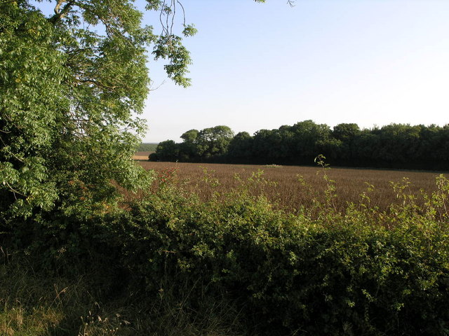
The woodland is a mix of both deciduous and coniferous trees, creating a diverse and picturesque landscape. The plantation is home to a variety of tree species, including oak, beech, birch, and pine, all of which contribute to the rich biodiversity of the area. This makes it an ideal habitat for numerous wildlife species, such as birds, squirrels, and rabbits.
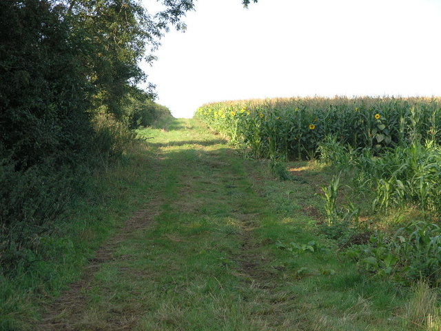
Visitors to Alford Road Plantation can enjoy a peaceful and tranquil environment, perfect for walking, hiking, or simply immersing oneself in nature. There are several well-maintained walking trails that wind through the woodland, offering picturesque views and opportunities to observe the local flora and fauna.
The plantation is also a popular spot for nature enthusiasts and birdwatchers, who often visit to catch a glimpse of the various bird species that inhabit the area. Additionally, the woodland provides a beautiful backdrop for photography, with its vibrant foliage during the autumn months and the serene atmosphere it offers year-round.
Overall, Alford Road Plantation is a serene and picturesque woodland, offering a peaceful escape from the hustle and bustle of everyday life. With its diverse range of trees, abundant wildlife, and well-maintained trails, it is a must-visit destination for nature lovers in Lincolnshire.
If you have any feedback on the listing, please let us know in the comments section below.
Alford Road Plantation Images
Images are sourced within 2km of 53.24666/0.13356166 or Grid Reference TF4274. Thanks to Geograph Open Source API. All images are credited.


Alford Road Plantation is located at Grid Ref: TF4274 (Lat: 53.24666, Lng: 0.13356166)
Administrative County: Lincolnshire
District: East Lindsey
Police Authority: Lincolnshire
What 3 Words
///corrects.questions.cornering. Near Alford, Lincolnshire
Nearby Locations
Related Wikis

Miles Cross Hill
Miles Cross Hill is a large hill that is the sloping gradient up to the landscape of the Lincolnshire Wolds. As it is the first large hill of the Wolds...

Rigsby, Lincolnshire
Rigsby is a village and part of the civil parish of Rigsby with Ailby, in the East Lindsey district of Lincolnshire, England. It is situated approximately...

Ulceby with Fordington
Ulceby with Fordington is a civil parish in the East Lindsey district of Lincolnshire, England. The parish is situated 27 miles (43 km) east from the city...
Ulceby, East Lindsey
Ulceby is a village in the East Lindsey district of Lincolnshire in England. It is situated next to the A1028 road, 11 miles (18 km) east from Horncastle...

Haugh, Lincolnshire
Haugh is a hamlet and civil parish in the East Lindsey district of Lincolnshire, England. It is situated about 2 miles (3 km) south-west from the town...

Well, Lincolnshire
Well is a small estate village and civil parish about 1.5 miles (2.4 km) south of the town of Alford, in the East Lindsey district of Lincolnshire, England...
Well Hall, Lincolnshire
Well Hall (or Wellvale Hall) is a country house within the civil parish and estate village of Well, Lincolnshire, England. The house itself is Grade II...
Alford Town railway station
Alford Town was a railway station on the East Lincolnshire Railway which served the town of Alford in Lincolnshire between 1848 and 1970. It originally...
Related Videos

The Stables barn to holiday cottage conversion - Rigsby Wold Holiday Cottages, Lincolnshire
A 12 minute video showing the barn conversion we performed on an old disused barn dating from 1800s on our family farm in ...

Pheasant Holliday Cottage Rigsby, Alford, Lincolnshire Wolds UK
On our family farm we have 3 holiday cottages: Pheasant, Owl and Stables. This short video is about Pheasant - it is our first short ...

Rigsby wood , Cam travel.
GoPro 10 in action + color grading My Gear : Drone - DJI mini 3 Pro Cam - GO Pro 10 Laptop - Acer Predator Helios 300 i7 ...

Off Road Wild Camp, Lincolnshire Wolds: 29th July 2023
Escaping The Matrix with an Off Road Wild Camp in Rigsby, on the edge of the Lincolnshire Wolds, an Area of Natural Beauty, ...
Nearby Amenities
Located within 500m of 53.24666,0.13356166Have you been to Alford Road Plantation?
Leave your review of Alford Road Plantation below (or comments, questions and feedback).