Alder Wood
Wood, Forest in Hertfordshire East Hertfordshire
England
Alder Wood
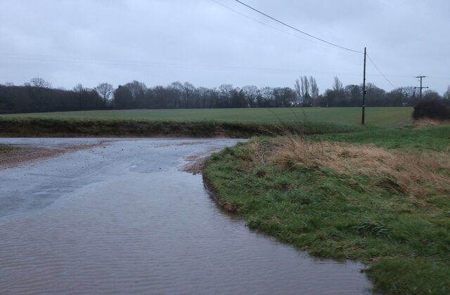
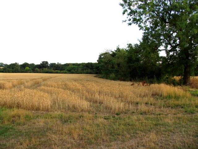
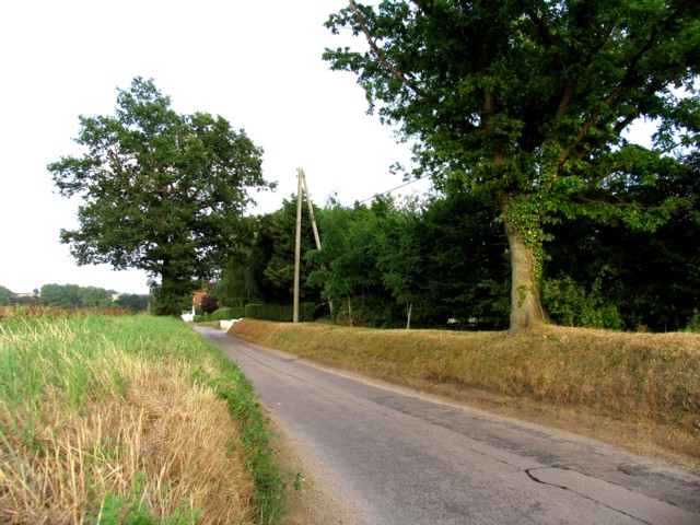
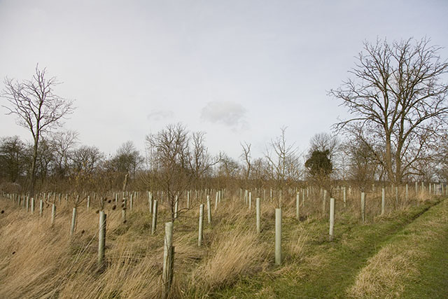
Alder Wood is a small forest located in the county of Hertfordshire, England. Covering an area of approximately 50 acres, it is known for its dense population of alder trees, from which it derives its name. The wood is situated in a rural setting, surrounded by rolling hills and picturesque countryside.
The forest is home to a variety of wildlife, including deer, rabbits, and a wide range of bird species, making it a popular spot for nature enthusiasts and birdwatchers. The dense foliage and tall trees create a tranquil and peaceful atmosphere, providing a perfect escape from the hustle and bustle of nearby towns and cities.
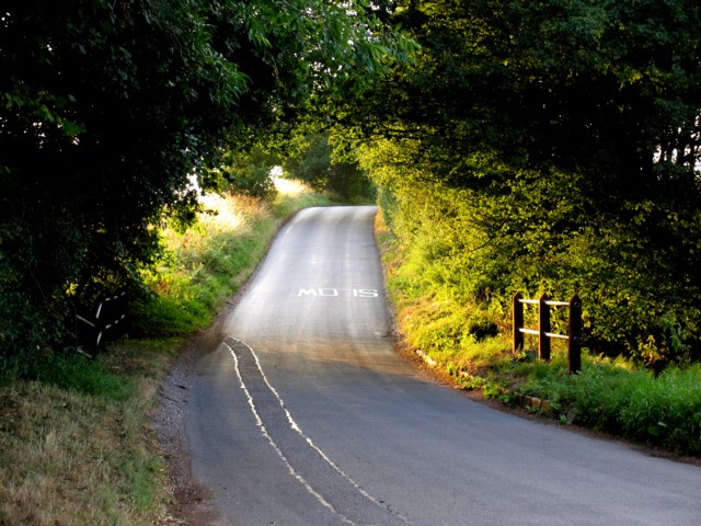
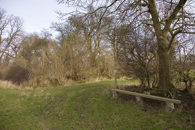
Alder Wood offers several walking trails that wind through its wooded areas, providing visitors with the opportunity to explore and immerse themselves in the natural beauty of the forest. Along these trails, one can find a diverse array of plant life, including wildflowers, ferns, and mosses, adding to the overall charm of the wood.
The forest also holds historical significance, with evidence of human activity dating back centuries. Archaeological remains, including ancient tools and artifacts, have been discovered in the vicinity, suggesting that Alder Wood was once inhabited by early settlers.
Overall, Alder Wood is a tranquil and enchanting forest, offering visitors a chance to connect with nature and experience the beauty of Hertfordshire's countryside. Its diverse wildlife, picturesque scenery, and historical significance make it a must-visit destination for nature lovers and history enthusiasts alike.
If you have any feedback on the listing, please let us know in the comments section below.
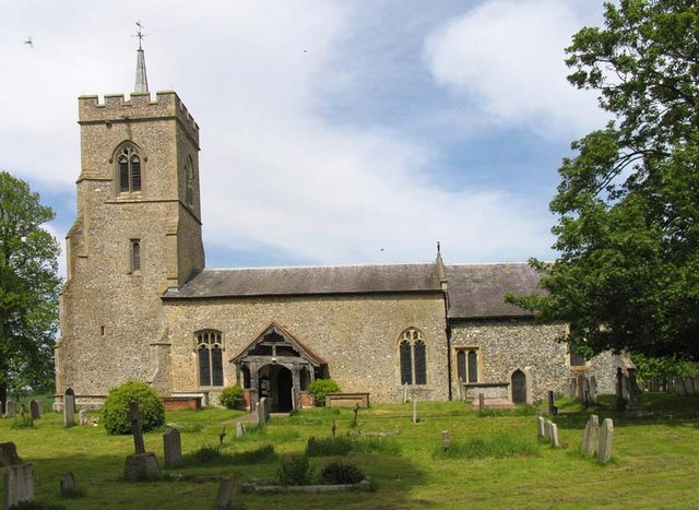
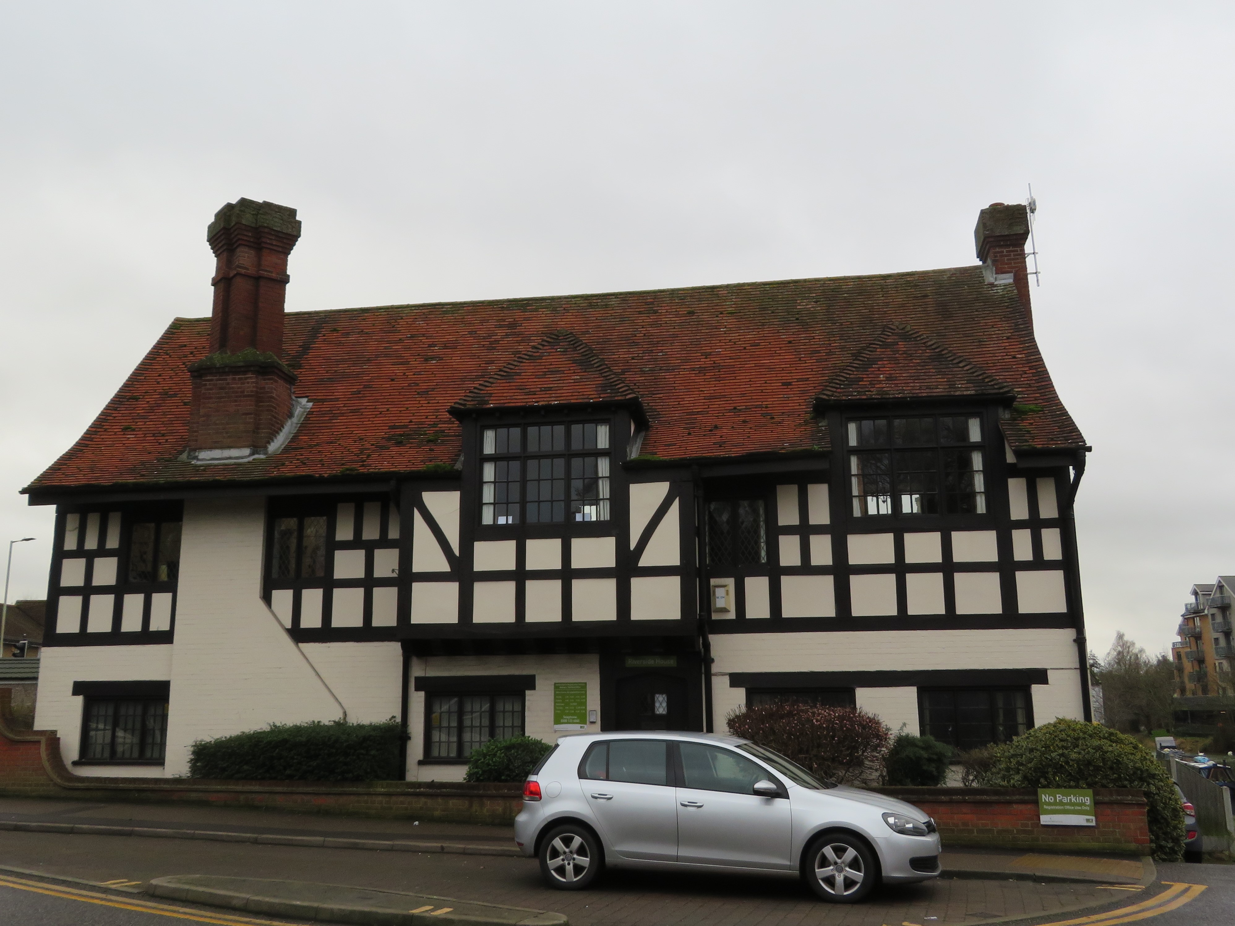
Alder Wood Images
Images are sourced within 2km of 51.875655/0.068450493 or Grid Reference TL4221. Thanks to Geograph Open Source API. All images are credited.


Alder Wood is located at Grid Ref: TL4221 (Lat: 51.875655, Lng: 0.068450493)
Administrative County: Hertfordshire
District: East Hertfordshire
Police Authority: Hertfordshire
What 3 Words
///promising.spooned.rock. Near Much Hadham, Hertfordshire
Nearby Locations
Related Wikis

Wellpond Green
Wellpond Green is a hamlet near the A120 road and the town of Bishop's Stortford, in the county of Hertfordshire, England. Wellpond Green contains 4 listed...
Little Hadham
Little Hadham is a village and civil parish in the district of East Hertfordshire, Hertfordshire, England. At the census of 2001 it had a population of...
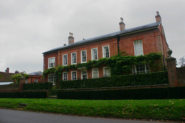
Much Hadham Palace
Much Hadham House is a manor house adjacent to the church in Much Hadham, Hertfordshire, England, formerly belonging to the Bishops of London. It is a...

Albury End
Albury End is a hamlet in Hertfordshire, England. It is in the civil parish of Albury. == External links == Media related to Albury End at Wikimedia Commons
Much Hadham
Much Hadham, formerly known as Great Hadham, is a village and civil parish in the district of East Hertfordshire, Hertfordshire, England. The parish of...
Hadham Rural District
Hadham Rural District was a rural district in Hertfordshire, England from 1894 to 1935, covering an area in the east of the county. == Evolution == The...
Braughing Friars
Braughing Friars is a hamlet in Hertfordshire, England. It is in the civil parish of Braughing. == External links == Media related to Braughing Friars...

Moor Place, Hertfordshire
Moor Place is a country house within the civil parish of Much Hadham, in the East Hertfordshire district, in the county of Hertfordshire, England. It is...
Nearby Amenities
Located within 500m of 51.875655,0.068450493Have you been to Alder Wood?
Leave your review of Alder Wood below (or comments, questions and feedback).