Westland Green
Settlement in Hertfordshire East Hertfordshire
England
Westland Green
Westland Green is a small village located in the county of Hertfordshire, England. Situated near the town of Hatfield, Westland Green is known for its picturesque countryside and tranquil atmosphere. The village is primarily residential, with a population of around 500 residents.
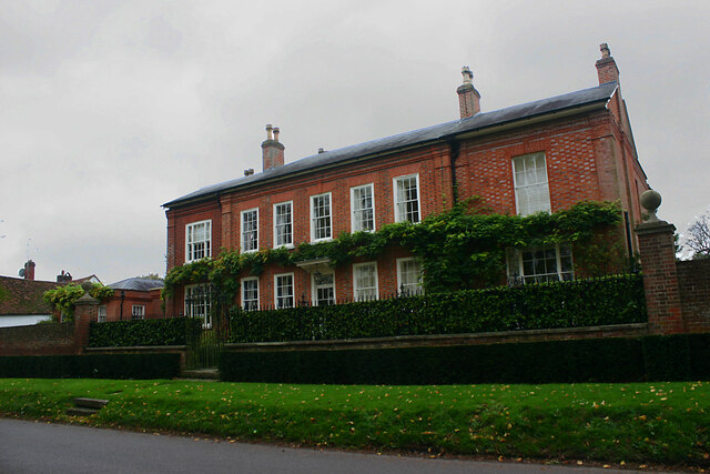
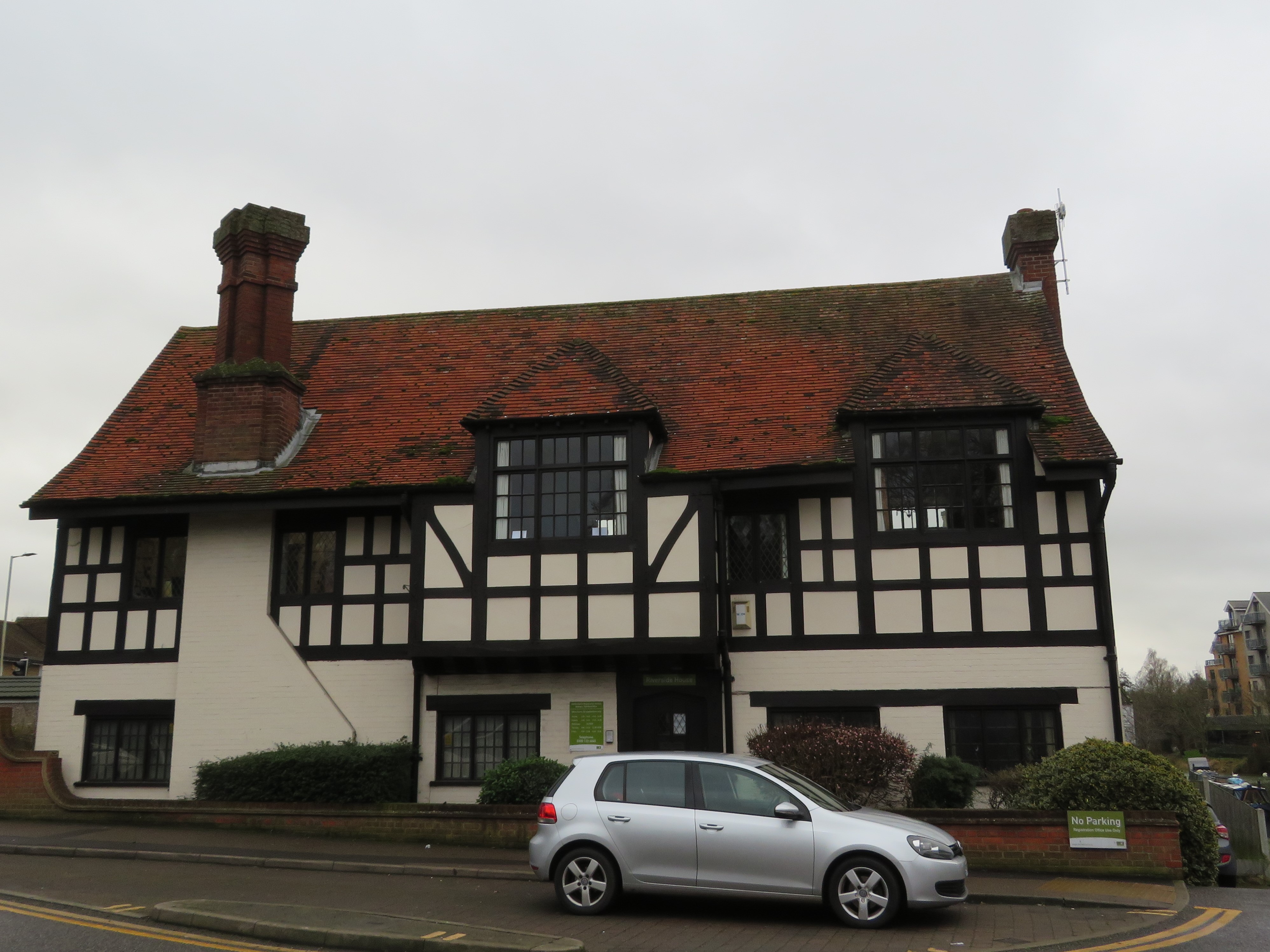
Westland Green offers a variety of housing options, ranging from charming cottages to modern family homes. The village is characterized by its well-maintained gardens and green spaces, which contribute to its overall aesthetic appeal. The community spirit is strong in Westland Green, with regular events and activities organized by local residents.
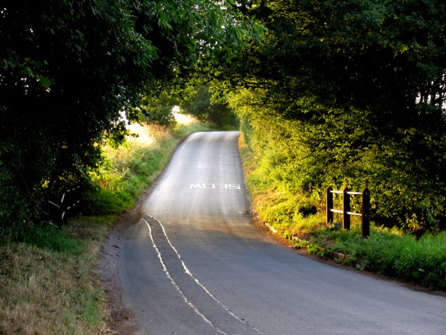
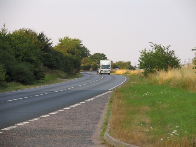
The village is well-connected to nearby towns and cities, with easy access to major transportation routes. The A414 road is just a short distance away, providing convenient links to Hatfield, St Albans, and the wider Hertfordshire area. The nearby Hatfield train station offers regular services to London, making it an ideal location for commuters.
Residents of Westland Green benefit from a range of amenities and facilities in the surrounding area. The Galleria Shopping Centre in Hatfield is a popular destination for retail therapy, offering a wide selection of shops, restaurants, and entertainment options. The village is also within close proximity to several schools, making it an attractive location for families.
Overall, Westland Green offers a peaceful and idyllic setting, ideal for those seeking a quiet countryside lifestyle while still enjoying convenient access to nearby towns and cities. With its charming architecture, friendly community, and beautiful surroundings, Westland Green is a desirable place to call home.
If you have any feedback on the listing, please let us know in the comments section below.
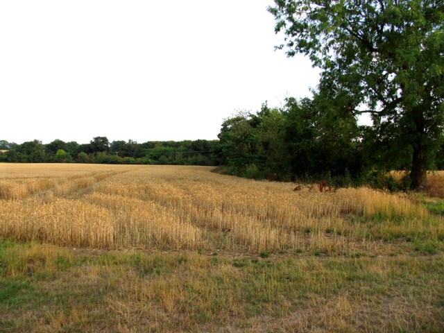
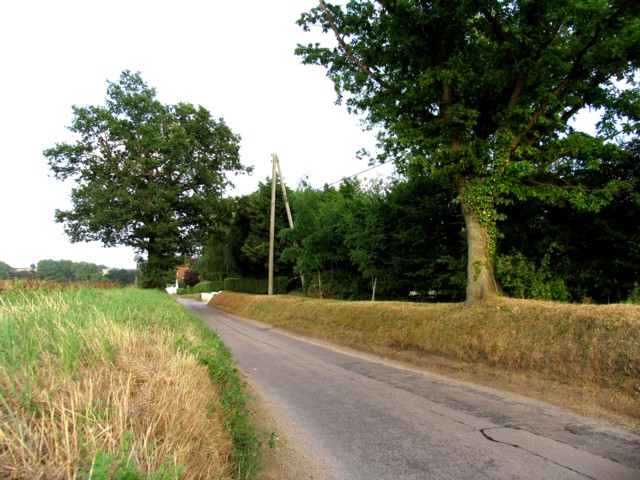
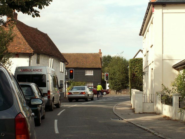
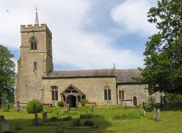
Westland Green Images
Images are sourced within 2km of 51.875028/0.0652401 or Grid Reference TL4221. Thanks to Geograph Open Source API. All images are credited.


Westland Green is located at Grid Ref: TL4221 (Lat: 51.875028, Lng: 0.0652401)
Administrative County: Hertfordshire
District: East Hertfordshire
Police Authority: Hertfordshire
What 3 Words
///sponge.meanders.orders. Near Much Hadham, Hertfordshire
Nearby Locations
Related Wikis

Wellpond Green
Wellpond Green is a hamlet near the A120 road and the town of Bishop's Stortford, in the county of Hertfordshire, England. Wellpond Green contains 4 listed...
Little Hadham
Little Hadham is a village and civil parish in the district of East Hertfordshire, Hertfordshire, England. At the census of 2001 it had a population of...
Much Hadham Palace
Much Hadham House is a manor house adjacent to the church in Much Hadham, Hertfordshire, England, formerly belonging to the Bishops of London. It is a...

Albury End
Albury End is a hamlet in Hertfordshire, England. It is in the civil parish of Albury. == External links == Media related to Albury End at Wikimedia Commons
Much Hadham
Much Hadham, formerly known as Great Hadham, is a village and civil parish in the district of East Hertfordshire, Hertfordshire, England. The parish of...
Braughing Friars
Braughing Friars is a hamlet in Hertfordshire, England. It is in the civil parish of Braughing. == External links == Media related to Braughing Friars...
Hadham Rural District
Hadham Rural District was a rural district in Hertfordshire, England from 1894 to 1935, covering an area in the east of the county. == Evolution == The...

Standon, Hertfordshire
Standon is a village and civil parish in Hertfordshire, England. The parish includes the adjoining village of Puckeridge. The village church of St Mary...
Nearby Amenities
Located within 500m of 51.875028,0.0652401Have you been to Westland Green?
Leave your review of Westland Green below (or comments, questions and feedback).