Barnetts Shaw
Wood, Forest in Surrey Tandridge
England
Barnetts Shaw
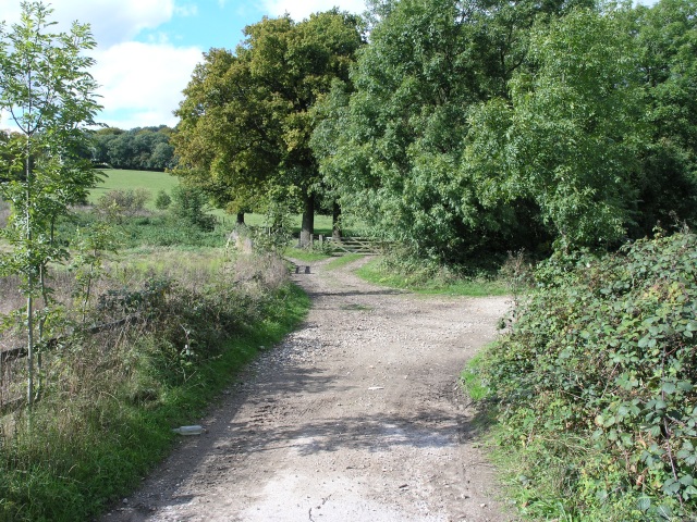
Barnetts Shaw is a serene and picturesque woodland area located in the county of Surrey, England. It is nestled within the larger forest of Surrey, known for its abundant greenery and natural beauty. The Shaw, named after the Old English word for a small wood, is a tranquil retreat away from the bustling city life.
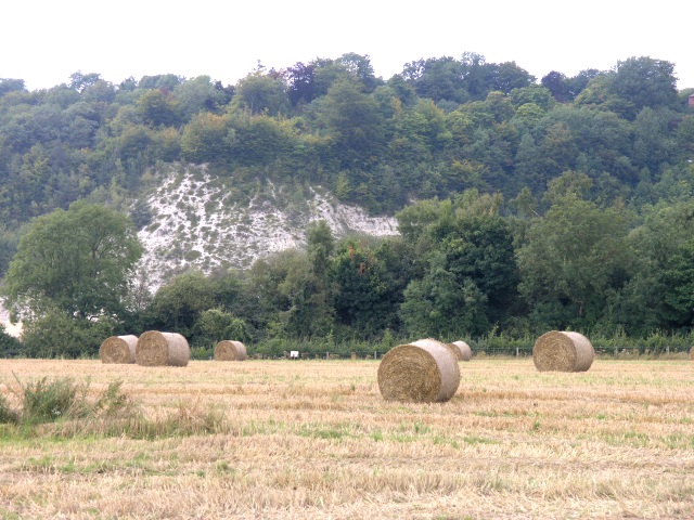
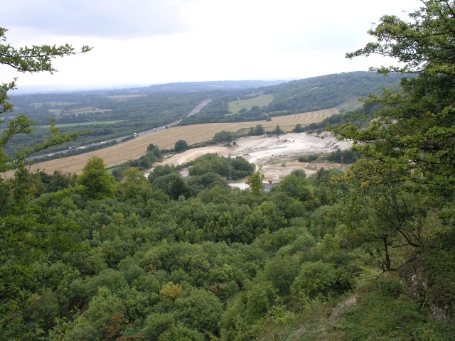
Covering an area of approximately 100 acres, Barnetts Shaw boasts a diverse range of tree species, including oak, beech, birch, and pine. This woodland serves as a habitat for numerous wildlife species, such as deer, foxes, rabbits, and a variety of bird species. Walking through the Shaw, visitors can immerse themselves in the peaceful surroundings and enjoy the melodic sounds of birds chirping and leaves rustling in the wind.
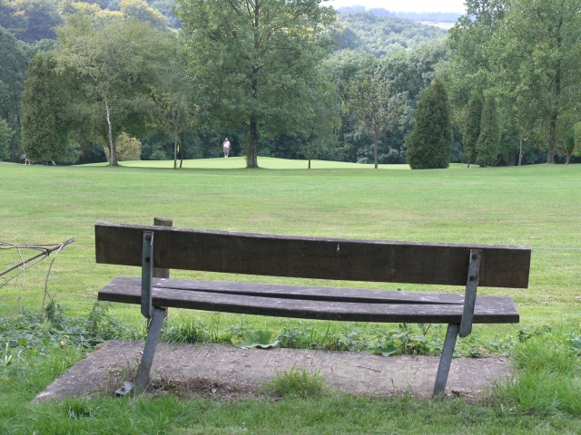
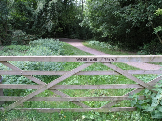
The woodland offers a network of well-maintained footpaths, making it an ideal destination for nature lovers and outdoor enthusiasts. These paths allow visitors to explore the area at their own pace and discover hidden gems within the forest. Additionally, there are designated picnic areas where families and friends can enjoy a leisurely outdoor meal surrounded by nature's beauty.
Barnetts Shaw is a popular spot for nature walks, jogging, and dog walking. Its proximity to residential areas makes it easily accessible to locals who seek a quick escape to nature. The forest management ensures the preservation of this natural habitat, creating a sustainable environment for both flora and fauna.
Overall, Barnetts Shaw in Surrey is a peaceful haven where visitors can reconnect with nature, enjoy the tranquility of the woodland, and appreciate the beauty of the surrounding forest.
If you have any feedback on the listing, please let us know in the comments section below.
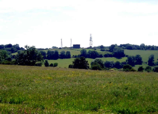
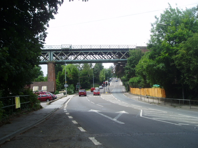
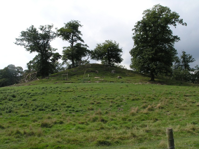
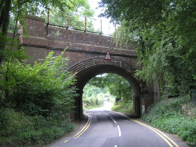
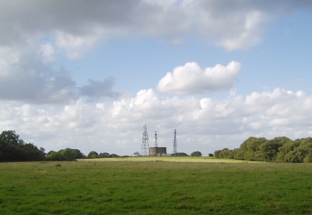
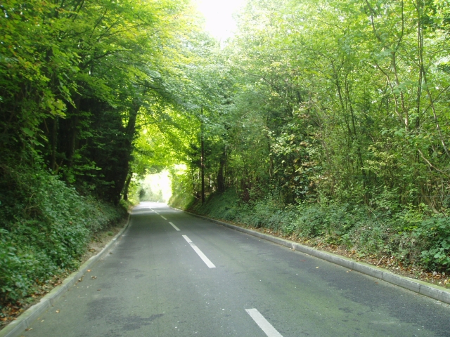
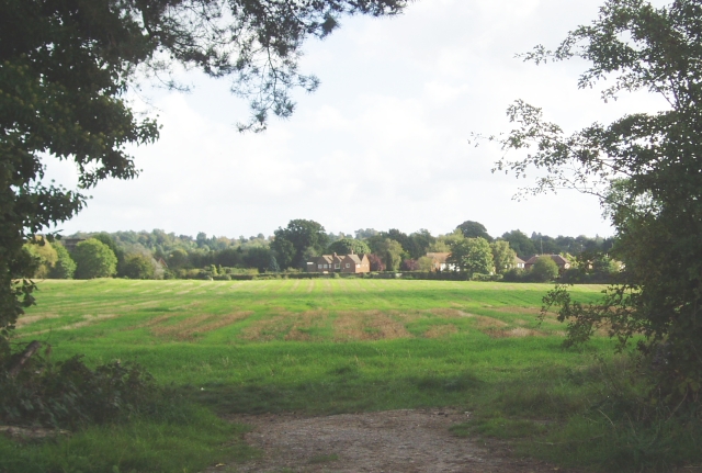
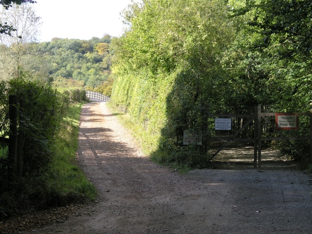
Barnetts Shaw Images
Images are sourced within 2km of 51.263037/-0.010387936 or Grid Reference TQ3853. Thanks to Geograph Open Source API. All images are credited.

Barnetts Shaw is located at Grid Ref: TQ3853 (Lat: 51.263037, Lng: -0.010387936)
Administrative County: Surrey
District: Tandridge
Police Authority: Surrey
What 3 Words
///starts.soil.slim. Near Oxted, Surrey
Nearby Locations
Related Wikis

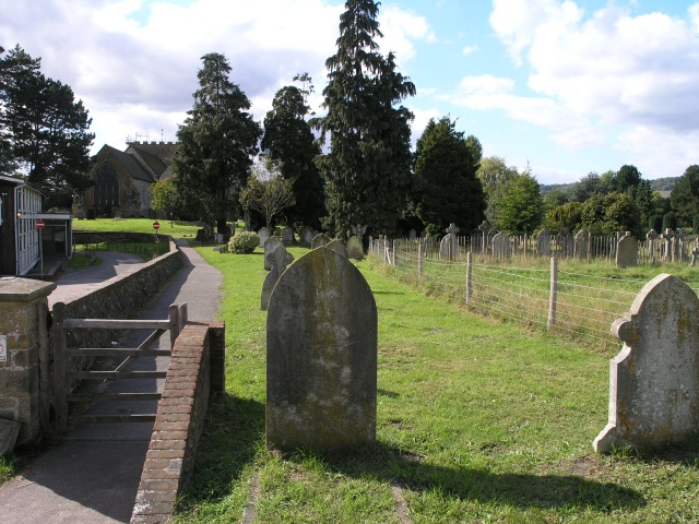
All Saints Church, Oxted
All Saints Church is a Roman Catholic Parish church in Oxted, Surrey. Building work on the church started in 1913 and was delayed by World War I. Aspects...
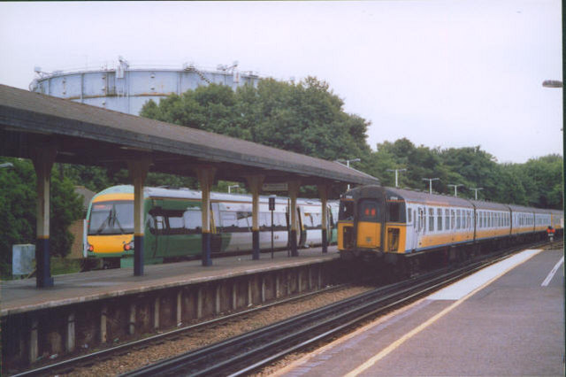
Oxted railway station
Oxted railway station is on the Oxted line in southern England, serving the commuter town of Oxted, Surrey. It is 20 miles 25 chains (20.31 miles, 32.69...

Oxted School
Oxted School is a coeducational secondary school and sixth form located in the English town of Oxted, Surrey. It was opened in 1929 as the first mixed...
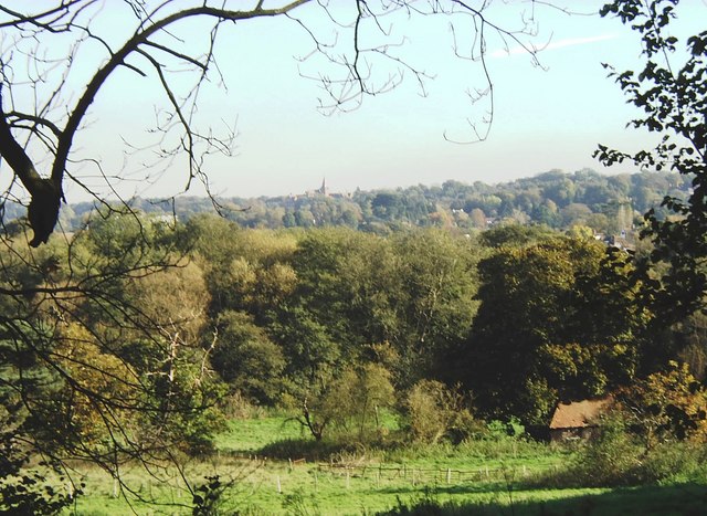
Oxted
Oxted is a town and civil parish in the Tandridge district of Surrey, England, at the foot of the North Downs. It is 9 miles (14 km) south south-east of...
Nearby Amenities
Located within 500m of 51.263037,-0.010387936Have you been to Barnetts Shaw?
Leave your review of Barnetts Shaw below (or comments, questions and feedback).