Ash Wood

Wood, Forest in Sussex Mid Sussex

England

Ash Wood

Buildings as part of Standen National Trust
Buildings as part of Standen National Trust Credit: Barry Hunter

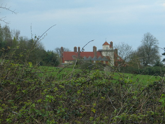
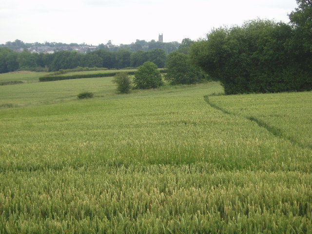
Ash Wood is a picturesque forest located in Sussex, England. Covering an area of approximately 500 acres, it is known for its stunning natural beauty and diverse ecosystem. The woodland is primarily composed of ash trees, from which it derives its name, and is a haven for wildlife and nature enthusiasts alike.

The forest is characterized by its dense canopy of tall, mature trees that create a serene and tranquil atmosphere. The towering ash trees provide ample shade and shelter, making it an ideal habitat for a variety of bird species, including woodpeckers, owls, and songbirds. Additionally, the forest is home to a rich array of flora and fauna, with wildflowers, ferns, and mosses carpeting the forest floor.

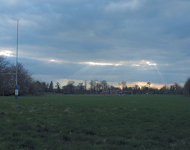
Visitors to Ash Wood can explore a network of well-maintained walking trails that wind through the forest, offering opportunities for peaceful strolls and wildlife spotting. The forest is also a popular destination for nature photography, with its picturesque landscapes and abundant wildlife providing excellent subjects.

In addition to its natural beauty, Ash Wood holds historical significance. It is believed that the forest has been in existence for hundreds of years and has witnessed various historical events. Some remnants of ancient settlements and boundary markers can still be found within the woodland, adding an element of intrigue and fascination for history enthusiasts.

Overall, Ash Wood in Sussex is a captivating destination for those seeking solace in nature. With its breathtaking beauty, diverse wildlife, and historical significance, it offers a unique and enriching experience for all who visit.

If you have any feedback on the listing, please let us know in the comments section below.
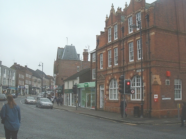
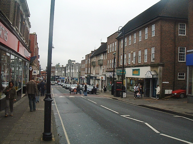
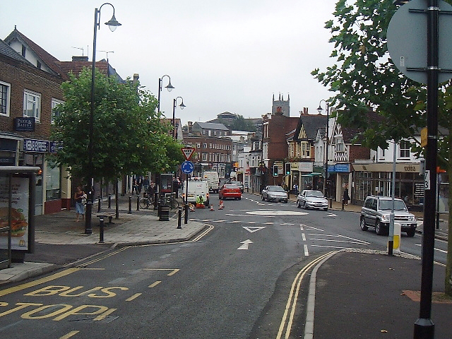
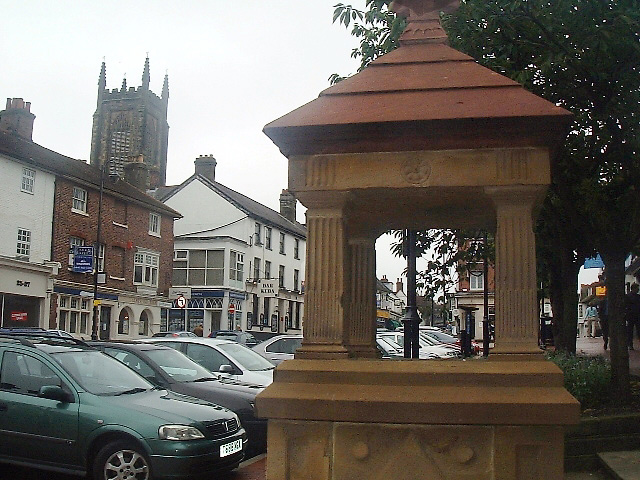
Ash Wood Images

Images are sourced within 2km of 51.111656/-0.016711121 or Grid Reference TQ3836. Thanks to Geograph Open Source API. All images are credited.

Buildings as part of Standen National Trust
Rugby Fields Marked on the map as playing fields at the central southern edge of the grid square.
Rugby Fields
Marked on the map as playing fields at the central southern edge of the grid square.
The old houses and shops at East Grinstead The top end of East Grinstead has not changed much for 100s of years. Many of the wood framed buildings still stand and the Town Church dominates.
The old houses and shops at East Grinstead
The top end of East Grinstead has not changed much for 100s of years. Many of the wood framed buildings still stand and the Town Church dominates.
East Grinstead Station This line was not electrified for many years. Nowadays regular trains run up to London and you travel in some comfort. The Bluebell Steam Railway line will join to this point in the future so access will be easy. Get off a modern train and get on a steam one.
East Grinstead Station
This line was not electrified for many years. Nowadays regular trains run up to London and you travel in some comfort. The Bluebell Steam Railway line will join to this point in the future so access will be easy. Get off a modern train and get on a steam one.
Bridge over the railway line Maps will have to be redrawn once the track and line are finished between Kingscote and East Grinstead stations. This line was one of the first to be 'axed' by Dr Beeching and subsequently was taken on by the Bluebell Line volunteers and enthusiasts. So soon you can change trains at East Grinstead to take the  steam train all the way to Sheffield Park.
Bridge over the railway line
Maps will have to be redrawn once the track and line are finished between Kingscote and East Grinstead stations. This line was one of the first to be 'axed' by Dr Beeching and subsequently was taken on by the Bluebell Line volunteers and enthusiasts. So soon you can change trains at East Grinstead to take the steam train all the way to Sheffield Park.
Across towards East Grinstead The footpath crosses the road at this point and you can see it running towards East Grinstead town church
Across towards East Grinstead
The footpath crosses the road at this point and you can see it running towards East Grinstead town church
East Grinstead Sports Club All weather hockey and summer cricket and more ! <span class="nowrap"><a title="www.egscc.co.uk/" rel="nofollow ugc noopener" href="http://www.egscc.co.uk/">Link</a><img style="margin-left:2px;" alt="External link" title="External link - shift click to open in new window" src="https://s1.geograph.org.uk/img/external.png" width="10" height="10"/></span>
East Grinstead Sports Club
All weather hockey and summer cricket and more ! LinkExternal link
Sackville College. East Grinstead Originally built as Almshouses in 1609
Sackville College. East Grinstead
Originally built as Almshouses in 1609
East Grinstead - road system The lower road used to be the railway line - the upper road takes vehicles through the town.
East Grinstead - road system
The lower road used to be the railway line - the upper road takes vehicles through the town.
Clarendon House Typical timber frame building in East Grinstead used as offices.
Clarendon House
Typical timber frame building in East Grinstead used as offices.
Post Office The high street leads up from the Post Office building which is the imposing red brick one.
Post Office
The high street leads up from the Post Office building which is the imposing red brick one.
Town shops Looking down the high street towards the north. Woolworths on the left.
Town shops
Looking down the high street towards the north. Woolworths on the left.
The Broadway Entering East Grinstead centre from the south
The Broadway
Entering East Grinstead centre from the south
Water Fountain Erected in 1887, to mark Queen Victoria’s Golden Jubilee, is now dry.
Water Fountain
Erected in 1887, to mark Queen Victoria’s Golden Jubilee, is now dry.
Gardens at Standen From the East side of the house
Gardens at Standen
From the East side of the house
Standen Standen (now an NT property) was built in the 1890s and is decorated with William Morris wallpapers and fabrics.
Standen
Standen (now an NT property) was built in the 1890s and is decorated with William Morris wallpapers and fabrics.
Saint Hill Manor 18th century manor house, once owned by L Ron Hubbard
Saint Hill Manor
18th century manor house, once owned by L Ron Hubbard
Show me another place!

Ash Wood is located at Grid Ref: TQ3836 (Lat: 51.111656, Lng: -0.016711121)

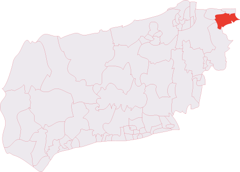
Administrative County: West Sussex

District: Mid Sussex

Police Authority: Sussex

What 3 Words

///legs.beats.vets. Near East Grinstead, West Sussex

Related Wikis

East Grinstead South & Ashurst Wood (electoral division)

East Grinstead South & Ashurst Wood is an electoral division of West Sussex in the United Kingdom, and returns one member to sit on West Sussex County...
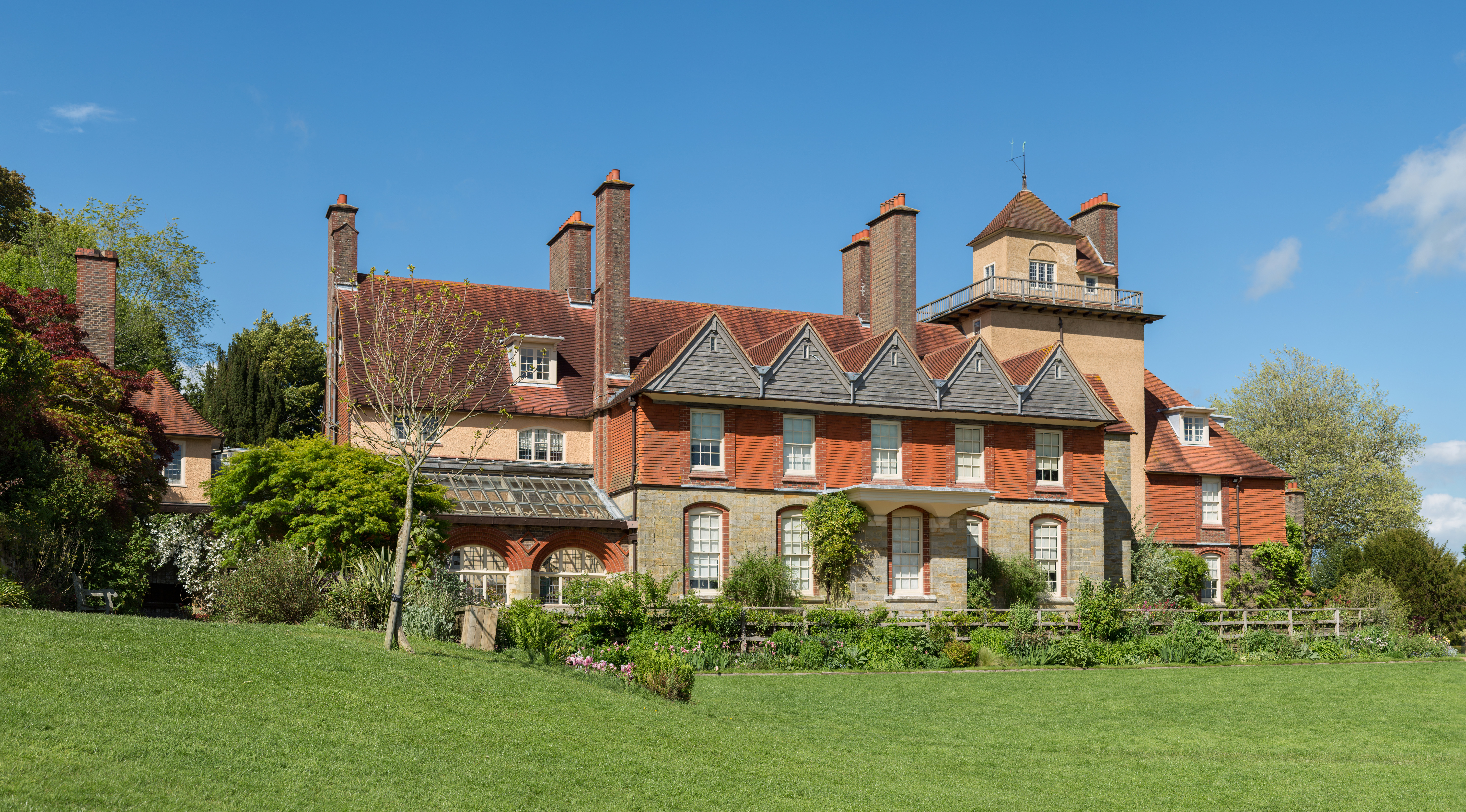
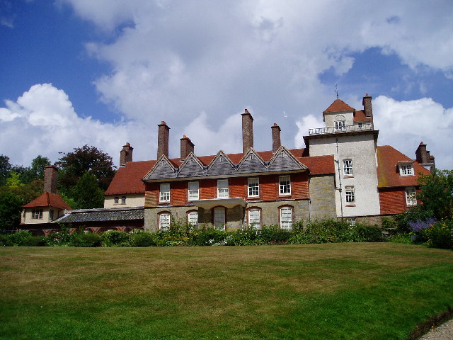
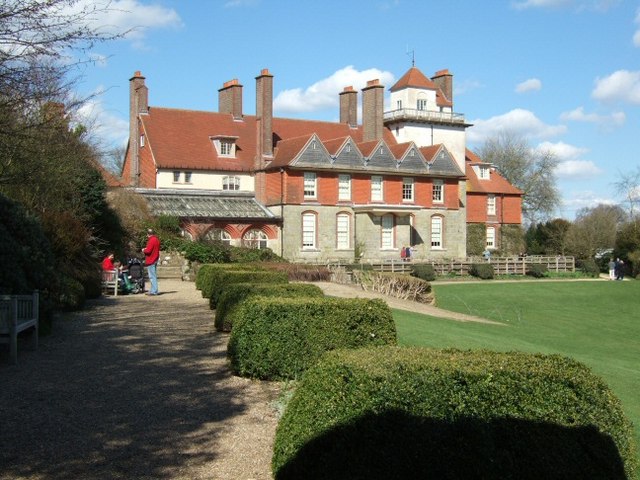
Standen

Standen is an Arts and Crafts house located to the south of East Grinstead, West Sussex, England. The house and its surrounding gardens belong to the National...
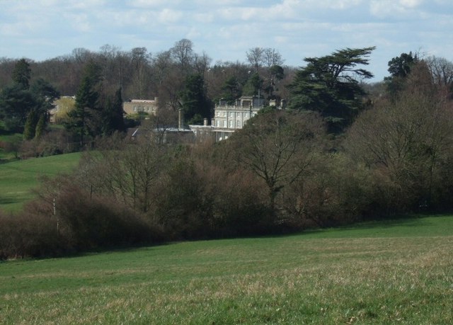
Saint Hill Manor

Saint Hill Manor is a Grade II listed country manor house at Saint Hill Green, near East Grinstead in West Sussex, England. It was constructed in 1792...

Saint Hill Green

Saint Hill Green is a small village near East Grinstead, West Sussex, England. It is notable for two country houses in the vicinity: Standen, designed...

Lingfield Cernes

Lingfield Cernes is a 10.3-hectare (25-acre) biological Site of Special Scientific Interest east of Lingfield in Surrey. == Site details == This site has...
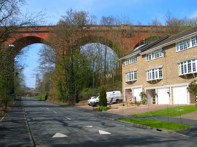
Imberhorne Viaduct

Imberhorne Viaduct is a Grade II listed railway viaduct located in East Grinstead, West Sussex, South-East England. Closed in 1958, the structure was brought...

West Street Baptist Church, East Grinstead

West Street Baptist Church (formerly Zion Chapel) is a Baptist church in East Grinstead, a town in the district of Mid Sussex, one of seven local government...

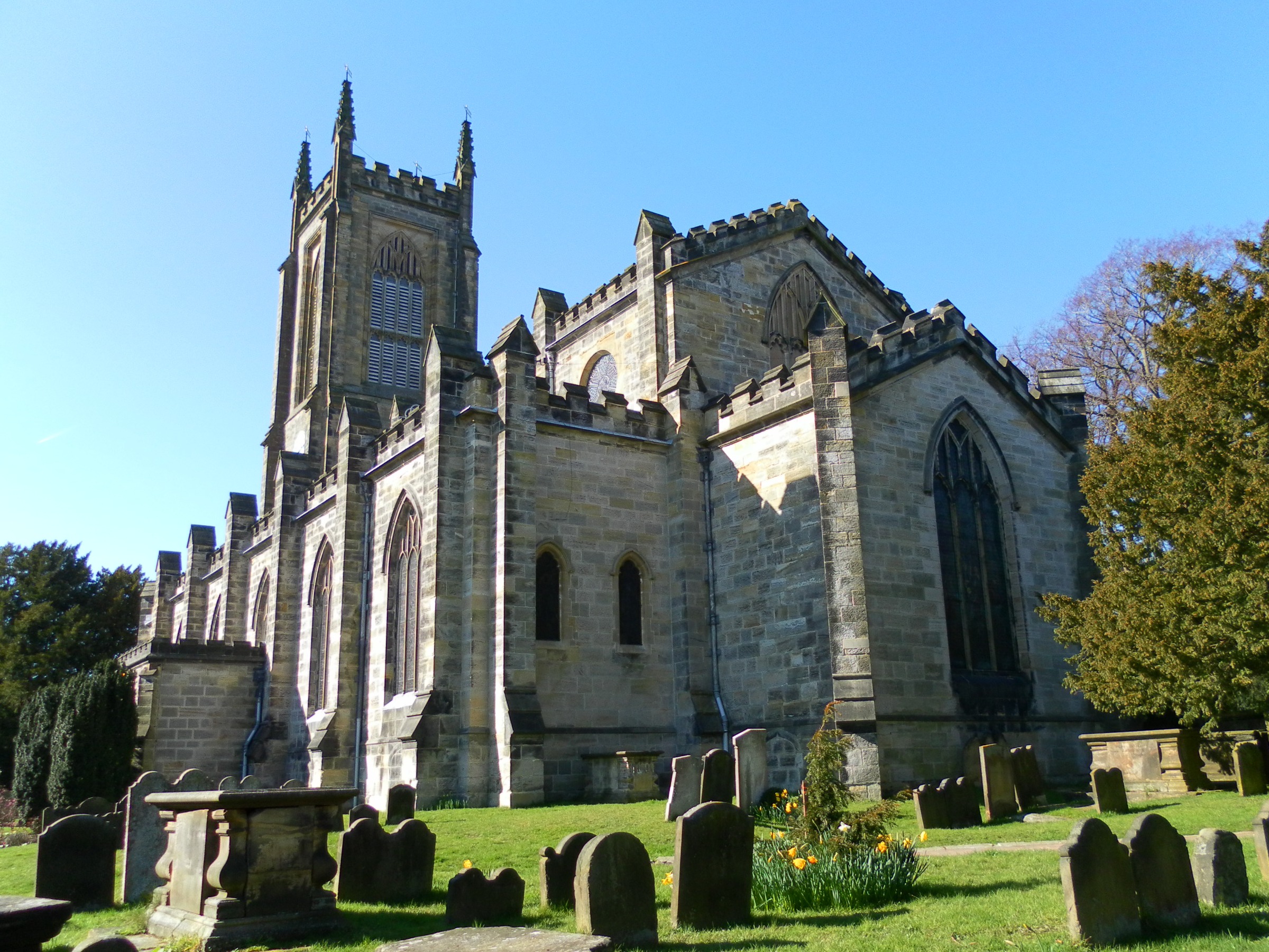
St Swithun's Church, East Grinstead

St. Swithun's is a Church of England church in East Grinstead, West Sussex, England, which is a Grade II* listed building.The site had a church since the...

Nearby Amenities

Located within 500m of 51.111656,-0.016711121
Barrier: stile
Lat/Long: 51.1153505/-0.0134607
Barrier: cycle_barrier
Lat/Long: 51.1130978/-0.0100152
Bus Stop
Dunnings Mill
Bench: yes
Bus: yes
Naptan AtcoCode: 4400EG0186
Naptan Bearing: N
Naptan BusStopType: CUS
Naptan CommonName: Dunnings Mill PH
Naptan Indicator: opp Dunnings Mill PH
Naptan Landmark: Stockwell Road
Naptan NaptanCode: wsxapata
Naptan Street: Dunnings Road
Naptan Verified: no
Public Transport: platform
Shelter: no
Source: naptan_import
Lat/Long: 51.1143891/-0.0118536
Bus Stop
Standen National Trust
Bench: no
Bus: yes
Naptan AtcoCode: 4400EG0187
Naptan Bearing: W
Naptan CommonName: Standen National Trust
Naptan Indicator: Outside
Naptan Landmark: Standen
Naptan NaptanCode: wsxapatd
Naptan ShortCommonName: Standen
Naptan Street: West Hoathley Road
Naptan Verified: no
Public Transport: platform
Shelter: no
Source: naptan_import
Tactile Paving: no
Lat/Long: 51.1074813/-0.0192589
Bus Stop
Standen National Trust
Bench: no
Bin: no
Bus: yes
Naptan AtcoCode: 4400EG0188
Naptan Bearing: E
Naptan CommonName: Standen National Trust
Naptan Indicator: opp
Naptan Landmark: Standen
Naptan NaptanCode: wsxapatg
Naptan ShortCommonName: Standen
Naptan Street: West Hoathley Road
Naptan Verified: no
Public Transport: platform
Shelter: no
Source: naptan_import
Tactile Paving: no
Lat/Long: 51.107519/-0.019465
Barrier: kissing_gate
Lat/Long: 51.1133915/-0.0159767
Ashwood Farm
Addr City: East Grinstead
Addr Postcode: RH19 4ND
Addr Street: West Hoathly Road
Landuse: farmyard
Note Retag: CS #48756035
Lat/Long: 51.1111623/-0.0142593
Evergreen Farm Woodland Campsite
Addr City: East Grinstead
Addr Postcode: RH19 4NE
Addr Street: West Hoathly Road
Capacity: 11
Email: evergreenfarmland@gmail.com
Fee: yes
Operator: Evergreen Farm
Phone: +44 7377 662852
Tourism: camp_site
Lat/Long: 51.1084194/-0.0127439
Post Box
Brand: Royal Mail
Brand Wikidata: Q638098
Brand Wikipedia: en:Royal Mail
Collection Times: Mo-Fr 09:00; Sa 07:00
Drive Through: no
Operator: Royal Mail
Operator Wikidata: Q638098
Post Box Type: lamp
Ref: RH19 39D
Royal Cypher: EIIR
Royal Cypher Wikidata: Q33102113
Lat/Long: 51.1131667/-0.0136683
Social Facility
Beechcroft Care Centre
Addr City: East Grinstead
Addr Postcode: RH19 4ND
Addr Street: West Hoathly Road
Fhrs Id: 25546
Social Facility: group_home
Social Facility For: senior
Website: https://sussexhealthcare.co.uk/home/beechcroft-care-centre/
Lat/Long: 51.1094856/-0.0168675
Ashdown Solutions Limited
Addr City: East Grinstead
Addr Housename: Bulrushes Business Park
Addr Housenumber: Unit 1A The Granary
Addr Postcode: RH19 4LZ
Addr Street: Coombe Hill Road
Email: hello@ashdownsolutions.co.uk
Fhrs Id: 963276
Internet Access: yes
Office: it
Opening Hours: Mo-Fr 08:30-17:30
Phone: +44 1342 363000
Website: https://www.ashdownsolutions.co.uk
Lat/Long: 51.1151306/-0.015183
Yummy Sweetener
Addr City: East Grinstead
Addr Housename: Bulrushes Business Park
Addr Housenumber: Unit 22
Addr Postcode: RH19 4LZ
Addr Street: Coombe Hill Road
Office: yes
Lat/Long: 51.1150929/-0.0151819
UK Mojito Lemon
Addr City: East Grinstead
Addr Housename: Bulrushes Business Park
Addr Housenumber: Unit 22
Addr Postcode: RH19 4LZ
Addr Street: Coombe Hill Road
Office: yes
Phone: +44 1342 302532
Website: https://mojitolemon.co.uk/
Lat/Long: 51.1150363/-0.0151776
The data included in this document is from www.openstreetmap.org. The data is made available under ODbL.

Have you been to Ash Wood?

Leave your review of Ash Wood below (or comments, questions and feedback).