Armitage Wood
Wood, Forest in Surrey Tandridge
England
Armitage Wood
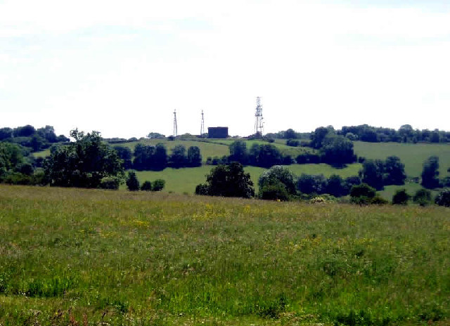
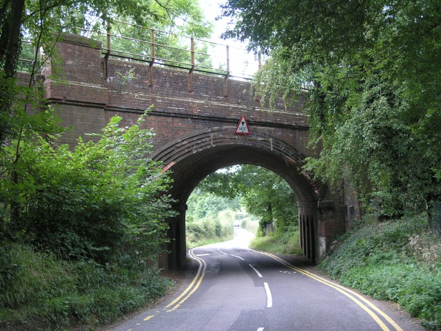
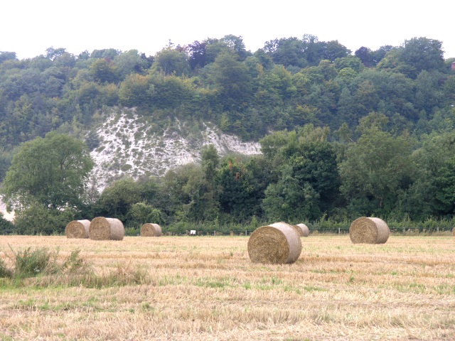
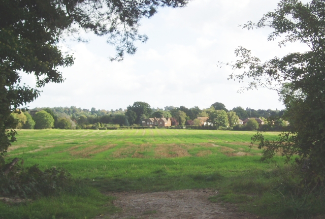
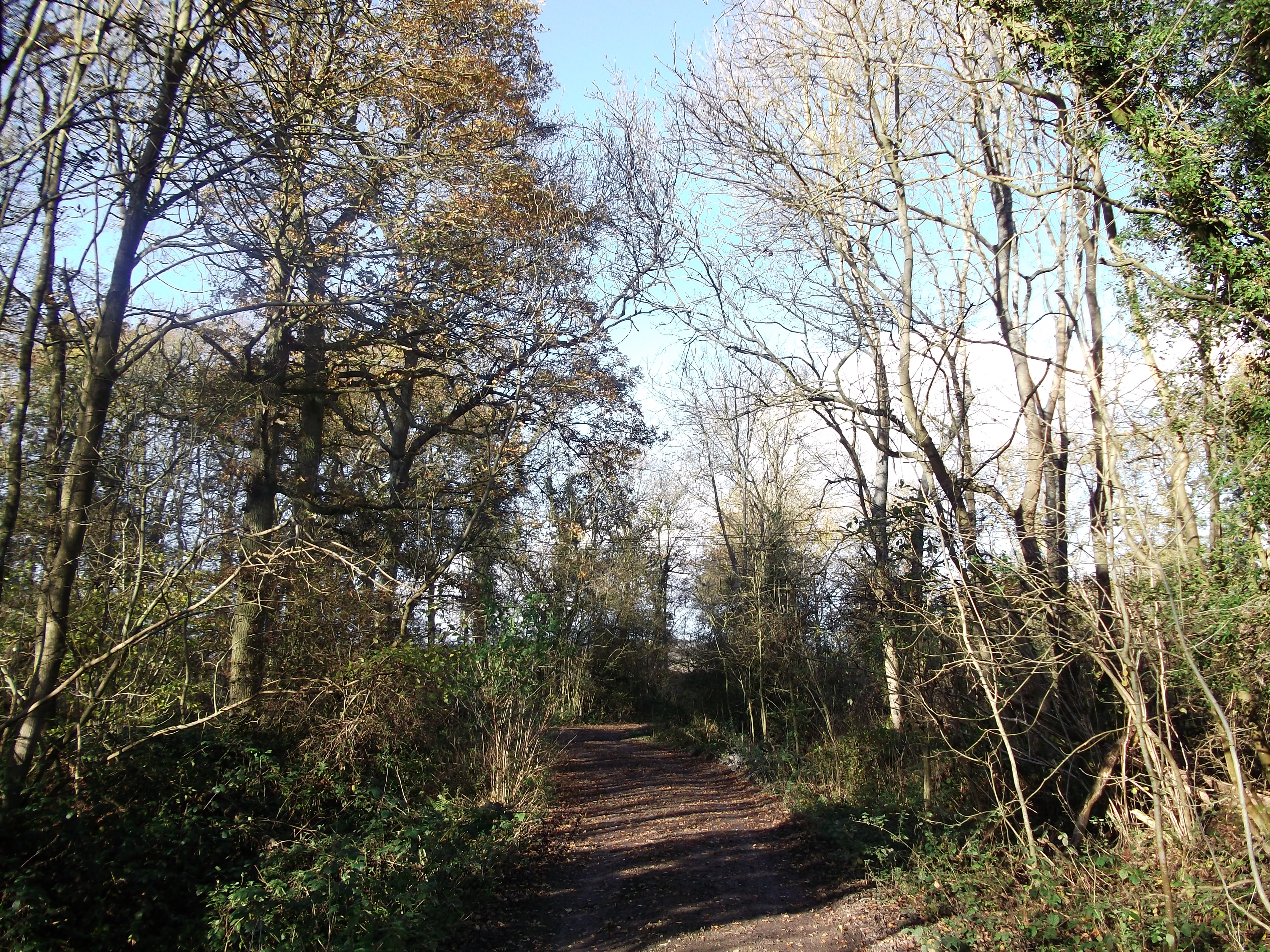
Armitage Wood is a picturesque forest located in Surrey, England. Spanning approximately 100 acres, it is a popular destination for nature enthusiasts and those seeking a tranquil escape from the bustling city life. The wood is situated near the village of Armitage, hence its name.
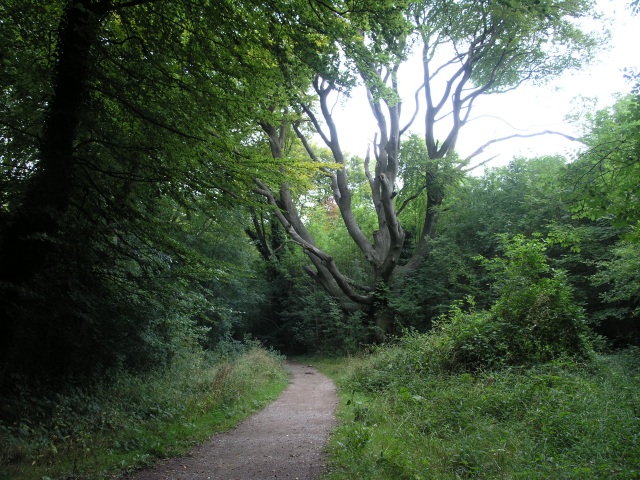
The wood boasts a diverse range of tree species, including oak, beech, and birch, creating a rich and vibrant ecosystem. The dense canopy overhead provides a cool and shaded environment, making it an ideal spot for leisurely walks and picnics on warm summer days. The forest floor is adorned with a carpet of bluebells in the spring, creating a breathtaking sight for visitors.
Armitage Wood is also home to a variety of wildlife, including deer, foxes, and numerous bird species. Birdwatchers flock to the area to catch glimpses of rare species such as woodpeckers and nightingales. The forest is also a sanctuary for endangered butterflies and insects, making it an important conservation site.
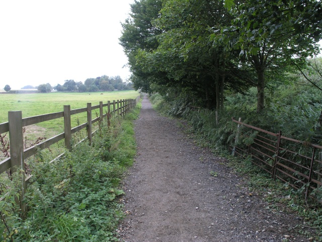
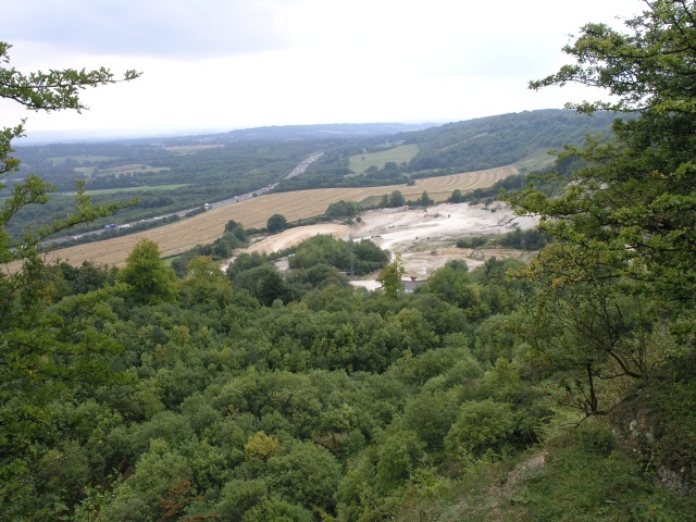
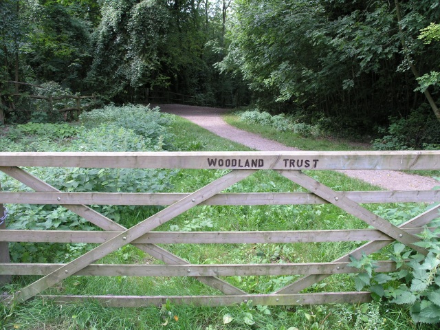
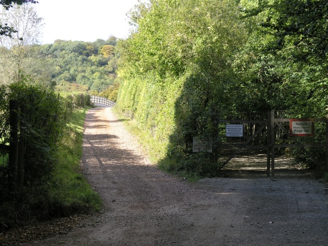
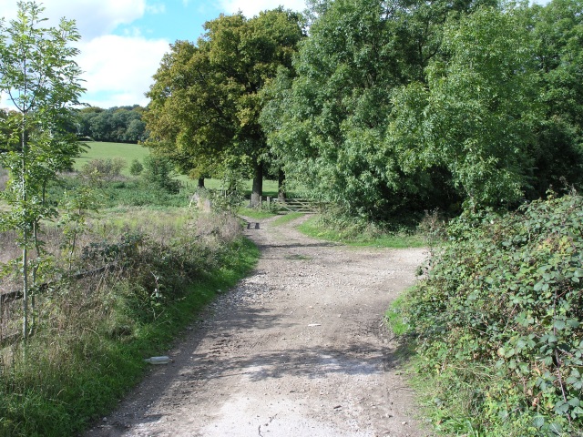
Several well-marked trails weave through the wood, catering to hikers and nature lovers of all skill levels. These paths provide an opportunity to explore the natural beauty of the area while offering stunning views of the surrounding countryside.
Armitage Wood has been carefully managed by the local authorities to preserve its natural charm and protect its delicate ecosystem. It is open to the public year-round, with ample parking and facilities available for visitors. Whether it's a leisurely stroll, a family outing, or a chance to immerse oneself in nature, Armitage Wood offers a serene and enchanting experience for all who visit.
If you have any feedback on the listing, please let us know in the comments section below.
Armitage Wood Images
Images are sourced within 2km of 51.26674/-0.020348488 or Grid Reference TQ3853. Thanks to Geograph Open Source API. All images are credited.


Armitage Wood is located at Grid Ref: TQ3853 (Lat: 51.26674, Lng: -0.020348488)
Administrative County: Surrey
District: Tandridge
Police Authority: Surrey
What 3 Words
///feast.cliff.bigger. Near Oxted, Surrey
Nearby Locations
Related Wikis

Barrow Green Court
Barrow Green Court is a Grade I listed house near Oxted, Surrey, England.The house was built in the early-17th century, with mid-18th century alterations...
Titsey Woods
Titsey Woods is a 45.3-hectare (112-acre) biological Site of Special Scientific Interest north-west of Oxted in Surrey.This site is composed of wet semi...

Woldingham and Oxted Downs
Woldingham and Oxted Downs is a 128.4-hectare (317-acre) biological Site of Special Scientific Interest east of Caterham in Surrey.This sloping site on...

All Saints Church, Oxted
All Saints Church is a Roman Catholic Parish church in Oxted, Surrey. Building work on the church started in 1913 and was delayed by World War I. Aspects...
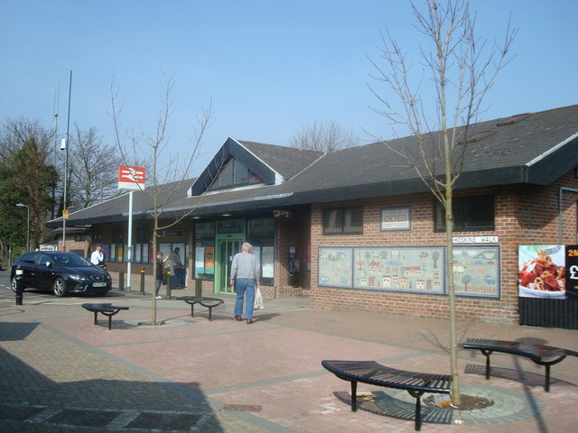
Oxted railway station
Oxted railway station is on the Oxted line in southern England, serving the commuter town of Oxted, Surrey. It is 20 miles 25 chains (20.31 miles, 32.69...
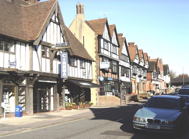
Oxted
Oxted is a town and civil parish in the Tandridge district of Surrey, England, at the foot of the North Downs. It is 9 miles (14 km) south south-east of...

Oxted School
Oxted School is a coeducational secondary school and sixth form located in the English town of Oxted, Surrey. It was opened in 1929 as the first mixed...
Godstone Rural District
Godstone Rural District was a rural district in Surrey, England from 1894 to 1974, covering an area in the south-east of the county. == Origins == The...
Nearby Amenities
Located within 500m of 51.26674,-0.020348488Have you been to Armitage Wood?
Leave your review of Armitage Wood below (or comments, questions and feedback).