Chalkpit Wood
Wood, Forest in Surrey Tandridge
England
Chalkpit Wood
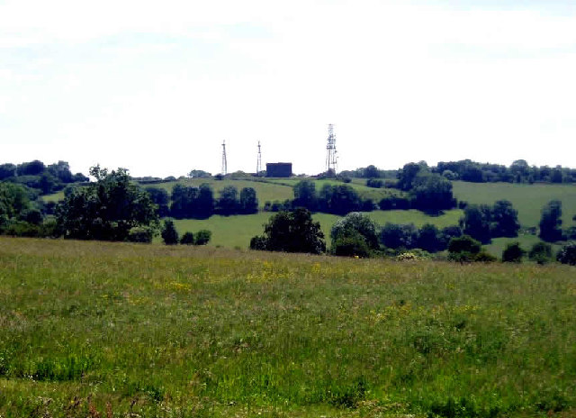
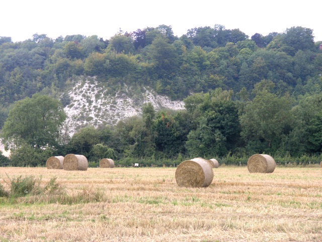
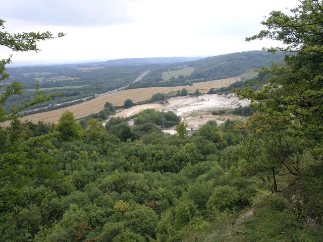
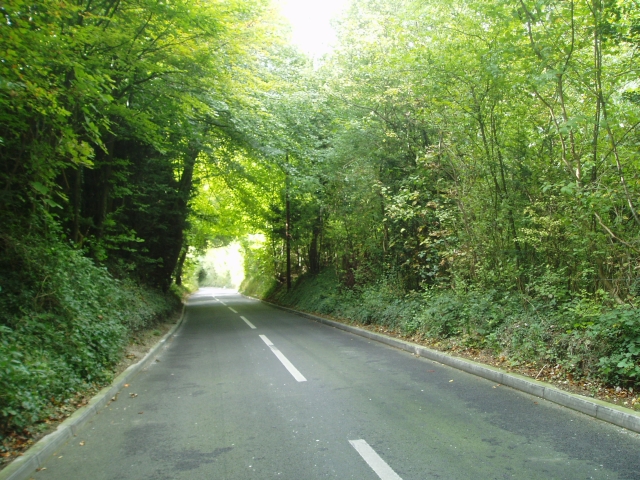
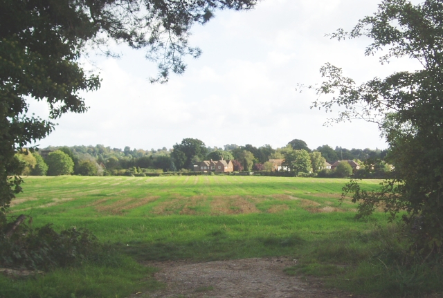
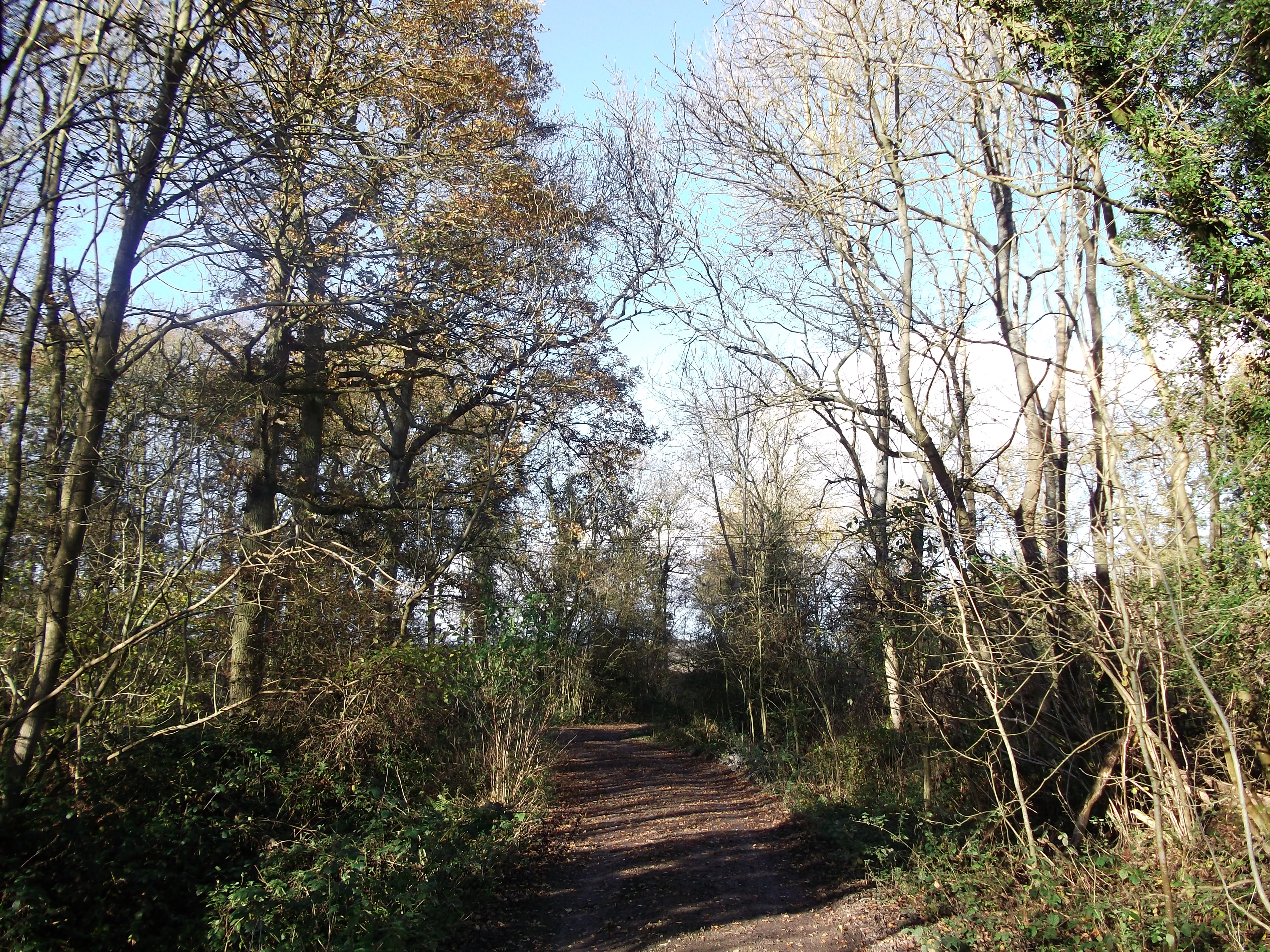
Chalkpit Wood is a beautiful woodland located in Surrey, England, known for its picturesque landscapes and diverse wildlife. Covering an area of approximately 100 hectares, it is a popular destination for nature lovers and outdoor enthusiasts.
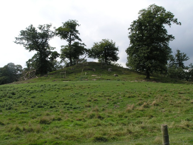
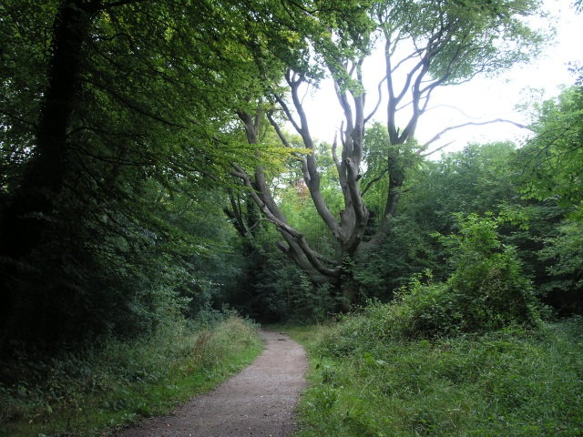
The wood is primarily composed of mixed woodland, with a variety of tree species such as oak, beech, and birch. These trees provide a dense canopy, creating a peaceful and serene atmosphere for visitors to enjoy. The forest floor is adorned with a carpet of bluebells during the spring, creating a stunning display of colors.
Chalkpit Wood is home to a wide range of wildlife, making it an ideal spot for nature enthusiasts and birdwatchers. Visitors may spot various bird species, including woodpeckers, nuthatches, and tawny owls. Small mammals such as foxes, badgers, and squirrels can also be found roaming the area.
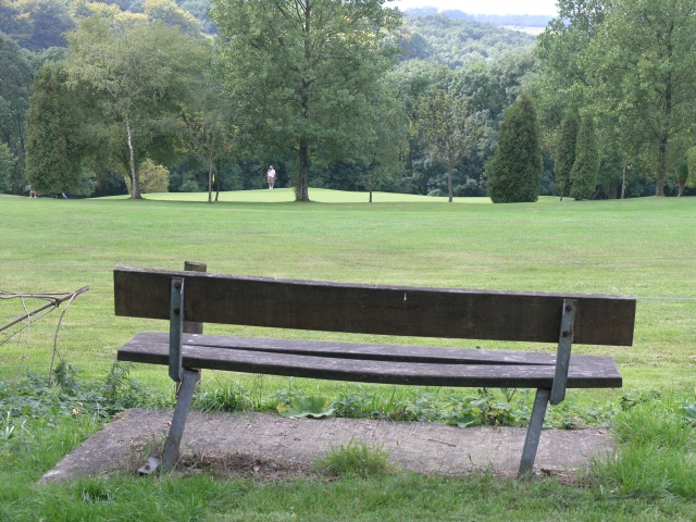
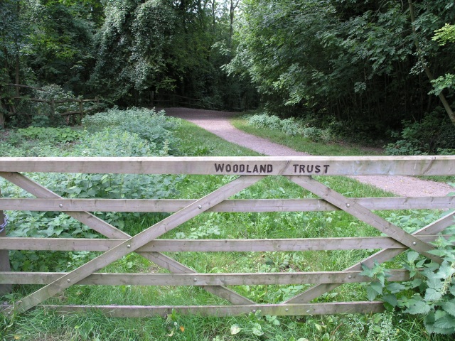
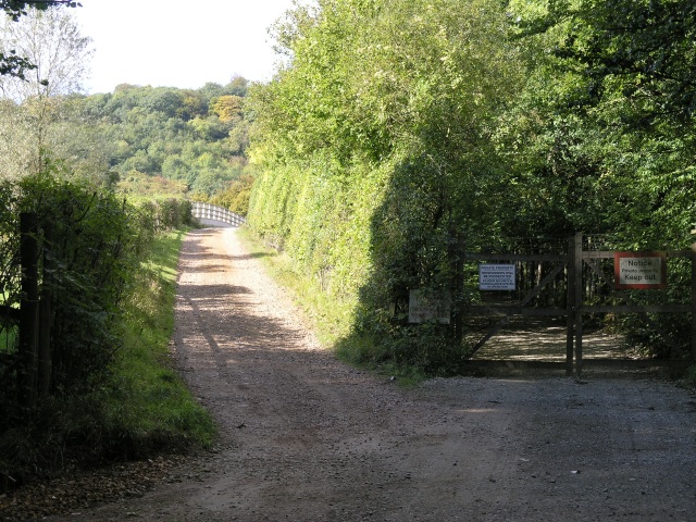
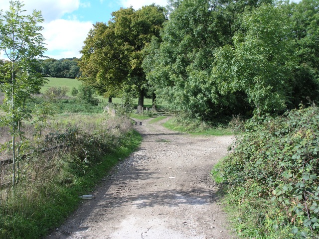
The wood is crisscrossed with a network of footpaths and trails, allowing visitors to explore its beauty at their leisure. These paths meander through the woodland, offering breathtaking views of the surrounding countryside. The wood also connects to other nearby nature reserves, providing opportunities for longer walks and exploration.
Chalkpit Wood is managed by a local conservation organization, ensuring the preservation of its natural beauty and biodiversity. The wood is open to the public throughout the year, free of charge, and offers a tranquil escape from the hustle and bustle of everyday life. Whether you are seeking a relaxing walk, a chance to observe wildlife, or simply a peaceful retreat in nature, Chalkpit Wood is a must-visit destination in Surrey.
If you have any feedback on the listing, please let us know in the comments section below.
Chalkpit Wood Images
Images are sourced within 2km of 51.267134/-0.014411164 or Grid Reference TQ3853. Thanks to Geograph Open Source API. All images are credited.

Chalkpit Wood is located at Grid Ref: TQ3853 (Lat: 51.267134, Lng: -0.014411164)
Administrative County: Surrey
District: Tandridge
Police Authority: Surrey
What 3 Words
///stand.ropes.motor. Near Oxted, Surrey
Nearby Locations
Related Wikis

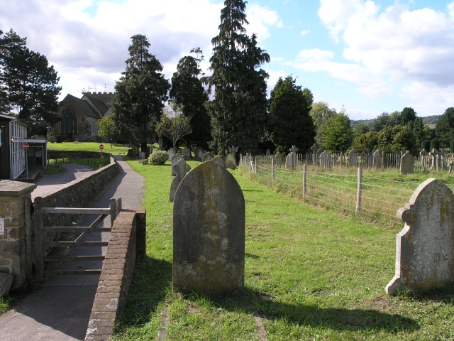
All Saints Church, Oxted
All Saints Church is a Roman Catholic Parish church in Oxted, Surrey. Building work on the church started in 1913 and was delayed by World War I. Aspects...

Barrow Green Court
Barrow Green Court is a Grade I listed house near Oxted, Surrey, England.The house was built in the early-17th century, with mid-18th century alterations...

Oxted School
Oxted School is a coeducational secondary school and sixth form located in the English town of Oxted, Surrey. It was opened in 1929 as the first mixed...
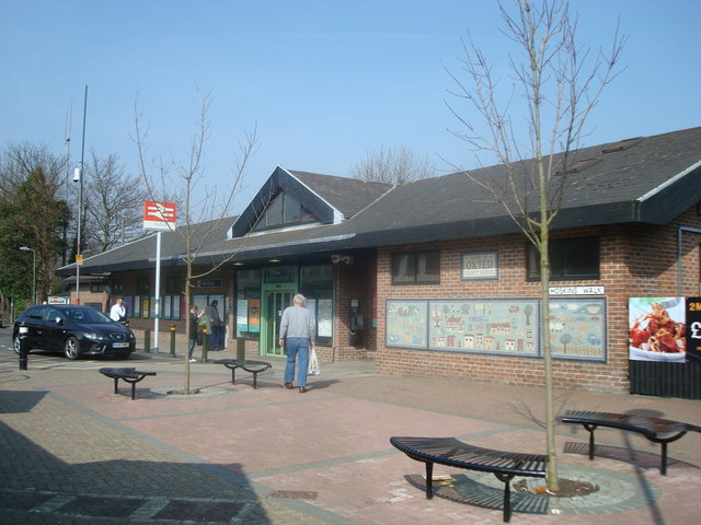
Oxted railway station
Oxted railway station is on the Oxted line in southern England, serving the commuter town of Oxted, Surrey. It is 20 miles 25 chains (20.31 miles, 32.69...
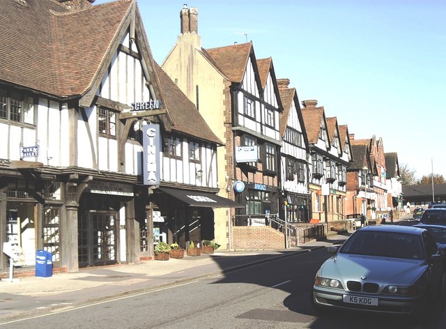
Oxted
Oxted is a town and civil parish in the Tandridge district of Surrey, England, at the foot of the North Downs. It is 9 miles (14 km) south south-east of...
Titsey Woods
Titsey Woods is a 45.3-hectare (112-acre) biological Site of Special Scientific Interest north-west of Oxted in Surrey.This site is composed of wet semi...

Tandridge District
Tandridge is a local government district in east Surrey, England. Its council is based in Oxted, although the largest settlement is Caterham; other notable...
Godstone Rural District
Godstone Rural District was a rural district in Surrey, England from 1894 to 1974, covering an area in the south-east of the county. == Origins == The...
Nearby Amenities
Located within 500m of 51.267134,-0.014411164Have you been to Chalkpit Wood?
Leave your review of Chalkpit Wood below (or comments, questions and feedback).