Hamfield Shaw
Wood, Forest in Surrey Tandridge
England
Hamfield Shaw
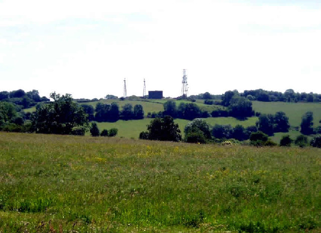
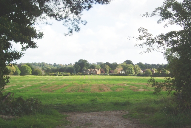
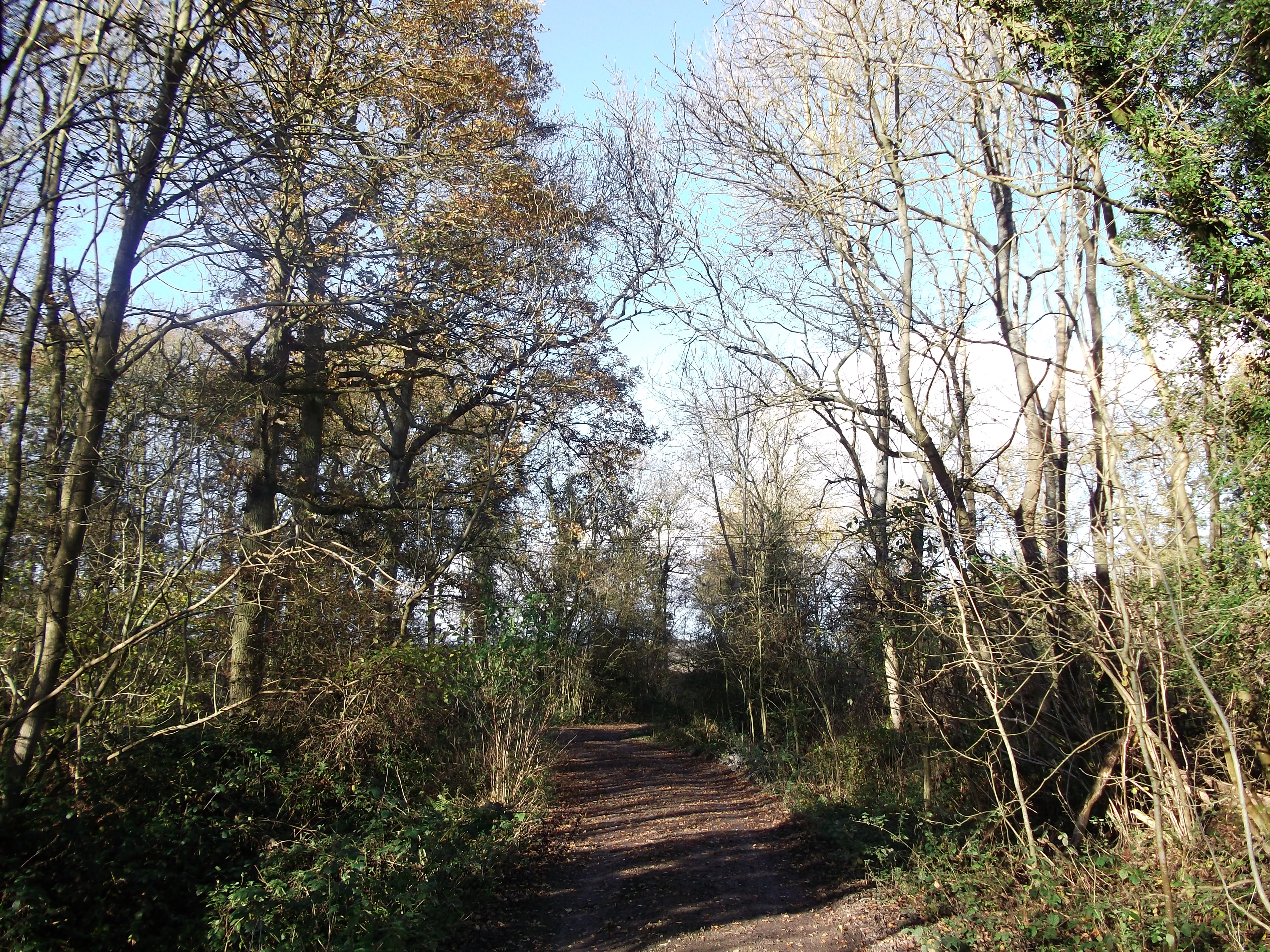
Hamfield Shaw, located in the county of Surrey, is a picturesque woodland area known for its natural beauty and tranquil atmosphere. Situated in the southeastern part of England, Hamfield Shaw is a popular destination for nature lovers and outdoor enthusiasts.
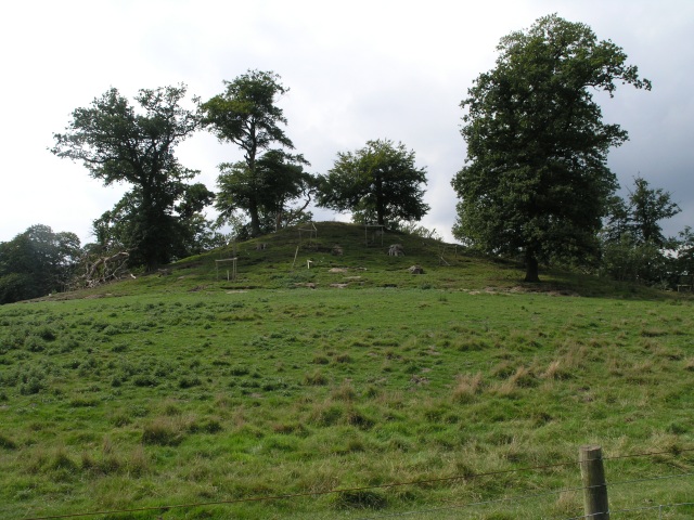
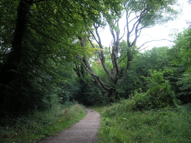
Covering an area of approximately 100 acres, this enchanting forest offers a diverse range of flora and fauna. The woodland is predominantly composed of native tree species, such as oak, beech, and birch, which create a dense canopy providing shade and shelter for a variety of wildlife.
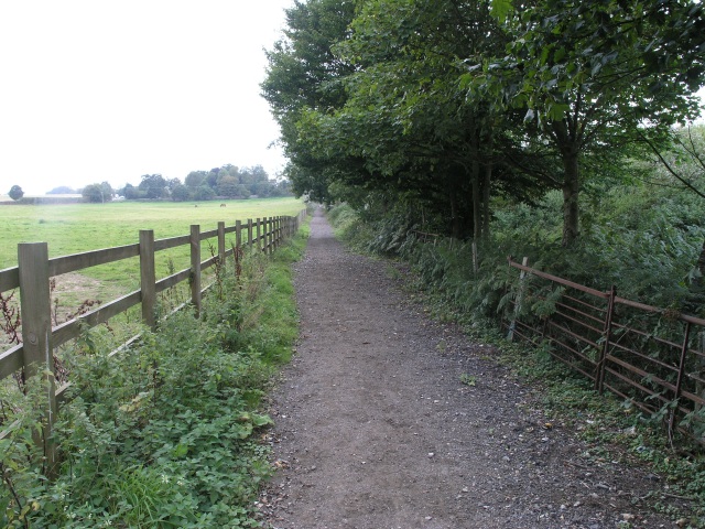
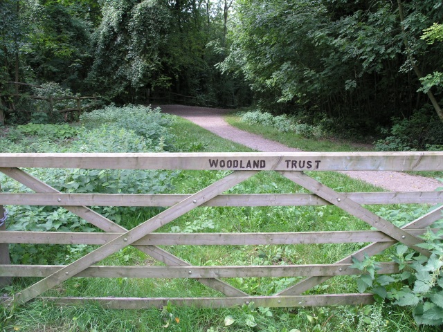
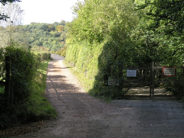
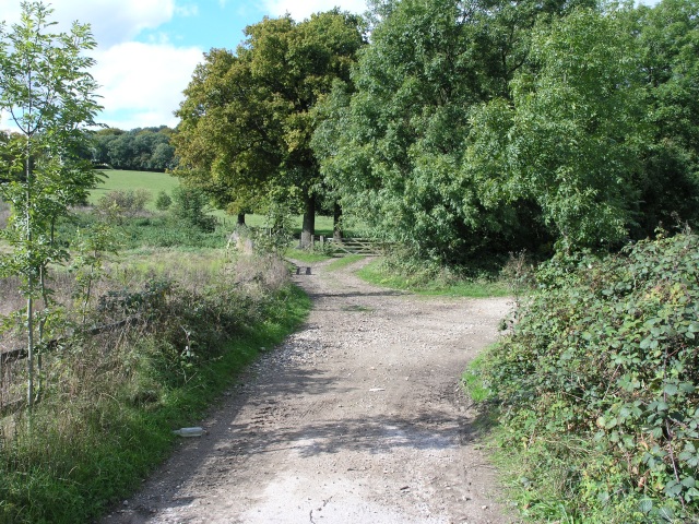
Hamfield Shaw is crisscrossed by several walking trails, allowing visitors to explore the forest's hidden gems and discover its natural wonders. These trails lead visitors through a network of ancient trees, babbling brooks, and peaceful meadows, providing a serene escape from the hustle and bustle of everyday life.
The forest is home to a wide array of wildlife, including deer, squirrels, rabbits, and a multitude of bird species. Birdwatchers will especially enjoy their visit to Hamfield Shaw, as it is a haven for many woodland birds, such as woodpeckers, owls, and various songbirds.
The management of Hamfield Shaw focuses on preserving its natural habitat and promoting biodiversity. Regular conservation efforts, such as tree planting and wildlife monitoring, are conducted to ensure the forest remains a thriving ecosystem for future generations to enjoy.
Overall, Hamfield Shaw is a captivating woodland area that offers a peaceful retreat for those seeking solace in nature. Its stunning landscapes, diverse wildlife, and well-maintained trails make it a must-visit destination for anyone interested in exploring the natural beauty that Surrey has to offer.
If you have any feedback on the listing, please let us know in the comments section below.
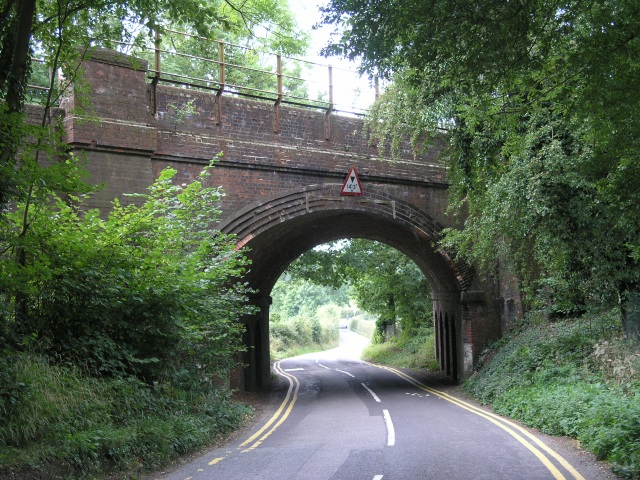
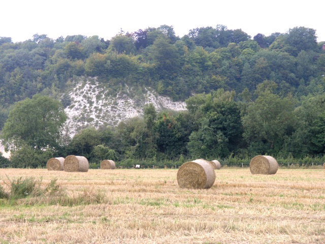
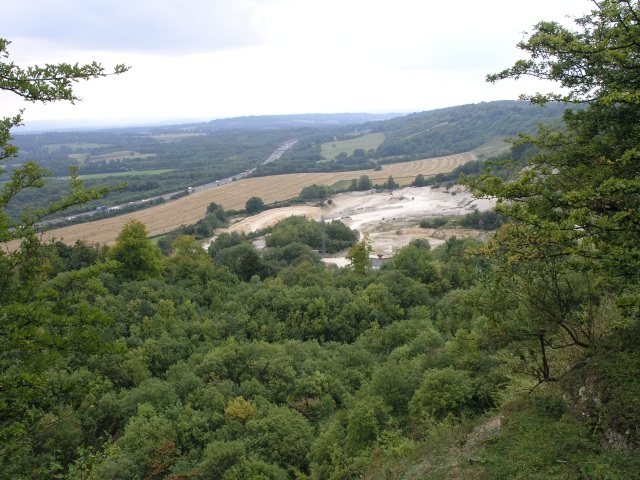
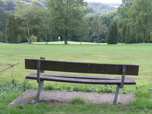
Hamfield Shaw Images
Images are sourced within 2km of 51.265463/-0.018740564 or Grid Reference TQ3853. Thanks to Geograph Open Source API. All images are credited.


Hamfield Shaw is located at Grid Ref: TQ3853 (Lat: 51.265463, Lng: -0.018740564)
Administrative County: Surrey
District: Tandridge
Police Authority: Surrey
What 3 Words
///random.eagles.games. Near Oxted, Surrey
Nearby Locations
Related Wikis

Barrow Green Court
Barrow Green Court is a Grade I listed house near Oxted, Surrey, England.The house was built in the early-17th century, with mid-18th century alterations...

All Saints Church, Oxted
All Saints Church is a Roman Catholic Parish church in Oxted, Surrey. Building work on the church started in 1913 and was delayed by World War I. Aspects...
Titsey Woods
Titsey Woods is a 45.3-hectare (112-acre) biological Site of Special Scientific Interest north-west of Oxted in Surrey.This site is composed of wet semi...
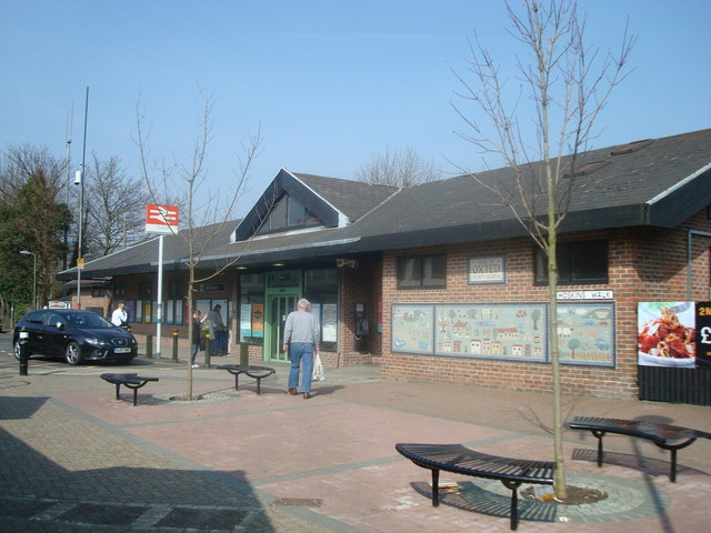
Oxted railway station
Oxted railway station is on the Oxted line in southern England, serving the commuter town of Oxted, Surrey. It is 20 miles 25 chains (20.31 miles, 32.69...
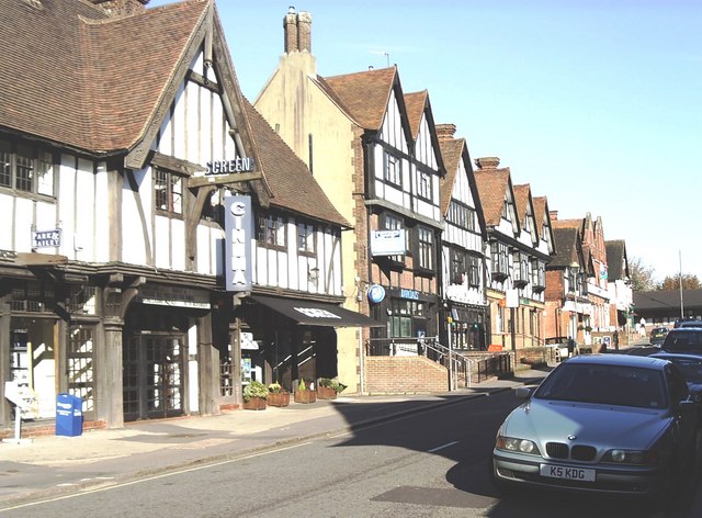
Oxted
Oxted is a town and civil parish in the Tandridge district of Surrey, England, at the foot of the North Downs. It is 9 miles (14 km) south south-east of...

Oxted School
Oxted School is a coeducational secondary school and sixth form located in the English town of Oxted, Surrey. It was opened in 1929 as the first mixed...

Woldingham and Oxted Downs
Woldingham and Oxted Downs is a 128.4-hectare (317-acre) biological Site of Special Scientific Interest east of Caterham in Surrey.This sloping site on...
Godstone Rural District
Godstone Rural District was a rural district in Surrey, England from 1894 to 1974, covering an area in the south-east of the county. == Origins == The...
Nearby Amenities
Located within 500m of 51.265463,-0.018740564Have you been to Hamfield Shaw?
Leave your review of Hamfield Shaw below (or comments, questions and feedback).