Southlands Wood
Wood, Forest in Surrey Tandridge
England
Southlands Wood

Southlands Wood is a picturesque woodland located in Surrey, England. It covers an area of approximately 300 acres and is situated in the southeastern part of the county. The wood is part of the larger Southlands Estate and is known for its diverse flora and fauna.
The woodland consists mainly of oak and beech trees, which provide a stunning backdrop throughout the year. In spring, the forest floor is carpeted with bluebells, creating a mesmerizing sight. The wood is also home to a variety of wildlife, including deer, foxes, and a wide range of bird species.
Southlands Wood is a popular destination for nature lovers and hikers. There are several well-maintained trails that wind through the forest, allowing visitors to explore its natural beauty. These trails offer breathtaking views of the surrounding countryside and provide opportunities for photography and birdwatching.
The wood is managed by the Southlands Estate and is open to the public for recreational activities. It is an ideal location for family outings, picnics, and leisurely walks. There are also designated areas for camping and barbecues, making it a perfect spot for outdoor enthusiasts.
Southlands Wood is easily accessible by car and public transport, with parking facilities available nearby. It is a peaceful retreat away from the hustle and bustle of everyday life, offering visitors a chance to reconnect with nature and enjoy the tranquility of the Surrey countryside.
If you have any feedback on the listing, please let us know in the comments section below.
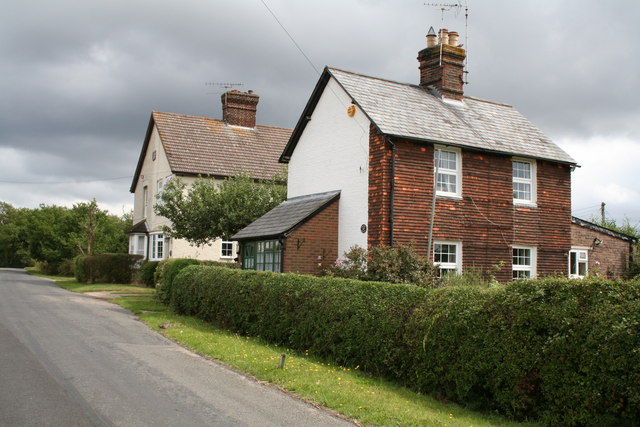
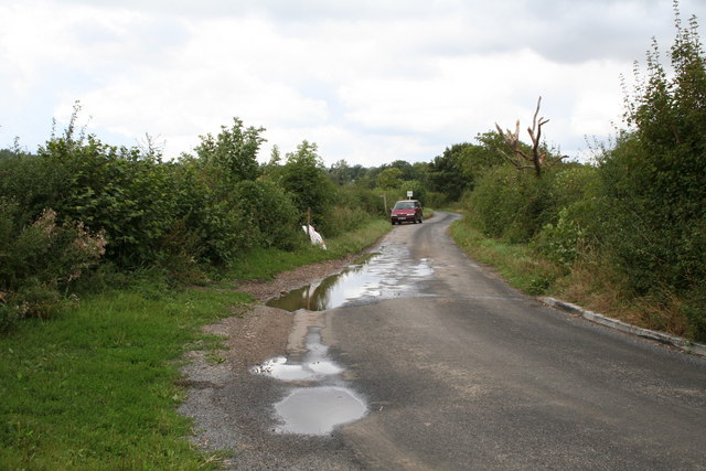
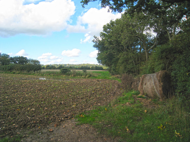
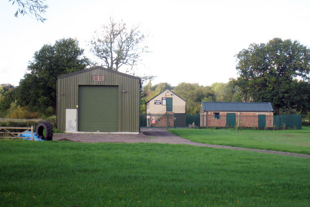
Southlands Wood Images
Images are sourced within 2km of 51.233536/-0.02181701 or Grid Reference TQ3850. Thanks to Geograph Open Source API. All images are credited.


Southlands Wood is located at Grid Ref: TQ3850 (Lat: 51.233536, Lng: -0.02181701)
Administrative County: Surrey
District: Tandridge
Police Authority: Surrey
What 3 Words
///means.vocab.risk. Near Oxted, Surrey
Nearby Locations
Related Wikis

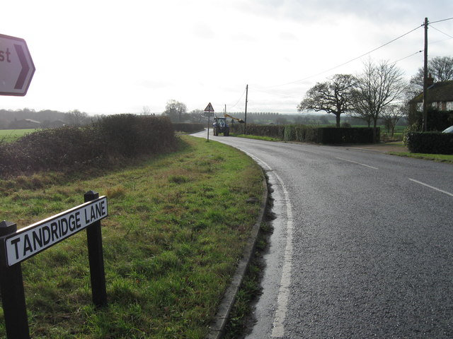
Tandridge
Tandridge is a village and civil parish in the Tandridge District, in the county of Surrey, England. Its nucleus is on a rise of the Greensand Ridge between...
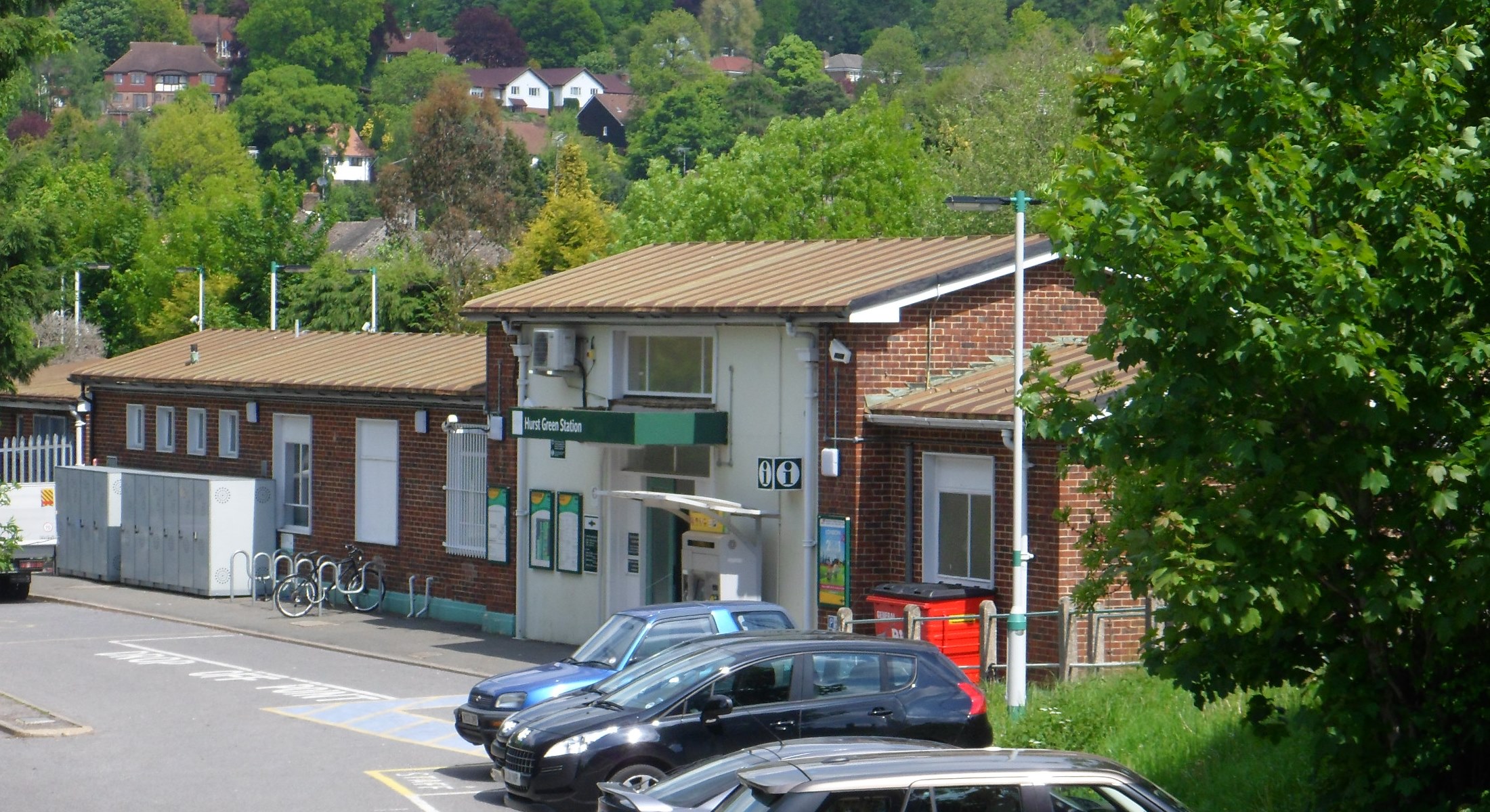
Hurst Green railway station
Hurst Green railway station is on the Oxted line in southern England and serves the Hurst Green neighbourhood of Oxted in Surrey. It is 21 miles 20 chains...

Godstone Ponds
Godstone Ponds is a 13.6-hectare (34-acre) biological Site of Special Scientific Interest in Godstone in Surrey. Bay Pond is an educational nature reserve...

Godstone railway station
Godstone railway station is on the Redhill to Tonbridge Line and serves Godstone in Surrey, England. It is 28 miles 13 chains (28.16 miles, 45.32 km) measured...

Tandridge Hundred
Tandridge Hundred was a hundred in Surrey, England. It comprised areas in the Tandridge District, the easternmost part of the county, bordering Kent, West...

Hazelwood School
Hazelwood School is a private preparatory school in Limpsfield, Surrey, England. The school was established in 1890 as a boarding school for boys aged...

Crowhurst Yew
The Crowhurst Yew is a yew tree in the churchyard of St George's Church in Crowhurst, Surrey, England. It is thought to be about 4,000 years old. Its girth...
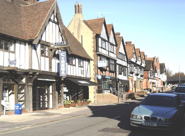
Oxted
Oxted is a town and civil parish in the Tandridge district of Surrey, England, at the foot of the North Downs. It is 9 miles (14 km) south south-east of...
Nearby Amenities
Located within 500m of 51.233536,-0.02181701Have you been to Southlands Wood?
Leave your review of Southlands Wood below (or comments, questions and feedback).