Priory Shaw
Wood, Forest in Surrey Tandridge
England
Priory Shaw
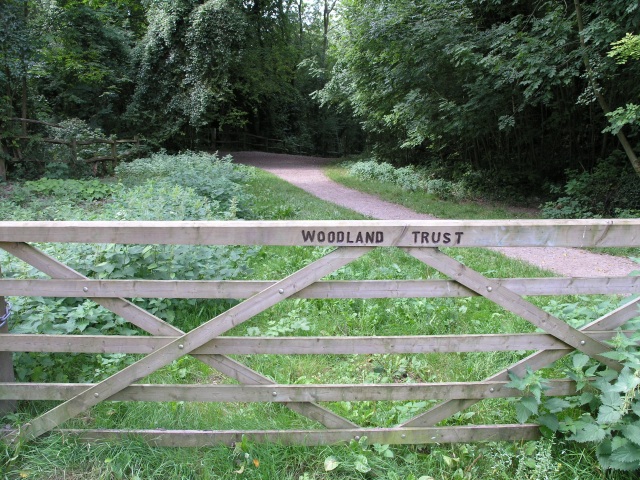
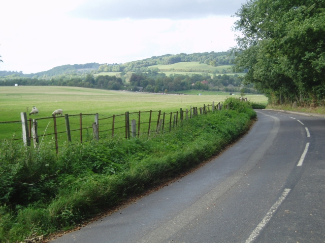
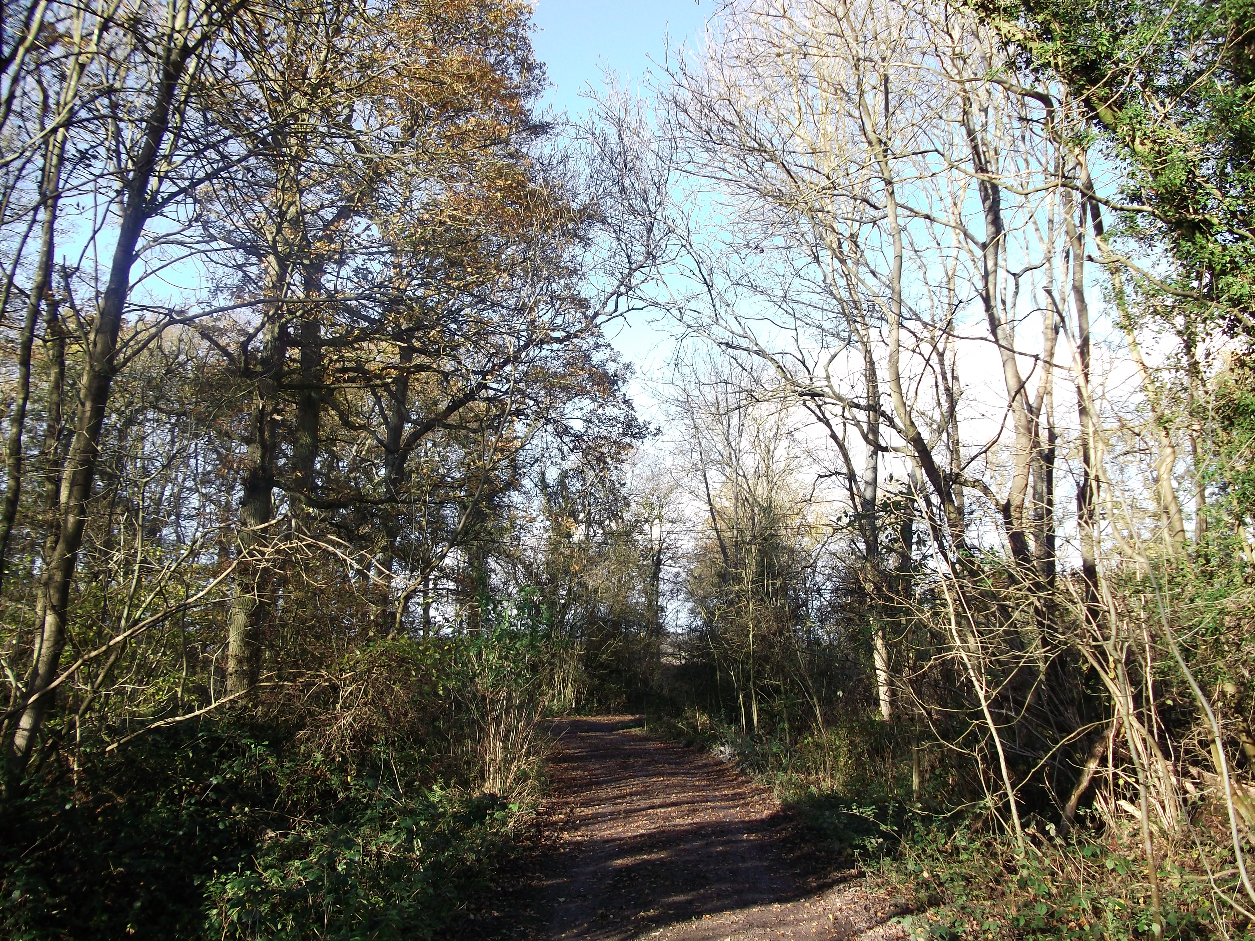
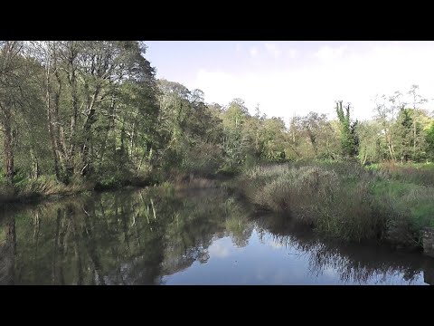
Priory Shaw is a charming woodland located in Surrey, England. Situated near the town of Wood, the forest covers an area of approximately 100 acres and is a popular destination for nature enthusiasts and outdoor adventurers alike.
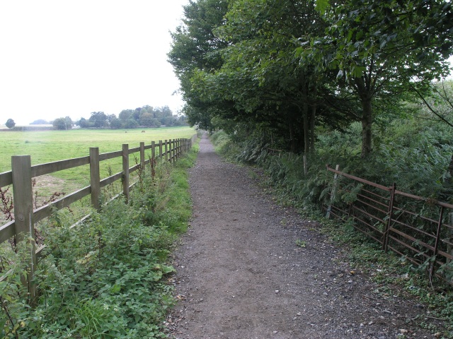
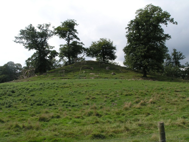
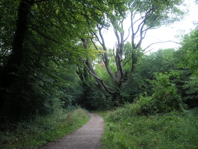
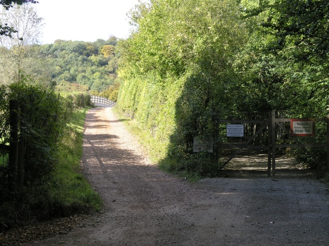
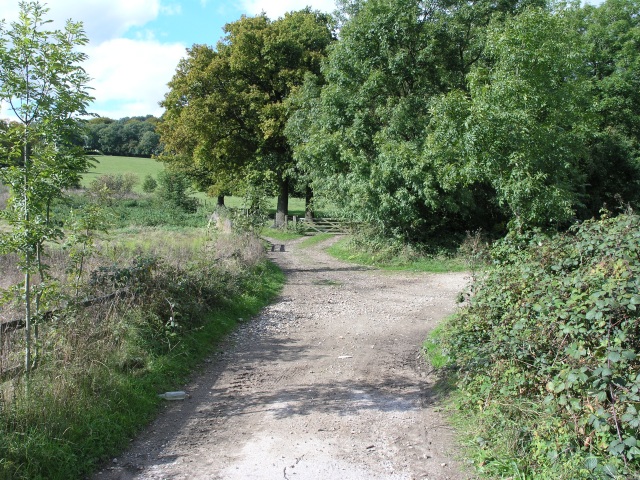
The woodland is characterized by its dense canopy of towering trees, predominantly consisting of oak, beech, and birch. The rich biodiversity of the area provides a habitat for various wildlife species, including deer, foxes, squirrels, and an array of bird species. Visitors can often spot these animals while exploring the numerous walking trails that traverse the forest.
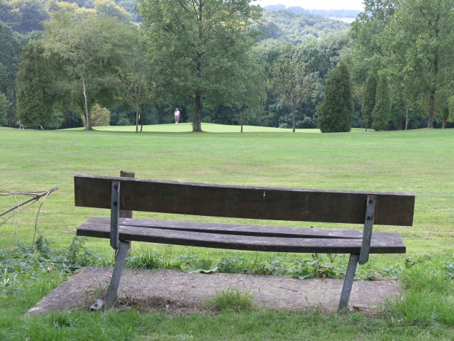
Priory Shaw is renowned for its natural beauty and tranquil atmosphere. The forest offers a peaceful escape from the hustle and bustle of everyday life, attracting visitors seeking solitude and relaxation. The stunning scenery makes it an ideal spot for photography and nature appreciation.
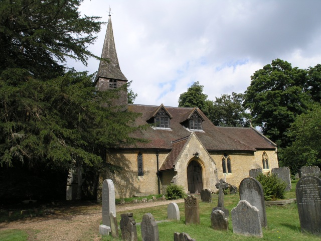
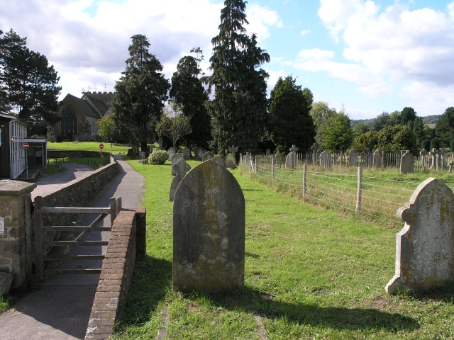
In addition to its natural splendor, Priory Shaw also holds historical significance. The forest is home to the ruins of an ancient priory, dating back to the medieval period. These remains serve as a reminder of the area's past and add an element of intrigue to the woodland.
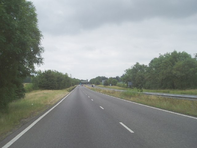
The forest is easily accessible, with ample parking facilities and well-maintained paths throughout. It is open to the public year-round, and admission is free. Priory Shaw is a cherished gem in the Surrey countryside, offering a serene retreat for those seeking a connection with nature and a glimpse into the region's history.
If you have any feedback on the listing, please let us know in the comments section below.
Priory Shaw Images
Images are sourced within 2km of 51.256339/-0.032819644 or Grid Reference TQ3752. Thanks to Geograph Open Source API. All images are credited.

Priory Shaw is located at Grid Ref: TQ3752 (Lat: 51.256339, Lng: -0.032819644)
Administrative County: Surrey
District: Tandridge
Police Authority: Surrey
What 3 Words
///blank.aura.verse. Near Oxted, Surrey
Nearby Locations
Related Wikis

Barrow Green Court
Barrow Green Court is a Grade I listed house near Oxted, Surrey, England.The house was built in the early-17th century, with mid-18th century alterations...

Tandridge Hundred
Tandridge Hundred was a hundred in Surrey, England. It comprised areas in the Tandridge District, the easternmost part of the county, bordering Kent, West...
Titsey Woods
Titsey Woods is a 45.3-hectare (112-acre) biological Site of Special Scientific Interest north-west of Oxted in Surrey.This site is composed of wet semi...

Woldingham and Oxted Downs
Woldingham and Oxted Downs is a 128.4-hectare (317-acre) biological Site of Special Scientific Interest east of Caterham in Surrey.This sloping site on...
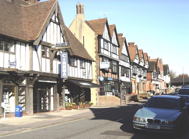
Oxted
Oxted is a town and civil parish in the Tandridge district of Surrey, England, at the foot of the North Downs. It is 9 miles (14 km) south south-east of...

Tandridge
Tandridge is a village and civil parish in the Tandridge District, in the county of Surrey, England. Its nucleus is on a rise of the Greensand Ridge between...
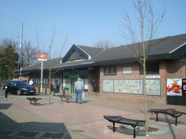
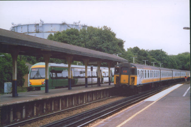
Oxted railway station
Oxted railway station is on the Oxted line in southern England, serving the commuter town of Oxted, Surrey. It is 20 miles 25 chains (20.31 miles, 32.69...

A25 road
The A25 road is an east–west main road in the South-East of England. Its carries traffic east from Guildford, Surrey, eastward through Surrey and into...
Related Videos

Marden Park And Greensand Way The North Downs | | 🇬🇧 Hiking UK | England Drone 4k | Saturday Walk
Close to London, this walk combines stretches of both The North Downs Way, and the Greensand Way. Main Walk: 16¾ km (10.4 ...

The Secrets of North Downs Revealed: Explore Marden Park and Greensand Way
Join us on a thrilling hike through Marden Park and Greensand Way in the North Downs of England, and experience the ...
Country Walking: Oxted Circular, Surrey. 18/11/22
A very decent offering from 'Country Walking' magazine. This one being a 9 mile circular of Oxted, Surrey, on a pleasant autumnal ...
Nearby Amenities
Located within 500m of 51.256339,-0.032819644Have you been to Priory Shaw?
Leave your review of Priory Shaw below (or comments, questions and feedback).