School Plantation
Wood, Forest in Surrey Tandridge
England
School Plantation
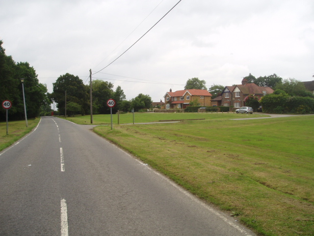
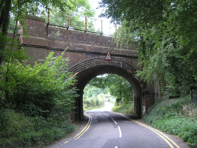
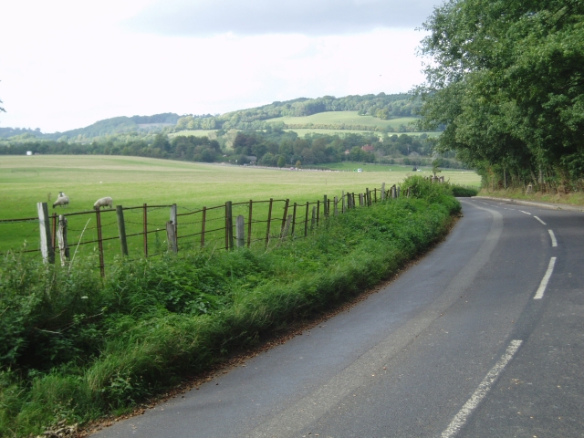
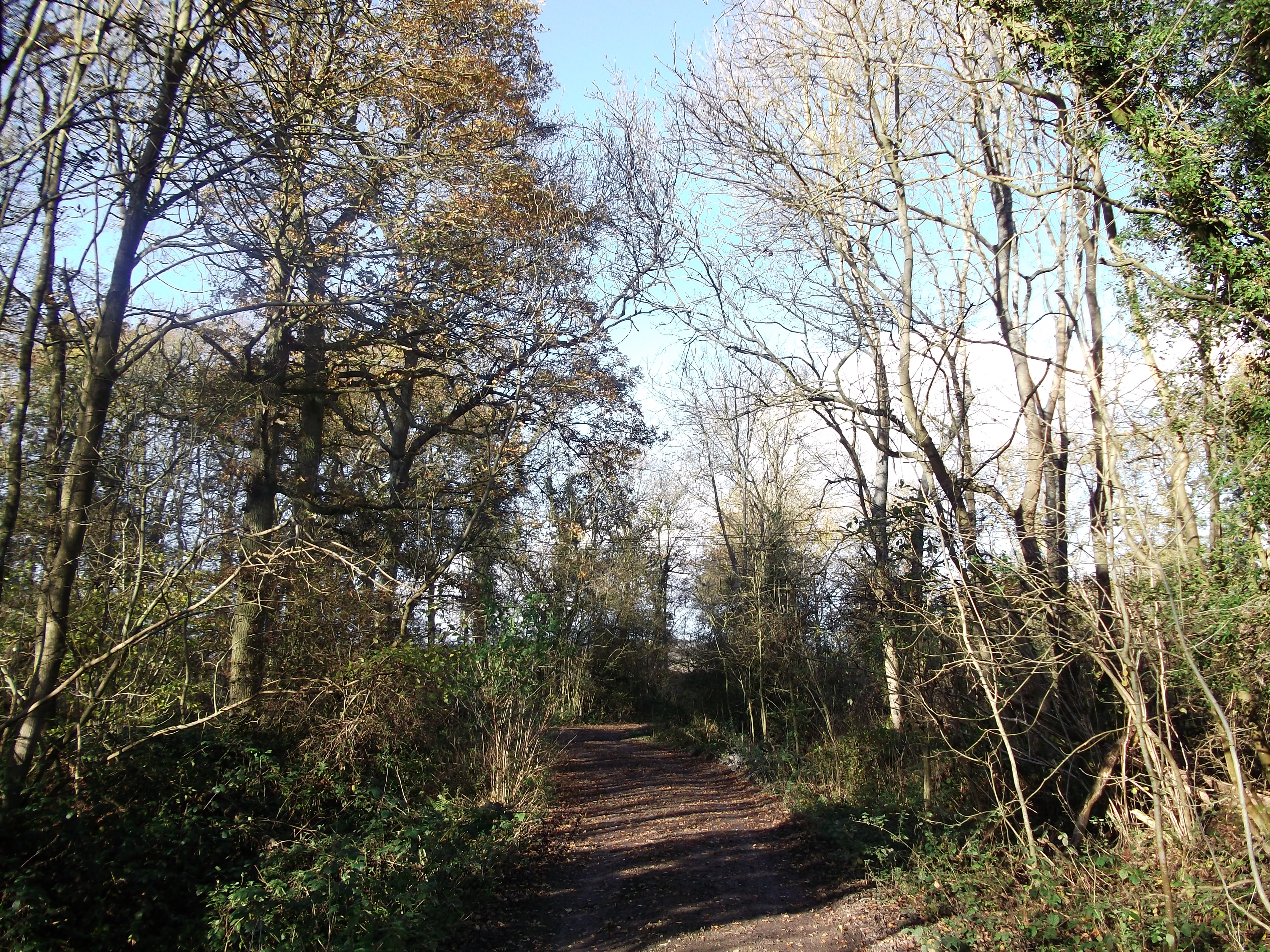
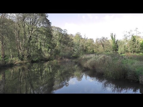
School Plantation, Surrey, also known as Wood or Forest, is a picturesque area located in the county of Surrey, England. This enchanting plantation is nestled amidst the stunning landscape of the Surrey Hills Area of Outstanding Natural Beauty.
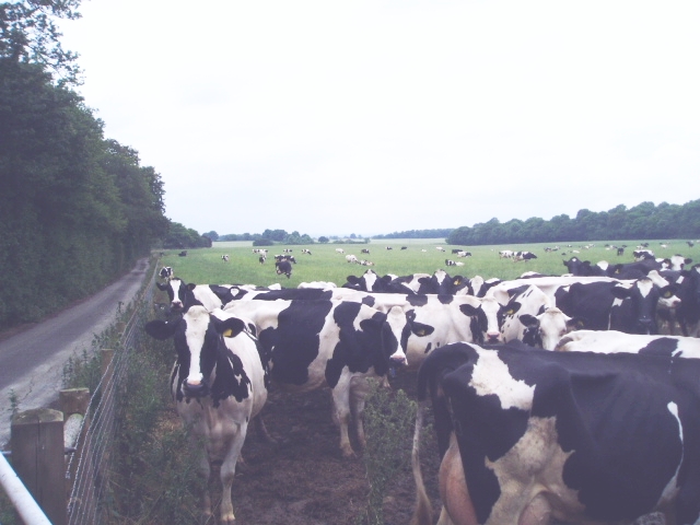
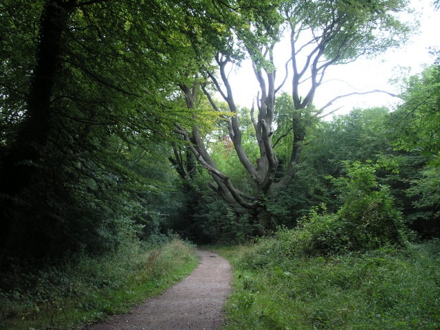
Covering an expansive area, School Plantation is characterized by its lush greenery and dense woodlands, which are home to a diverse range of flora and fauna. The woodland is primarily composed of native tree species such as oak, beech, and birch, creating a rich and vibrant ecosystem.
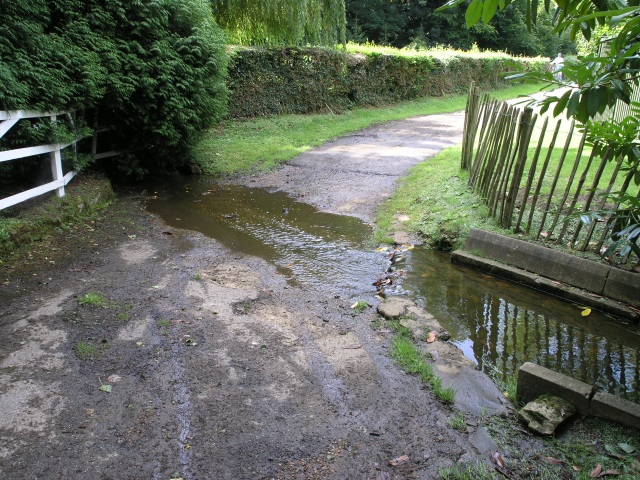
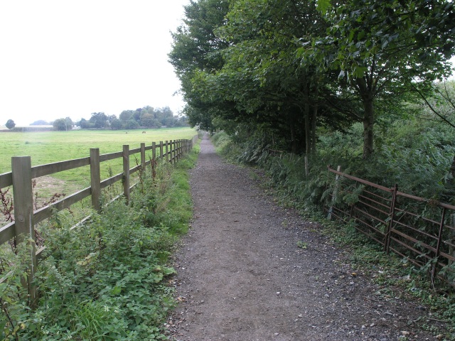
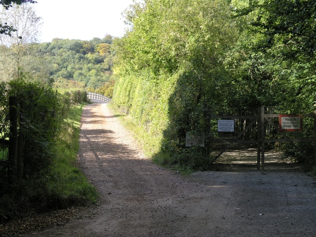
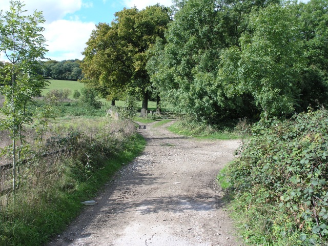
The plantation offers a tranquil escape from the bustling city life, attracting nature enthusiasts, hikers, and families looking to explore the great outdoors. Numerous well-maintained walking trails wind through the woods, providing visitors with the opportunity to immerse themselves in the natural beauty of the area. These trails vary in difficulty, catering to both novice and experienced hikers.
School Plantation also boasts several picnic areas, where visitors can relax and enjoy a meal surrounded by nature. The plantation is a popular spot for birdwatching, offering glimpses of various bird species, including woodpeckers, owls, and finches.
Additionally, the plantation serves as an educational resource, providing opportunities for school children to learn about the local ecosystem and the importance of conservation. Guided tours and educational programs are often organized to enhance the learning experience.
Overall, School Plantation, Surrey, is a haven for nature lovers, offering a serene and captivating environment to explore and appreciate the wonders of the natural world.
If you have any feedback on the listing, please let us know in the comments section below.
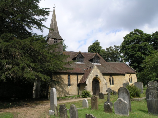
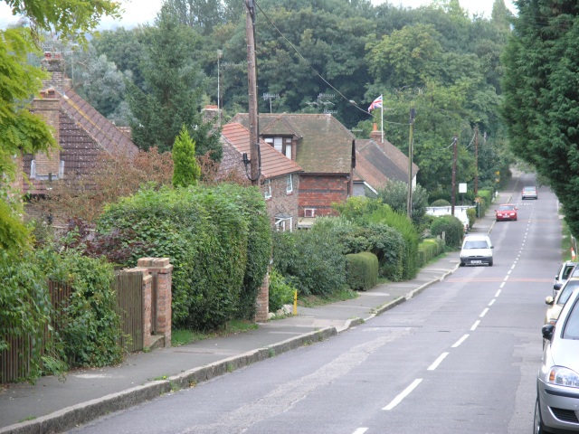
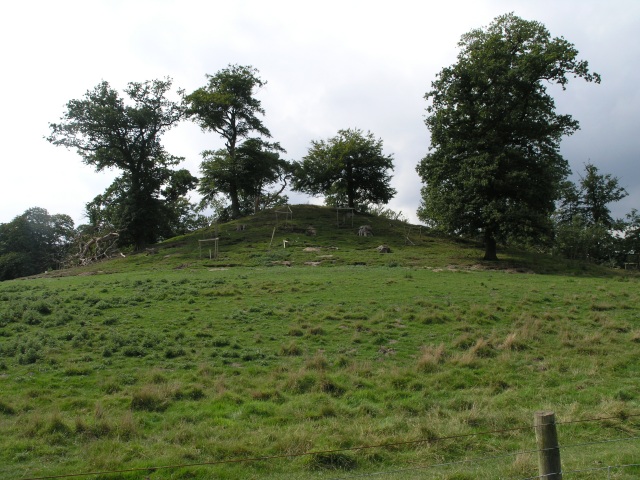
School Plantation Images
Images are sourced within 2km of 51.250766/-0.03189678 or Grid Reference TQ3752. Thanks to Geograph Open Source API. All images are credited.

School Plantation is located at Grid Ref: TQ3752 (Lat: 51.250766, Lng: -0.03189678)
Administrative County: Surrey
District: Tandridge
Police Authority: Surrey
What 3 Words
///guess.safe.whites. Near Oxted, Surrey
Nearby Locations
Related Wikis

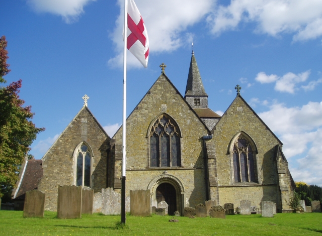
Barrow Green Court
Barrow Green Court is a Grade I listed house near Oxted, Surrey, England.The house was built in the early-17th century, with mid-18th century alterations...

Tandridge Hundred
Tandridge Hundred was a hundred in Surrey, England. It comprised areas in the Tandridge District, the easternmost part of the county, bordering Kent, West...

Tandridge
Tandridge is a village and civil parish in the Tandridge District, in the county of Surrey, England. Its nucleus is on a rise of the Greensand Ridge between...
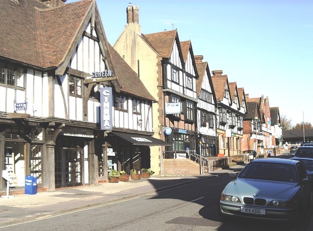
Oxted
Oxted is a town and civil parish in the Tandridge district of Surrey, England, at the foot of the North Downs. It is 9 miles (14 km) south south-east of...

A25 road
The A25 road is an east–west main road in the South-East of England. Its carries traffic east from Guildford, Surrey, eastward through Surrey and into...

Godstone Ponds
Godstone Ponds is a 13.6-hectare (34-acre) biological Site of Special Scientific Interest in Godstone in Surrey. Bay Pond is an educational nature reserve...
Titsey Woods
Titsey Woods is a 45.3-hectare (112-acre) biological Site of Special Scientific Interest north-west of Oxted in Surrey.This site is composed of wet semi...
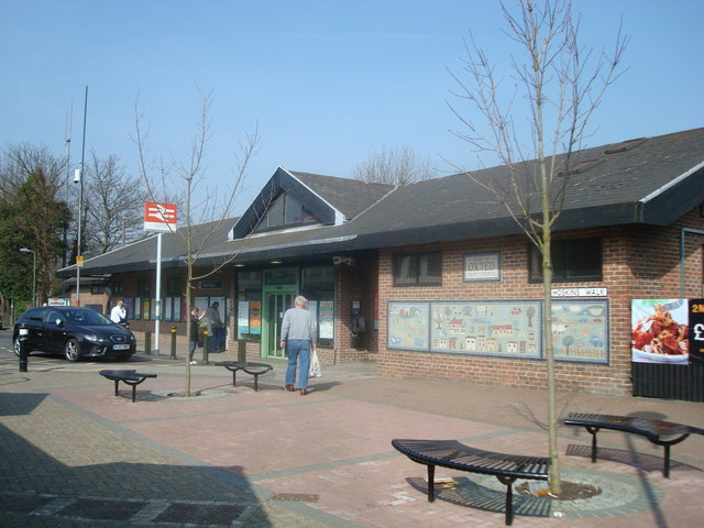
Oxted railway station
Oxted railway station is on the Oxted line in southern England, serving the commuter town of Oxted, Surrey. It is 20 miles 25 chains (20.31 miles, 32.69...
Related Videos

The Secrets of North Downs Revealed: Explore Marden Park and Greensand Way
Join us on a thrilling hike through Marden Park and Greensand Way in the North Downs of England, and experience the ...

Marden Park And Greensand Way The North Downs | | 🇬🇧 Hiking UK | England Drone 4k | Saturday Walk
Close to London, this walk combines stretches of both The North Downs Way, and the Greensand Way. Main Walk: 16¾ km (10.4 ...
Country Walking: Oxted Circular, Surrey. 18/11/22
A very decent offering from 'Country Walking' magazine. This one being a 9 mile circular of Oxted, Surrey, on a pleasant autumnal ...
Nearby Amenities
Located within 500m of 51.250766,-0.03189678Have you been to School Plantation?
Leave your review of School Plantation below (or comments, questions and feedback).