Blindwell's Holt

Wood, Forest in Lincolnshire East Lindsey

England

Blindwell's Holt

St Edith's Church, North Reston This small community's church is well hidden to travellers on the A157.
St Edith's Church, North Reston Credit: Brian Westlake

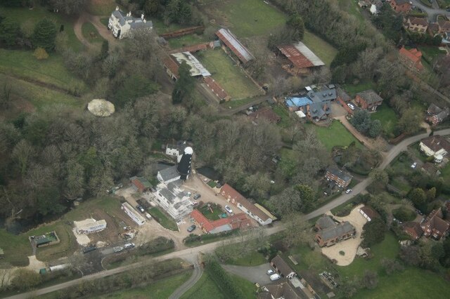
Blindwell's Holt is a stunning woodland area located in Lincolnshire, England. Situated near the village of Wood, this forested region is a true natural gem, offering visitors a tranquil and picturesque experience.

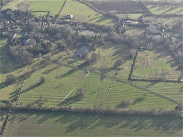
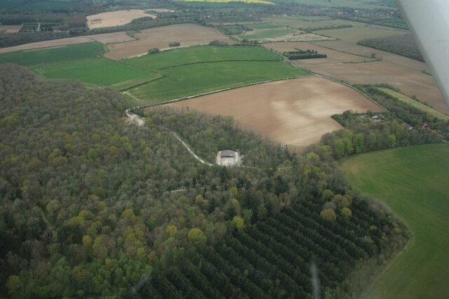
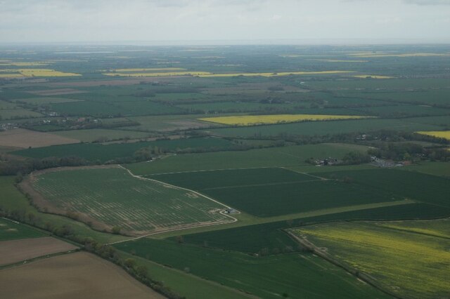
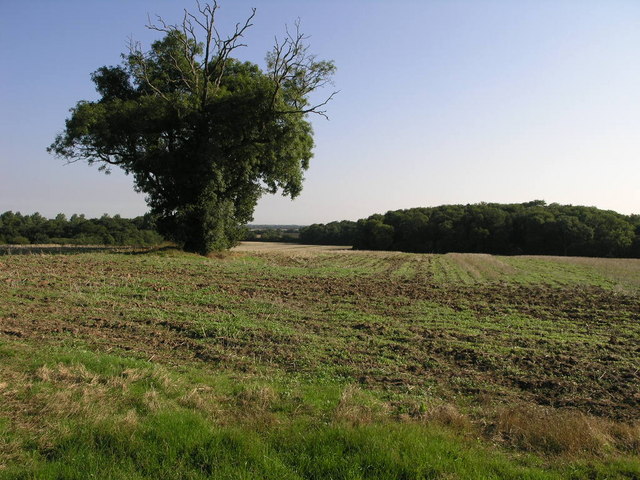
Covering approximately 500 acres, Blindwell's Holt is characterized by its dense and diverse tree population, featuring a mix of deciduous and coniferous species. The forest is predominantly composed of oak, beech, and birch trees, creating a beautiful canopy that provides shade and shelter for various flora and fauna.

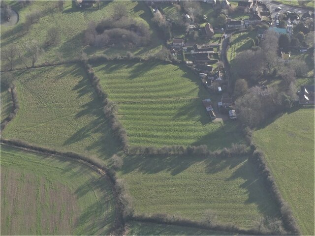
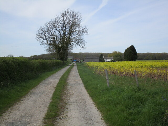
The woodland is crisscrossed by a network of walking trails, offering visitors the opportunity to explore its enchanting beauty. These paths wind through the forest, allowing nature enthusiasts to immerse themselves in the peaceful ambiance of Blindwell's Holt. Along the way, visitors will encounter an array of wildlife, including deer, squirrels, and a variety of bird species.

Blindwell's Holt also boasts a rich history, with evidence of human habitation dating back centuries. The area was once utilized for timber production, and remnants of old sawmills can still be found within the woodland. Furthermore, the forest has played a role in local folklore and legends, with tales of mythical creatures and hidden treasures adding an air of mystique to the surroundings.

Whether you are seeking a peaceful escape into nature, an opportunity for wildlife spotting, or a chance to explore the historical significance of the area, Blindwell's Holt offers a truly captivating experience for all who visit.

If you have any feedback on the listing, please let us know in the comments section below.

Blindwell's Holt Images

Images are sourced within 2km of 53.329852/0.062351344 or Grid Reference TF3783. Thanks to Geograph Open Source API. All images are credited.

St Edith's Church, North Reston This small community's church is well hidden to travellers on the A157.
St Edith's Church, North Reston
This small community's church is well hidden to travellers on the A157.
Cut Mark: North Reston, St Edith's Church Cut bench mark on the east angle of the north-east face.  See <a title="https://www.geograph.org.uk/photo/7004346" href="https://www.geograph.org.uk/photo/7004346">Link</a> for a wider view and <span class="nowrap"><a title="https://www.bench-marks.org.uk/bm158426" rel="nofollow ugc noopener" href="https://www.bench-marks.org.uk/bm158426">Link</a><img style="margin-left:2px;" alt="External link" title="External link - shift click to open in new window" src="https://s1.geograph.org.uk/img/external.png" width="10" height="10"/></span> for details.
Cut Mark: North Reston, St Edith's Church
Cut bench mark on the east angle of the north-east face. See Link for a wider view and LinkExternal link for details.
The east end of St Edith's church There is a cut bench mark on the east angle of the north-east face, hidden by the fence.  See <a title="https://www.geograph.org.uk/photo/7004345" href="https://www.geograph.org.uk/photo/7004345">Link</a> for a closer view and <span class="nowrap"><a title="https://www.bench-marks.org.uk/bm158426" rel="nofollow ugc noopener" href="https://www.bench-marks.org.uk/bm158426">Link</a><img style="margin-left:2px;" alt="External link" title="External link - shift click to open in new window" src="https://s1.geograph.org.uk/img/external.png" width="10" height="10"/></span> for details.
The east end of St Edith's church
There is a cut bench mark on the east angle of the north-east face, hidden by the fence. See Link for a closer view and LinkExternal link for details.
Legbourne Priory site and ridge and furrow: aerial 2022 Founded as a Cistercian nunnery: <span class="nowrap"><a title="https://www.heritagegateway.org.uk/Gateway/Results_Single.aspx?uid=MLI43601&resourceID=1006" rel="nofollow ugc noopener" href="https://www.heritagegateway.org.uk/Gateway/Results_Single.aspx?uid=MLI43601&resourceID=1006">Link</a><img style="margin-left:2px;" alt="External link" title="External link - shift click to open in new window" src="https://s1.geograph.org.uk/img/external.png" width="10" height="10"/></span>

Ridge and furrow: see <span class="nowrap"><a title="https://www.heritagegateway.org.uk/Gateway/Results_Single.aspx?uid=05c5dd4d-ce79-4bc9-925a-6bd9a36feaed&resourceID=19191" rel="nofollow ugc noopener" href="https://www.heritagegateway.org.uk/Gateway/Results_Single.aspx?uid=05c5dd4d-ce79-4bc9-925a-6bd9a36feaed&resourceID=19191">Link</a><img style="margin-left:2px;" alt="External link" title="External link - shift click to open in new window" src="https://s1.geograph.org.uk/img/external.png" width="10" height="10"/></span>
Legbourne Priory site and ridge and furrow: aerial 2022
Founded as a Cistercian nunnery: LinkExternal link Ridge and furrow: see LinkExternal link
Ridge and furrow at Legbourne: aerial 2022
The Beck, North Reston: aerial 2022
Haugham Wood and Muckton Bottom: aerial 2022
Farmland and landing ground near North Reston: aerial 2022
Church of All Saints
Former Legbourne Road Station Station House with some nice railway touches
Former Legbourne Road Station
Station House with some nice railway touches
Direction Sign – Signpost on Top Road, Little Cawthorpe Located on the west side of the junction of Top Road and Haugham Pastures in Little Cawthorpe parish. 3 arms but no finial. See also <a title="https://www.geograph.org.uk/photo/1033424" href="https://www.geograph.org.uk/photo/1033424">Link</a>.

Milestone Society National ID: LI_TF3583
Direction Sign – Signpost on Top Road, Little Cawthorpe
Located on the west side of the junction of Top Road and Haugham Pastures in Little Cawthorpe parish. 3 arms but no finial. See also Link. Milestone Society National ID: LI_TF3583
Legbourne and disused railway: aerial 2023
Legbourne windmill: aerial 2023
North Reston: aerial 2023
Castle Carlton: aerial 2023
Track to Low Farm, Muckton
Bridleway to Little Cawthorpe
A sea of oilseed rape near Muckton
Show me another place!

Blindwell's Holt is located at Grid Ref: TF3783 (Lat: 53.329852, Lng: 0.062351344)

Administrative County: Lincolnshire

District: East Lindsey

Police Authority: Lincolnshire
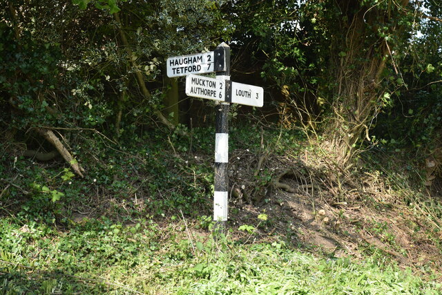
What 3 Words

///siblings.cherished.copper. Near Manby, Lincolnshire

Related Wikis

North Reston

North Reston is a village and former civil parish, now in the parish of Reston, in the East Lindsey district of Lincolnshire, England, and on the A157...

Reston, Lincolnshire

Reston is a civil parish in the East Lindsey district of Lincolnshire, England. It is situated on the A157, and approximately 5 miles (8 km) south from...

Legbourne

Legbourne is a village and civil parish in the East Lindsey district of Lincolnshire, England, about 3 miles (5 km) south-east of the town of Louth....
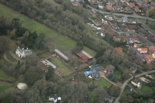
Legbourne Priory

Legbourne Priory was a priory in the village of Legbourne, Lincolnshire, England. Founded by Robert Fitz Gilbert around 1150, the priory was for the nuns...

Little Cawthorpe

Little Cawthorpe is a village and civil parish in the East Lindsey district of Lincolnshire, England. It is situated about 1.5 miles (2.4 km) south-west...

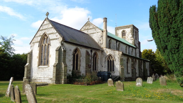
St Helen's Church, Little Cawthorpe

St Helen's Church is a redundant Anglican church in the village of Little Cawthorpe, Lincolnshire, England. It is recorded in the National Heritage List...

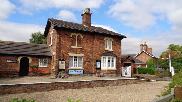
Legbourne Road railway station

Legbourne Road was a railway station on the East Lincolnshire Railway which served the village of Legbourne in Lincolnshire between 1848 and 1964. The...

Muckton

Muckton is a village and former civil parish in the East Lindsey district of Lincolnshire, England. It lies between the A16 and A157 roads, 5 miles (8...

Nearby Amenities

Located within 500m of 53.329852,0.062351344
Roper Hill
Place: locality
Source: Bing
Lat/Long: 53.3287511/0.0653192
The data included in this document is from www.openstreetmap.org. The data is made available under ODbL.

Have you been to Blindwell's Holt?

Leave your review of Blindwell's Holt below (or comments, questions and feedback).