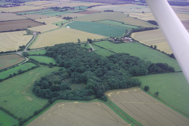
Roper Hill Plantation
Wood, Forest in Lincolnshire East Lindsey
England
Roper Hill Plantation

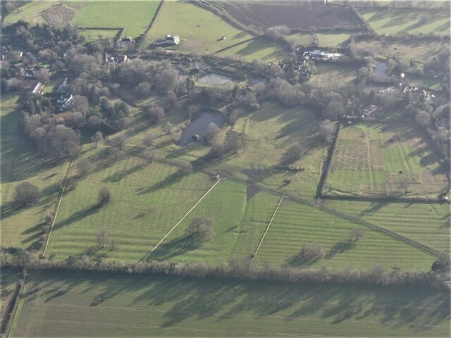
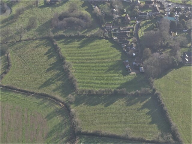
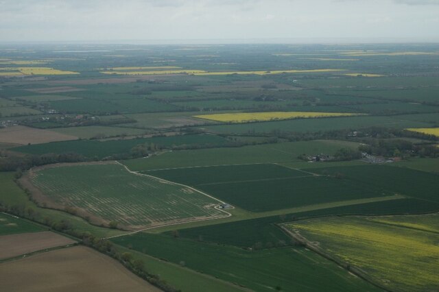
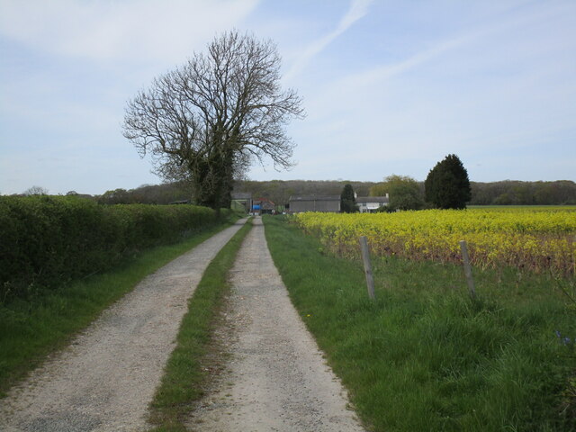
Roper Hill Plantation, located in Lincolnshire, England, is a picturesque woodland area known for its natural beauty and rich history. Spanning approximately 200 acres, the plantation is situated in the heart of the county, surrounded by rolling hills and lush greenery.
The plantation is primarily composed of a diverse range of tree species, including oak, birch, beech, and pine. These trees form a dense canopy, creating a tranquil and serene atmosphere within the woodland. The forest floor is covered in a thick layer of moss, providing a soft and comfortable surface for visitors to explore.
Roper Hill Plantation has a long and storied history, dating back several centuries. It was originally established as a hunting ground for the local nobility and has since evolved into a popular destination for nature enthusiasts and outdoor enthusiasts alike. The plantation is home to a variety of wildlife, including deer, foxes, and a wide array of bird species, making it a haven for wildlife watchers.
Visitors to Roper Hill Plantation can enjoy a range of activities, including hiking, cycling, and picnicking. The plantation boasts a network of well-maintained trails, allowing visitors to easily navigate through the woodland and discover its hidden treasures. Additionally, there are designated picnic areas where visitors can relax and enjoy the tranquil surroundings.
Overall, Roper Hill Plantation offers a peaceful retreat from the hustle and bustle of everyday life, providing visitors with a unique opportunity to connect with nature and immerse themselves in the beauty of Lincolnshire's woodlands.
If you have any feedback on the listing, please let us know in the comments section below.
Roper Hill Plantation Images
Images are sourced within 2km of 53.331229/0.064340127 or Grid Reference TF3783. Thanks to Geograph Open Source API. All images are credited.


Roper Hill Plantation is located at Grid Ref: TF3783 (Lat: 53.331229, Lng: 0.064340127)
Administrative County: Lincolnshire
District: East Lindsey
Police Authority: Lincolnshire
What 3 Words
///challenge.flagpole.passports. Near Manby, Lincolnshire
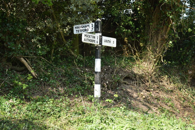
Nearby Locations
Related Wikis
North Reston
North Reston is a village and former civil parish, now in the parish of Reston, in the East Lindsey district of Lincolnshire, England, and on the A157...
Reston, Lincolnshire
Reston is a civil parish in the East Lindsey district of Lincolnshire, England. It is situated on the A157, and approximately 5 miles (8 km) south from...
Legbourne
Legbourne is a village and civil parish in the East Lindsey district of Lincolnshire, England, about 3 miles (5 km) south-east of the town of Louth....

Legbourne Priory
Legbourne Priory was a priory in the village of Legbourne, Lincolnshire, England. Founded by Robert Fitz Gilbert around 1150, the priory was for the nuns...

Little Cawthorpe
Little Cawthorpe is a village and civil parish in the East Lindsey district of Lincolnshire, England. It is situated about 1.5 miles (2.4 km) south-west...

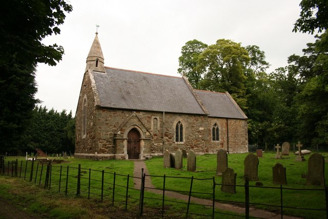
St Helen's Church, Little Cawthorpe
St Helen's Church is a redundant Anglican church in the village of Little Cawthorpe, Lincolnshire, England. It is recorded in the National Heritage List...
Carlton Castle
Castle Hill is the name given to the once substantial motte and bailey, perhaps double bailey, apparently associated with the then new town of Castle Carlton...
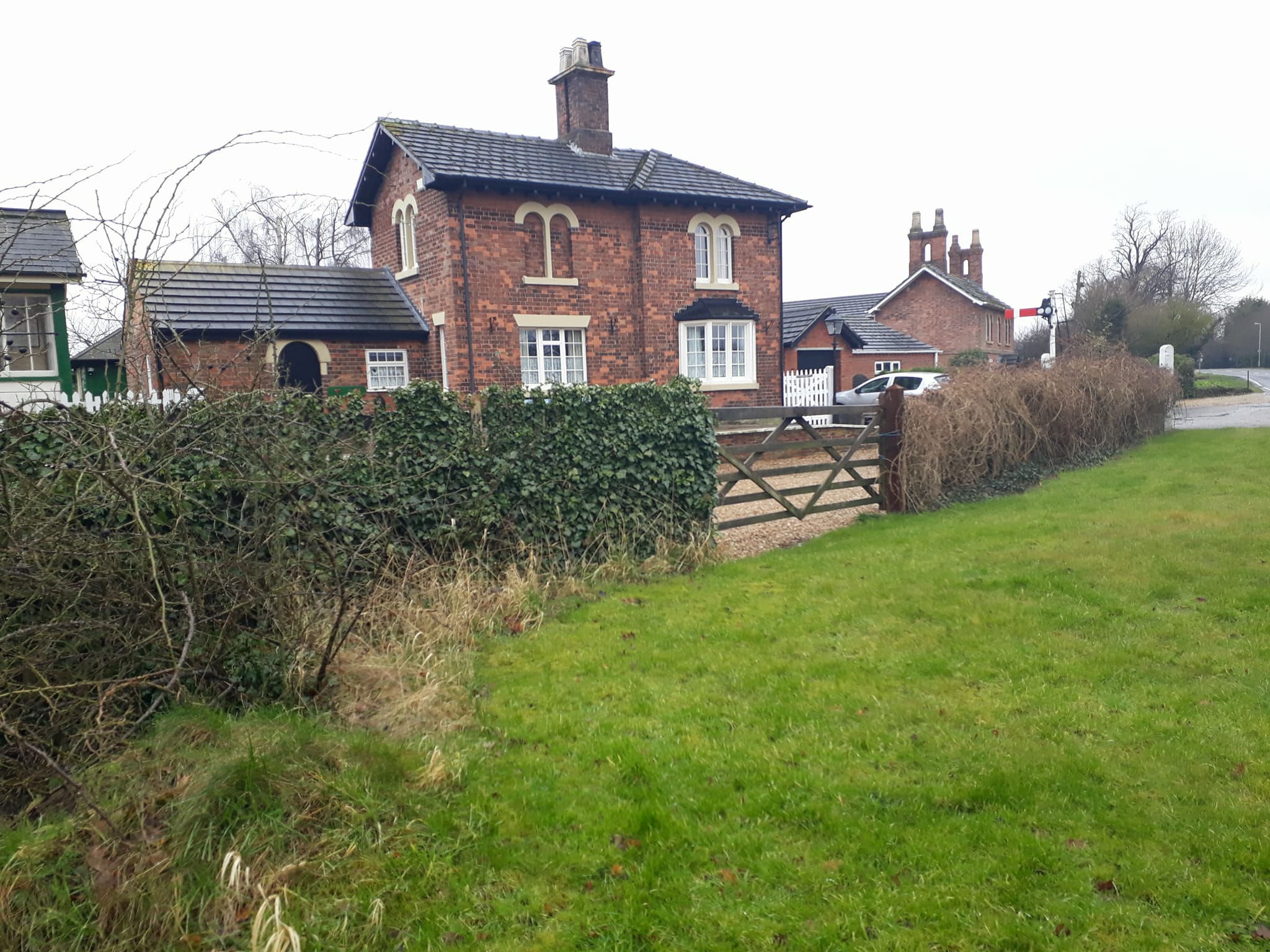
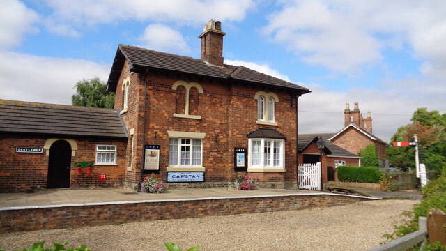
Legbourne Road railway station
Legbourne Road was a railway station on the East Lincolnshire Railway which served the village of Legbourne in Lincolnshire between 1848 and 1964. The...
Related Videos

Furze Farm
Wee week away with the van at Louth Lincolnshire.


A Trip to Little Cawthorpe, Louth, Lincolnshire #familydaysout #shorts #sebentv
We took a trip to Little Cawtnear Louth, Lincolnshire. This beautiful little village, tucked away in the Lincolnshire Wolds, is one of ...

Nearby Amenities
Located within 500m of 53.331229,0.064340127Have you been to Roper Hill Plantation?
Leave your review of Roper Hill Plantation below (or comments, questions and feedback).