The Mount
Heritage Site in Surrey Tandridge
England
The Mount
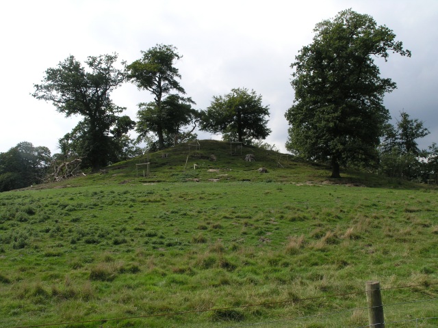
The Mount, located in Surrey, England, is a significant heritage site with a rich historical background. Built during the late 18th century, this iconic landmark serves as a testament to the architectural and cultural heritage of the region. The Mount is situated atop a gentle hill, offering panoramic views of the surrounding countryside.
Originally constructed as a country house, The Mount has undergone various transformations over the years. It was initially designed by Henry Emlyn, a renowned architect of the time, and later modified by other notable architects such as Sir Jeffry Wyatville. The architectural style combines elements of neoclassical and Georgian design, showcasing the elegance and sophistication of the era.
The estate surrounding The Mount is equally impressive, featuring beautifully landscaped gardens and sprawling parkland. These grounds were meticulously designed to complement the grandeur of the house, with features like ornamental lakes, terraces, and follies.
Throughout its history, The Mount has been associated with several notable figures. In the early 19th century, it served as a residence for the Duke of Wellington, a renowned military leader. The estate was later purchased by a prominent industrialist, who further enhanced its grandeur.
Today, The Mount stands as a stunning example of historical architecture and is open to the public. Visitors can explore the opulent interiors, stroll through the picturesque gardens, and learn about the site's fascinating history through informative exhibits. The Mount is not only a cherished heritage site but also a beloved attraction that offers visitors a glimpse into the past.
If you have any feedback on the listing, please let us know in the comments section below.
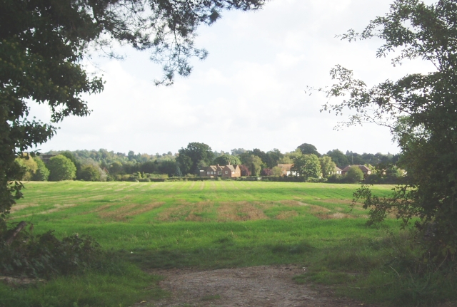
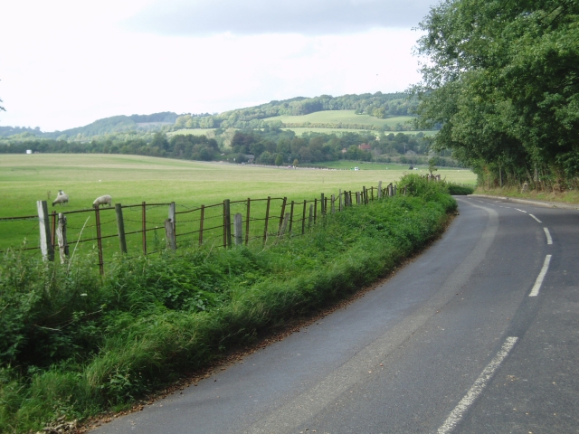
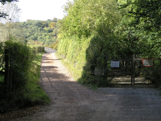
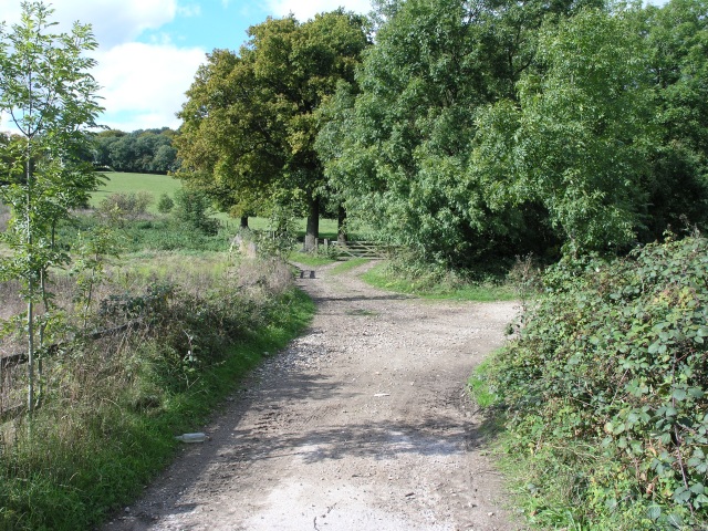
The Mount Images
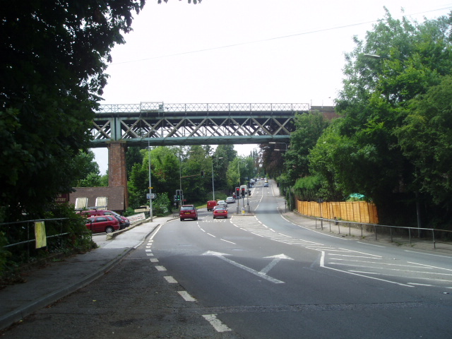
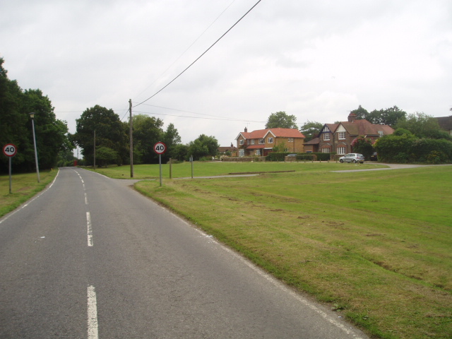
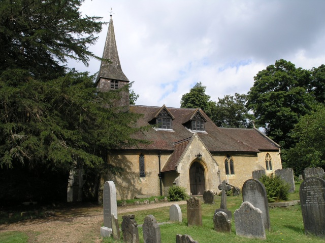
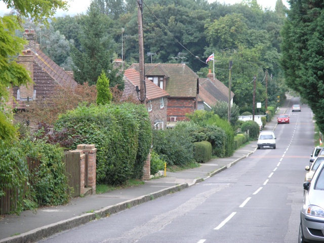
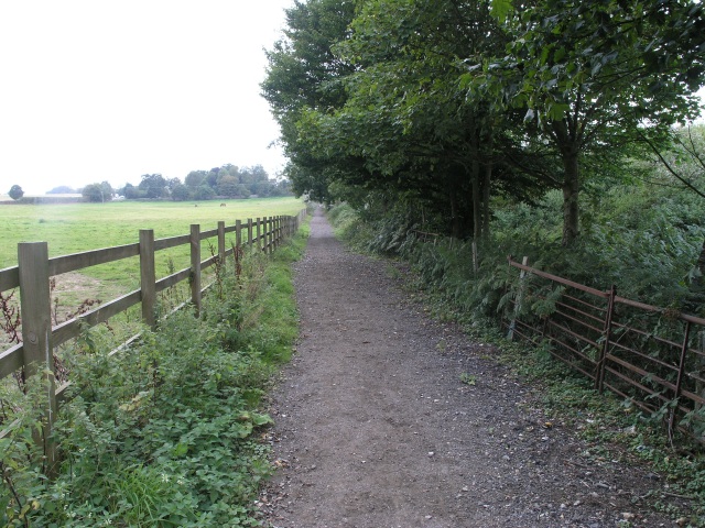
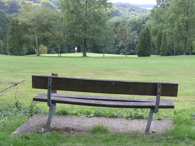
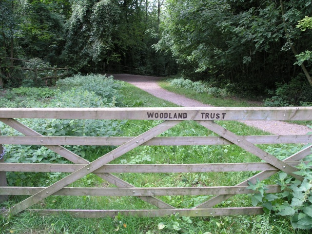
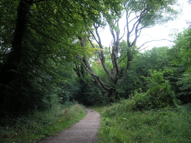
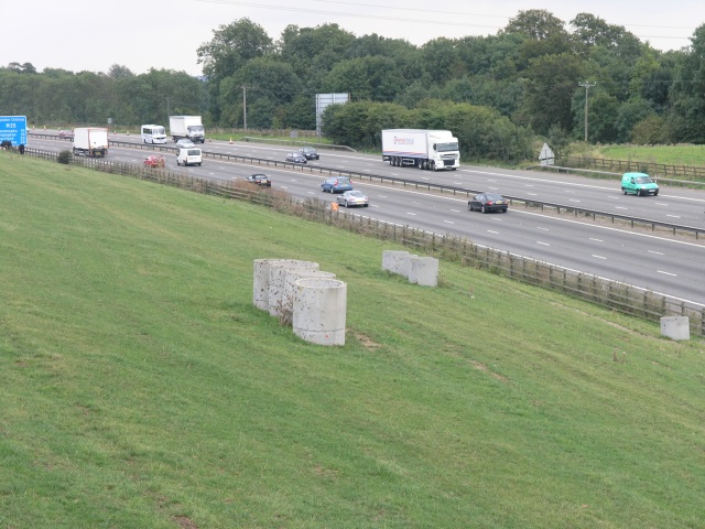
Images are sourced within 2km of 51.255/-0.03 or Grid Reference TQ3752. Thanks to Geograph Open Source API. All images are credited.

The Mount is located at Grid Ref: TQ3752 (Lat: 51.255, Lng: -0.03)
Administrative County: Surrey
District: Tandridge
Police Authority: Surrey
What 3 Words
///mouth.filled.edge. Near Oxted, Surrey
Nearby Locations
Related Wikis

Barrow Green Court
Barrow Green Court is a Grade I listed house near Oxted, Surrey, England.The house was built in the early-17th century, with mid-18th century alterations...

Tandridge Hundred
Tandridge Hundred was a hundred in Surrey, England. It comprised areas in the Tandridge District, the easternmost part of the county, bordering Kent, West...
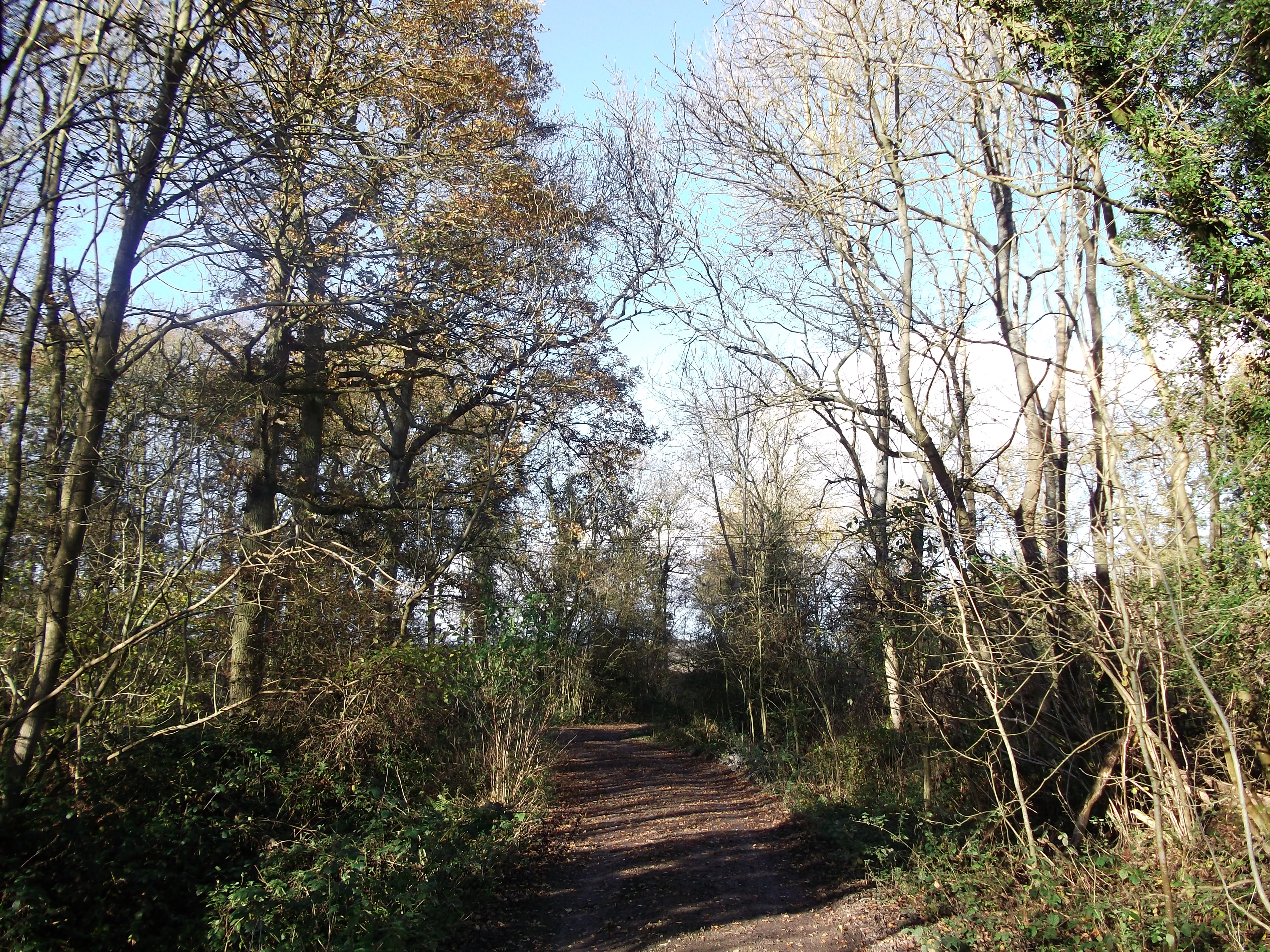
Titsey Woods
Titsey Woods is a 45.3-hectare (112-acre) biological Site of Special Scientific Interest north-west of Oxted in Surrey.This site is composed of wet semi...
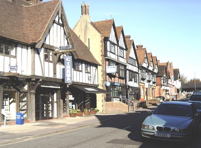
Oxted
Oxted is a town and civil parish in the Tandridge district of Surrey, England, at the foot of the North Downs. It is 9 miles (14 km) south south-east of...

Woldingham and Oxted Downs
Woldingham and Oxted Downs is a 128.4-hectare (317-acre) biological Site of Special Scientific Interest east of Caterham in Surrey.This sloping site on...
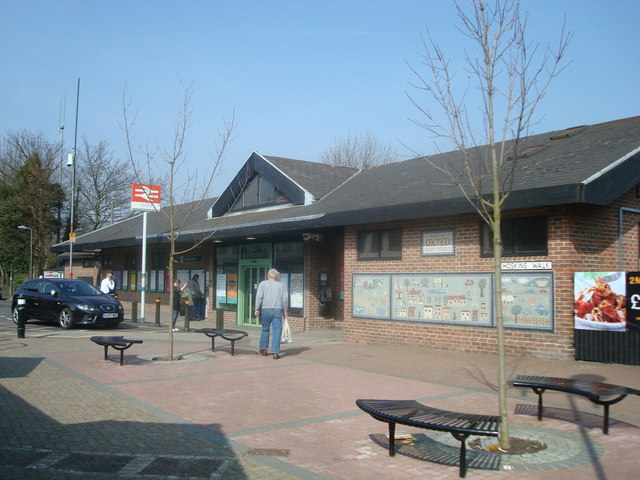
Oxted railway station
Oxted railway station is on the Oxted line in southern England, serving the commuter town of Oxted, Surrey. It is 20 miles 25 chains (20.31 miles, 32.69...

Tandridge
Tandridge is a village and civil parish in the Tandridge District, in the county of Surrey, England. Its nucleus is on a rise of the Greensand Ridge between...

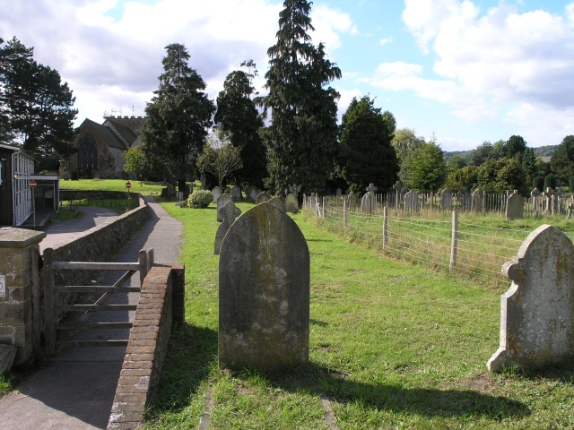
All Saints Church, Oxted
All Saints Church is a Roman Catholic Parish church in Oxted, Surrey. Building work on the church started in 1913 and was delayed by World War I. Aspects...
Nearby Amenities
Located within 500m of 51.255,-0.03Have you been to The Mount?
Leave your review of The Mount below (or comments, questions and feedback).