Spring Park Wood
Wood, Forest in Surrey
England
Spring Park Wood

Spring Park Wood is a charming forest located in the county of Surrey, England. Covering an area of approximately 150 acres, this woodland is renowned for its natural beauty and diverse flora and fauna. It is situated near the town of Guildford, making it easily accessible for both locals and visitors alike.
The wood is primarily composed of broadleaf trees, including oak, beech, and ash, which create a dense canopy, providing shade and shelter for the numerous wildlife species that call this place home. The forest floor is covered with a rich carpet of bluebells in the spring, creating a stunning display of vibrant colors.
Visitors to Spring Park Wood can enjoy a variety of recreational activities. There are well-maintained walking trails that meander through the forest, allowing visitors to immerse themselves in the tranquil surroundings. These trails are suitable for all fitness levels and provide ample opportunities to observe the local wildlife, such as deer, foxes, and a wide array of bird species.
The wood is also a popular spot for picnicking and nature photography. Its picturesque beauty makes it an ideal setting for capturing breathtaking shots of the changing seasons or simply enjoying a peaceful afternoon with family and friends.
In addition to its natural attractions, Spring Park Wood is also home to a number of historical landmarks. Ruins of an ancient Roman villa can be found within the forest, providing a glimpse into the area's rich history.
Overall, Spring Park Wood is a captivating destination for nature enthusiasts, offering a serene escape from the hustle and bustle of everyday life.
If you have any feedback on the listing, please let us know in the comments section below.
Spring Park Wood Images
Images are sourced within 2km of 51.372751/-0.027934265 or Grid Reference TQ3765. Thanks to Geograph Open Source API. All images are credited.


Spring Park Wood is located at Grid Ref: TQ3765 (Lat: 51.372751, Lng: -0.027934265)
Unitary Authority: Croydon
Police Authority: Metropolitan
What 3 Words
///shadow.belts.fact. Near West Wickham, London
Nearby Locations
Related Wikis

Spring Park, Croydon
Spring Park is a small area in London, England. It is within the London Borough of Bromley and the London Borough of Croydon, straddling the traditional...

Millers Pond
Millers Pond is a small park in the Spring Park area of the London Borough of Croydon, England. == Description == Covering an area of some 4 acres (1.62...
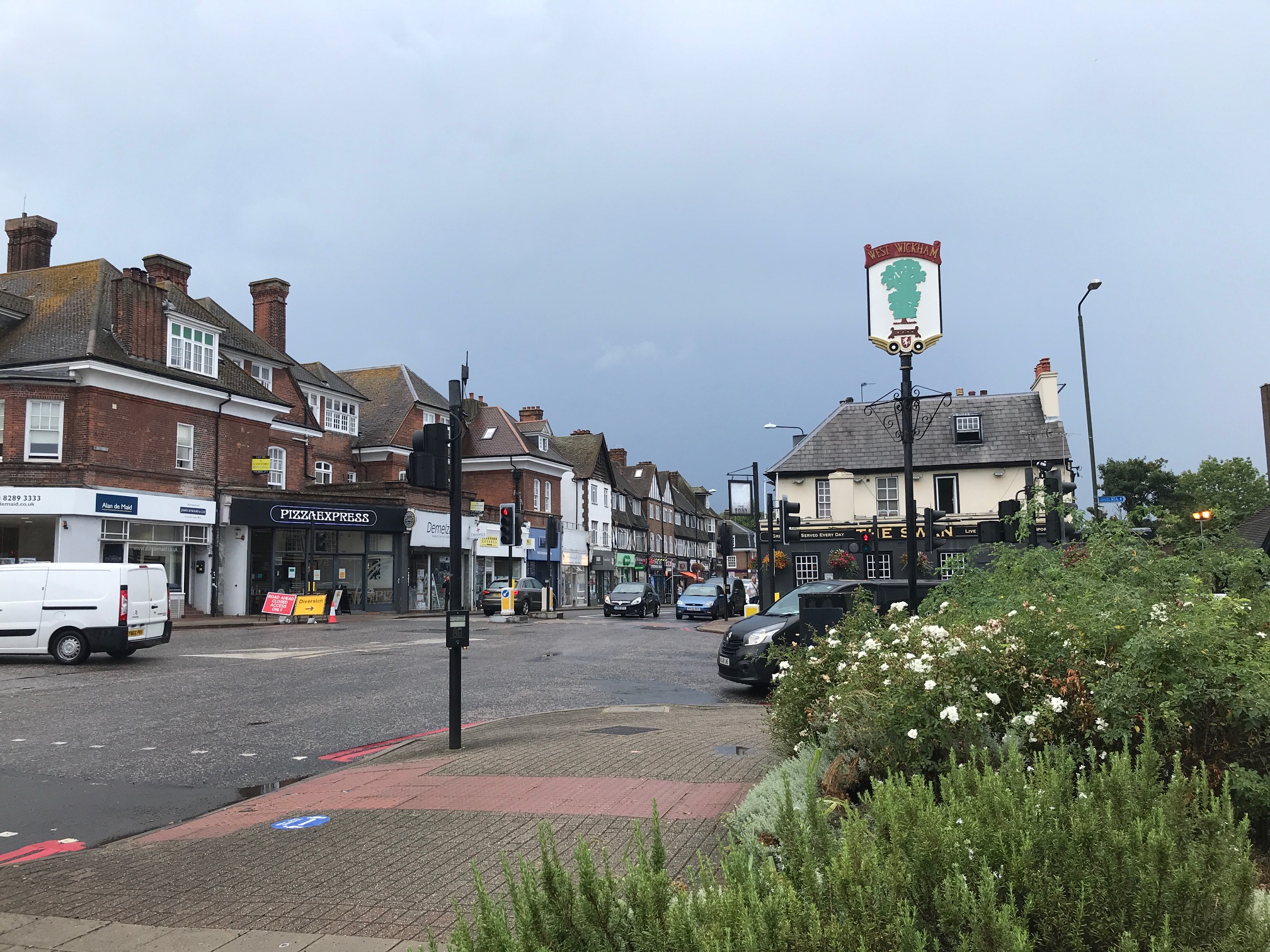
West Wickham
West Wickham is an area of South East London, England, in the London Borough of Bromley. It lies south of Park Langley, Eden Park Beckenham and Bromley...
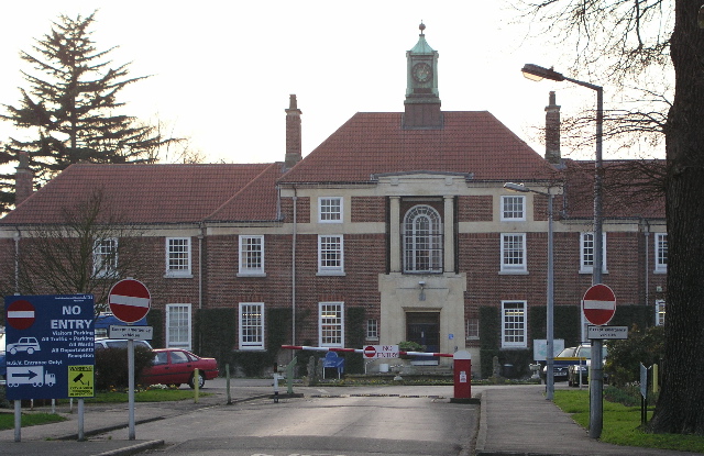
Bethlem Royal Hospital
Bethlem Royal Hospital, also known as St. Mary Bethlehem, Bethlehem Hospital and Bedlam, is a psychiatric hospital in Bromley, London. Its famous history...
Nearby Amenities
Located within 500m of 51.372751,-0.027934265Have you been to Spring Park Wood?
Leave your review of Spring Park Wood below (or comments, questions and feedback).