Trumpetshill Copse

Wood, Forest in Surrey Reigate and Banstead

England

Trumpetshill Copse

Sewer vent column A sewer vent column (or "stinkpipe") hidden among trees on a small rise on Reigate Heath.  For a wider view see <a href="https://www.geograph.org.uk/photo/7035840">TQ2350 : Sewer vent column</a>.
Sewer vent column Credit: Ian Capper

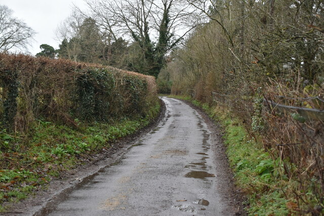
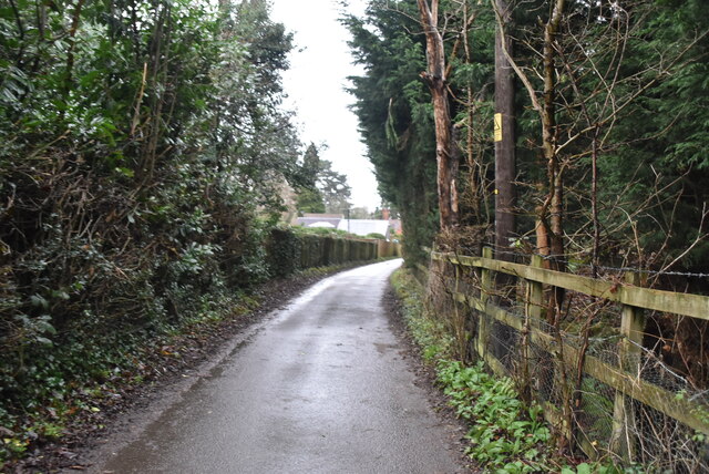
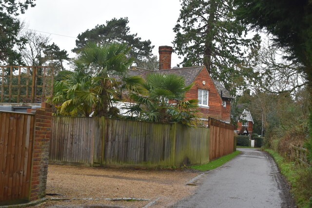
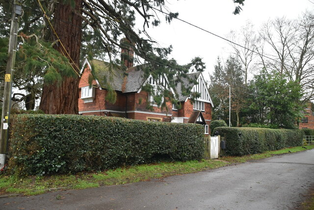
Trumpetshill Copse is a picturesque woodland located in the county of Surrey, England. Covering an area of approximately 20 acres, this enchanting forest is a haven for nature enthusiasts and a popular destination for locals and tourists alike.

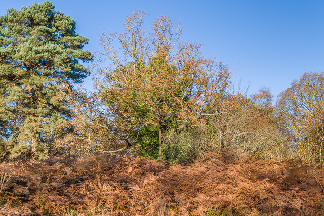
Situated in the heart of Surrey, Trumpetshill Copse boasts a diverse range of flora and fauna, making it a significant ecological site. The woodland is characterized by its dense canopy of tall oak, beech, and birch trees, creating a serene and tranquil atmosphere. A carpet of bluebells adds a splash of color to the forest floor during the spring months, while vibrant wildflowers dot the landscape throughout the summer.

The copse is also home to a variety of wildlife, including deer, foxes, badgers, and numerous bird species. Birdwatchers can spot robins, woodpeckers, and owls, among others, making it an ideal spot for birdwatching enthusiasts. The forest provides a natural habitat for these creatures, offering a peaceful and undisturbed environment.

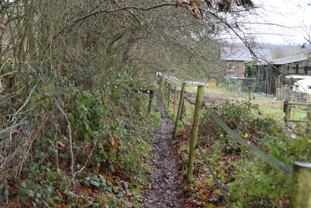
For outdoor enthusiasts, Trumpetshill Copse offers a network of well-maintained walking trails, allowing visitors to explore the woodland and enjoy its natural beauty. The trails vary in difficulty and length, catering to both casual strollers and avid hikers. Along the way, visitors can discover hidden streams, small ponds, and occasional glimpses of wildlife.

Overall, Trumpetshill Copse in Surrey is a magical woodland that offers a delightful escape from the hustle and bustle of daily life. Its breathtaking scenery, abundant wildlife, and peaceful ambiance make it a must-visit destination for nature lovers and those seeking a moment of tranquility amidst nature's embrace.

If you have any feedback on the listing, please let us know in the comments section below.

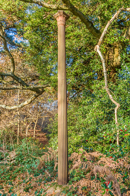
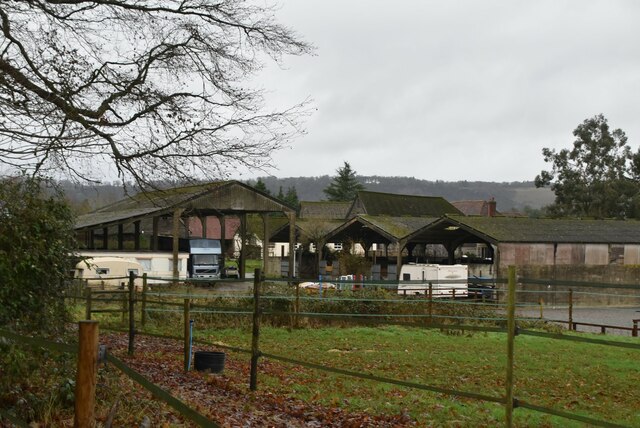
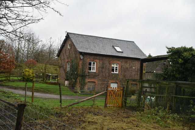
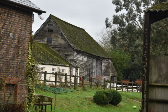
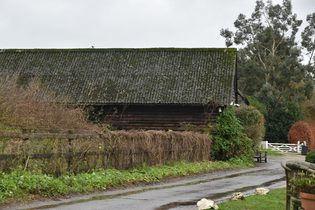
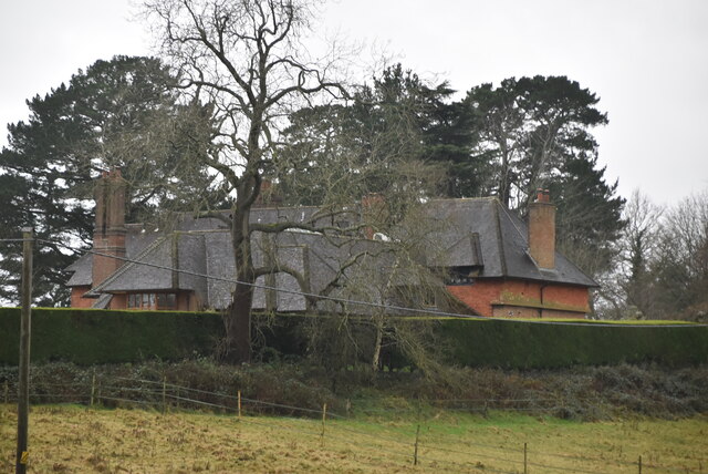
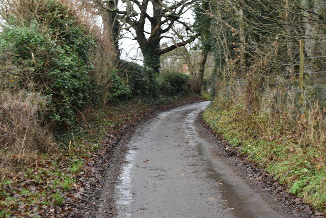
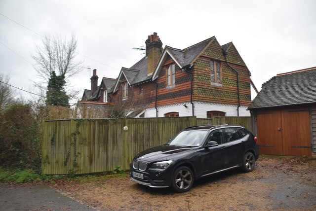
Trumpetshill Copse Images

Images are sourced within 2km of 51.231059/-0.2406455 or Grid Reference TQ2249. Thanks to Geograph Open Source API. All images are credited.

Sewer vent column A sewer vent column (or "stinkpipe") hidden among trees on a small rise on Reigate Heath.  For a wider view see <a href="https://www.geograph.org.uk/photo/7035840">TQ2350 : Sewer vent column</a>.
Sewer vent column
A sewer vent column (or "stinkpipe") hidden among trees on a small rise on Reigate Heath. For a wider view see TQ2350 : Sewer vent column.
Sewer vent column A small rise on Reigate Heath.  In the centre of the photo, part hidden by the tree, can be seen a sewer vent column (or "stinkpipe").  For a close up see <a href="https://www.geograph.org.uk/photo/7035838">TQ2350 : Sewer vent column</a>.
Sewer vent column
A small rise on Reigate Heath. In the centre of the photo, part hidden by the tree, can be seen a sewer vent column (or "stinkpipe"). For a close up see TQ2350 : Sewer vent column.
Pond on Buckland Village Green
Railway line to Reigate
Clock tower and weathervane, Old Reigatians Rugby Club Clock tower (with wonky clock!) and rugby-themed weathervane on the roof of Old Reigatians Rugby Club's clubhouse (see <a href="https://www.geograph.org.uk/photo/5142381">TQ2450 : Old Reigatians Rugby Club</a>).
Clock tower and weathervane, Old Reigatians Rugby Club
Clock tower (with wonky clock!) and rugby-themed weathervane on the roof of Old Reigatians Rugby Club's clubhouse (see TQ2450 : Old Reigatians Rugby Club).
Dungate's Farm
Dungate's Farm
Narrow and muddy
Narrow and muddy
The Granary
The Granary
Barn, Dungate's Farm
Dungate's Farm
Dungate's Farm
Wonham Hill
Wonham Hill
dungate's Lane
dungate's Lane
Fourpenny Cottage
Fourpenny Cottage
Dungate's Lane
Dungate's Lane
Dungate's Lane
Dungate's Lane
Dungate's Lane
Dungate's Lane
Pilgrim Cottage
Pilgrim Cottage
Yewdell's
Yewdell's
Show me another place!

Trumpetshill Copse is located at Grid Ref: TQ2249 (Lat: 51.231059, Lng: -0.2406455)

Administrative County: Surrey

District: Reigate and Banstead

Police Authority: Surrey

What 3 Words

///sober.lower.commented. Near Reigate, Surrey

Related Wikis

Reigate Heath Windmill

Reigate Heath Windmill is a grade II* listed post mill at Reigate Heath, Surrey, England which has been restored and is used as a chapel. It is thought...

Reigate Heath

Reigate Heath is a 61.7-hectare (152-acre) biological Site of Special Scientific Interest west of Reigate in Surrey. An area of 51.6 hectares (128 acres...
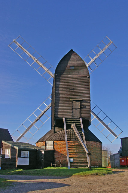
Buckland Windmill

Buckland Windmill is a grade II listed smock mill at Buckland, Surrey, England which has been restored to working order. It is the only surviving wind...
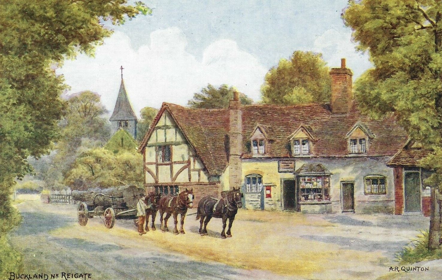
Buckland, Surrey

Buckland is a village and civil parish in the Mole Valley district of Surrey, England, between Dorking and Reigate, its nearest towns. The civil parish...

Betchworth

Betchworth is a village and civil parish in the Mole Valley district of Surrey, England. The village centre is on the north bank of the River Mole and...
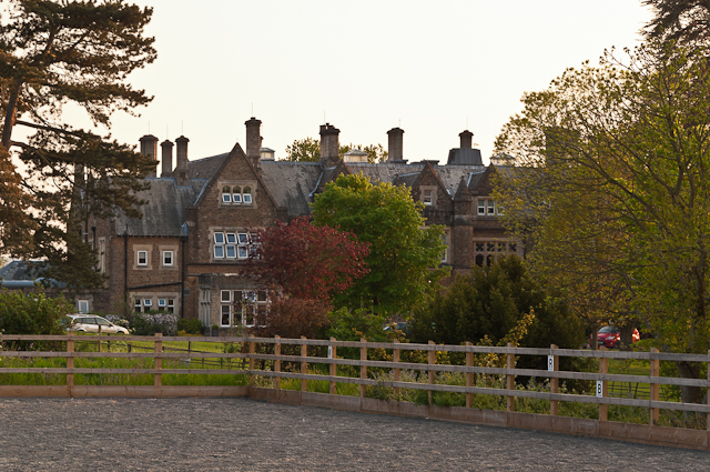
Hartsfield Manor

Hartsfield Manor is an early Victorian house of historical significance located in Betchworth, Surrey, England. It was built in the 1860s as a private...

Reigate Priory F.C.

Reigate Priory Football Club is a football club based in Reigate, Surrey, England. They are currently members of the Mid-Sussex League Premiership and...

South Park F.C.

South Park Reigate Football Club are an English football club based in Reigate, Surrey. The club is affiliated to the Surrey County Football Association...

Nearby Amenities

Located within 500m of 51.231059,-0.2406455
Traffic Calming: choker
Lat/Long: 51.2290742/-0.2379455
Barrier: bollard
Bicycle: yes
Foot: yes
Horse: yes
Lat/Long: 51.2348906/-0.2377642
Heathfield
Building: yes
Source: npe
Lat/Long: 51.2310219/-0.2364894
Barrier: stile
Lat/Long: 51.2284633/-0.2439251
Barrier: stile
Lat/Long: 51.2290664/-0.2428555
Post Box
Ref: RH2 139
Source: Photo P143-0510
Lat/Long: 51.233084/-0.237251
Barrier: stile
Lat/Long: 51.2284232/-0.244214
Barrier: kissing_gate
Lat/Long: 51.2305741/-0.2375459
Barrier: bollard
Bicycle: yes
Foot: yes
Horse: yes
Source: P142-0226
Lat/Long: 51.2324004/-0.2440771
Fire Hydrant
Emergency: fire_hydrant
Fire Hydrant Type: underground
Lat/Long: 51.2300799/-0.2411858
Fire Hydrant
Emergency: fire_hydrant
Fire Hydrant Diameter: 150
Fire Hydrant Position: lane
Fire Hydrant Type: underground
Lat/Long: 51.2299729/-0.2393085
Traffic Calming: choker
Lat/Long: 51.2292152/-0.2379727
Fire Hydrant
Emergency: fire_hydrant
Fire Hydrant Diameter: 150
Fire Hydrant Position: lane
Fire Hydrant Type: underground
Lat/Long: 51.2312555/-0.2377644
Fire Hydrant
Emergency: fire_hydrant
Fire Hydrant Diameter: 75
Fire Hydrant Position: lane
Fire Hydrant Type: underground
Source: P174-0369 on ramble
Lat/Long: 51.2329243/-0.2398542
Operator: EDF Energy
Power: substation
Ref: Oakhurst 503896
Source: P174-0368 on ramble
Lat/Long: 51.2329924/-0.239529
Barrier: bollard
Bicycle: yes
Foot: yes
Horse: yes
Lat/Long: 51.2330542/-0.2395201
Operator: UK Power Networks
Power: substation
Ref: Sandy Lane 501 323
Source: P174-0364
Lat/Long: 51.2335107/-0.2371747
Trumpets Hill
Place: locality
Lat/Long: 51.2294646/-0.2365072
Power: pole
Source: gps;Bing
Lat/Long: 51.2305168/-0.2347255
Power: pole
Source: gps
Lat/Long: 51.2283921/-0.2441561
The data included in this document is from www.openstreetmap.org. The data is made available under ODbL.

Have you been to Trumpetshill Copse?

Leave your review of Trumpetshill Copse below (or comments, questions and feedback).