Trumpets Hill
Hill, Mountain in Surrey Reigate and Banstead
England
Trumpets Hill
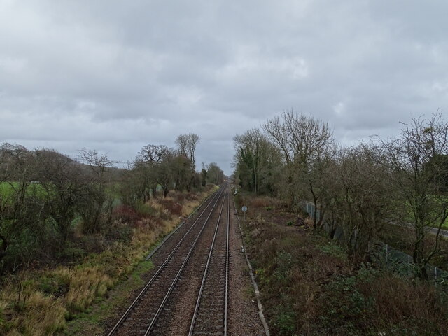
Trumpets Hill is a prominent hill located in Surrey, England. Situated approximately 18 miles southwest of London, it is part of the North Downs, a range of chalk hills that extends across Surrey and Kent. Rising to a height of around 180 meters (590 feet), Trumpets Hill offers breathtaking panoramic views of the surrounding countryside.
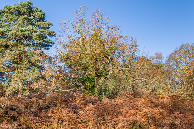
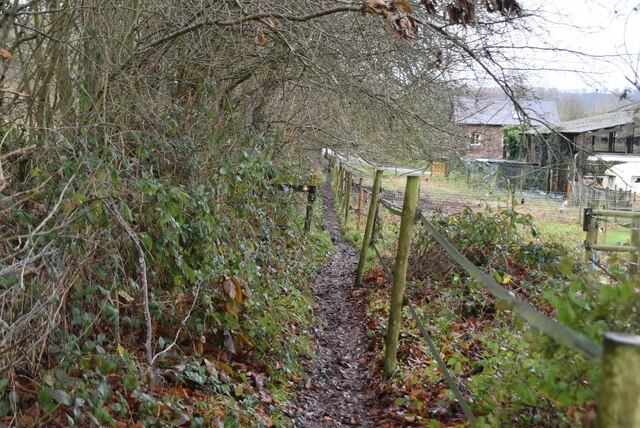
The hill is covered in lush greenery, with a variety of trees, shrubs, and wildflowers dotting its slopes. Its gentle terrain makes it an ideal spot for hiking, picnicking, and leisurely walks. The paths winding up the hill are well-maintained, providing a pleasant outdoor experience for visitors.
Trumpets Hill is often frequented by nature enthusiasts and outdoor lovers, who come to enjoy the tranquility and natural beauty it offers. The hill is home to a diverse range of wildlife, including birds, butterflies, and small mammals, adding to its appeal for nature lovers.
At the summit of Trumpets Hill, there is a trig point, a concrete pillar used in surveying, which marks the highest point and serves as a landmark for visitors. From this vantage point, one can admire the stunning vistas of the Surrey Hills Area of Outstanding Natural Beauty, which encompasses the surrounding countryside.
Overall, Trumpets Hill is a picturesque and scenic location, offering a peaceful respite from the hustle and bustle of urban life. With its stunning views, abundant wildlife, and well-maintained trails, it is a popular destination for both locals and tourists alike.
If you have any feedback on the listing, please let us know in the comments section below.
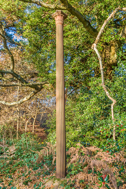
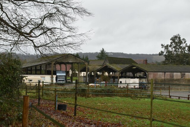
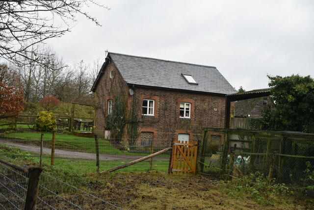
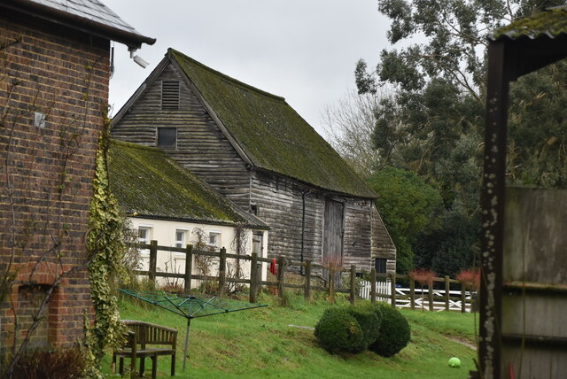
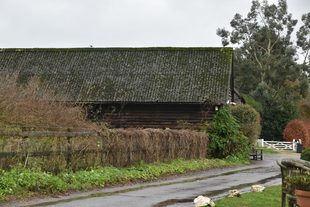
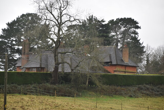
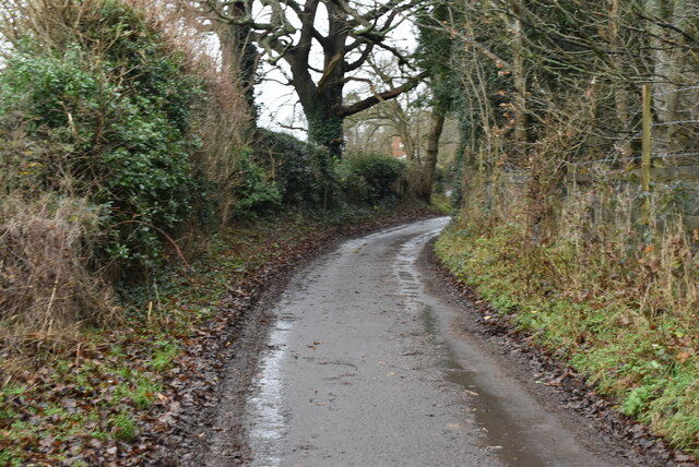
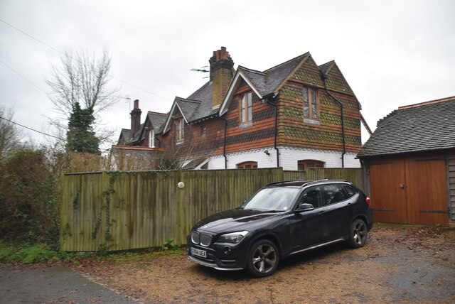
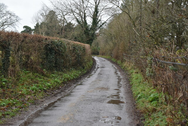
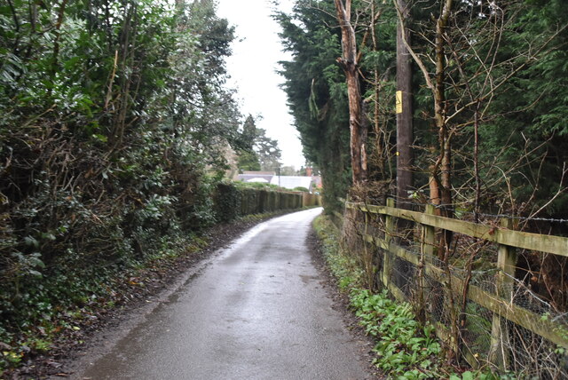
Trumpets Hill Images
Images are sourced within 2km of 51.231774/-0.23973018 or Grid Reference TQ2249. Thanks to Geograph Open Source API. All images are credited.


Trumpets Hill is located at Grid Ref: TQ2249 (Lat: 51.231774, Lng: -0.23973018)
Administrative County: Surrey
District: Reigate and Banstead
Police Authority: Surrey
What 3 Words
///lasted.marble.scenes. Near Reigate, Surrey
Nearby Locations
Related Wikis
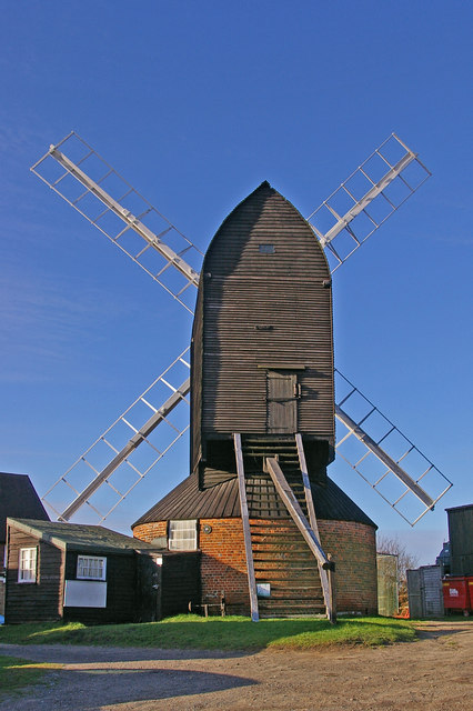
Reigate Heath Windmill
Reigate Heath Windmill is a grade II* listed post mill at Reigate Heath, Surrey, England which has been restored and is used as a chapel. It is thought...

Reigate Heath
Reigate Heath is a 61.7-hectare (152-acre) biological Site of Special Scientific Interest west of Reigate in Surrey. An area of 51.6 hectares (128 acres...

Buckland Windmill
Buckland Windmill is a grade II listed smock mill at Buckland, Surrey, England which has been restored to working order. It is the only surviving wind...
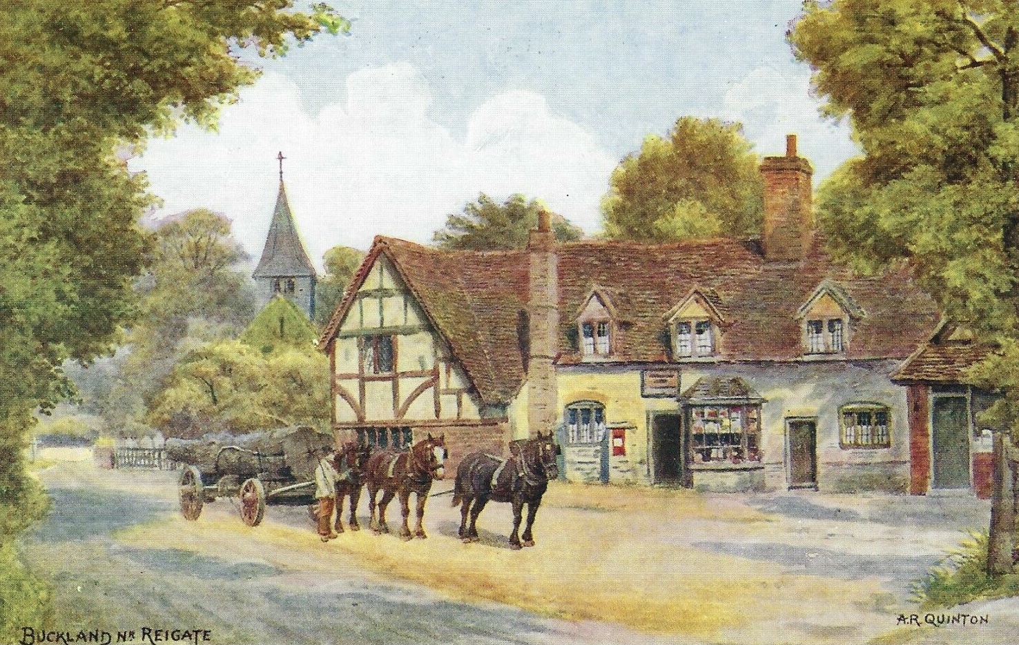
Buckland, Surrey
Buckland is a village and civil parish in the Mole Valley district of Surrey, England, between Dorking and Reigate, its nearest towns. The civil parish...

Reigate Priory F.C.
Reigate Priory Football Club is a football club based in Reigate, Surrey, England. They are currently members of the Mid-Sussex League Premiership and...
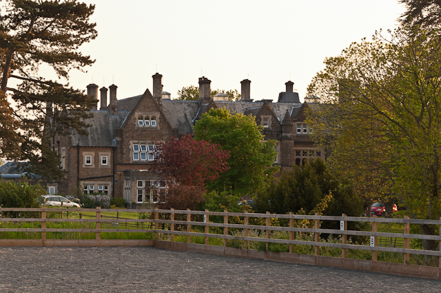
Hartsfield Manor
Hartsfield Manor is an early Victorian house of historical significance located in Betchworth, Surrey, England. It was built in the 1860s as a private...

Betchworth
Betchworth is a village and civil parish in the Mole Valley district of Surrey, England. The village centre is on the north bank of the River Mole and...
South Park F.C.
South Park Reigate Football Club are an English football club based in Reigate, Surrey. The club is affiliated to the Surrey County Football Association...
Related Videos

England 🏴: Surrey Walks | Betchworth Castle
A short hike to the ruins of Betchworth Castle near Dorking in Surrey, UK Filmed on my GoPro 10 and iPhone.

A REIGATE HEATH Walk with The BALD EXPLORER
It's a Saturday morning and I'm out on Reigate Heath in Surrey for a short Walk with Richard Vobes - The Bald Explorer and some ...

Hidden camera reveals abuse by care home staff of dementia patient Ann King
When Ann King, 88, faced worsening dementia, her children considered a dozen care homes and carefully picked Reigate ...
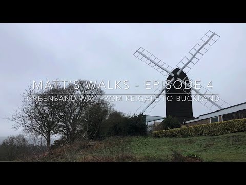
Matt’s Walks - Episode 4 - Reigate to Buckland on the Greensand Way
Hi everyone, here's the fourth walk video on my channel. It was filmed on 20 March, the Thursday before the lockdown, hence my ...
Nearby Amenities
Located within 500m of 51.231774,-0.23973018Have you been to Trumpets Hill?
Leave your review of Trumpets Hill below (or comments, questions and feedback).