Guzzle Copse
Wood, Forest in Surrey Mole Valley
England
Guzzle Copse
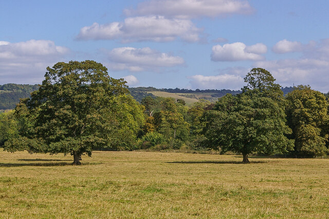
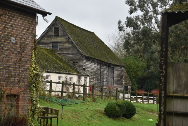
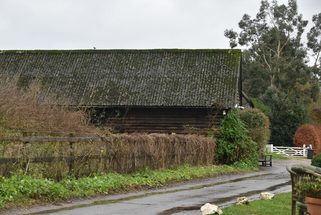
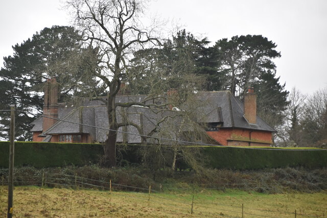
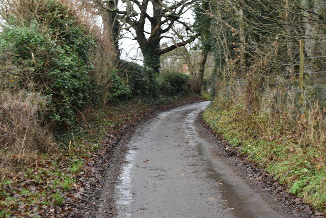
Guzzle Copse is a picturesque woodland located in Surrey, England. Spanning over several acres, it is a popular destination for nature lovers and outdoor enthusiasts. The copse is nestled within the heart of Surrey's stunning countryside, offering visitors a peaceful and idyllic retreat from the hustle and bustle of everyday life.
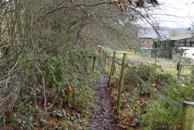
The woodland is characterized by its dense canopy of trees, predominantly consisting of oak, beech, and birch. The towering trees create a serene atmosphere, casting dappled sunlight onto the forest floor. A network of meandering footpaths and trails crisscrosses through the copse, allowing visitors to explore its beauty at their leisure.
Guzzle Copse is home to a rich variety of flora and fauna. The forest floor is carpeted with bluebells and wildflowers during the spring months, creating a vibrant and colorful display. The copse also provides a habitat for various bird species, including woodpeckers, owls, and finches, making it a haven for birdwatchers.
Visitors to Guzzle Copse can partake in a range of recreational activities. The woodland is a popular spot for walking, jogging, and cycling, with well-maintained paths ensuring a pleasant experience for all. There are also designated picnic areas, allowing families and friends to enjoy a leisurely lunch amidst nature's beauty.
Overall, Guzzle Copse offers a tranquil and enchanting woodland experience in the heart of Surrey. With its diverse wildlife, scenic trails, and peaceful ambiance, it is a must-visit destination for those seeking a connection with nature.
If you have any feedback on the listing, please let us know in the comments section below.
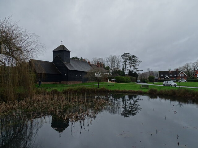
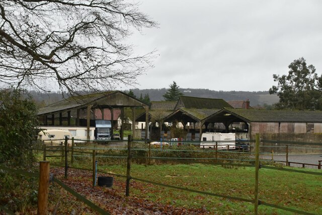
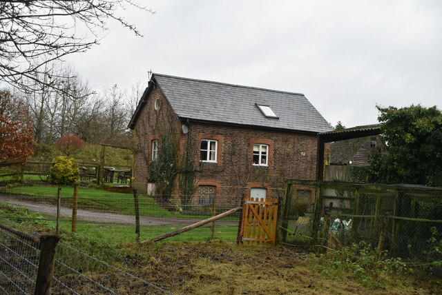
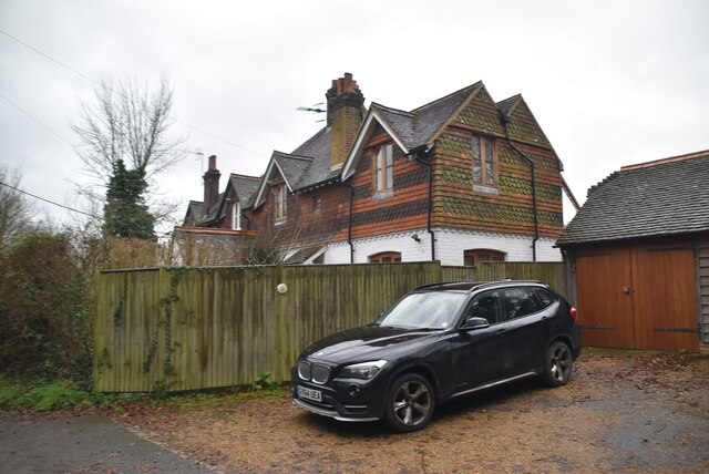
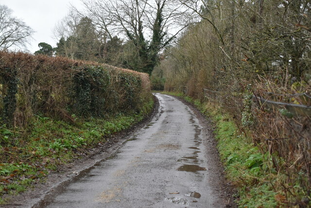
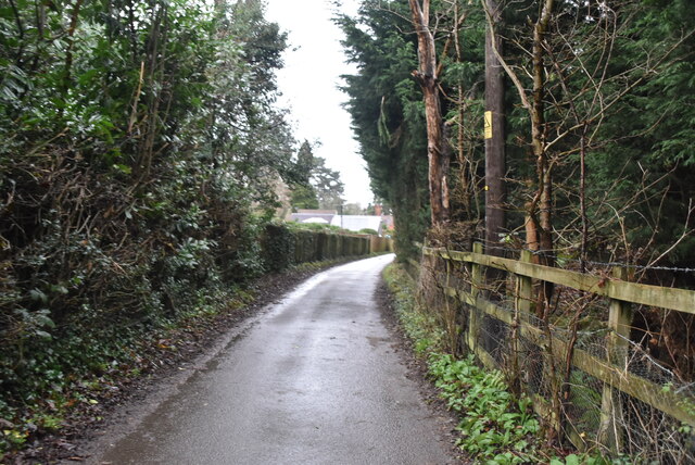
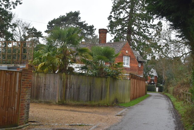
Guzzle Copse Images
Images are sourced within 2km of 51.227167/-0.25096273 or Grid Reference TQ2249. Thanks to Geograph Open Source API. All images are credited.

Guzzle Copse is located at Grid Ref: TQ2249 (Lat: 51.227167, Lng: -0.25096273)
Administrative County: Surrey
District: Mole Valley
Police Authority: Surrey
What 3 Words
///teeth.minus.worth. Near Reigate, Surrey
Nearby Locations
Related Wikis

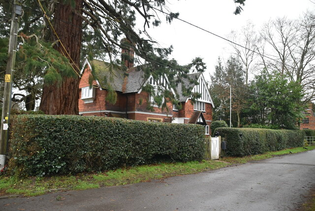
Betchworth
Betchworth is a village and civil parish in the Mole Valley district of Surrey, England. The village centre is on the north bank of the River Mole and...
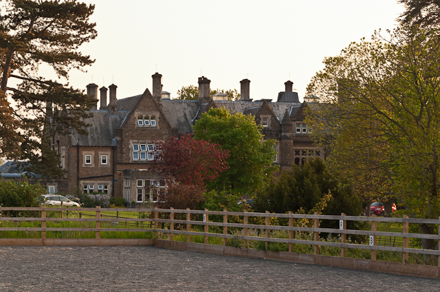
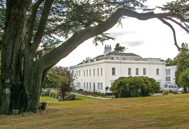
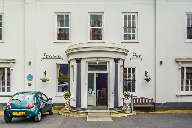
Hartsfield Manor
Hartsfield Manor is an early Victorian house of historical significance located in Betchworth, Surrey, England. It was built in the 1860s as a private...
Reigate Heath Windmill
Reigate Heath Windmill is a grade II* listed post mill at Reigate Heath, Surrey, England which has been restored and is used as a chapel. It is thought...

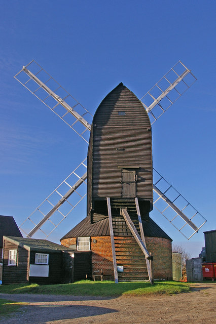
Buckland Windmill
Buckland Windmill is a grade II listed smock mill at Buckland, Surrey, England which has been restored to working order. It is the only surviving wind...

Reigate Heath
Reigate Heath is a 61.7-hectare (152-acre) biological Site of Special Scientific Interest west of Reigate in Surrey. An area of 51.6 hectares (128 acres...
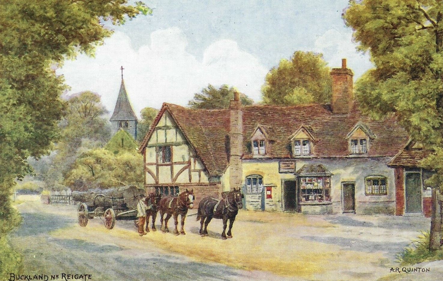
Buckland, Surrey
Buckland is a village and civil parish in the Mole Valley district of Surrey, England, between Dorking and Reigate, its nearest towns. The civil parish...
Leigh, Surrey
Leigh is a village and civil parish in Surrey, between Reigate, Dorking and Charlwood in the east of Mole Valley district. The village centre is suburban...

Moon Hall School
Moon Hall School, since 1952 an independent co-educational preparatory school at Leigh, near Reigate in Surrey, is currently, as of 2021, a special school...
Nearby Amenities
Located within 500m of 51.227167,-0.25096273Have you been to Guzzle Copse?
Leave your review of Guzzle Copse below (or comments, questions and feedback).