Ashurst Wood
Wood, Forest in Sussex Horsham
England
Ashurst Wood
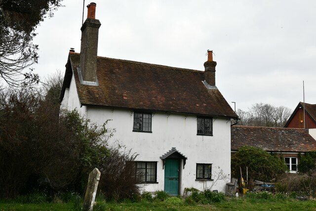
Ashurst Wood is a small village located in the county of Sussex, England. Situated in the High Weald Area of Outstanding Natural Beauty, it is surrounded by picturesque woodlands and rolling countryside. The village is part of the civil parish of Ashurst and has a population of around 2,000 residents.
The name "Ashurst Wood" reflects the abundance of ash trees in the area, which contribute to the village's natural beauty. The woodlands provide a serene and peaceful environment, attracting nature enthusiasts and walkers who can explore the numerous public footpaths and trails that crisscross the area.
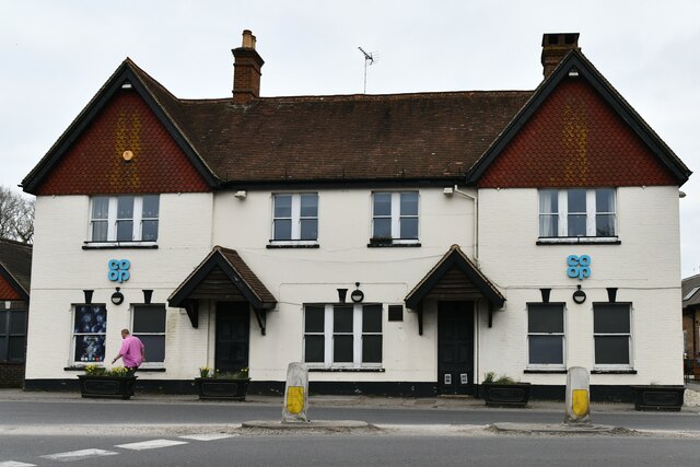
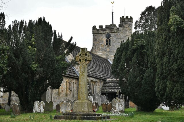
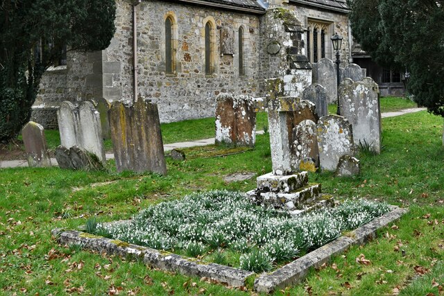
Despite its rural setting, Ashurst Wood has a vibrant community. It features a local primary school, a village hall, and a church, which serve as focal points for social gatherings and community events. The village also boasts a small selection of shops, including a convenience store and a post office, catering to the everyday needs of its residents.
The nearby Ashdown Forest, a famous heathland and forest, is a popular attraction for visitors to Ashurst Wood. It is renowned for its rich biodiversity and is home to a variety of wildlife, including deer, foxes, and various bird species. The forest also holds historical significance as it was the inspiration for A.A. Milne's Winnie-the-Pooh stories.
Overall, Ashurst Wood offers a peaceful and picturesque setting, with its woodlands, charming village atmosphere, and close proximity to the stunning Ashdown Forest.
If you have any feedback on the listing, please let us know in the comments section below.
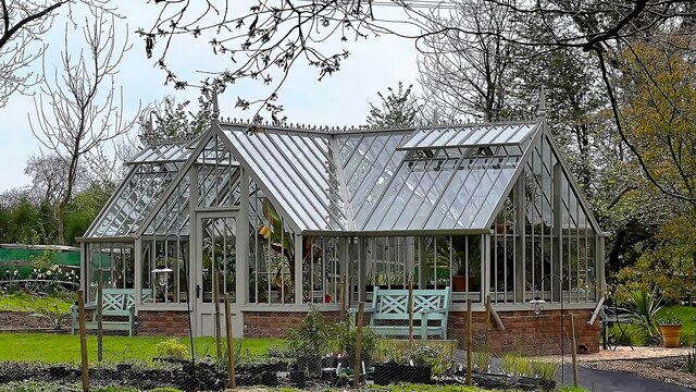
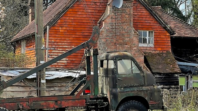
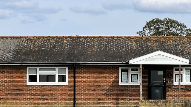
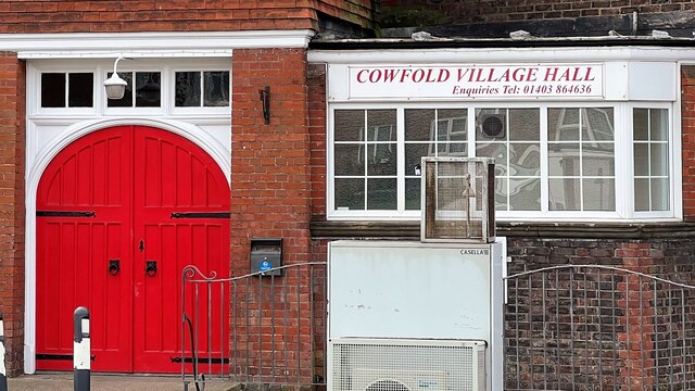
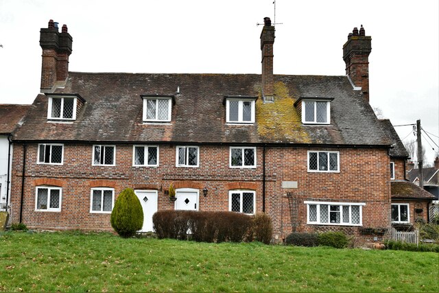
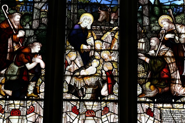
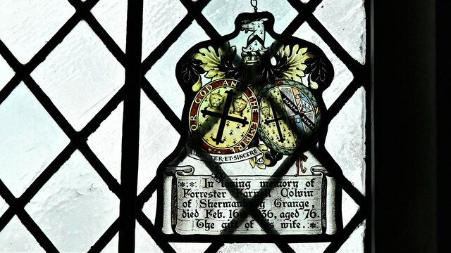
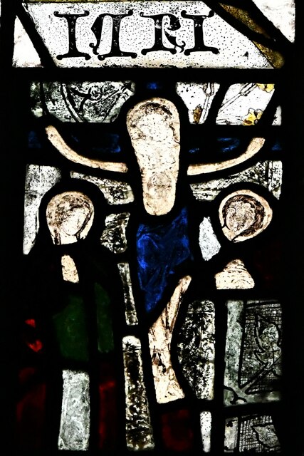
Ashurst Wood Images
Images are sourced within 2km of 50.991299/-0.2599011 or Grid Reference TQ2222. Thanks to Geograph Open Source API. All images are credited.


Ashurst Wood is located at Grid Ref: TQ2222 (Lat: 50.991299, Lng: -0.2599011)
Administrative County: West Sussex
District: Horsham
Police Authority: Sussex
What 3 Words
///brighter.exists.dwarf. Near Cowfold, West Sussex
Nearby Locations
Related Wikis

Cowfold
Cowfold is a village and civil parish between Billingshurst and Haywards Heath in the Horsham District of West Sussex, England. The village is at the intersection...

Crabtree, West Sussex
Crabtree is a hamlet in the parish of Lower Beeding and in Horsham District of West Sussex, England. It lies on the A281 road 4.4 miles (7.1 km) southeast...

St Hugh's Charterhouse
St Hugh's Charterhouse, Parkminster, is the only post-Reformation Carthusian monastery in the United Kingdom. It is located in the parish of Cowfold, West...

Colwood, West Sussex
Colwood is a village near Warninglid in West Sussex, England. It is the site of Colwood Manor. == References == The geographic coordinates are from the...

Leonardslee
Leonardslee is an English country house and English landscape garden and woodland garden in Lower Beeding, near Horsham, West Sussex, England. The Grade...
Wineham
Wineham is a hamlet mainly in the Shermanbury civil parish (and the same ecclesiastical parish) of the Horsham district of West Sussex, England. It is...

Maplehurst, West Sussex
Maplehurst is a hamlet in the civil parish of Nuthurst, and the Horsham District of West Sussex, England. The hamlet is on the Copsale to Nuthurst road...

West Grinstead railway station
West Grinstead was a railway station on the Steyning Line which served the village of West Grinstead. It had a goods yard with a cattle loading bay and...
Related Videos

1 How Many Bones in Your Spine
Talking about your spine, how it is made up and how to look after it. 33 bones in total, 3 sections, lots of long names! Pelvis has 3 ...

Dark Chocolate Fork Cookie Recipe | Cocoa Loco
This super simple cookie recipe has been a closely guarded secret until now! This is a recipe my mum taught me way before I ...
Nearby Amenities
Located within 500m of 50.991299,-0.2599011Have you been to Ashurst Wood?
Leave your review of Ashurst Wood below (or comments, questions and feedback).