Ashurst Rough
Wood, Forest in Sussex Horsham
England
Ashurst Rough
Ashurst Rough is a woodland area located in the county of Sussex, England. Situated in the southeast region of the country, specifically in the district of Horsham, Ashurst Rough is a charming forested area that covers a total land area of approximately 200 acres.
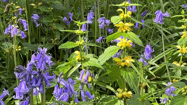
The woodland is primarily composed of a mix of broadleaf trees, including oak, beech, and ash, which create a diverse and vibrant ecosystem. The forest floor is covered in a thick carpet of moss, ferns, and wildflowers, providing a rich habitat for various species of flora and fauna.
Ashurst Rough is a popular destination for nature enthusiasts and outdoor enthusiasts alike. The woodland offers a network of well-maintained footpaths and trails, allowing visitors to explore its natural beauty at their own pace. The paths wind through the trees, over gentle slopes, and alongside a picturesque stream that meanders through the forest.
The woodland is also home to a variety of wildlife, including deer, foxes, badgers, and a wide range of bird species. Nature enthusiasts can often spot these creatures along the trails or in the quieter areas of the forest, making Ashurst Rough a haven for wildlife photography and birdwatching.
The forest is managed by local conservation organizations, ensuring its preservation and protection. Additionally, there are designated picnic areas and benches scattered throughout the woodland, providing visitors with the opportunity to relax and enjoy the peaceful surroundings.
In summary, Ashurst Rough in Sussex is a beautiful woodland retreat, offering a tranquil escape for those seeking to immerse themselves in nature. With its diverse flora and fauna, well-maintained trails, and serene atmosphere, it is a perfect destination for outdoor enthusiasts and nature lovers alike.
If you have any feedback on the listing, please let us know in the comments section below.
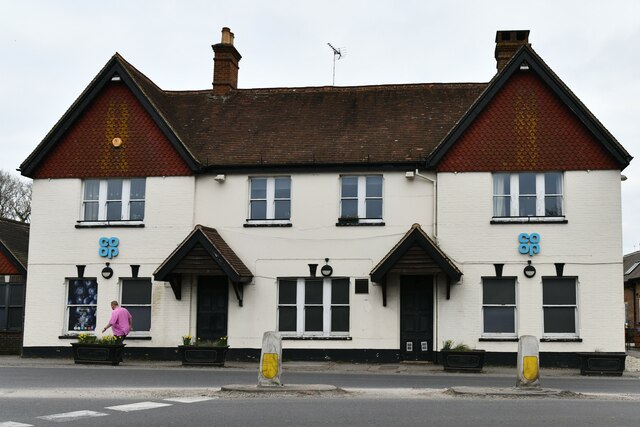
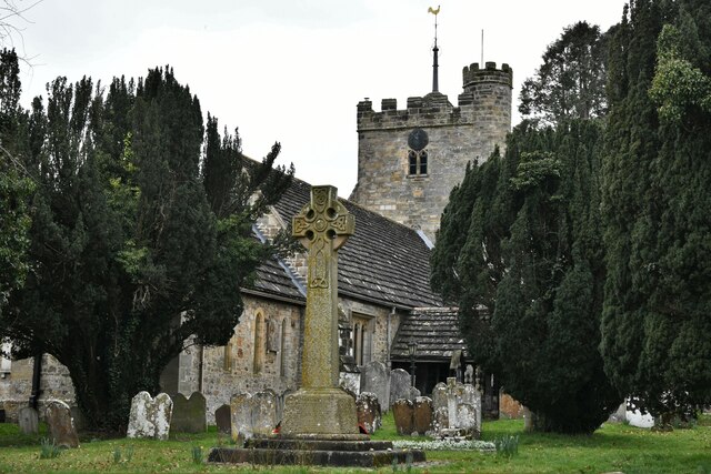
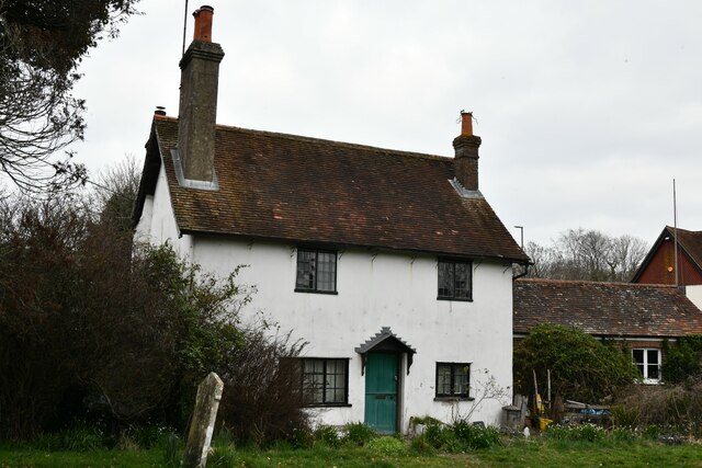
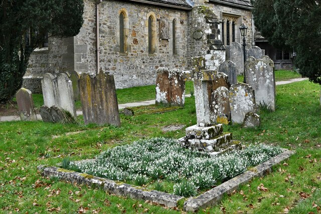
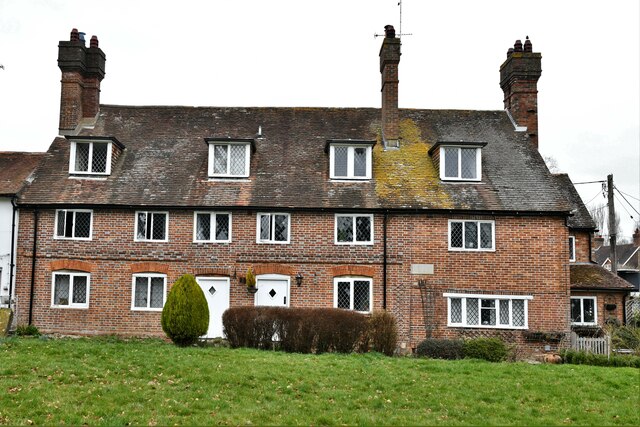
Ashurst Rough Images
Images are sourced within 2km of 50.993222/-0.25982916 or Grid Reference TQ2222. Thanks to Geograph Open Source API. All images are credited.


Ashurst Rough is located at Grid Ref: TQ2222 (Lat: 50.993222, Lng: -0.25982916)
Administrative County: West Sussex
District: Horsham
Police Authority: Sussex
What 3 Words
///beauty.downcast.beamed. Near Cowfold, West Sussex
Nearby Locations
Related Wikis

Cowfold
Cowfold is a village and civil parish between Billingshurst and Haywards Heath in the Horsham District of West Sussex, England. The village is at the intersection...

Crabtree, West Sussex
Crabtree is a hamlet in the parish of Lower Beeding and in Horsham District of West Sussex, England. It lies on the A281 road 4.4 miles (7.1 km) southeast...

Colwood, West Sussex
Colwood is a village near Warninglid in West Sussex, England. It is the site of Colwood Manor. == References == The geographic coordinates are from the...

St Hugh's Charterhouse
St Hugh's Charterhouse, Parkminster, is the only post-Reformation Carthusian monastery in the United Kingdom. It is located in the parish of Cowfold, West...

Leonardslee
Leonardslee is an English country house and English landscape garden and woodland garden in Lower Beeding, near Horsham, West Sussex, England. The Grade...
Wineham
Wineham is a hamlet mainly in the Shermanbury civil parish (and the same ecclesiastical parish) of the Horsham district of West Sussex, England. It is...

Maplehurst, West Sussex
Maplehurst is a hamlet in the civil parish of Nuthurst, and the Horsham District of West Sussex, England. The hamlet is on the Copsale to Nuthurst road...

West Grinstead railway station
West Grinstead was a railway station on the Steyning Line which served the village of West Grinstead. It had a goods yard with a cattle loading bay and...
Nearby Amenities
Located within 500m of 50.993222,-0.25982916Have you been to Ashurst Rough?
Leave your review of Ashurst Rough below (or comments, questions and feedback).