Agland Copse
Wood, Forest in Surrey Mole Valley
England
Agland Copse
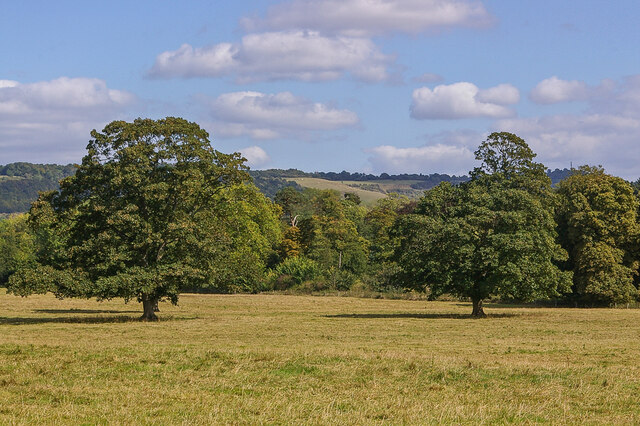
Agland Copse is a picturesque woodland located in Surrey, England. Covering an area of approximately 50 acres, it is known for its tranquil atmosphere and diverse range of flora and fauna. The copse is situated near the village of Agland, surrounded by rolling hills and meandering streams.
The woodland is primarily composed of deciduous trees, including oak, beech, and ash, which provide a vibrant display of colors during the autumn months. The dense canopy created by the trees creates a shaded and cool environment, perfect for leisurely walks or picnics on hot summer days.
Agland Copse is home to a variety of wildlife, including deer, foxes, and a multitude of bird species. Nature enthusiasts can often spot woodpeckers, nuthatches, and various migratory birds throughout the year. The copse also supports a diverse range of plant life, with bluebells carpeting the forest floor in the spring and wild garlic filling the air with its pungent aroma.
Visitors to Agland Copse can explore the numerous walking trails that crisscross the woodland, offering scenic views and opportunities for wildlife spotting. The copse is popular with both locals and tourists, attracting nature lovers, photographers, and families looking to reconnect with nature.
The management of Agland Copse is overseen by the local council, ensuring the preservation of its natural beauty and protection of its inhabitants. Access to the copse is free, and facilities such as parking and picnic areas are available nearby.
Overall, Agland Copse provides a peaceful and idyllic setting for those seeking a retreat from the hustle and bustle of everyday life, offering a unique opportunity to immerse oneself in the beauty of Surrey's woodlands.
If you have any feedback on the listing, please let us know in the comments section below.
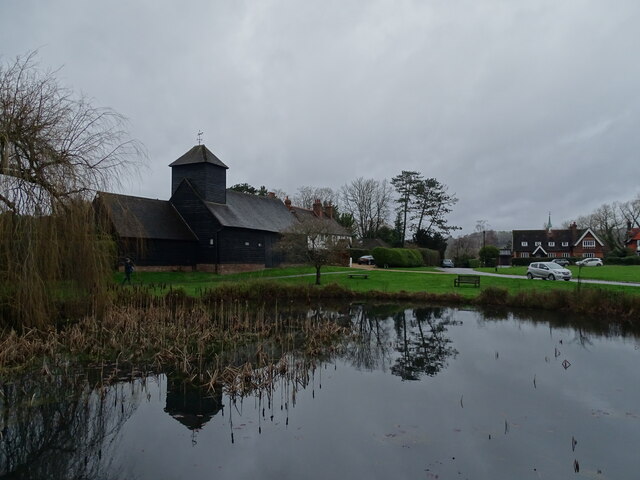
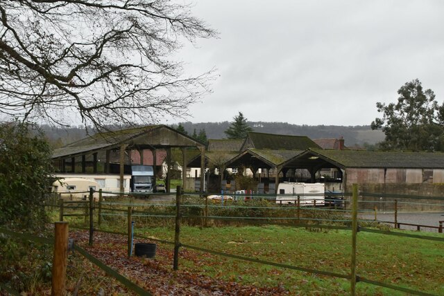
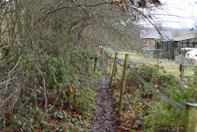
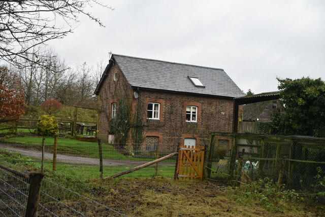
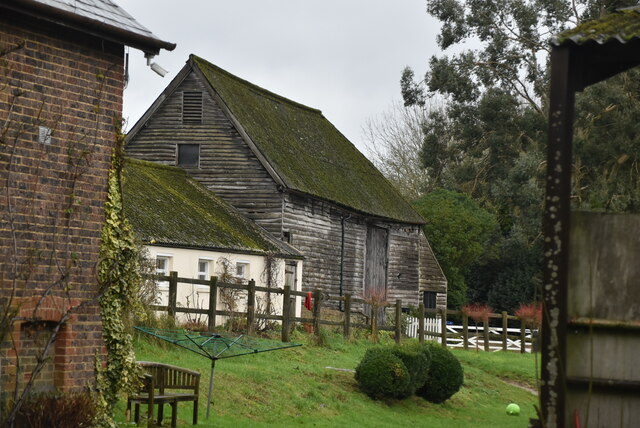
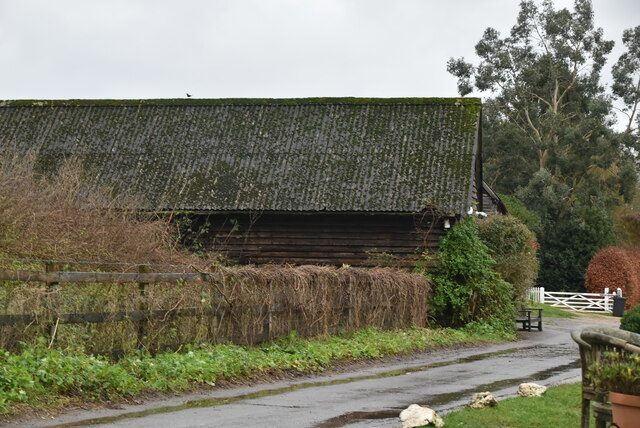
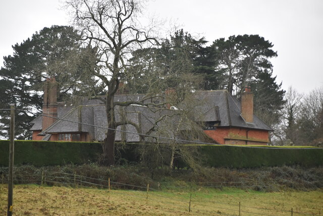
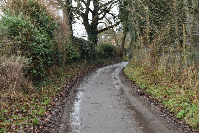
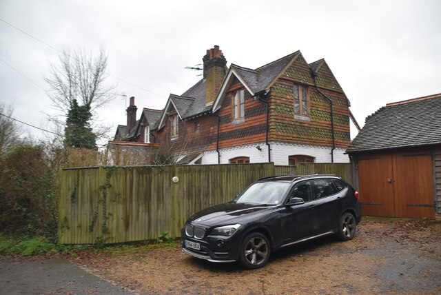
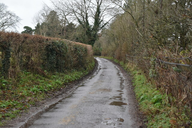
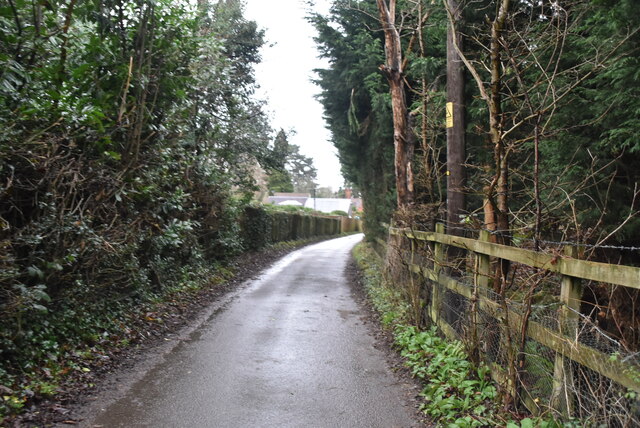
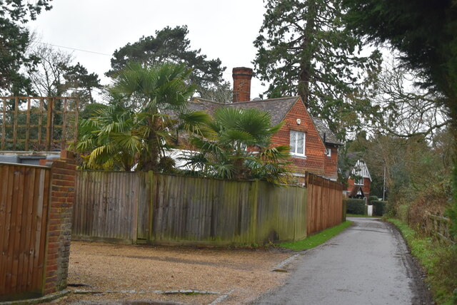
Agland Copse Images
Images are sourced within 2km of 51.229595/-0.25092799 or Grid Reference TQ2249. Thanks to Geograph Open Source API. All images are credited.

Agland Copse is located at Grid Ref: TQ2249 (Lat: 51.229595, Lng: -0.25092799)
Administrative County: Surrey
District: Mole Valley
Police Authority: Surrey
What 3 Words
///raft.broken.economies. Near Reigate, Surrey
Nearby Locations
Related Wikis

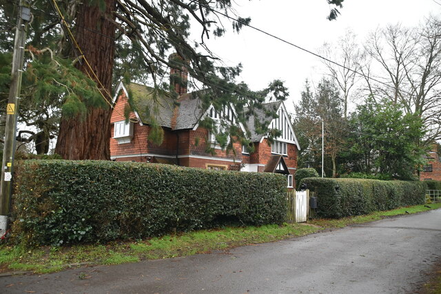
Betchworth
Betchworth is a village and civil parish in the Mole Valley district of Surrey, England. The village centre is on the north bank of the River Mole and...
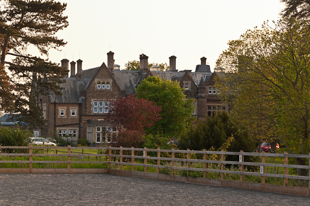
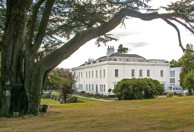
Hartsfield Manor
Hartsfield Manor is an early Victorian house of historical significance located in Betchworth, Surrey, England. It was built in the 1860s as a private...

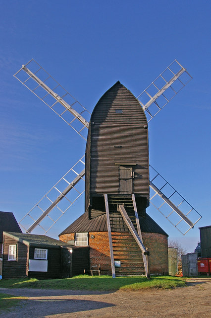
Buckland Windmill
Buckland Windmill is a grade II listed smock mill at Buckland, Surrey, England which has been restored to working order. It is the only surviving wind...
Reigate Heath Windmill
Reigate Heath Windmill is a grade II* listed post mill at Reigate Heath, Surrey, England which has been restored and is used as a chapel. It is thought...

Reigate Heath
Reigate Heath is a 61.7-hectare (152-acre) biological Site of Special Scientific Interest west of Reigate in Surrey. An area of 51.6 hectares (128 acres...
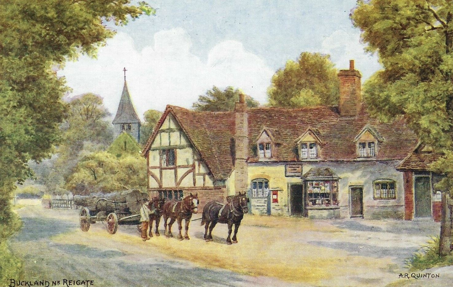
Buckland, Surrey
Buckland is a village and civil parish in the Mole Valley district of Surrey, England, between Dorking and Reigate, its nearest towns. The civil parish...
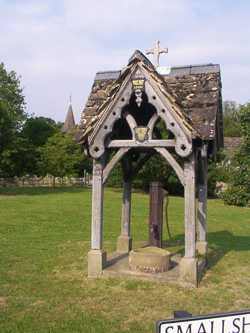
Leigh, Surrey
Leigh is a village and civil parish in Surrey, between Reigate, Dorking and Charlwood in the east of Mole Valley district. The village centre is suburban...

Moon Hall School
Moon Hall School, since 1952 an independent co-educational preparatory school at Leigh, near Reigate in Surrey, is currently, as of 2021, a special school...
Nearby Amenities
Located within 500m of 51.229595,-0.25092799Have you been to Agland Copse?
Leave your review of Agland Copse below (or comments, questions and feedback).