Brickyard Copse

Wood, Forest in Sussex Horsham

England

Brickyard Copse

The Dragon Public House, Colgate, West Sussex At one of the main crossroads of this small village. The pub is named after the dragon which was said to live in the nearby St. Leonards Forest.
The Dragon Public House, Colgate, West Sussex Credit: Pete Chapman

Brickyard Copse is a picturesque woodland located in the county of Sussex, England. Covering an area of approximately 50 acres, this charming copse is nestled amidst the rolling hills and valleys that typify the region.

Characterized by its dense canopy of mature trees, Brickyard Copse offers a tranquil escape from the hustle and bustle of daily life. The woodland is predominantly composed of native species such as oak, beech, and ash, which provide a rich habitat for a variety of wildlife. The forest floor is adorned with a carpet of wildflowers, including bluebells and primroses, adding a burst of color to the landscape during springtime.

Several well-maintained footpaths wind their way through the copse, inviting visitors to explore its natural beauty. These paths provide opportunities for leisurely walks, jogging, or simply immersing oneself in the serenity of nature. The woodland is also a popular spot for birdwatching, with species such as woodpeckers, nuthatches, and thrushes frequently spotted among the treetops.

In addition to its recreational appeal, Brickyard Copse holds historical significance. The name of the copse refers to its past use as a brick-making site, where clay was extracted and fired to produce bricks for construction. Although the brick-making activities have long ceased, remnants of this industrial heritage can still be found scattered throughout the woodland.

Overall, Brickyard Copse is a cherished natural gem in Sussex, offering visitors a chance to connect with nature, enjoy peaceful walks, and appreciate the rich biodiversity of the region.

If you have any feedback on the listing, please let us know in the comments section below.

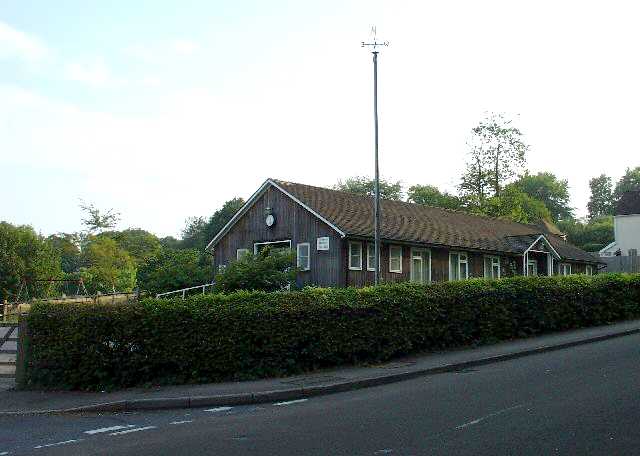
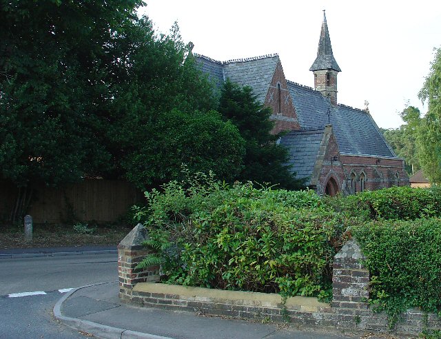
Brickyard Copse Images

Images are sourced within 2km of 51.079741/-0.25661364 or Grid Reference TQ2232. Thanks to Geograph Open Source API. All images are credited.

The Dragon Public House, Colgate, West Sussex At one of the main crossroads of this small village. The pub is named after the dragon which was said to live in the nearby St. Leonards Forest.
The Dragon Public House, Colgate, West Sussex
At one of the main crossroads of this small village. The pub is named after the dragon which was said to live in the nearby St. Leonards Forest.
The Cherry Tree Public House, Near Faygate, West Sussex. A wayside inn on the N side of the A264 dual carriageway
The Cherry Tree Public House, Near Faygate, West Sussex.
A wayside inn on the N side of the A264 dual carriageway
Faygate Station, Faygate, West Sussex Not pretty, but functional. The small village of Faygate is surprisingly industrial (easy access to the railway and main A264 road probably the reason) for its location and the station fits in with the theme. On the Line between Horsham and Crawley (London Victoria - Littlehampton/Bognor Regis)
Faygate Station, Faygate, West Sussex
Not pretty, but functional. The small village of Faygate is surprisingly industrial (easy access to the railway and main A264 road probably the reason) for its location and the station fits in with the theme. On the Line between Horsham and Crawley (London Victoria - Littlehampton/Bognor Regis)
Water Tower, Beacon Hill, Colgate, West Sussex This concrete water tower is built near to the highest point on Beacon Hill (146m above sea level). Colgate is situated on top of a long ridge of wealdland that stretches E-W between Pease Pottage and the outskirts of Horsham. Water pressure in the area would be quite low without the use of a water tower.
Water Tower, Beacon Hill, Colgate, West Sussex
This concrete water tower is built near to the highest point on Beacon Hill (146m above sea level). Colgate is situated on top of a long ridge of wealdland that stretches E-W between Pease Pottage and the outskirts of Horsham. Water pressure in the area would be quite low without the use of a water tower.
Forest Grange, in the heart of St Leonards Forest, Near Horsham, West Sussex Earlier maps (e.g. 1993) show this as the site of Forest Grange School. Later maps have dropped school from the name. It didn't looked like it was being used as a school at the time the picture was taken.
Forest Grange, in the heart of St Leonards Forest, Near Horsham, West Sussex
Earlier maps (e.g. 1993) show this as the site of Forest Grange School. Later maps have dropped school from the name. It didn't looked like it was being used as a school at the time the picture was taken.
Forestry Operations, St Leonards Forest, Near Horsham, West Sussex The forest is run by the Forestry Commission for commercial timber extraction. Here we see a lorry on the main access track (also a public bridleway) being loaded up with logs.
Forestry Operations, St Leonards Forest, Near Horsham, West Sussex
The forest is run by the Forestry Commission for commercial timber extraction. Here we see a lorry on the main access track (also a public bridleway) being loaded up with logs.
Gate house to the Holmbush estate, off A264, between Crawley and Horsham The gatehouse to the original main drive up to the house on the Holmwood estate.
Gate house to the Holmbush estate, off A264, between Crawley and Horsham
The gatehouse to the original main drive up to the house on the Holmwood estate.
Bridle Road To Bucks Head Through St Leonards Forest, West Sussex The start of the main route through the forest from near The Dragon pub. This is a public bridleway.
Bridle Road To Bucks Head Through St Leonards Forest, West Sussex
The start of the main route through the forest from near The Dragon pub. This is a public bridleway.
Ancient Boundary? Earthwall Adjacent to Bridleway Between Beacon Hill and the St Leonards Forest Bridleway Earthwalls are often found in forested areas an can signify the presence of a very old boundary line. They often feature distinctive trees (e.g. pollards, or yews). Here we see an earthwall in a beech wood. The public right of way (bridleway) runs close to and parallel to the earthwall for some way.
Ancient Boundary? Earthwall Adjacent to Bridleway Between Beacon Hill and the St Leonards Forest Bridleway
Earthwalls are often found in forested areas an can signify the presence of a very old boundary line. They often feature distinctive trees (e.g. pollards, or yews). Here we see an earthwall in a beech wood. The public right of way (bridleway) runs close to and parallel to the earthwall for some way.
Colgate Village Hall, Colgate, West Sussex This village hall is the centre for a lot of village life and is appropriately in the centre of the village! This particular hall building replaced one that was bombed during the second world war.
Colgate Village Hall, Colgate, West Sussex
This village hall is the centre for a lot of village life and is appropriately in the centre of the village! This particular hall building replaced one that was bombed during the second world war.
St Saviours Church, Colgate, West Sussex Centrally located in the village: almost opposite one of the two main road junctions; and near to the village hall. Brick built with a slate roof.
St Saviours Church, Colgate, West Sussex
Centrally located in the village: almost opposite one of the two main road junctions; and near to the village hall. Brick built with a slate roof.
Bridleway through Holmbush Forest, near Colgate, West Sussex This bridleway runs through Holmbush forest from Colgate to the main road between Crawley and Horsham (A264).
Bridleway through Holmbush Forest, near Colgate, West Sussex
This bridleway runs through Holmbush forest from Colgate to the main road between Crawley and Horsham (A264).
Woodsman's Hut, St Leonard's Forest. Forestry Commission Workshop.
Woodsman's Hut, St Leonard's Forest.
Forestry Commission Workshop.
Bus stop and road approaching Faygate northbound The bus stop hut has now been taken down after the car above managed to "park" itself within!
Bus stop and road approaching Faygate northbound
The bus stop hut has now been taken down after the car above managed to "park" itself within!
Junction of Grouse Road and Woodland Lane, Near Colgate, West Sussex Woodland Lane is a narrow metalled no through private road. A Post box is situated at the junction  to serve the needs of around a dozen dwellings along Woodland Lane.
Junction of Grouse Road and Woodland Lane, Near Colgate, West Sussex
Woodland Lane is a narrow metalled no through private road. A Post box is situated at the junction to serve the needs of around a dozen dwellings along Woodland Lane.
Entrance to Stone Edge Nurseries, Woodland Lane, near Colgate, West Sussex A small plant nursery in a very rural location, situated near the end of a dead end country lane.
Nursery on the N side of the Lane.
Entrance to Stone Edge Nurseries, Woodland Lane, near Colgate, West Sussex
A small plant nursery in a very rural location, situated near the end of a dead end country lane. Nursery on the N side of the Lane.
Woodland Lane, running through Barnsnap Wood A very quiet metalled lane (with grass growing up the middle!). Access to a few farms, a nursery and several private houses. View taken looking SW.
Woodland Lane, running through Barnsnap Wood
A very quiet metalled lane (with grass growing up the middle!). Access to a few farms, a nursery and several private houses. View taken looking SW.
"The Meadow", Roffey Park Institute, Forest Road, Colgate, West Sussex "The Meadow" is the name of the newest part of the Institute, opened in 2003. Roffey Park Institute is a management training centre. Details at <span class="nowrap"><a title="http://www.roffeypark.com/aboutroffey.html" rel="nofollow ugc noopener" href="http://www.roffeypark.com/aboutroffey.html">Link</a><img style="margin-left:2px;" alt="External link" title="External link - shift click to open in new window" src="https://s1.geograph.org.uk/img/external.png" width="10" height="10"/></span>
"The Meadow", Roffey Park Institute, Forest Road, Colgate, West Sussex
"The Meadow" is the name of the newest part of the Institute, opened in 2003. Roffey Park Institute is a management training centre. Details at LinkExternal link
Show me another place!

Brickyard Copse is located at Grid Ref: TQ2232 (Lat: 51.079741, Lng: -0.25661364)

Administrative County: West Sussex

District: Horsham

Police Authority: Sussex

What 3 Words

///dweller.slouched.cones. Near Bewbush, West Sussex

Related Wikis

Colgate, West Sussex

Colgate is a small village and civil parish in the Horsham district of West Sussex, England, about four miles (6 km) north east of Horsham. A small village...
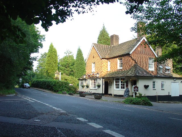
Faygate

Faygate is a village in the Horsham district of West Sussex, England. It lies on the A264 road 3.4 miles (5.4 km) south west of Crawley. It has a railway...

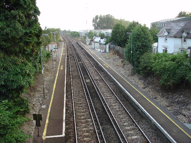
Faygate railway station

Faygate Station is located on the Arun Valley Line, between Littlehaven and Ifield, 34 miles 28 chains (55.3 km) down the line from London Bridge, measured...

St Leonard's Forest

St Leonard's Forest is at the western end of the Wealden Forest Ridge which runs from Horsham to Tonbridge, and is part of the High Weald Area of Outstanding...

Roffey Road Halt railway station

Roffey Road Halt is a now disused station on the Arun Valley Line in West Sussex, England and was the second station north from Horsham on the stretch...

Horsham and Crawley (UK Parliament constituency)

Horsham and Crawley was a parliamentary constituency centred on the towns of Horsham and Crawley in West Sussex. It returned one Member of Parliament...

Kilnwood Vale

Kilnwood Vale is part of the Horsham district of West Sussex, England. It borders the High Weald Area of Outstanding Natural Beauty along the A264 east...

North Horsham railway station

North Horsham is a proposed railway station in Horsham, West Sussex which would serve the North Horsham Business Park. The proposal was backed by West...

Nearby Amenities

Located within 500m of 51.079741,-0.25661364
Rookfield Farm
Naptan AtcoCode: 4400HR0574
Naptan Bearing: E
Naptan BusStopType: CUS
Naptan CommonName: Rookfield Farm
Naptan Indicator: adj
Naptan Landmark: Hail & Ride
Naptan NaptanCode: wsxdtmgt
Naptan Street: Forest Road
Naptan Verified: no
Source: naptan_import
Lat/Long: 51.0804896/-0.2595425
Beedingwood Farm
Place: farm
Lat/Long: 51.0801798/-0.2601852
White Herons Farm
Place: farm
Lat/Long: 51.0779131/-0.2544693
The data included in this document is from www.openstreetmap.org. The data is made available under ODbL.

Have you been to Brickyard Copse?

Leave your review of Brickyard Copse below (or comments, questions and feedback).