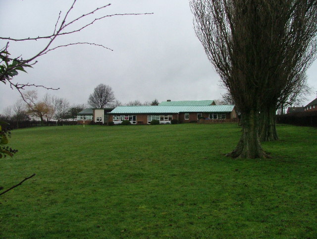
Margaret's Wood

Wood, Forest in Hertfordshire Stevenage

England

Margaret's Wood

Edge of Stevenage Taken from TL 237 268 looking towards Lister Hospital in the distance
Edge of Stevenage Credit: Paul Dixon

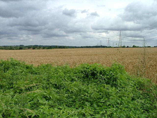
Margaret's Wood is a picturesque woodland located in Hertfordshire, England. Spanning over an area of approximately 50 acres, it is a popular destination for nature enthusiasts and those seeking tranquility amidst the beauty of the natural world. The wood is named after Margaret, a local resident who dedicated her life to the preservation and conservation of the area.

The woodland is predominantly composed of native broad-leaved trees, with oak, beech, and birch being the most prominent species. These trees create a dense canopy that provides shade and shelter to a variety of flora and fauna. The forest floor is adorned with a carpet of bluebells in spring, creating a breathtaking sight that attracts visitors from far and wide.

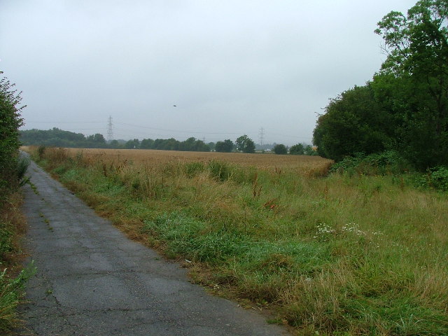
There are several well-maintained walking trails that meander through the wood, allowing visitors to explore its enchanting beauty at their own pace. The trails are clearly marked and suitable for all ages and abilities. Along the way, visitors may encounter an array of wildlife, including deer, foxes, and a multitude of bird species.

Margaret's Wood is also renowned for its conservation efforts. The local community, in collaboration with environmental organizations, actively works to protect the wood and its inhabitants. This includes regular tree planting initiatives and the creation of nesting boxes to encourage the presence of birds and other wildlife.

In conclusion, Margaret's Wood is a cherished natural gem in Hertfordshire, offering a serene and captivating experience for all who visit. With its diverse flora and fauna, well-maintained trails, and commitment to conservation, it is a testament to the beauty and importance of preserving our natural heritage.

If you have any feedback on the listing, please let us know in the comments section below.

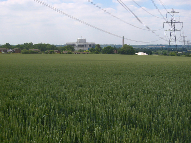
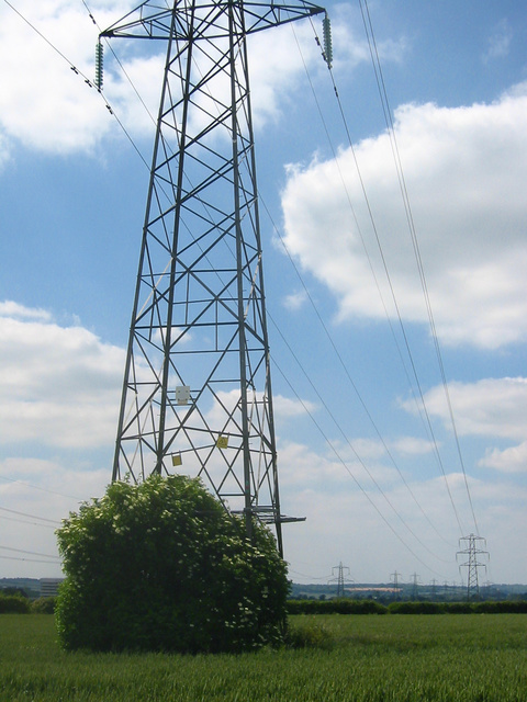
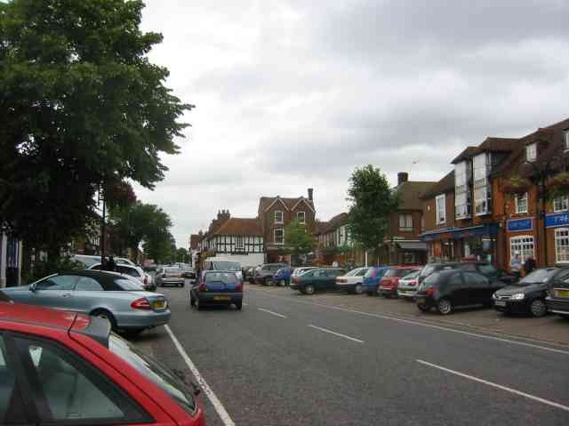
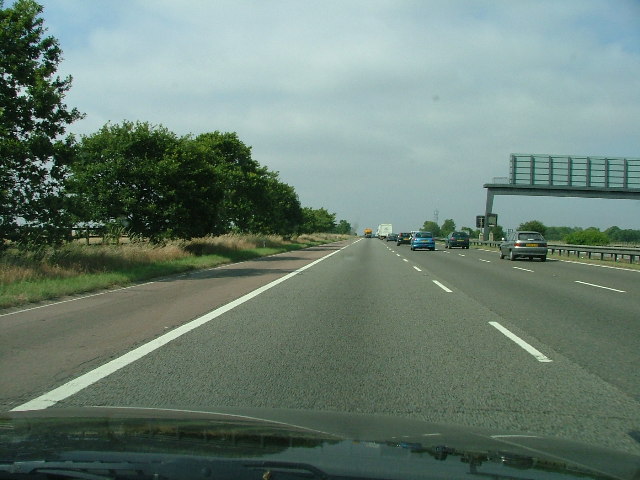
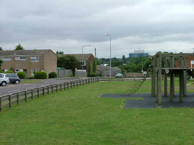
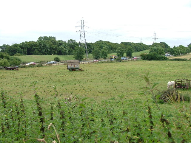
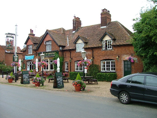
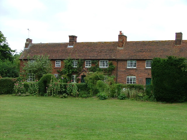
Margaret's Wood Images

Images are sourced within 2km of 51.925182/-0.22435275 or Grid Reference TL2226. Thanks to Geograph Open Source API. All images are credited.

Edge of Stevenage Taken from TL 237 268 looking towards Lister Hospital in the distance
Edge of Stevenage
Taken from TL 237 268 looking towards Lister Hospital in the distance
Graveley Pylons Taken from TL 239 270 between Graveley and Stevenage, this line of pylons is running towards Hitchin, although the one in the foreground seems to morphing into a tree!
Graveley Pylons
Taken from TL 239 270 between Graveley and Stevenage, this line of pylons is running towards Hitchin, although the one in the foreground seems to morphing into a tree!
Stevenage  Old Town Old towns suffer from the motor car especially when nose in parking is the rule
Stevenage Old Town
Old towns suffer from the motor car especially when nose in parking is the rule
A1(M) This really is the most interesting feature of this square, and the best thing to come out of Stevenage.
A1(M)
This really is the most interesting feature of this square, and the best thing to come out of Stevenage.
Scarborough Avenue playground. Taken from Scarborough Avenue playground, in the distance, past the houses, the Lister Hospital (TL2226) can be seen.
Scarborough Avenue playground.
Taken from Scarborough Avenue playground, in the distance, past the houses, the Lister Hospital (TL2226) can be seen.
A1(M) from Shangri  La Shangri La is actually the name of the Turkey farm just to the left of the place that the photograph was taken from.  Within a moment or two the horse to the left  spotted me and decided that I might be a good source of mints.
A1(M) from Shangri La
Shangri La is actually the name of the Turkey farm just to the left of the place that the photograph was taken from. Within a moment or two the horse to the left spotted me and decided that I might be a good source of mints.
Hermit of Redcoats at Titmore Green A well thought of local hostelry and restaurant.  I had considered submitting the duck pond the other side of the road but The Hermit is better known.
Hermit of Redcoats at Titmore Green
A well thought of local hostelry and restaurant. I had considered submitting the duck pond the other side of the road but The Hermit is better known.
Cottages in Great Wymondley These pretty old cottages are smack in the middle of this square in a small village with a lovely pub and (sadly) dried up duck pond.  The road through the village is used as a rat run by people travelling between the local towns in the mornings and evenings.
Cottages in Great Wymondley
These pretty old cottages are smack in the middle of this square in a small village with a lovely pub and (sadly) dried up duck pond. The road through the village is used as a rat run by people travelling between the local towns in the mornings and evenings.
Great Wymondley / Gravely Rd. This square is devoid of any features (although the OS have marked a"conduit" that is inaccessible to the public).  This road runs under the A1(M).
Great Wymondley / Gravely Rd.
This square is devoid of any features (although the OS have marked a"conduit" that is inaccessible to the public). This road runs under the A1(M).
Wymondley House Wymondley House has been converted into (very nice) apartments.
Wymondley House
Wymondley House has been converted into (very nice) apartments.
Ashbrook Ashbrook is really only a farm (which seems to have found space for a self store facility).  This photograph is taken facing north.
Ashbrook
Ashbrook is really only a farm (which seems to have found space for a self store facility). This photograph is taken facing north.
Grinders End, Gravely This photograph is taken from Grinders end looking towards the A1(M) photo for this square.  The gantry in the other photo is hidden just behind the bushes on the right.
Grinders End, Gravely
This photograph is taken from Grinders end looking towards the A1(M) photo for this square. The gantry in the other photo is hidden just behind the bushes on the right.
Lower Titmore Green This looks like a modern barn conversion to me.  Lower Titmore Green consists of about 6 houses.
Lower Titmore Green
This looks like a modern barn conversion to me. Lower Titmore Green consists of about 6 houses.
Wymondley Main Transforming Station It hums.  And there is a telephone mast.  And there is a sign that says "Danger of Death".
Wymondley Main Transforming Station
It hums. And there is a telephone mast. And there is a sign that says "Danger of Death".
St Mary's Church Little Wymondley. Tucked away and up a track, this charming little church needs a bit of money spent on it.  Some might need to be spent on soundproofing since it is really close to the main north-south line from Kings Cross.
St Mary's Church Little Wymondley.
Tucked away and up a track, this charming little church needs a bit of money spent on it. Some might need to be spent on soundproofing since it is really close to the main north-south line from Kings Cross.
Wymondley Baptist Church. Right on the main street through Little Wymondley.
Wymondley Baptist Church.
Right on the main street through Little Wymondley.
Little Wymondley - Railway bridge and street. This used to be the main Stevenage - Hitchin road.  There is now a bypass and as a result the village is much quieter.  This view is facing west down the street towards the railway bridge.
Little Wymondley - Railway bridge and street.
This used to be the main Stevenage - Hitchin road. There is now a bypass and as a result the village is much quieter. This view is facing west down the street towards the railway bridge.
Wymondley JMI School. The only school to serve the village.  Older children will go into Stevenage or Hitchin from here.
Wymondley JMI School.
The only school to serve the village. Older children will go into Stevenage or Hitchin from here.
Show me another place!

Margaret's Wood is located at Grid Ref: TL2226 (Lat: 51.925182, Lng: -0.22435275)

Administrative County: Hertfordshire

District: Stevenage

Police Authority: Hertfordshire

What 3 Words

///layers.vent.prefer. Near Stevenage, Hertfordshire

Related Wikis

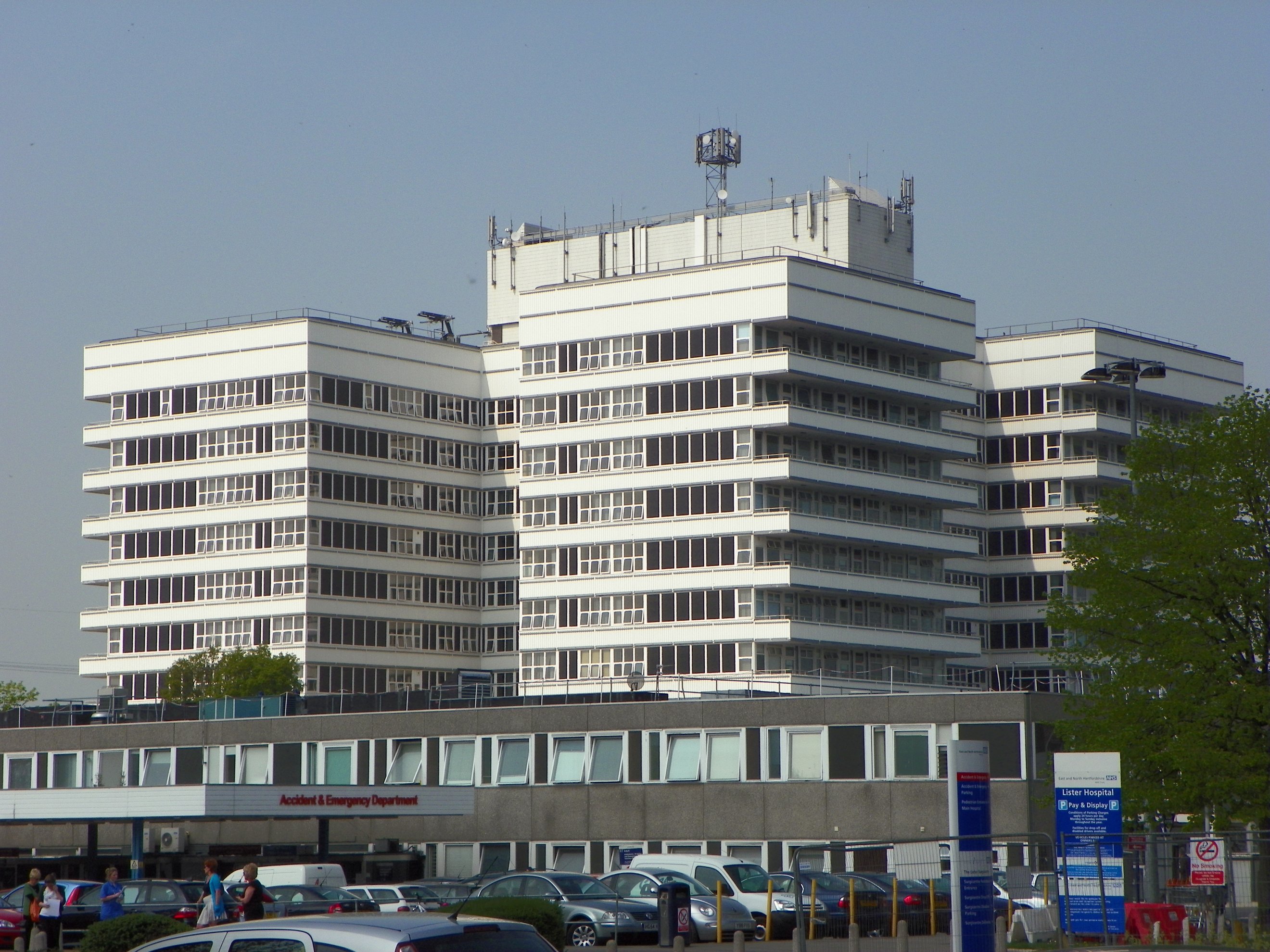
Lister Hospital, Stevenage

The Lister Hospital is an NHS hospital based on the outskirts of Stevenage in Hertfordshire. It is operated by the East and North Hertfordshire NHS Trust...

The Saint John Henry Newman Catholic School

The Saint John Henry Newman School is a Roman Catholic secondary school with academy status in Stevenage, Hertfordshire, England. In its most recent Ofsted...

Little Wymondley

Little Wymondley is a village and former civil parish situated between Hitchin and Stevenage, now in the parish of Wymondley, in the North Hertfordshire...

Wymondley College

Wymondley College was a dissenting academy at Wymondley House in Little Wymondley, Hertfordshire, England. Intended for the education of future nonconformist...
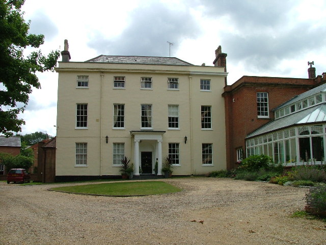
Wymondley House

Wymondley House is a building in the North Hertfordshire village of Little Wymondley that was built in 1724. At one time the home of a dissenting academy...

Symonds Green

Symonds Green is a neighbourhood within the English new town of Stevenage in Hertfordshire. Although predominantly a residential area with a mixture of...

Wymondley

Wymondley is a civil parish in Hertfordshire, England. The parish was created on 1 April 1937 as a merger of the two former parishes of Great Wymondley...

Graveley, Hertfordshire

Graveley is a village and civil parish about four miles east of Hitchin and two miles north of Stevenage in Hertfordshire, England. The population of the...

Nearby Amenities

Located within 500m of 51.925182,-0.22435275
Exit To: Luton Airport, Hitchin A602
Lat/Long: 51.9278678/-0.2207713
Traffic Signals
Lat/Long: 51.9250531/-0.2177322
Crossing
Button Operated: yes
Crossing: traffic_signals
Tactile Paving: yes
Lat/Long: 51.9248948/-0.2176774
Crossing
Button Operated: yes
Crossing: traffic_signals
Tactile Paving: yes
Lat/Long: 51.9248547/-0.2177962
Traffic Signals
Lat/Long: 51.9250427/-0.2178615
Sainsbury's Corey's Mill
Designation: 0434
Phone: +44 1438 759602
Shop: supermarket
Lat/Long: 51.9244882/-0.2196141
Traffic Signals
Lat/Long: 51.9282293/-0.2211112
Todds Green
Place: village
Lat/Long: 51.9227094/-0.2258098
Mini Roundabout
Direction: clockwise
Lat/Long: 51.9226305/-0.2260049
Mini Roundabout
Direction: clockwise
Lat/Long: 51.9247689/-0.2284145
Fuel
Sainsburys Corey's Mill PFS
Designation: PFS0097
Fuel Diesel: yes
Fuel Octane 95: yes
Operator: Sainsburys
Lat/Long: 51.9250311/-0.2189389
Power: tower
Source: observation and estimation
Lat/Long: 51.9279061/-0.2229009
Crossing
Crossing: unmarked
Kerb: lowered
Tactile Paving: no
Lat/Long: 51.9279757/-0.2210099
Crossing
Crossing: unmarked
Kerb: lowered
Tactile Paving: no
Lat/Long: 51.9282433/-0.2210519
Barrier: kissing_gate
Lat/Long: 51.9283322/-0.2292252
Crossing
Button Operated: yes
Crossing: traffic_signals
Tactile Paving: no
Lat/Long: 51.9250262/-0.2179957
Bus Stop
Chantry Lane
Bench: no
Bin: no
Lit: yes
Local Ref: NR
Naptan AtcoCode: 210021101560
Naptan Bearing: NW
Naptan CommonName: Chantry Lane
Naptan Indicator: nr
Naptan Landmark: Unknown
Naptan NaptanCode: hrtgjwmw
Naptan PlusbusZoneRef: STEVNGE
Naptan ShortCommonName: NA
Naptan Street: Stevenage Road
Naptan Verified: no
Shelter: no
Source: naptan_import
Tactile Paving: yes
Lat/Long: 51.9295261/-0.2255741
Bus Stop
Sainsbury's
Naptan AtcoCode: 210021200205
Naptan Bearing: W
Naptan CommonName: Sainsbury's
Naptan Crossing: Sainsbury's Store
Naptan Indicator: o/s
Naptan Landmark: Sainsbury's Store
Naptan NaptanCode: hrtgagwp
Naptan PlusbusZoneRef: STEVNGE
Naptan ShortCommonName: NA
Naptan Street: Corey's Mill
Naptan Verified: no
Source: naptan_import
Lat/Long: 51.9248248/-0.2185313
Bus Stop
Chantry Lane
Bench: no
Bin: no
Lit: yes
Naptan AtcoCode: 210021200210
Naptan Bearing: SE
Naptan CommonName: Chantry Lane
Naptan Indicator: opp
Naptan Landmark: Unknown
Naptan NaptanCode: hrtgagpm
Naptan PlusbusZoneRef: STEVNGE
Naptan ShortCommonName: NA
Naptan Street: Stevenage Road
Naptan Verified: no
Shelter: no
Source: naptan_import
Tactile Paving: yes
Lat/Long: 51.9292881/-0.2246962
Bus Stop
Baron Court
Naptan AtcoCode: 210021200215
Naptan Bearing: SW
Naptan CommonName: Baron Court
Naptan Crossing: Herne Road
Naptan Indicator: S-bound
Naptan Landmark: Herne Road
Naptan NaptanCode: hrtgagpt
Naptan PlusbusZoneRef: STEVNGE
Naptan ShortCommonName: NA
Naptan Street: Ingleside Drive
Naptan Verified: no
Source: naptan_import
Lat/Long: 51.9228979/-0.2183603
Post Box
Collection Times: Mo-Fr 17:30; Sa 12:15
Post Box Design: type_m
Post Box Type: lamp
Ref: SG1 115
Royal Cypher: EIIR
Royal Cypher Wikidata: Q33102113
Lat/Long: 51.923374/-0.226078
Power: tower
Source: observation and estimation
Lat/Long: 51.9279759/-0.2265698
Note: FIXME - estimated endpoint location
Power: tower
Source: Bing
Lat/Long: 51.9269783/-0.2265908
Traffic Calming: island
Lat/Long: 51.9221933/-0.2259526
Power: tower
Lat/Long: 51.9233387/-0.2300945
Traffic Signals
Lat/Long: 51.9274619/-0.2188275
Crossing
Crossing: unmarked
Kerb: lowered
Tactile Paving: no
Lat/Long: 51.9285413/-0.2208295
Traffic Signals
Lat/Long: 51.9276049/-0.218908
Crossing
Crossing: unmarked
Kerb: lowered
Tactile Paving: no
Lat/Long: 51.9286363/-0.2206711
Traffic Signals
Lat/Long: 51.9275476/-0.2206059
Traffic Signals
Lat/Long: 51.9281583/-0.2208907
Traffic Signals
Lat/Long: 51.927657/-0.2204117
Motorway Junction
Corey's Mill
Ref: 8
Lat/Long: 51.9252093/-0.2213476
Crossing
Crossing: unmarked
Kerb: lowered
Tactile Paving: no
Lat/Long: 51.9274482/-0.218803
Crossing
Crossing: unmarked
Kerb: lowered
Tactile Paving: no
Lat/Long: 51.9275377/-0.2186443
Crossing
Lat/Long: 51.9247301/-0.2189999
Crossing
Lat/Long: 51.9247162/-0.218928
Leisure: playground
Lat/Long: 51.9211214/-0.2220815
Fixme: Assuming this is a "red-light" camera I have made it part of an "enforcement" relation, not sure how to tag this item itself.
Lat/Long: 51.9253122/-0.2176479
Fixme: Assuming this is a "red-light" camera I have made it part of an "enforcement" relation, not sure how to tag this item itself.
Lat/Long: 51.9246704/-0.2178249
Waste Basket
Lat/Long: 51.9243131/-0.2178919
Barrier: cycle_barrier
Foot: yes
Lat/Long: 51.9242767/-0.2178587
Recycling
Recycling Glass: yes
Recycling Type: container
Lat/Long: 51.9243504/-0.2179912
Recycling
Recycling Paper: yes
Recycling Type: container
Lat/Long: 51.9243777/-0.2179523
The data included in this document is from www.openstreetmap.org. The data is made available under ODbL.

Have you been to Margaret's Wood?

Leave your review of Margaret's Wood below (or comments, questions and feedback).