Colgate
Civil Parish in Sussex Horsham
England
Colgate
Colgate is a civil parish located in the district of Horsham, West Sussex, England. It is situated approximately 30 miles south of London and is part of the historic county of Sussex. The parish covers an area of around 6 square miles and has a population of approximately 1,200 people.
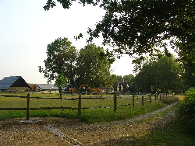
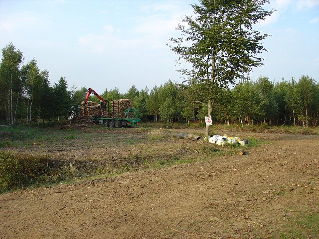
Colgate is a rural area characterized by its picturesque countryside and charming village atmosphere. The parish is surrounded by rolling hills, woodlands, and fields, offering residents and visitors a peaceful and idyllic setting. The area is well-known for its natural beauty and is popular among outdoor enthusiasts, offering numerous walking and cycling routes.
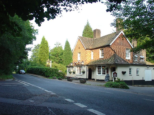
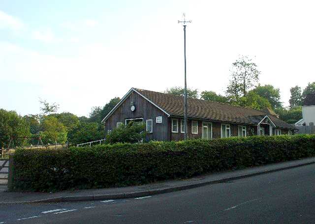
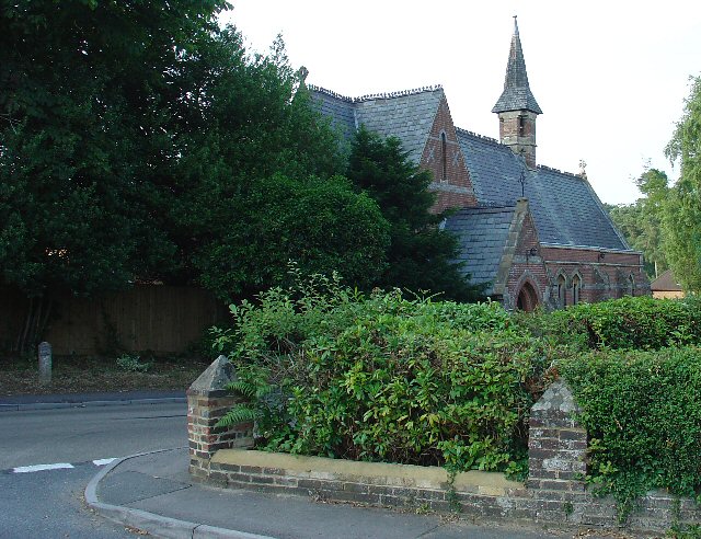
The village itself is small but has a strong sense of community. It features a local church, St. Saviour's, which dates back to the 12th century and is a prominent landmark in the area. There is also a village hall, which serves as a hub for various community activities and events.
Despite its rural location, Colgate benefits from good transport links. The nearby A264 road provides easy access to the neighboring towns and cities, including Horsham, Crawley, and Gatwick Airport. The village is also serviced by a regular bus service, connecting residents to the wider area.
Overall, Colgate, Sussex offers a peaceful countryside retreat with a strong community spirit. It is a place where residents can enjoy the tranquility of rural life while still having access to essential amenities and transport links to nearby towns and cities.
If you have any feedback on the listing, please let us know in the comments section below.
Colgate Images
Images are sourced within 2km of 51.077897/-0.252269 or Grid Reference TQ2232. Thanks to Geograph Open Source API. All images are credited.


Colgate is located at Grid Ref: TQ2232 (Lat: 51.077897, Lng: -0.252269)
Administrative County: West Sussex
District: Horsham
Police Authority: Sussex
What 3 Words
///husbands.nicknames.snores. Near Bewbush, West Sussex
Nearby Locations
Related Wikis

Colgate, West Sussex
Colgate is a small village and civil parish in the Horsham district of West Sussex, England, about four miles (6 km) north east of Horsham. A small village...

Faygate
Faygate is a village in the Horsham district of West Sussex, England. It lies on the A264 road 3.4 miles (5.4 km) south west of Crawley. It has a railway...

St Leonard's Forest
St Leonard's Forest is at the western end of the Wealden Forest Ridge which runs from Horsham to Tonbridge, and is part of the High Weald Area of Outstanding...
Horsham and Crawley (UK Parliament constituency)
Horsham and Crawley was a parliamentary constituency centred on the towns of Horsham and Crawley in West Sussex. It returned one Member of Parliament...

Faygate railway station
Faygate Station is located on the Arun Valley Line, between Littlehaven and Ifield, 34 miles 28 chains (55.3 km) down the line from London Bridge, measured...
Kilnwood Vale
Kilnwood Vale is part of the Horsham district of West Sussex, England. It borders the High Weald Area of Outstanding Natural Beauty along the A264 east...

Roffey Road Halt railway station
Roffey Road Halt is a now disused station on the Arun Valley Line in West Sussex, England and was the second station north from Horsham on the stretch...

Buchan Hill Ponds
Buchan Hill Ponds is a 19.5-hectare (48-acre) biological Site of Special Scientific Interest on the south-west outskirts of Crawley in West Sussex.This...
Nearby Amenities
Located within 500m of 51.077897,-0.252269Have you been to Colgate?
Leave your review of Colgate below (or comments, questions and feedback).