Sefton Plantation
Wood, Forest in Hertfordshire Welwyn Hatfield
England
Sefton Plantation

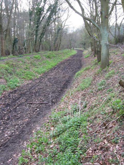
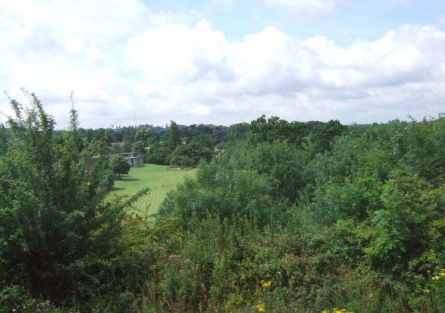
Sefton Plantation is a historic woodland located in Hertfordshire, England. Situated in the southern part of the county, it covers an area of approximately 100 acres, making it one of the largest woodlands in the region. The plantation is known for its beautiful and diverse array of trees, including oak, beech, ash, and birch.
The woodland has a rich history, dating back several centuries. It was originally part of an estate owned by the Sefton family, who were prominent landowners in the area. The plantation was carefully managed by the family, with trees being periodically harvested for timber and new saplings planted to ensure the sustainability of the woodland.
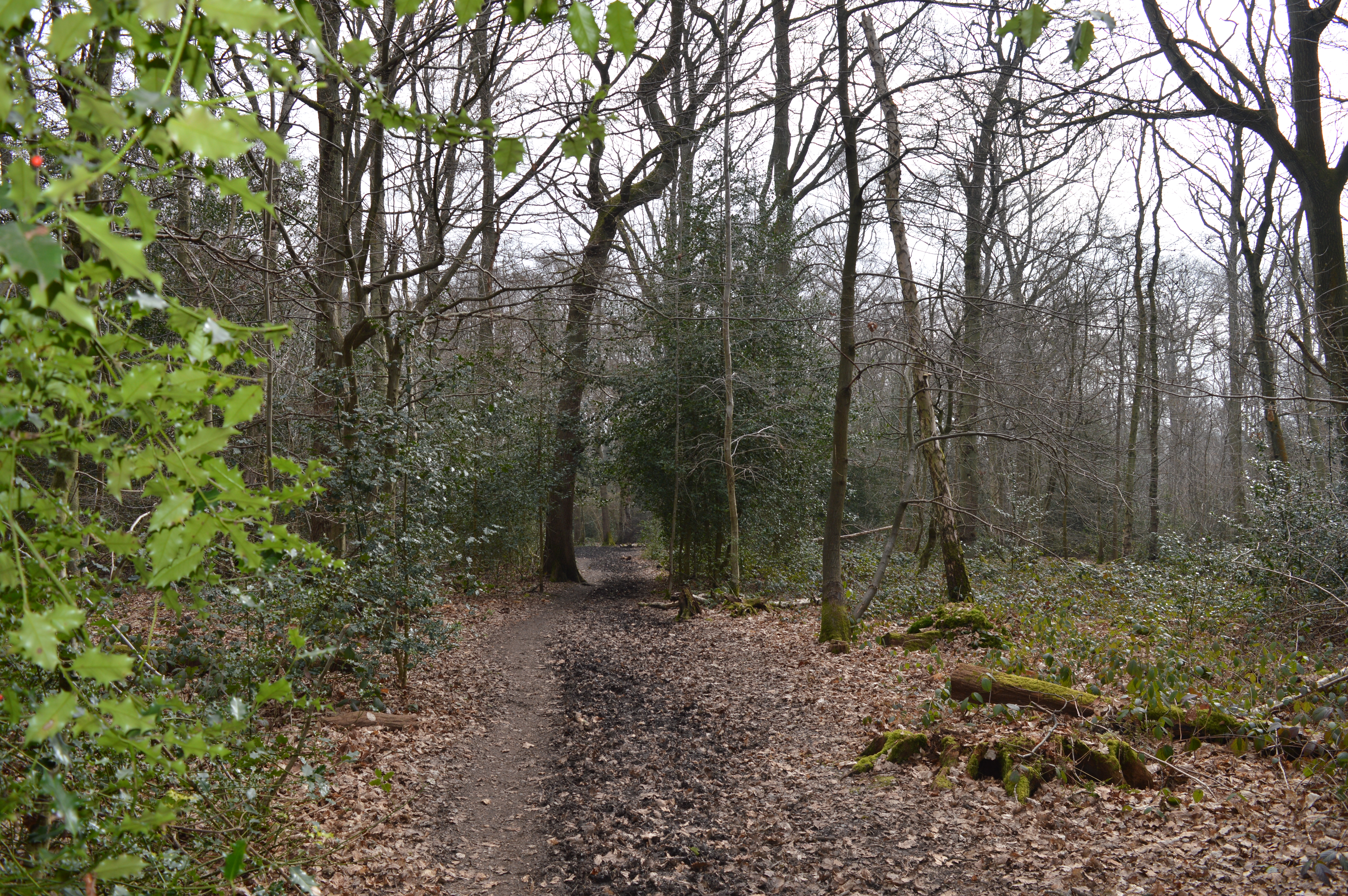
Today, Sefton Plantation is a popular destination for nature enthusiasts and hikers. It offers a network of well-maintained trails that wind through the woodland, providing visitors with the opportunity to explore its natural beauty and observe the local wildlife. The woodland is home to a variety of bird species, including woodpeckers, owls, and thrushes, as well as small mammals such as squirrels and rabbits.
The plantation also serves as an important habitat for many rare and protected species of flora and fauna. It is a designated Site of Special Scientific Interest (SSSI), recognized for its ecological value and contribution to biodiversity conservation.
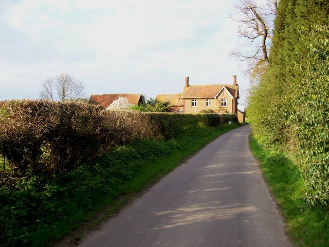
In addition to its natural significance, Sefton Plantation is also of historical and cultural importance. The remnants of an old manor house can still be found within the woodland, offering glimpses into the area's past.
Overall, Sefton Plantation in Hertfordshire is a cherished natural and historical gem, offering visitors a unique and enriching experience in the heart of the English countryside.
If you have any feedback on the listing, please let us know in the comments section below.
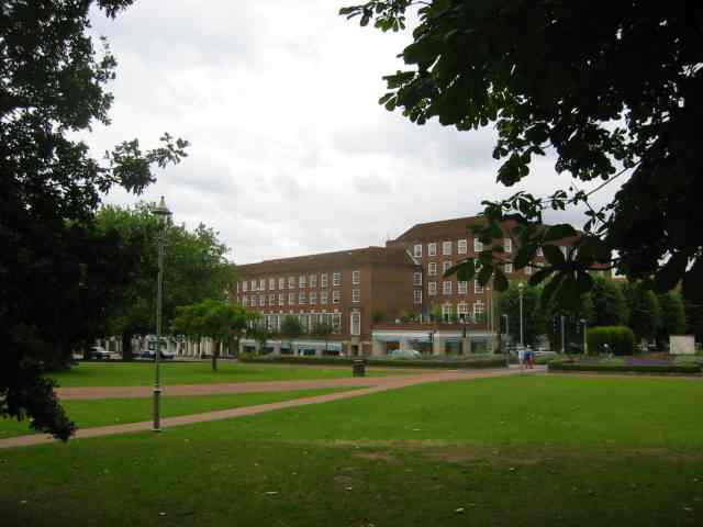
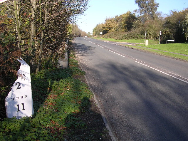
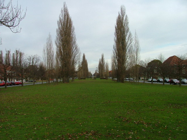
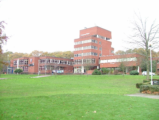
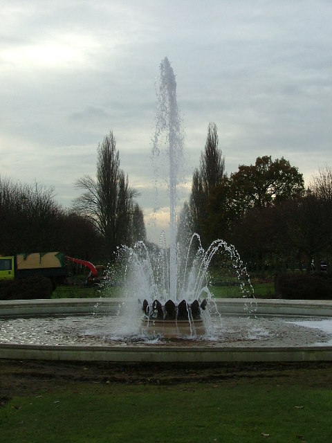
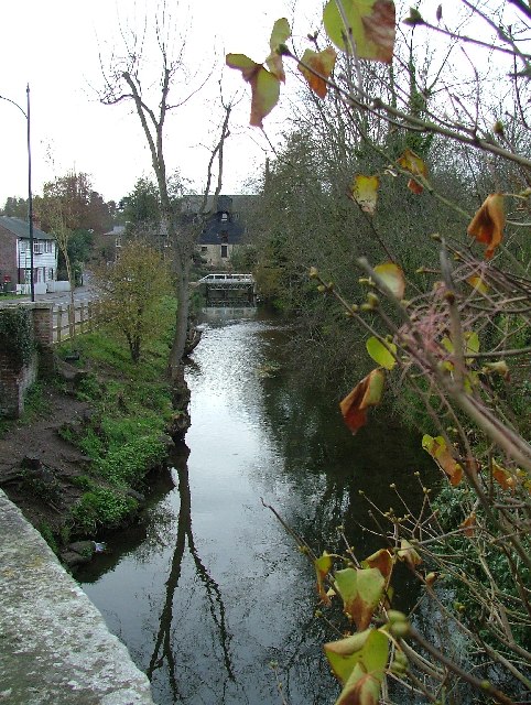
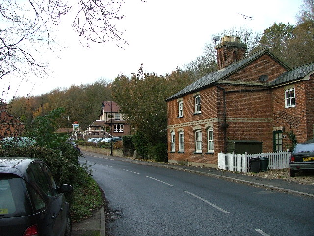
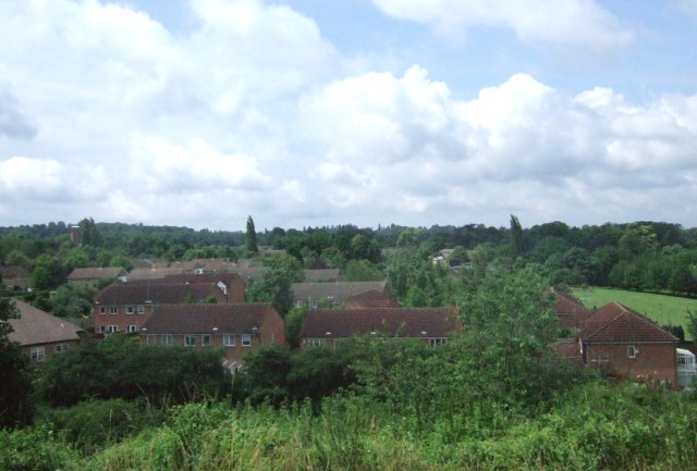
Sefton Plantation Images
Images are sourced within 2km of 51.810846/-0.21812964 or Grid Reference TL2213. Thanks to Geograph Open Source API. All images are credited.


Sefton Plantation is located at Grid Ref: TL2213 (Lat: 51.810846, Lng: -0.21812964)
Administrative County: Hertfordshire
District: Welwyn Hatfield
Police Authority: Hertfordshire
What 3 Words
///lodge.oddly.comet. Near Welwyn Garden City, Hertfordshire
Nearby Locations
Related Wikis
Sherrardspark Wood
Sherrardspark Wood (grid reference TL230139) is a 74.9 hectares (185 acres) biological site of Special Scientific Interest in Welwyn Garden City, Hertfordshire...
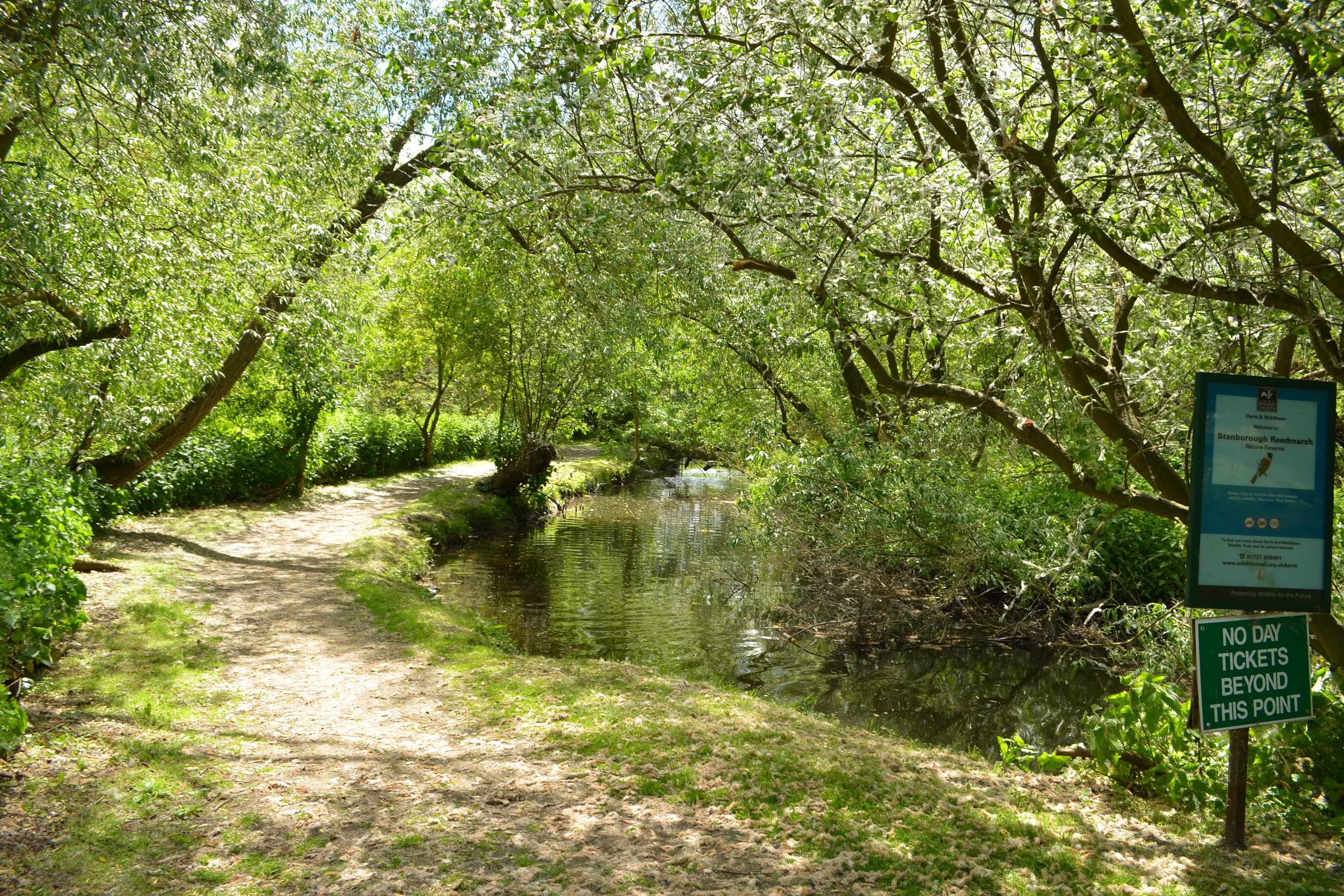
Stanborough Reedmarsh
Stanborough Reedmarsh is a 3.3 hectare Local Nature Reserve in Welwyn Garden City in Hertfordshire. It is owned by Welwyn Hatfield Borough Council and...
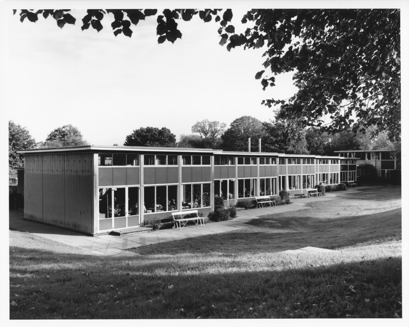
Templewood Primary School
Templewood Primary School is a primary school in Pentley Park, Welwyn Garden City, Hertfordshire, England. It is one of a number of modernist schools commissioned...
Hertfordshire
Hertfordshire ( HART-fərd-sheer or -shər; often abbreviated Herts) is a ceremonial county in the East of England and one of the home counties. It borders...
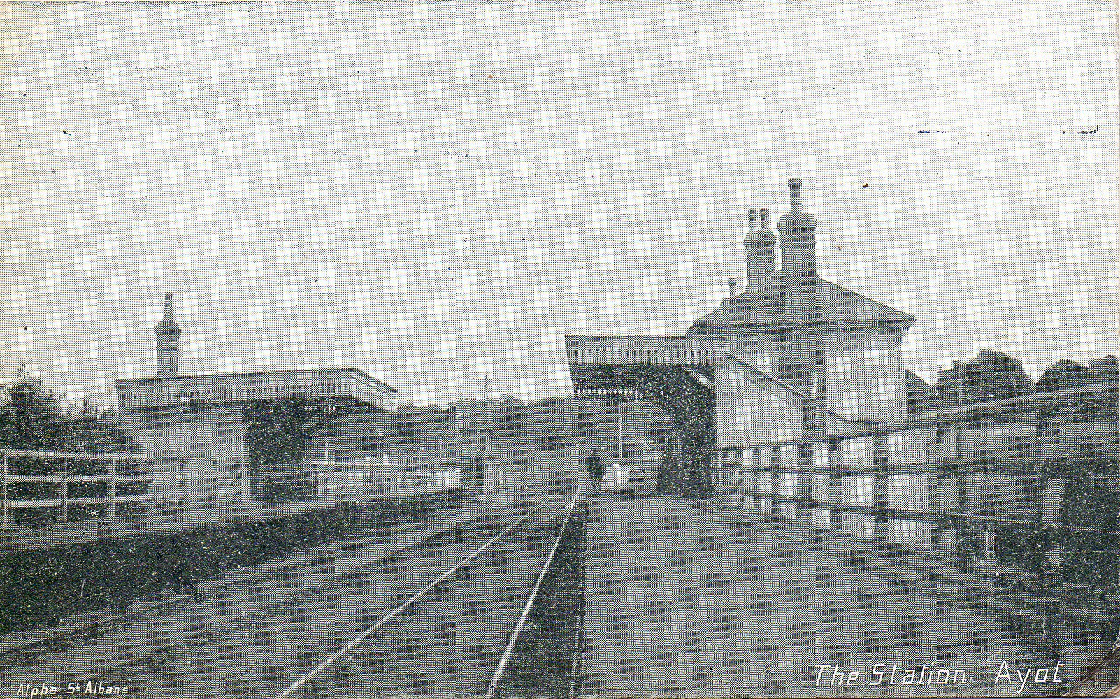
Ayot railway station
Ayot was a railway station serving Ayot St Peter near Welwyn Garden City in Hertfordshire, England. It was on the branch line to Dunstable. == History... ==

Station IX
Station IX (formerly known as the Inter-Services Research Bureau) was a secret British Special Operations Executive factory making special weapons and...
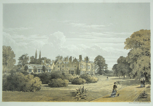
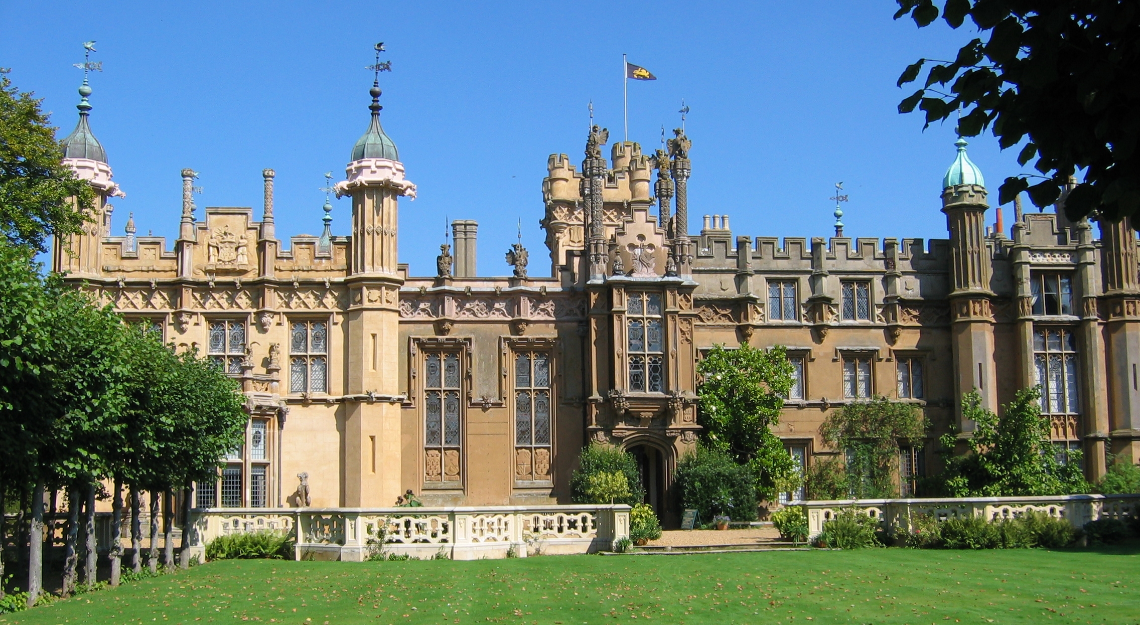
The Frythe
The Frythe is a country house set in its own grounds in rural Hertfordshire, just south of the village of Welwyn, about 30 miles north of London. ��2...
Monk's Walk School
Monk's Walk School is a secondary school with academy status located on the outskirts of Welwyn Garden City, Hertfordshire, England. It opened in 1964...
Nearby Amenities
Located within 500m of 51.810846,-0.21812964Have you been to Sefton Plantation?
Leave your review of Sefton Plantation below (or comments, questions and feedback).