High Broomin Wood
Wood, Forest in Hertfordshire North Hertfordshire
England
High Broomin Wood
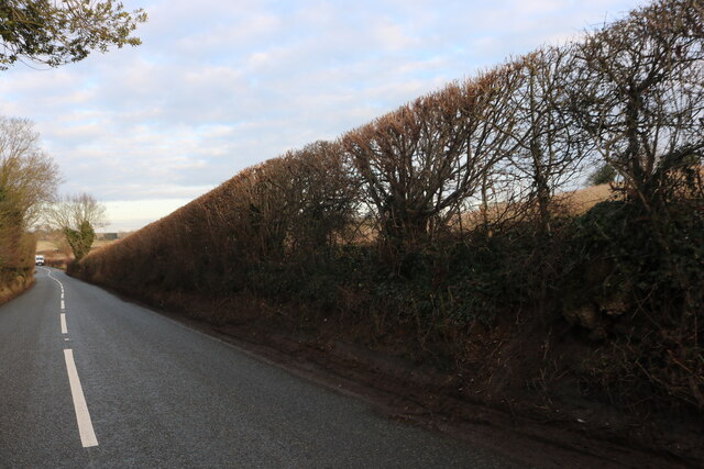
High Broomin Wood is a picturesque woodland located in Hertfordshire, England. Spread across a vast area, this enchanting forest is renowned for its natural beauty and diverse ecosystem. The wood is situated in close proximity to the town of Hertford and is easily accessible, making it a popular destination for nature enthusiasts and hikers.
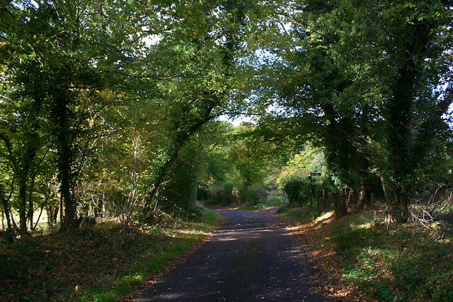
High Broomin Wood is characterized by its dense canopy of towering trees, which provide shelter to a wide variety of flora and fauna. The woodland consists predominantly of native British species such as oak, beech, and birch trees, creating a stunning landscape that changes with the seasons. In spring, the forest floor is carpeted with vibrant bluebells and wildflowers, while in autumn, the trees don their brilliant hues of red, orange, and gold.
The wood is home to numerous species of wildlife, including deer, foxes, badgers, and a rich variety of birdlife. Birdwatchers can spot species like woodpeckers, owls, and nuthatches among the branches. The tranquil atmosphere of High Broomin Wood provides an ideal habitat for these creatures, promoting biodiversity and conservation efforts.
Visitors to High Broomin Wood can explore the well-maintained network of walking trails that crisscross the woodland. These paths cater to all levels of fitness and offer breathtaking views of the surrounding countryside. The wood is also equipped with picnic areas and benches, allowing visitors to relax and immerse themselves in the peaceful surroundings.
High Broomin Wood offers a welcome respite from the hustle and bustle of city life, inviting individuals to reconnect with nature and enjoy the serenity of the forest.
If you have any feedback on the listing, please let us know in the comments section below.
High Broomin Wood Images
Images are sourced within 2km of 51.899657/-0.23049032 or Grid Reference TL2123. Thanks to Geograph Open Source API. All images are credited.

High Broomin Wood is located at Grid Ref: TL2123 (Lat: 51.899657, Lng: -0.23049032)
Administrative County: Hertfordshire
District: North Hertfordshire
Police Authority: Hertfordshire
What 3 Words
///soda.terms.prove. Near Stevenage, Hertfordshire
Nearby Locations
Related Wikis

Langley, Hertfordshire
Langley is a hamlet and civil parish in the non-metropolitan district of North Hertfordshire and county of Hertfordshire. The population was 175 in the...

Symonds Green
Symonds Green is a neighbourhood within the English new town of Stevenage in Hertfordshire. Although predominantly a residential area with a mixture of...

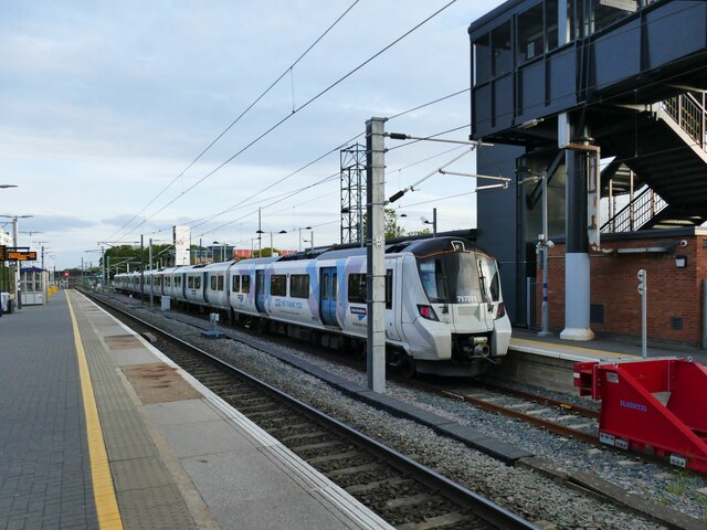
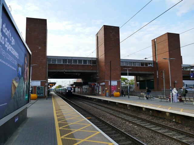
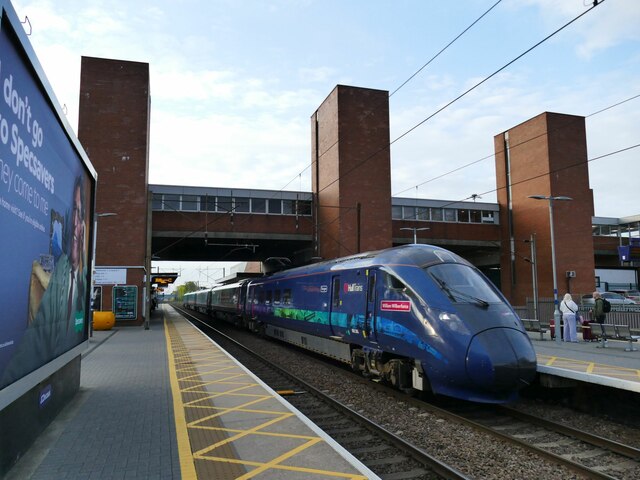
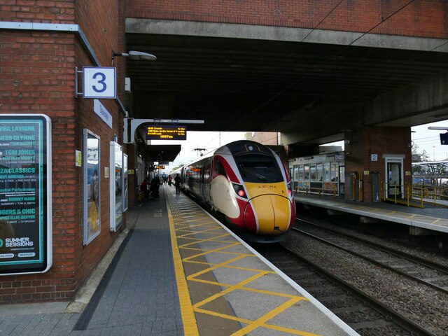
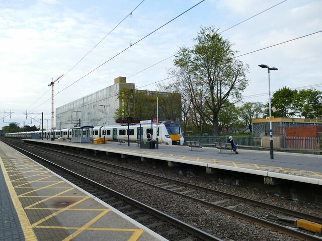
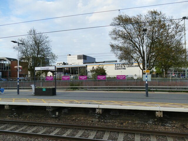
Stevenage railway station
Stevenage railway station serves the town of Stevenage in Hertfordshire, England. The station is around 44.4 kilometres (27.6 miles) north of London King...

Knebworth Woods
Knebworth Woods is a 120.8-hectare (299-acre) biological Site of Special Scientific Interest in Knebworth, immediately south of Stevenage in Hertfordshire...
Nearby Amenities
Located within 500m of 51.899657,-0.23049032Have you been to High Broomin Wood?
Leave your review of High Broomin Wood below (or comments, questions and feedback).