Rushgreen Wood

Wood, Forest in Hertfordshire North Hertfordshire

England

Rushgreen Wood

Whitwell Road near St Paul's Walden
Whitwell Road near St Paul's Walden Credit: David Howard

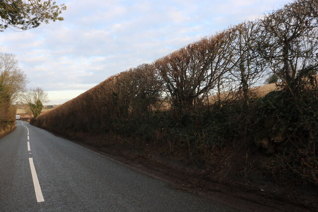
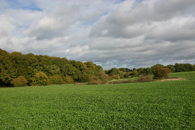
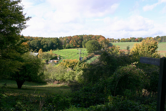
Rushgreen Wood is a picturesque woodland located in Hertfordshire, England. Stretching over an area of approximately 50 acres, it is a popular destination for nature enthusiasts, hikers, and birdwatchers alike. The wood is situated in close proximity to the village of Hertingfordbury, adding to its accessibility.

The wood is predominantly composed of broad-leaved trees, including oak, beech, and ash, creating a diverse and captivating landscape throughout the year. The dense canopy provides shade and shelter for an array of flora and fauna, making it an ideal habitat for various species.

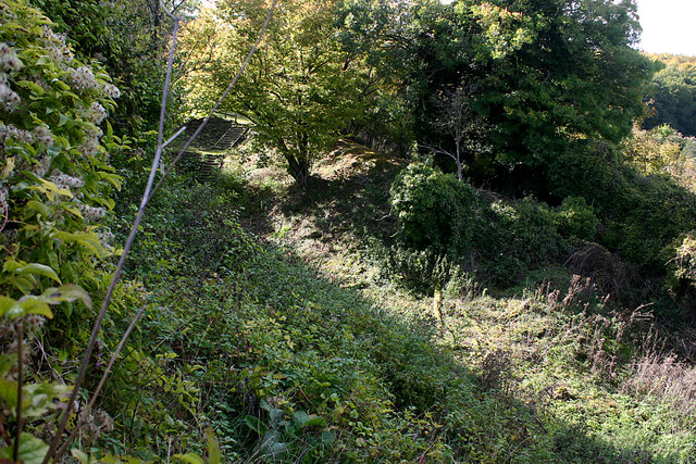
Tranquil pathways wind their way through the wood, offering visitors the opportunity to immerse themselves in the natural beauty and serenity of the surroundings. These paths are well-maintained, making it accessible to individuals of all ages and abilities.

Rushgreen Wood is particularly renowned for its bird population, attracting avid birdwatchers from far and wide. Species such as woodpeckers, nuthatches, and great tits can be spotted among the trees, while the occasional sighting of rarer birds adds to the appeal.

The wood also boasts a vibrant undergrowth, with bluebells carpeting the forest floor in spring, creating a spectacular display of color. In addition, a variety of fungi can be found, adding to the wood's charm and ecological significance.

Overall, Rushgreen Wood offers a delightful escape from the hustle and bustle of everyday life, providing a tranquil haven for nature lovers to explore and appreciate the beauty of Hertfordshire's woodlands.

If you have any feedback on the listing, please let us know in the comments section below.

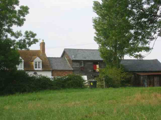
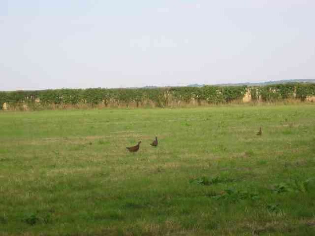
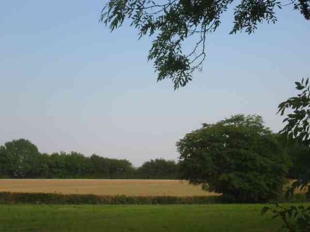
Rushgreen Wood Images

Images are sourced within 2km of 51.896984/-0.23690328 or Grid Reference TL2123. Thanks to Geograph Open Source API. All images are credited.

Whitwell Road near St Paul's Walden
Minsden Chapel, Langley The chapel has been recently restored and the vegetation around and within it cleared. This shows its three remaining walls, the east wall having now collapsed.
Minsden Chapel, Langley
The chapel has been recently restored and the vegetation around and within it cleared. This shows its three remaining walls, the east wall having now collapsed.
Minsden Chapel, Langley The chapel has been recently restored and the vegetation around and within it cleared. This shows the south and west walls.
Minsden Chapel, Langley
The chapel has been recently restored and the vegetation around and within it cleared. This shows the south and west walls.
Minsden Chapel, Langley The chapel has been recently restored and the vegetation around and within it cleared. The picture was taken from the north-east corner of the site.
Minsden Chapel, Langley
The chapel has been recently restored and the vegetation around and within it cleared. The picture was taken from the north-east corner of the site.
Langley Lane, Langley (Herts) Looking in the direction of the B651.
Langley Lane, Langley (Herts)
Looking in the direction of the B651.
Farmland adjacent to Hitch Wood, Langley (Herts) Taken from the footpath from the B651 (left but hidden) to Langley End.
Farmland adjacent to Hitch Wood, Langley (Herts)
Taken from the footpath from the B651 (left but hidden) to Langley End.
Sign to Hill End Chalk Pit, Langley (Herts) The former chalk pit is now a nature reserve. The site once had SSSI status on account of the fossiliferous content of the Chalk but is now overgrown.
Sign to Hill End Chalk Pit, Langley (Herts)
The former chalk pit is now a nature reserve. The site once had SSSI status on account of the fossiliferous content of the Chalk but is now overgrown.
Hill End Chalk Pit, Langley (Herts) The former chalk pit is now a nature reserve. The site once had SSSI status on account of the fossiliferous content of the Chalk but is now overgrown.
Hill End Chalk Pit, Langley (Herts)
The former chalk pit is now a nature reserve. The site once had SSSI status on account of the fossiliferous content of the Chalk but is now overgrown.
Painted House at Norton Green Norton Green is a small hamlet clinging to the western edge of the New Town of Stevenage but separated by the A1(M). Despite this the place retains a quiet rural atmosphere.
Painted House at Norton Green
Norton Green is a small hamlet clinging to the western edge of the New Town of Stevenage but separated by the A1(M). Despite this the place retains a quiet rural atmosphere.
Warehouse on Crompton Rd This industrial estate consists of small units and this one could be any of them.  A hundred yards behind me when I took this photograph is the A1(M), but you wouldn't know it from here and a couple of hundred yards further than that is an old Roman road.
Warehouse on Crompton Rd
This industrial estate consists of small units and this one could be any of them. A hundred yards behind me when I took this photograph is the A1(M), but you wouldn't know it from here and a couple of hundred yards further than that is an old Roman road.
Road signpost at  Easthall When three roads have only two destinations life can get tedious unless one has a map
Road signpost at Easthall
When three roads have only two destinations life can get tedious unless one has a map
Stackyard with machinery at Easthall The straw bale stack on the right has new straw, whereas the far stack looks like it is of rolled hay
Stackyard with machinery at Easthall
The straw bale stack on the right has new straw, whereas the far stack looks like it is of rolled hay
Tyres put for a purpose.  Easthall These tyres are on the roadside {therefore litter} but will hopefully be used in the silage pit on the opposite side of the road.
Tyres put for a purpose. Easthall
These tyres are on the roadside {therefore litter} but will hopefully be used in the silage pit on the opposite side of the road.
Farmyard in Langley
Farmyard in Langley
Driver covering up the combine harvester Langley
Shilley Green Farm Some of the signposts nearby have been adapted to 
delete the "h"
Shilley Green Farm
Some of the signposts nearby have been adapted to delete the "h"
Hen Pheasants on grass is this a farming activity?
Hen Pheasants on grass
is this a farming activity?
Shilley Green Farm is over to the right The block is almost all farmland
Shilley Green Farm is over to the right
The block is almost all farmland
Show me another place!

Rushgreen Wood is located at Grid Ref: TL2123 (Lat: 51.896984, Lng: -0.23690328)

Administrative County: Hertfordshire

District: North Hertfordshire

Police Authority: Hertfordshire

What 3 Words

///damage.translated.dimes. Near Stevenage, Hertfordshire

Related Wikis

Langley, Hertfordshire

Langley is a hamlet and civil parish in the non-metropolitan district of North Hertfordshire and county of Hertfordshire. The population was 175 in the...

Hill End Pit

Hill End Pit (also called Hill End Farm Pit or Hitch Wood Pit) is a 0.7-hectare (1.7-acre) nature reserve on the site of a former chalk pit, in St Paul...

Knebworth Woods

Knebworth Woods is a 120.8-hectare (299-acre) biological Site of Special Scientific Interest in Knebworth, immediately south of Stevenage in Hertfordshire...
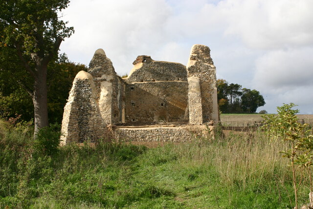
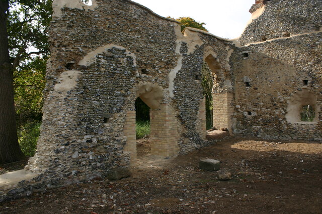
Minsden Chapel

Minsden Chapel is an isolated ruined chapel in the fields above the hamlet of Chapelfoot, near Preston, Hertfordshire. Today it is a roofless shell, partly...

Symonds Green

Symonds Green is a neighbourhood within the English new town of Stevenage in Hertfordshire. Although predominantly a residential area with a mixture of...

Stevenage railway station

Stevenage railway station serves the town of Stevenage in Hertfordshire, England. The station is around 44.4 kilometres (27.6 miles) north of London King...

Stevenage Mail Centre

Stevenage mail centre was a Royal Mail mail centre in Stevenage, Hertfordshire, England. In 2010, Royal Mail announced that a number of sorting offices...

Six Hills

The Six Hills are a collection of Roman barrows situated alongside the old Great North Road on Six Hills Common in Stevenage, Hertfordshire, England....

Nearby Amenities

Located within 500m of 51.896984,-0.23690328
Landuse: farm
Note Retag: CS #48756035
Lat/Long: 51.8984567/-0.2421899
Rush Green Motors
Building: yes
Landuse: commercial
Lat/Long: 51.8972824/-0.2418279
Post Box
Collection Times: Mo-Fr 17:00; Sa 09:00
Note: Inside grounds of Rush Green Motors.
Post Box Type: lamp
Ref: SG4 68
Lat/Long: 51.8971368/-0.2418091
The data included in this document is from www.openstreetmap.org. The data is made available under ODbL.

Have you been to Rushgreen Wood?

Leave your review of Rushgreen Wood below (or comments, questions and feedback).