Limekiln Copse
Wood, Forest in Sussex Horsham
England
Limekiln Copse

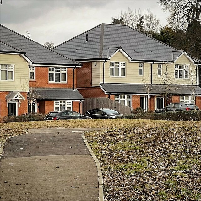
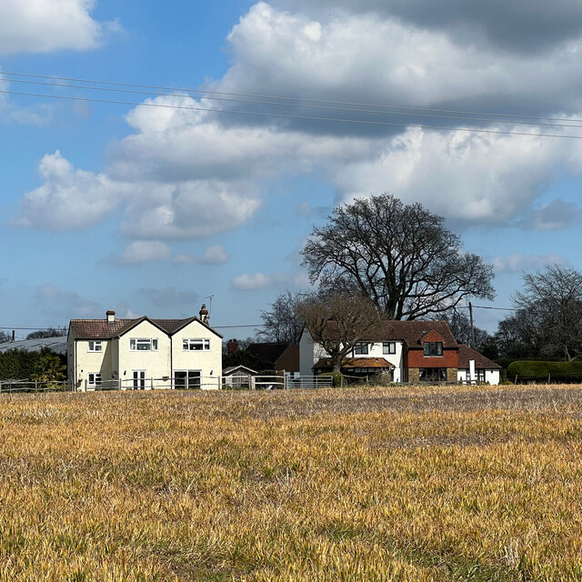
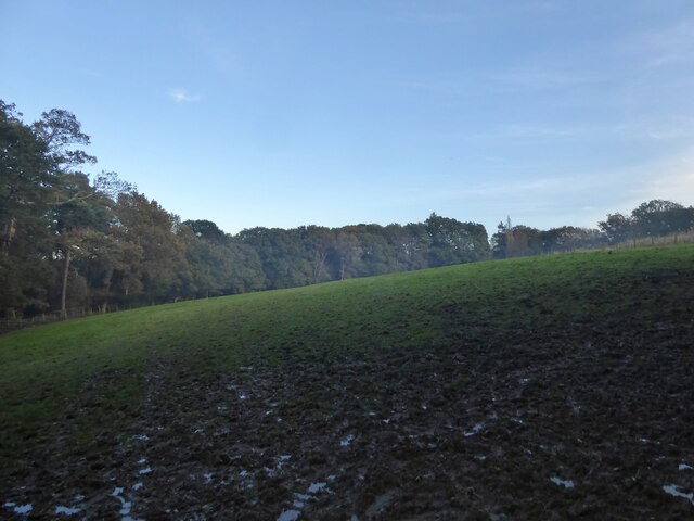
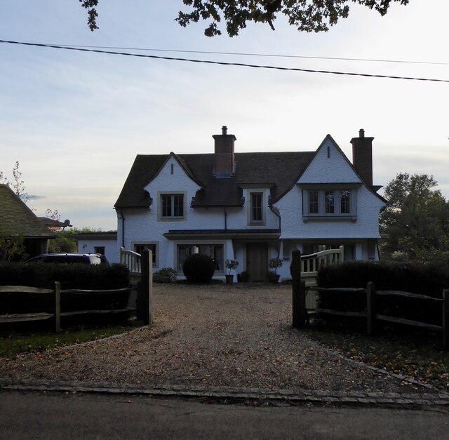
Limekiln Copse is a picturesque woodland located in Sussex, England. Situated in the heart of the South Downs National Park, this enchanting forest covers an area of approximately 50 acres. The copse is named after the historic lime kiln that can still be found within its boundaries, serving as a reminder of the area's industrial past.
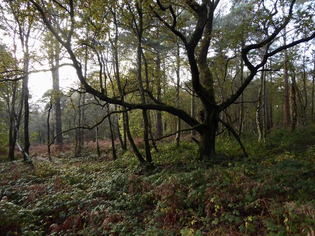
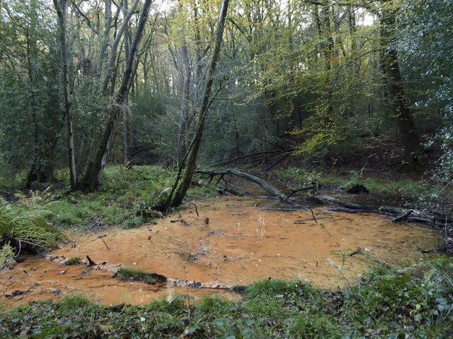
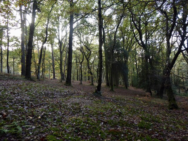
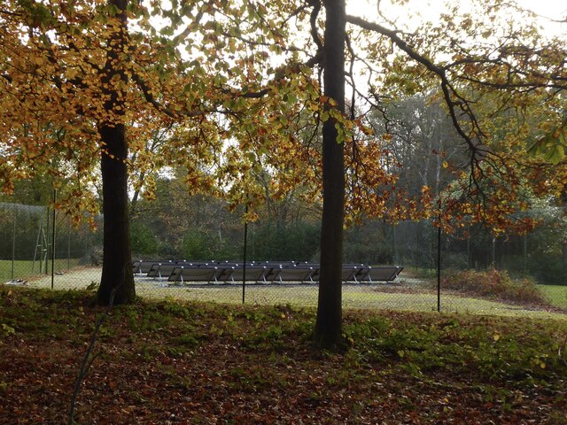
Characterized by its dense and diverse vegetation, Limekiln Copse offers a haven for nature enthusiasts. The forest is predominantly composed of broadleaf trees, such as oak, beech, and ash, creating a vibrant and colorful landscape throughout the changing seasons. The woodland floor is adorned with a rich array of wildflowers, providing a delightful display of colors and scents.
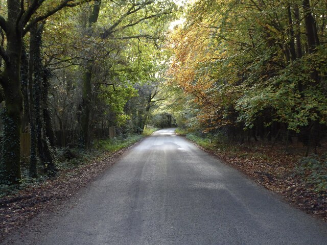
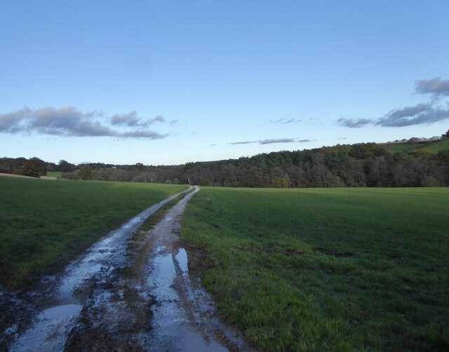
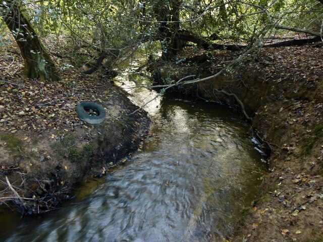
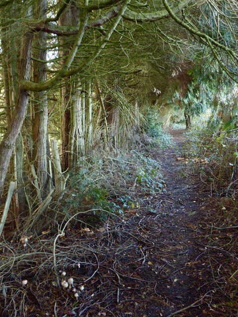
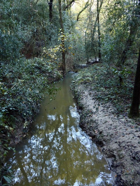
The copse is crisscrossed with a network of winding footpaths, allowing visitors to explore and immerse themselves in its natural beauty. These trails lead to various points of interest, including a small stream that meanders through the woodland, adding to the tranquility and charm of the area.
Limekiln Copse is a haven for wildlife, with an abundance of bird species, including woodpeckers, robins, and thrushes, making it a popular destination for birdwatchers. It is also home to a diverse range of mammals, such as foxes, badgers, and rabbits.
This woodland gem offers a peaceful escape from the hustle and bustle of everyday life, providing a serene and idyllic setting for visitors to relax, unwind, and appreciate the wonders of nature. Whether it is a leisurely stroll, a picnic, or simply enjoying the sights and sounds of the forest, Limekiln Copse is a true natural treasure.
If you have any feedback on the listing, please let us know in the comments section below.
Limekiln Copse Images
Images are sourced within 2km of 51.044724/-0.26944108 or Grid Reference TQ2128. Thanks to Geograph Open Source API. All images are credited.


Limekiln Copse is located at Grid Ref: TQ2128 (Lat: 51.044724, Lng: -0.26944108)
Administrative County: West Sussex
District: Horsham
Police Authority: Sussex
What 3 Words
///dare.broom.processor. Near Horsham, West Sussex
Nearby Locations
Related Wikis

Mannings Heath Golf & Wine Estate
Mannings Heath Golf & Wine Estate is located in Mannings Heath, Horsham in the south of England. The 500 acre parkland site includes two golf courses and...

Mannings Heath
Mannings Heath is a village in the civil parish of Nuthurst and the Horsham District of West Sussex, England. The village is on the A281 road, 2 miles...

St Leonard's Forest SSSI
St Leonard's Forest SSSI is an 85.4-hectare (211-acre) biological Site of Special Scientific Interest east of Horsham in West Sussex. The SSSI is in two...

Lower Beeding
Lower Beeding is a village and civil parish in the Horsham District of West Sussex, England. The village lies on the B2110, B2115 and A281 roads 3.5 miles...

Monk's Gate
Monk's Gate is a hamlet in the civil parish of Nuthurst, in the Horsham District of West Sussex, England. It lies on the A281 road 3 miles (5 km) southeast...

Newells Preparatory School
Newells Preparatory School came to Lower Beeding, Sussex, in 1946. It has been at Handcross and known as Handcross Park School since 1968. It merged with...

St Leonard's Forest
St Leonard's Forest is at the western end of the Wealden Forest Ridge which runs from Horsham to Tonbridge, and is part of the High Weald Area of Outstanding...

St Leonard's Park Ponds
St Leonard's Park Ponds is a 3.9-hectare (9.6-acre) biological Site of Special Scientific Interest east of Horsham in West Sussex.These ponds and adjacent...
Nearby Amenities
Located within 500m of 51.044724,-0.26944108Have you been to Limekiln Copse?
Leave your review of Limekiln Copse below (or comments, questions and feedback).