Langley Bottom

Settlement in Hertfordshire North Hertfordshire

England

Langley Bottom

Hitch Wood
Hitch Wood Credit: David Howard

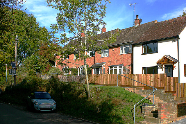
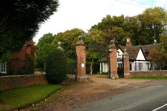
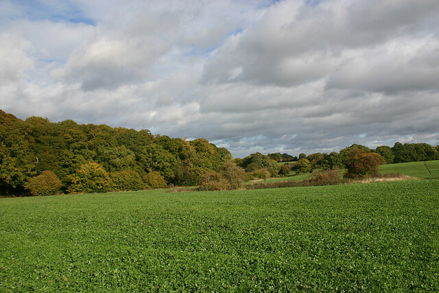
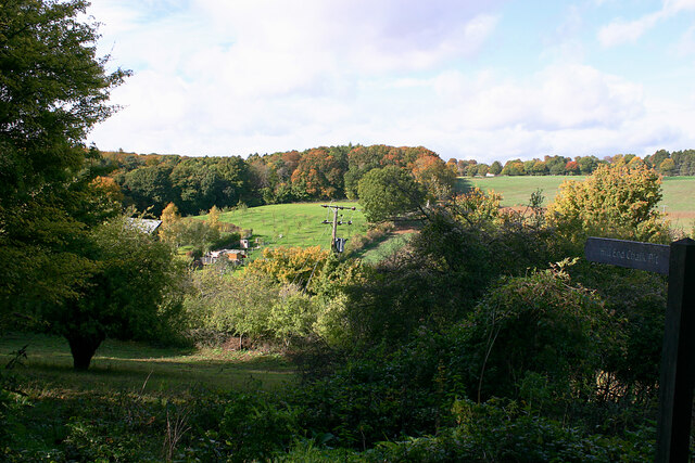
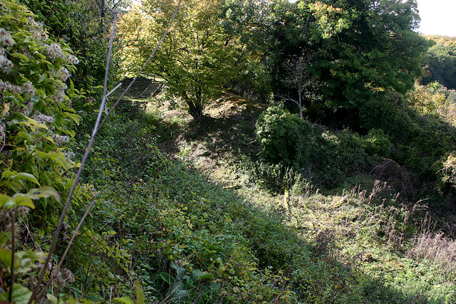
Langley Bottom is a small village located in the county of Hertfordshire, England. Situated on the eastern edge of the Chiltern Hills, it is surrounded by picturesque countryside and offers a tranquil and idyllic setting for its residents. The village is part of the civil parish of Ickleford.

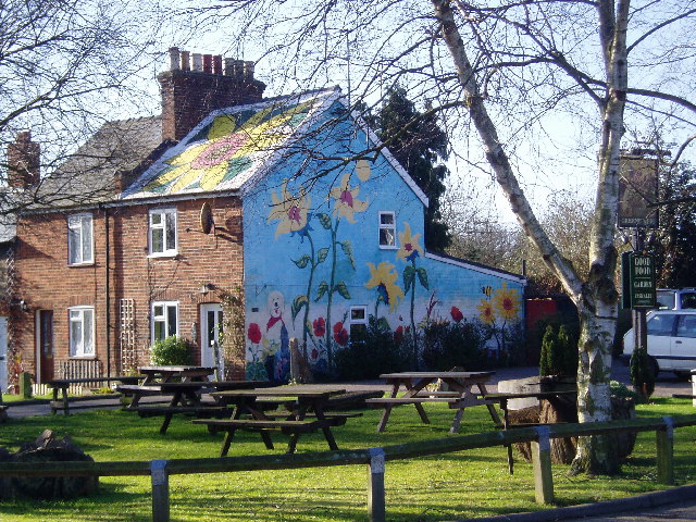
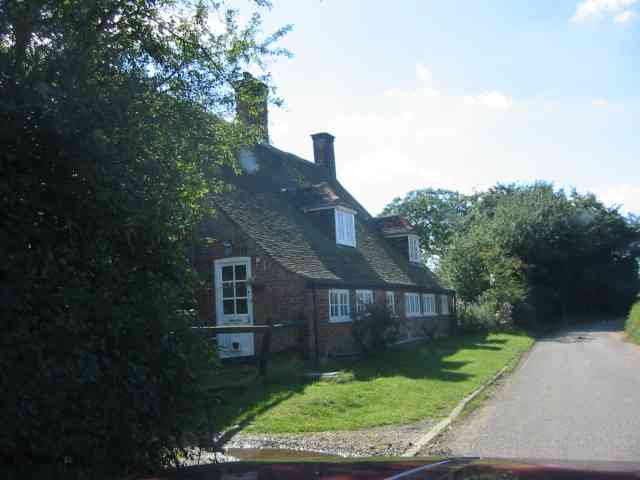
With a population of around 500 residents, Langley Bottom is known for its tight-knit community and friendly atmosphere. The village is predominantly residential, with a mix of charming cottages and modern houses. The architecture reflects a blend of historic and contemporary styles, adding to the village's character and charm.

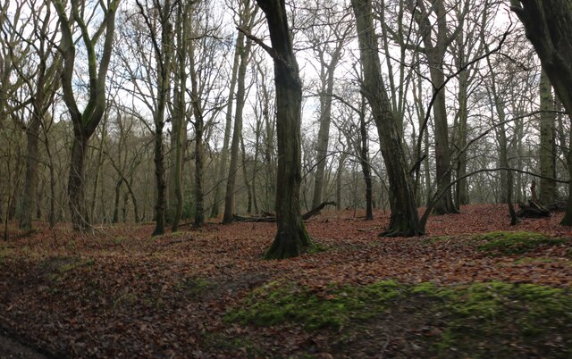
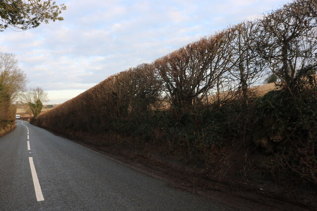
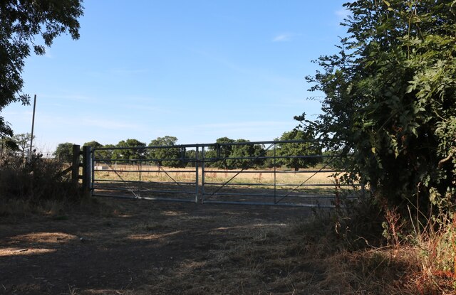
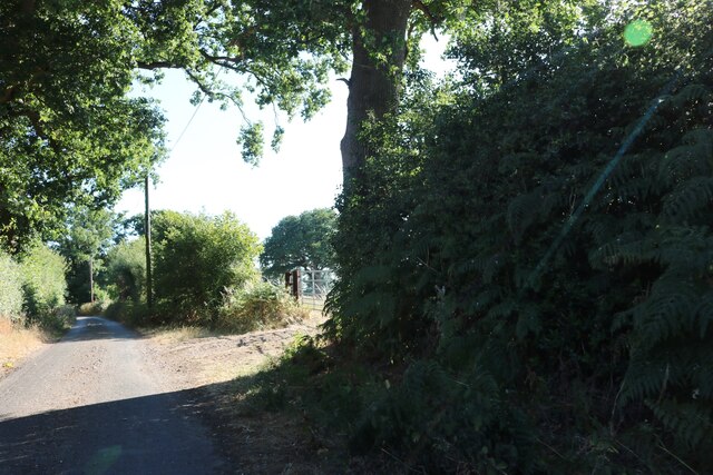
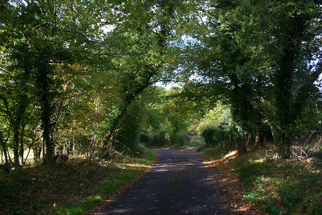
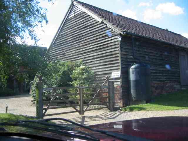
Langley Bottom benefits from its rural location, providing easy access to outdoor activities such as walking, cycling, and horse riding. The surrounding countryside offers stunning views and numerous nature trails for residents to explore.

Despite its small size, Langley Bottom is conveniently located near several larger towns and cities. Hitchin, a historic market town, is just a short drive away and provides a range of amenities including shops, restaurants, and leisure facilities. The village also benefits from excellent transport links, with the A1(M) motorway and Hitchin railway station within easy reach.

Overall, Langley Bottom offers a peaceful and picturesque setting for those seeking a rural lifestyle with easy access to nearby amenities. The village's community spirit and beautiful surroundings make it an attractive place to call home.

If you have any feedback on the listing, please let us know in the comments section below.

Langley Bottom Images

Images are sourced within 2km of 51.893687/-0.24072379 or Grid Reference TL2123. Thanks to Geograph Open Source API. All images are credited.

Hitch Wood
Hitch Wood
Whitwell Road near St Paul's Walden
Field entrance on Bullock's Hill, St Paul's Walden
Bullock's Hill, St Paul's Walden
Minsden Chapel, Langley The chapel has been recently restored and the vegetation around and within it cleared. This shows its three remaining walls, the east wall having now collapsed.
Minsden Chapel, Langley
The chapel has been recently restored and the vegetation around and within it cleared. This shows its three remaining walls, the east wall having now collapsed.
Minsden Chapel, Langley The chapel has been recently restored and the vegetation around and within it cleared. This shows the south and west walls.
Minsden Chapel, Langley
The chapel has been recently restored and the vegetation around and within it cleared. This shows the south and west walls.
Minsden Chapel, Langley The chapel has been recently restored and the vegetation around and within it cleared. The picture was taken from the north-east corner of the site.
Minsden Chapel, Langley
The chapel has been recently restored and the vegetation around and within it cleared. The picture was taken from the north-east corner of the site.
Terraced houses, Whitwell Road, St Paul's Walden
Lodges at entrance to Stagenhoe, St Paul's Walden This is the Whitwell Road entrance to Stagenhoe, now a Sue Ryder care home. The two lodges are New Lodge (left) and Hitchwood Lodge (right).
Lodges at entrance to Stagenhoe, St Paul's Walden
This is the Whitwell Road entrance to Stagenhoe, now a Sue Ryder care home. The two lodges are New Lodge (left) and Hitchwood Lodge (right).
Langley Lane, Langley (Herts) Looking in the direction of the B651.
Langley Lane, Langley (Herts)
Looking in the direction of the B651.
Farmland adjacent to Hitch Wood, Langley (Herts) Taken from the footpath from the B651 (left but hidden) to Langley End.
Farmland adjacent to Hitch Wood, Langley (Herts)
Taken from the footpath from the B651 (left but hidden) to Langley End.
Sign to Hill End Chalk Pit, Langley (Herts) The former chalk pit is now a nature reserve. The site once had SSSI status on account of the fossiliferous content of the Chalk but is now overgrown.
Sign to Hill End Chalk Pit, Langley (Herts)
The former chalk pit is now a nature reserve. The site once had SSSI status on account of the fossiliferous content of the Chalk but is now overgrown.
Hill End Chalk Pit, Langley (Herts) The former chalk pit is now a nature reserve. The site once had SSSI status on account of the fossiliferous content of the Chalk but is now overgrown.
Hill End Chalk Pit, Langley (Herts)
The former chalk pit is now a nature reserve. The site once had SSSI status on account of the fossiliferous content of the Chalk but is now overgrown.
Painted House at Norton Green Norton Green is a small hamlet clinging to the western edge of the New Town of Stevenage but separated by the A1(M). Despite this the place retains a quiet rural atmosphere.
Painted House at Norton Green
Norton Green is a small hamlet clinging to the western edge of the New Town of Stevenage but separated by the A1(M). Despite this the place retains a quiet rural atmosphere.
Warehouse on Crompton Rd This industrial estate consists of small units and this one could be any of them.  A hundred yards behind me when I took this photograph is the A1(M), but you wouldn't know it from here and a couple of hundred yards further than that is an old Roman road.
Warehouse on Crompton Rd
This industrial estate consists of small units and this one could be any of them. A hundred yards behind me when I took this photograph is the A1(M), but you wouldn't know it from here and a couple of hundred yards further than that is an old Roman road.
Rusling End Farm I was very much taken with the huge sized water butt . And the character of the clap boarding.
Rusling End Farm
I was very much taken with the huge sized water butt . And the character of the clap boarding.
Cottage in  Rusling  End The cottage looks to have once been several smaller units
Cottage in Rusling End
The cottage looks to have once been several smaller units
Show me another place!

Langley Bottom is located at Grid Ref: TL2123 (Lat: 51.893687, Lng: -0.24072379)

Administrative County: Hertfordshire

District: North Hertfordshire

Police Authority: Hertfordshire

What 3 Words

///sounds.inch.moth. Near Stevenage, Hertfordshire

Related Wikis

Langley, Hertfordshire

Langley is a hamlet and civil parish in the non-metropolitan district of North Hertfordshire and county of Hertfordshire. The population was 175 in the...

Hill End Pit

Hill End Pit (also called Hill End Farm Pit or Hitch Wood Pit) is a 0.7-hectare (1.7-acre) nature reserve on the site of a former chalk pit, in St Paul...

Knebworth Woods

Knebworth Woods is a 120.8-hectare (299-acre) biological Site of Special Scientific Interest in Knebworth, immediately south of Stevenage in Hertfordshire...
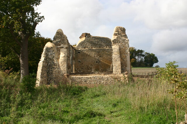
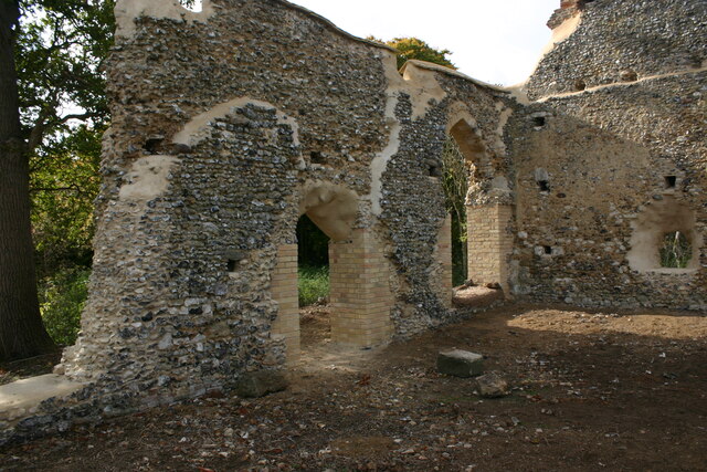
Minsden Chapel

Minsden Chapel is an isolated ruined chapel in the fields above the hamlet of Chapelfoot, near Preston, Hertfordshire. Today it is a roofless shell, partly...

St Paul's Walden

St Paul's Walden is a village about 5 miles (8 km) south of Hitchin in Hertfordshire, England. The civil parish of St Paul's Walden also includes the village...

Symonds Green

Symonds Green is a neighbourhood within the English new town of Stevenage in Hertfordshire. Although predominantly a residential area with a mixture of...

Stevenage railway station

Stevenage railway station serves the town of Stevenage in Hertfordshire, England. The station is around 44.4 kilometres (27.6 miles) north of London King...

Stevenage Mail Centre

Stevenage mail centre was a Royal Mail mail centre in Stevenage, Hertfordshire, England. In 2010, Royal Mail announced that a number of sorting offices...

Nearby Amenities

Located within 500m of 51.893687,-0.24072379
Barrier: entrance
Lat/Long: 51.8900419/-0.2413773
Rush Green Motors
Building: yes
Landuse: commercial
Lat/Long: 51.8972824/-0.2418279
Post Box
Collection Times: Mo-Fr 17:00; Sa 09:00
Note: Inside grounds of Rush Green Motors.
Post Box Type: lamp
Ref: SG4 68
Lat/Long: 51.8971368/-0.2418091
Material: steel
Power: pole
Source: Bing
Lat/Long: 51.8963986/-0.2453309
Material: steel
Power: pole
Source: Bing
Lat/Long: 51.8954584/-0.2443948
Material: steel
Power: pole
Source: Bing
Lat/Long: 51.8945224/-0.2434373
Material: steel
Power: pole
Source: Bing
Lat/Long: 51.8937089/-0.2426702
Material: steel
Power: pole
Source: Bing
Lat/Long: 51.8927488/-0.2418011
Material: steel
Power: pole
Source: Bing
Lat/Long: 51.8917656/-0.2409858
Material: steel
Power: pole
Source: Bing
Lat/Long: 51.889818/-0.2393751
Material: steel
Power: pole
Source: Bing
Lat/Long: 51.8907823/-0.2402052
Material: wood
Power: pole
Lat/Long: 51.8914312/-0.2349669
Material: wood
Power: pole
Lat/Long: 51.8923185/-0.2347362
Power: pole
Lat/Long: 51.8898288/-0.2412312
Power: pole
Lat/Long: 51.8898468/-0.2425297
Power: pole
Lat/Long: 51.8904711/-0.2440743
Power: pole
Lat/Long: 51.8911274/-0.245693
The data included in this document is from www.openstreetmap.org. The data is made available under ODbL.

Have you been to Langley Bottom?

Leave your review of Langley Bottom below (or comments, questions and feedback).