Rush Green

Wood, Forest in Hertfordshire North Hertfordshire

England

Rush Green

Hitchwood Lane near Preston
Hitchwood Lane near Preston Credit: David Howard

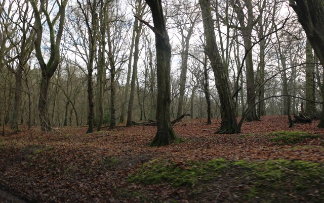
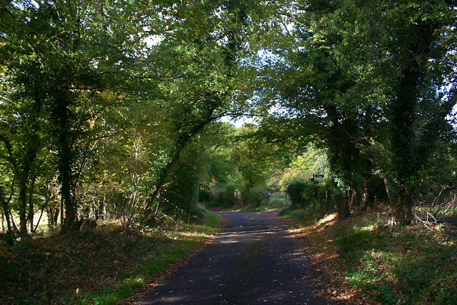
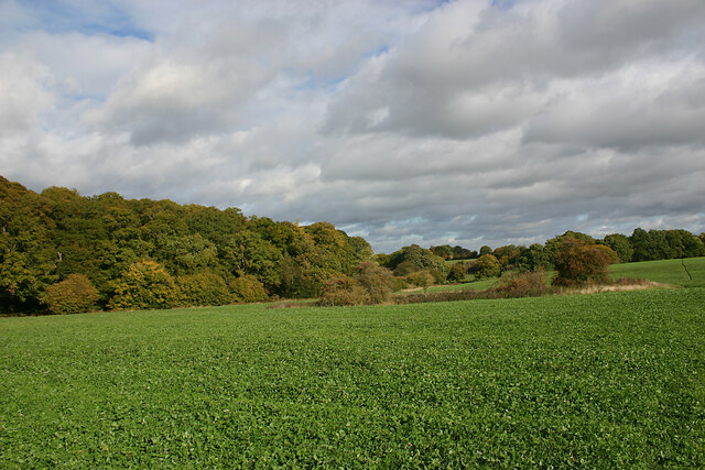
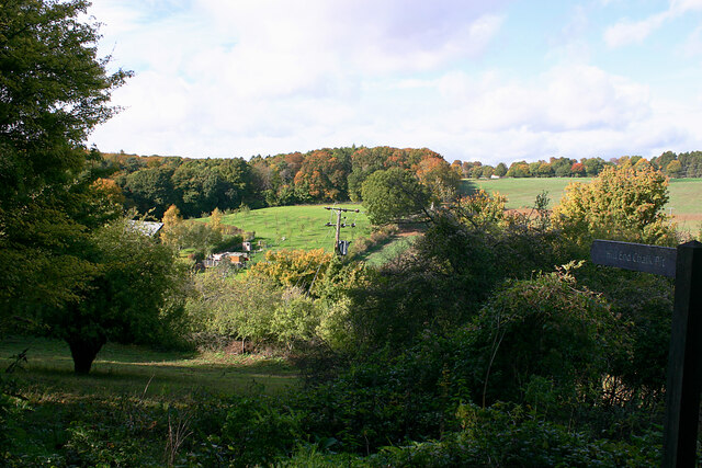
Rush Green is a picturesque woodland area located in Hertfordshire, England. Situated near the village of Wood, Rush Green is known for its lush greenery, dense forests, and tranquil atmosphere. The area is a haven for nature lovers and outdoor enthusiasts, offering a wide range of activities and sights to explore.

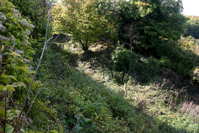
The woodland in Rush Green is characterized by its diverse array of tree species, including oak, beech, and pine trees, creating a rich and vibrant ecosystem. The forest floor is covered in a carpet of ferns, bluebells, and wildflowers, adding to the area's natural beauty. The woodlands are home to numerous species of wildlife, such as deer, foxes, and various bird species, providing ample opportunities for wildlife spotting.

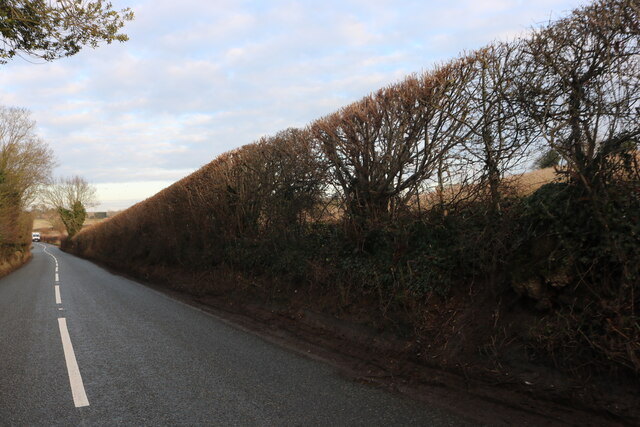
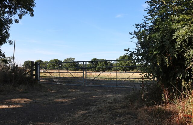
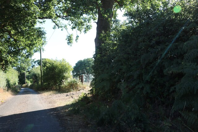
Rush Green is a popular destination for hiking and walking enthusiasts, with a network of well-maintained trails and pathways that wind through the forest. These trails offer stunning views of the surrounding countryside and provide a peaceful escape from the hustle and bustle of everyday life. Additionally, the area is a favorite spot for picnickers, who can enjoy the serenity of nature while indulging in a leisurely outdoor meal.

The woodland is also known for its historical significance, with remnants of ancient settlements and archaeological sites scattered throughout the area. These sites provide a glimpse into the rich history of the region and offer a fascinating insight into the lives of its past inhabitants.

Overall, Rush Green in Hertfordshire is a hidden gem for nature enthusiasts, offering a unique blend of natural beauty, recreational opportunities, and historical significance. Whether you're a hiker, wildlife lover, or history buff, Rush Green has something to offer for everyone.

If you have any feedback on the listing, please let us know in the comments section below.
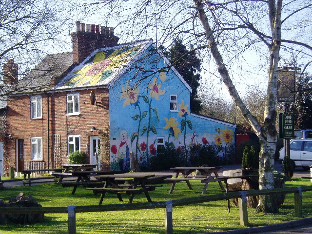
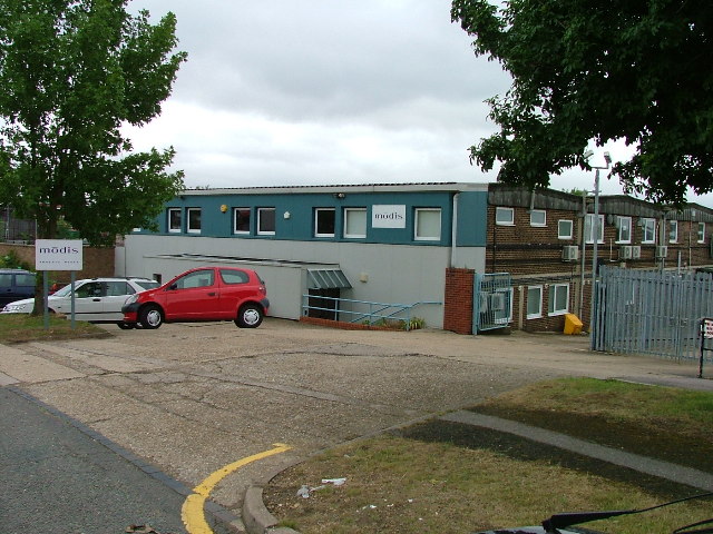
Rush Green Images

Images are sourced within 2km of 51.897818/-0.24220482 or Grid Reference TL2123. Thanks to Geograph Open Source API. All images are credited.

Hitchwood Lane near Preston
Hitch Wood
Hitch Wood
Whitwell Road near St Paul's Walden
Field entrance on Bullock's Hill, St Paul's Walden
Bullock's Hill, St Paul's Walden
Minsden Chapel, Langley The chapel has been recently restored and the vegetation around and within it cleared. This shows its three remaining walls, the east wall having now collapsed.
Minsden Chapel, Langley
The chapel has been recently restored and the vegetation around and within it cleared. This shows its three remaining walls, the east wall having now collapsed.
Minsden Chapel, Langley The chapel has been recently restored and the vegetation around and within it cleared. This shows the south and west walls.
Minsden Chapel, Langley
The chapel has been recently restored and the vegetation around and within it cleared. This shows the south and west walls.
Minsden Chapel, Langley The chapel has been recently restored and the vegetation around and within it cleared. The picture was taken from the north-east corner of the site.
Minsden Chapel, Langley
The chapel has been recently restored and the vegetation around and within it cleared. The picture was taken from the north-east corner of the site.
Lodges at entrance to Stagenhoe, St Paul's Walden This is the Whitwell Road entrance to Stagenhoe, now a Sue Ryder care home. The two lodges are New Lodge (left) and Hitchwood Lodge (right).
Lodges at entrance to Stagenhoe, St Paul's Walden
This is the Whitwell Road entrance to Stagenhoe, now a Sue Ryder care home. The two lodges are New Lodge (left) and Hitchwood Lodge (right).
Langley Lane, Langley (Herts) Looking in the direction of the B651.
Langley Lane, Langley (Herts)
Looking in the direction of the B651.
Farmland adjacent to Hitch Wood, Langley (Herts) Taken from the footpath from the B651 (left but hidden) to Langley End.
Farmland adjacent to Hitch Wood, Langley (Herts)
Taken from the footpath from the B651 (left but hidden) to Langley End.
Sign to Hill End Chalk Pit, Langley (Herts) The former chalk pit is now a nature reserve. The site once had SSSI status on account of the fossiliferous content of the Chalk but is now overgrown.
Sign to Hill End Chalk Pit, Langley (Herts)
The former chalk pit is now a nature reserve. The site once had SSSI status on account of the fossiliferous content of the Chalk but is now overgrown.
Hill End Chalk Pit, Langley (Herts) The former chalk pit is now a nature reserve. The site once had SSSI status on account of the fossiliferous content of the Chalk but is now overgrown.
Hill End Chalk Pit, Langley (Herts)
The former chalk pit is now a nature reserve. The site once had SSSI status on account of the fossiliferous content of the Chalk but is now overgrown.
Painted House at Norton Green Norton Green is a small hamlet clinging to the western edge of the New Town of Stevenage but separated by the A1(M). Despite this the place retains a quiet rural atmosphere.
Painted House at Norton Green
Norton Green is a small hamlet clinging to the western edge of the New Town of Stevenage but separated by the A1(M). Despite this the place retains a quiet rural atmosphere.
Warehouse on Crompton Rd This industrial estate consists of small units and this one could be any of them.  A hundred yards behind me when I took this photograph is the A1(M), but you wouldn't know it from here and a couple of hundred yards further than that is an old Roman road.
Warehouse on Crompton Rd
This industrial estate consists of small units and this one could be any of them. A hundred yards behind me when I took this photograph is the A1(M), but you wouldn't know it from here and a couple of hundred yards further than that is an old Roman road.
Road signpost at  Easthall When three roads have only two destinations life can get tedious unless one has a map
Road signpost at Easthall
When three roads have only two destinations life can get tedious unless one has a map
Stackyard with machinery at Easthall The straw bale stack on the right has new straw, whereas the far stack looks like it is of rolled hay
Stackyard with machinery at Easthall
The straw bale stack on the right has new straw, whereas the far stack looks like it is of rolled hay
Show me another place!

Rush Green is located at Grid Ref: TL2123 (Lat: 51.897818, Lng: -0.24220482)

Administrative County: Hertfordshire

District: North Hertfordshire

Police Authority: Hertfordshire

What 3 Words

///actor.onion.smug. Near Stevenage, Hertfordshire

Related Wikis

Langley, Hertfordshire

Langley is a hamlet and civil parish in the non-metropolitan district of North Hertfordshire and county of Hertfordshire. The population was 175 in the...

Hill End Pit

Hill End Pit (also called Hill End Farm Pit or Hitch Wood Pit) is a 0.7-hectare (1.7-acre) nature reserve on the site of a former chalk pit, in St Paul...
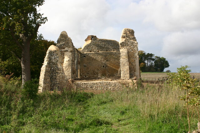
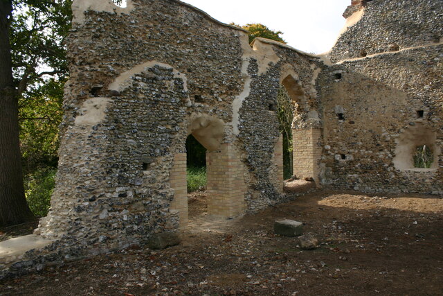
Minsden Chapel

Minsden Chapel is an isolated ruined chapel in the fields above the hamlet of Chapelfoot, near Preston, Hertfordshire. Today it is a roofless shell, partly...

Symonds Green

Symonds Green is a neighbourhood within the English new town of Stevenage in Hertfordshire. Although predominantly a residential area with a mixture of...

St Paul's Walden

St Paul's Walden is a village about 5 miles (8 km) south of Hitchin in Hertfordshire, England. The civil parish of St Paul's Walden also includes the village...

Knebworth Woods

Knebworth Woods is a 120.8-hectare (299-acre) biological Site of Special Scientific Interest in Knebworth, immediately south of Stevenage in Hertfordshire...

Stevenage railway station

Stevenage railway station serves the town of Stevenage in Hertfordshire, England. The station is around 44.4 kilometres (27.6 miles) north of London King...

Stagenhoe

Stagenhoe is a Grade II listed stately home and surrounding gardens located in the village of St Paul's Walden in Hertfordshire. It is approximately 6...

Nearby Amenities

Located within 500m of 51.897818,-0.24220482
Landuse: farm
Note Retag: CS #48756035
Lat/Long: 51.8984567/-0.2421899
Rush Green Motors
Building: yes
Landuse: commercial
Lat/Long: 51.8972824/-0.2418279
Post Box
Collection Times: Mo-Fr 17:00; Sa 09:00
Note: Inside grounds of Rush Green Motors.
Post Box Type: lamp
Ref: SG4 68
Lat/Long: 51.8971368/-0.2418091
Material: steel
Power: pole
Source: Bing
Lat/Long: 51.8992073/-0.2481768
Material: steel
Power: pole
Source: Bing
Lat/Long: 51.8982705/-0.2472326
Material: steel
Power: pole
Source: Bing
Lat/Long: 51.8973387/-0.2462858
Material: steel
Power: pole
Source: Bing
Lat/Long: 51.8963986/-0.2453309
Material: steel
Power: pole
Source: Bing
Lat/Long: 51.8954584/-0.2443948
Material: steel
Power: pole
Source: Bing
Lat/Long: 51.8945224/-0.2434373
Material: steel
Power: pole
Source: Bing
Lat/Long: 51.8937089/-0.2426702
The data included in this document is from www.openstreetmap.org. The data is made available under ODbL.

Have you been to Rush Green?

Leave your review of Rush Green below (or comments, questions and feedback).