Bowle's Wood

Wood, Forest in Hertfordshire St. Albans

England

Bowle's Wood

Waterend Looking North from TL204136 to the ford at Waterend on the River Lea, West of Welwyn Garden City. It's dry, but the water only has to rise a foot or so to flood the road - hence the little footbridge so people can cross without getting their feet wet.
Waterend Credit: Rob Hinkley

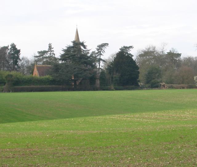
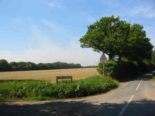
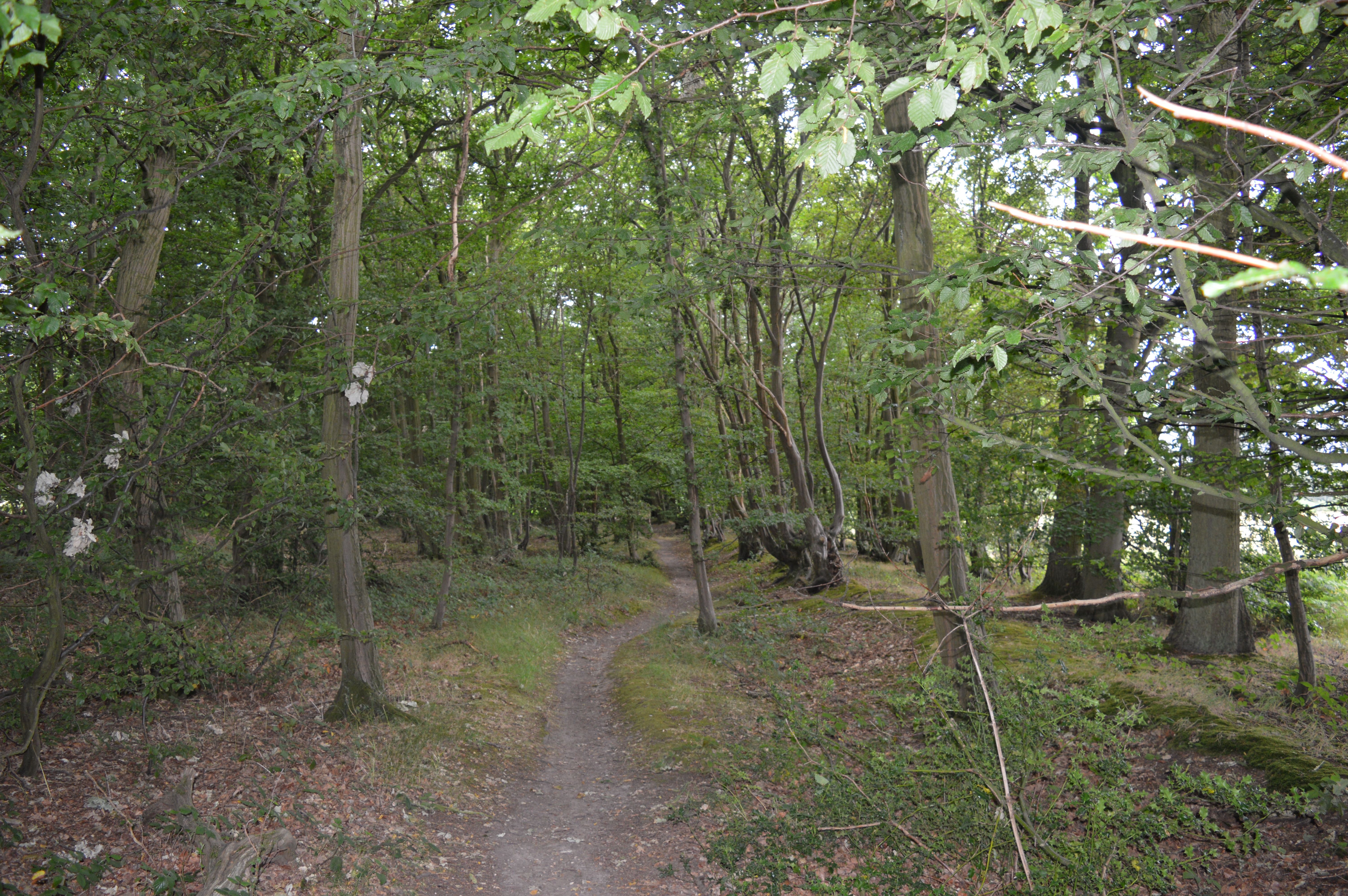
Bowle's Wood is a picturesque woodland located in the county of Hertfordshire, England. Situated near the village of Essendon, this woodland covers an area of approximately 60 acres, offering visitors a tranquil escape from the hustle and bustle of everyday life.

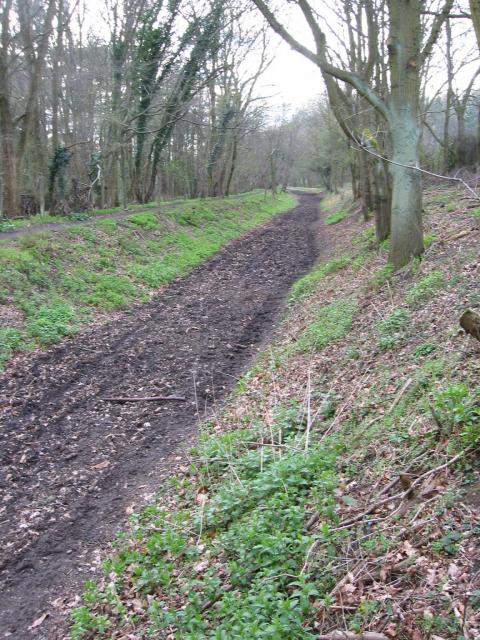
The wood is primarily composed of broadleaf trees, including oak, beech, and hornbeam, which create a diverse and vibrant canopy throughout the year. The forest floor is adorned with a rich carpet of bluebells during the springtime, creating a breathtaking sight that attracts nature enthusiasts and photographers alike.

Bowle's Wood is renowned for its extensive network of walking trails, which wind through the trees, providing visitors with the opportunity to explore the woodland's natural beauty up close. These pathways are well-maintained and suitable for walkers of all ages and abilities.

The woodland is home to a wide variety of wildlife, including deer, foxes, and numerous bird species. Birdwatchers can often spot woodpeckers, nuthatches, and tawny owls among the tree branches. Additionally, the wood is a habitat for various woodland plants and insects, adding to its ecological significance.

Bowle's Wood is open to the public throughout the year, and visitors can enjoy the tranquility and natural beauty at no cost. It is an ideal destination for a leisurely stroll, a picnic, or simply unwinding in nature. The wood's accessibility, diverse wildlife, and stunning scenery make it a popular destination for nature lovers and outdoor enthusiasts in Hertfordshire.

If you have any feedback on the listing, please let us know in the comments section below.
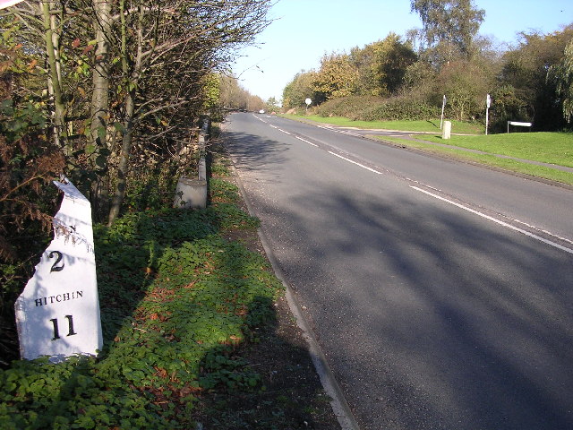
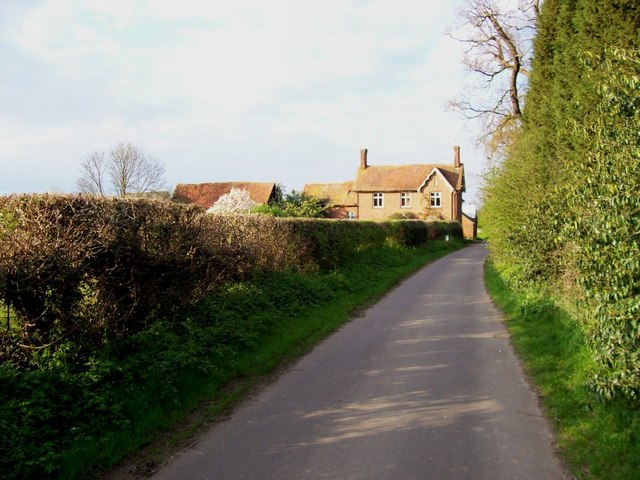
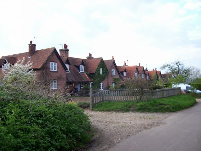
Bowle's Wood Images

Images are sourced within 2km of 51.813208/-0.24545549 or Grid Reference TL2114. Thanks to Geograph Open Source API. All images are credited.

Waterend Looking North from TL204136 to the ford at Waterend on the River Lea, West of Welwyn Garden City. It's dry, but the water only has to rise a foot or so to flood the road - hence the little footbridge so people can cross without getting their feet wet.
Waterend
Looking North from TL204136 to the ford at Waterend on the River Lea, West of Welwyn Garden City. It's dry, but the water only has to rise a foot or so to flood the road - hence the little footbridge so people can cross without getting their feet wet.
Waterend house The large house just North of the ford (TL204137)
Waterend house
The large house just North of the ford (TL204137)
Brocket Hall gates Looking south from TL218139 to the gates of Brocket Hall - home of convicted fraudster and annoying D-list reality TV celeb Lord Brocket. Most of the rest of the grid square South of here is private, and judging by the spikes, CCTV and "STOP" notices I don't think he'll let you in.
Brocket Hall gates
Looking south from TL218139 to the gates of Brocket Hall - home of convicted fraudster and annoying D-list reality TV celeb Lord Brocket. Most of the rest of the grid square South of here is private, and judging by the spikes, CCTV and "STOP" notices I don't think he'll let you in.
Greenway bridge Looking South to a bridge at TL209145 which carries the Ayot Greenway - a length of old railway line converted into cycle path and bridleway, covering most of the way from Wheathampstead to Welwyn Garden City.
Greenway bridge
Looking South to a bridge at TL209145 which carries the Ayot Greenway - a length of old railway line converted into cycle path and bridleway, covering most of the way from Wheathampstead to Welwyn Garden City.
Ayot Greenway Looking West from TL218146 along the greenway - a length of abandoned railway line running most of the way from Wheathampstead to Welwyn Garden City.
Ayot Greenway
Looking West from TL218146 along the greenway - a length of abandoned railway line running most of the way from Wheathampstead to Welwyn Garden City.
Church, Ayot St Peter, from afar. Peering North from TL218146, through the trees at the edge of the old railway line & across the fields to the church in Ayot St Peter (TL218149)
Church, Ayot St Peter, from afar.
Peering North from TL218146, through the trees at the edge of the old railway line & across the fields to the church in Ayot St Peter (TL218149)
Ayot St Peter Church Taken from the road looking WSW towards the Church
Ayot St Peter Church
Taken from the road looking WSW towards the Church
Brocket Hall, Lemsford This is the view one gets from the highway.
Brocket Hall, Lemsford
This is the view one gets from the highway.
Ayot St Peter The church seems to be operational but where would the congregation come from?
Ayot St Peter
The church seems to be operational but where would the congregation come from?
Ayot St Peter This building is next door to the church. Looks like it was the school but is now a house
Ayot St Peter
This building is next door to the church. Looks like it was the school but is now a house
Road sign to Hill Farm Lane The area was lacking in tangible elements being woods and open fields.
Road sign to Hill Farm Lane
The area was lacking in tangible elements being woods and open fields.
Milepost on Great North Rd This broken milepost stands on the old Great North Rd.  This is now the B197 Stevenage to Welwyn Garden City road.  In fact most people making this journey use  the A1 which runs parallel and about 50 yards to the left.  This milepost is cast iron and has been broken at some stage.  This is the road that Dick Turpin would have ridden from York to London on.
Milepost on Great North Rd
This broken milepost stands on the old Great North Rd. This is now the B197 Stevenage to Welwyn Garden City road. In fact most people making this journey use the A1 which runs parallel and about 50 yards to the left. This milepost is cast iron and has been broken at some stage. This is the road that Dick Turpin would have ridden from York to London on.
River from Waterend Ford View of the River Lea taken from Waterend Ford looking South-East
River from Waterend Ford
View of the River Lea taken from Waterend Ford looking South-East
Wellhead This is the head mechanism for a well. Largely complete but the cover is missing. Locally made and originally driven by a separate (steam traction?) engine, possibly as a water source for a steam plough? Located near the top of a hill just south of Threegroves Wood. There is a concrete structure about two metres high, possibly for a water tank. TL203148
Wellhead
This is the head mechanism for a well. Largely complete but the cover is missing. Locally made and originally driven by a separate (steam traction?) engine, possibly as a water source for a steam plough? Located near the top of a hill just south of Threegroves Wood. There is a concrete structure about two metres high, possibly for a water tank. TL203148
Whitehill Farm Looking north along the road to Welwyn, with woods to the right and Whitehill Farm straight ahead.
Whitehill Farm
Looking north along the road to Welwyn, with woods to the right and Whitehill Farm straight ahead.
Houses just north of Whitehill Farm This terrace of houses is so close to Whitehill farm that the 1:50,000 OS map shows them as part of the same feature, as if the farm buildings are spreading along the road.
Houses just north of Whitehill Farm
This terrace of houses is so close to Whitehill farm that the 1:50,000 OS map shows them as part of the same feature, as if the farm buildings are spreading along the road.
Ayot Green A peaceful village scene but, yards away in a cutting, is the A1(M)
Ayot Green
A peaceful village scene but, yards away in a cutting, is the A1(M)
St Peter, Ayot St Peter, Herts
Show me another place!

Bowle's Wood is located at Grid Ref: TL2114 (Lat: 51.813208, Lng: -0.24545549)

Administrative County: Hertfordshire

District: St. Albans

Police Authority: Hertfordshire

What 3 Words

///fingernails.glee.supper. Near Welwyn Garden City, Hertfordshire

Related Wikis

Ayot Green

Ayot Green is a hamlet in Hertfordshire, England and is near the A1(M) Motorway, close to Welwyn Garden City. It is a typical traditional English village...

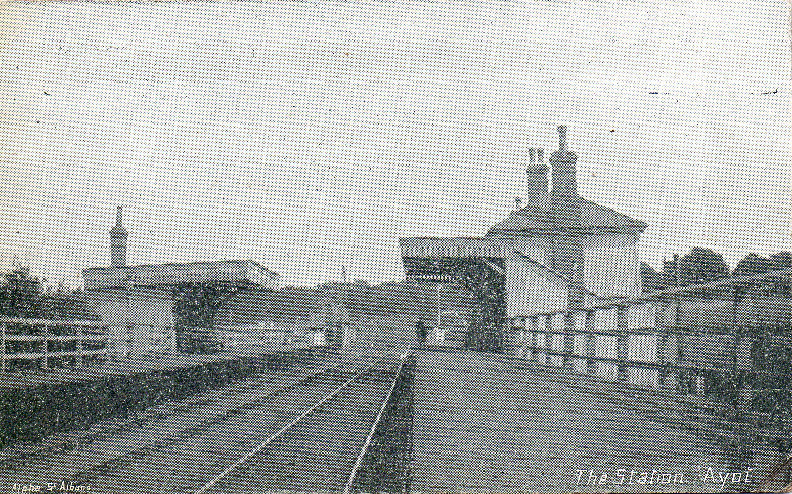
Ayot railway station

Ayot was a railway station serving Ayot St Peter near Welwyn Garden City in Hertfordshire, England. It was on the branch line to Dunstable. == History... ==
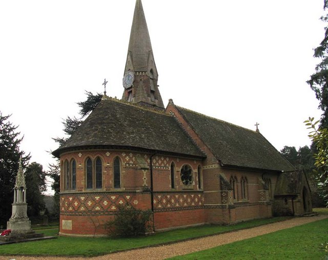
Ayot St Peter

Ayot St Peter is a village and civil parish in the Welwyn Hatfield district of Hertfordshire, England, about two miles north-west of Welwyn Garden City...
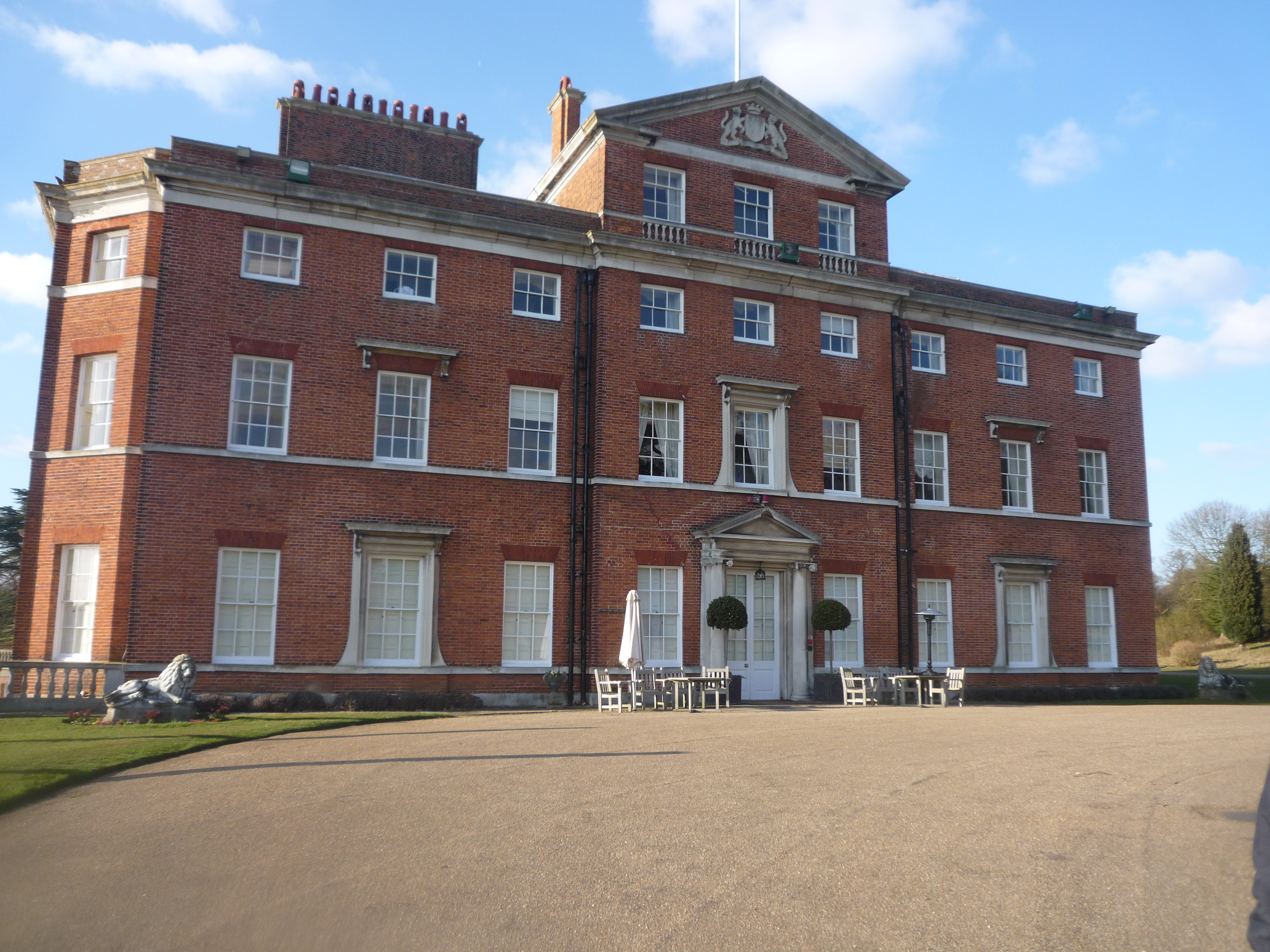
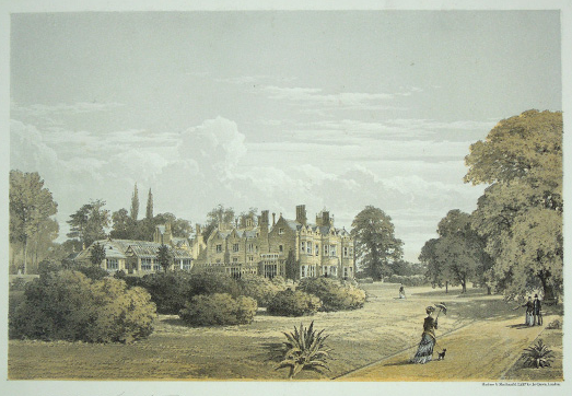
Brocket Hall

Brocket Hall is a neo-classical country house set in a large park at the western side of the urban area of Welwyn Garden City in Hertfordshire, England...

Stocking Springs Wood

Stocking Springs Wood is a 1.1-hectare (2.7-acre) nature reserve between Ayot St Lawrence and Ayot St Peter in Welwyn Hatfield district in Hertfordshire...

Lemsford

Lemsford is a village in Hertfordshire, England. It is located close to Welwyn Garden City and Hatfield and is in the Hatfield Villages Ward of the Borough...

Station IX

Station IX (formerly known as the Inter-Services Research Bureau) was a secret British Special Operations Executive factory making special weapons and...

The Frythe

The Frythe is a country house set in its own grounds in rural Hertfordshire, just south of the village of Welwyn, about 30 miles north of London. ��2...

Nearby Amenities

Located within 500m of 51.813208,-0.24545549
The data included in this document is from www.openstreetmap.org. The data is made available under ODbL.

Have you been to Bowle's Wood?

Leave your review of Bowle's Wood below (or comments, questions and feedback).