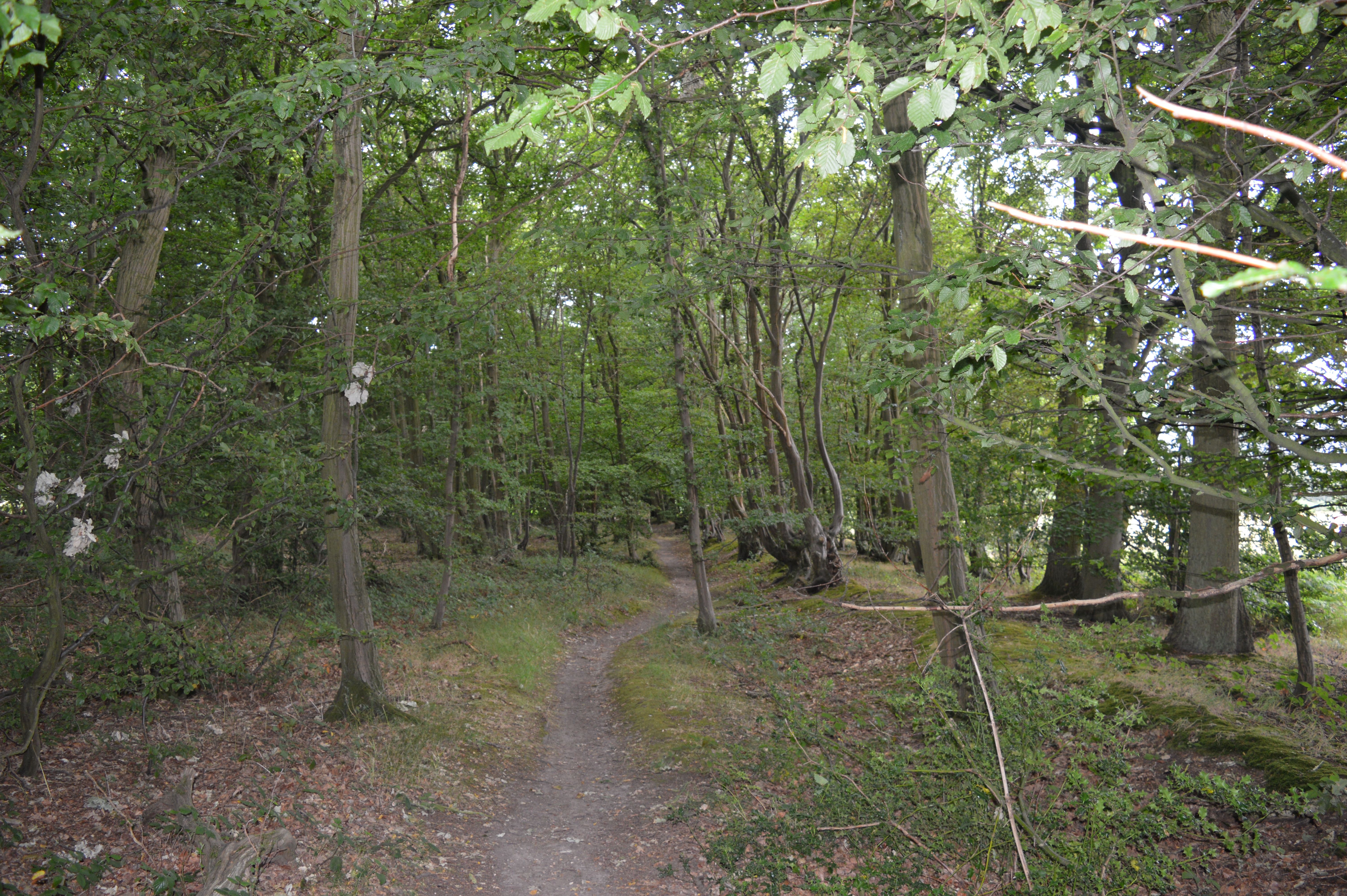
Little Hocketts Wood
Wood, Forest in Hertfordshire Welwyn Hatfield
England
Little Hocketts Wood

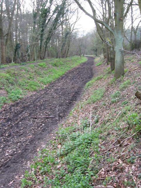
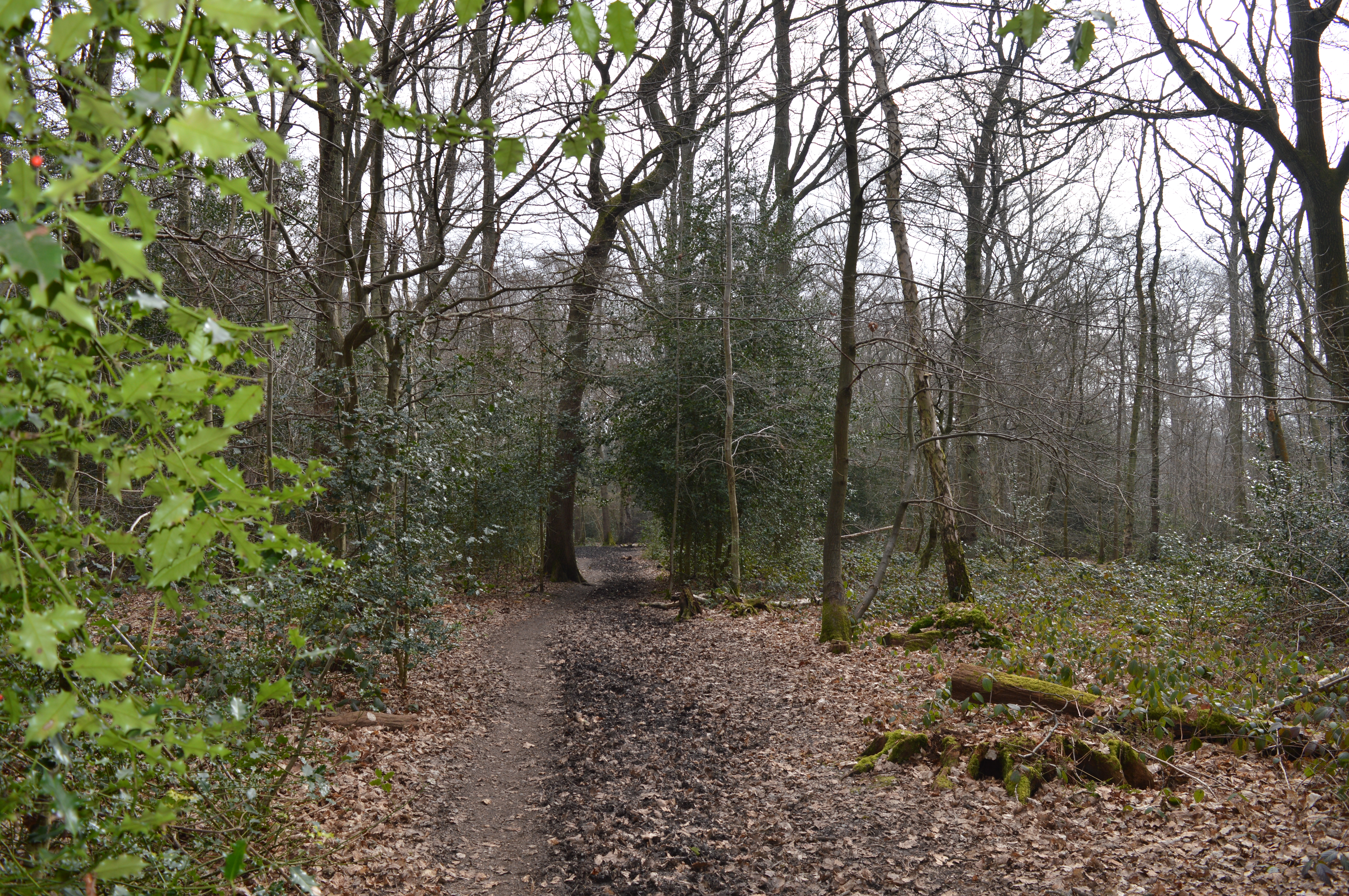
Little Hocketts Wood is a picturesque forest located in the county of Hertfordshire, England. Covering an area of approximately 50 acres, it is nestled in a rural landscape, offering a serene and tranquil retreat for nature enthusiasts and hikers alike.
The wood is predominantly composed of native British tree species, including oak, beech, and birch, which create a diverse and vibrant canopy. These trees provide a habitat for a wide range of wildlife, such as birds, squirrels, and deer, making it a popular spot for birdwatching and animal spotting.
The forest floor is adorned with a rich carpet of bluebells in the spring, creating a breathtaking scene of vibrant colors and sweet fragrances. In addition to the bluebells, other wildflowers such as primroses and foxgloves can be found scattered throughout the wood, enhancing its natural beauty.
Little Hocketts Wood is crisscrossed with a network of well-maintained footpaths, making it easily accessible for visitors. These paths wind through the forest, offering stunning views of the surrounding countryside and allowing visitors to immerse themselves in the peaceful ambiance of the wood.
The wood is managed by a local conservation organization, ensuring the preservation of its natural beauty and protecting the delicate ecosystem it houses. It is open to the public throughout the year, providing an opportunity for residents and tourists to explore and appreciate the wonders of nature.
Whether it's a leisurely stroll, a picnic amidst the trees, or an exploration of the diverse flora and fauna, Little Hocketts Wood offers an idyllic setting for nature lovers to connect with the beauty of Hertfordshire's countryside.
If you have any feedback on the listing, please let us know in the comments section below.
Little Hocketts Wood Images
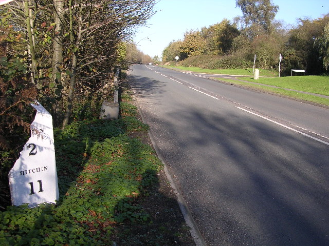
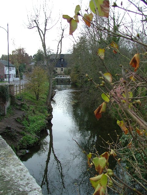
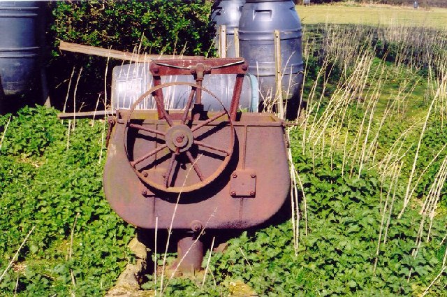
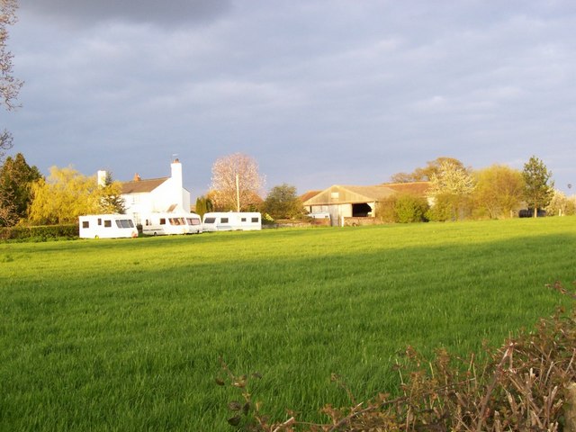
Images are sourced within 2km of 51.816801/-0.23796011 or Grid Reference TL2114. Thanks to Geograph Open Source API. All images are credited.


Little Hocketts Wood is located at Grid Ref: TL2114 (Lat: 51.816801, Lng: -0.23796011)
Administrative County: Hertfordshire
District: Welwyn Hatfield
Police Authority: Hertfordshire
What 3 Words
///nails.driver.reds. Near Welwyn, Hertfordshire
Nearby Locations
Related Wikis

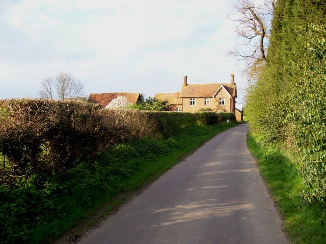
Ayot Green
Ayot Green is a hamlet in Hertfordshire, England and is near the A1(M) Motorway, close to Welwyn Garden City. It is a typical traditional English village...

Ayot St Peter
Ayot St Peter is a village and civil parish in the Welwyn Hatfield district of Hertfordshire, England, about two miles north-west of Welwyn Garden City...
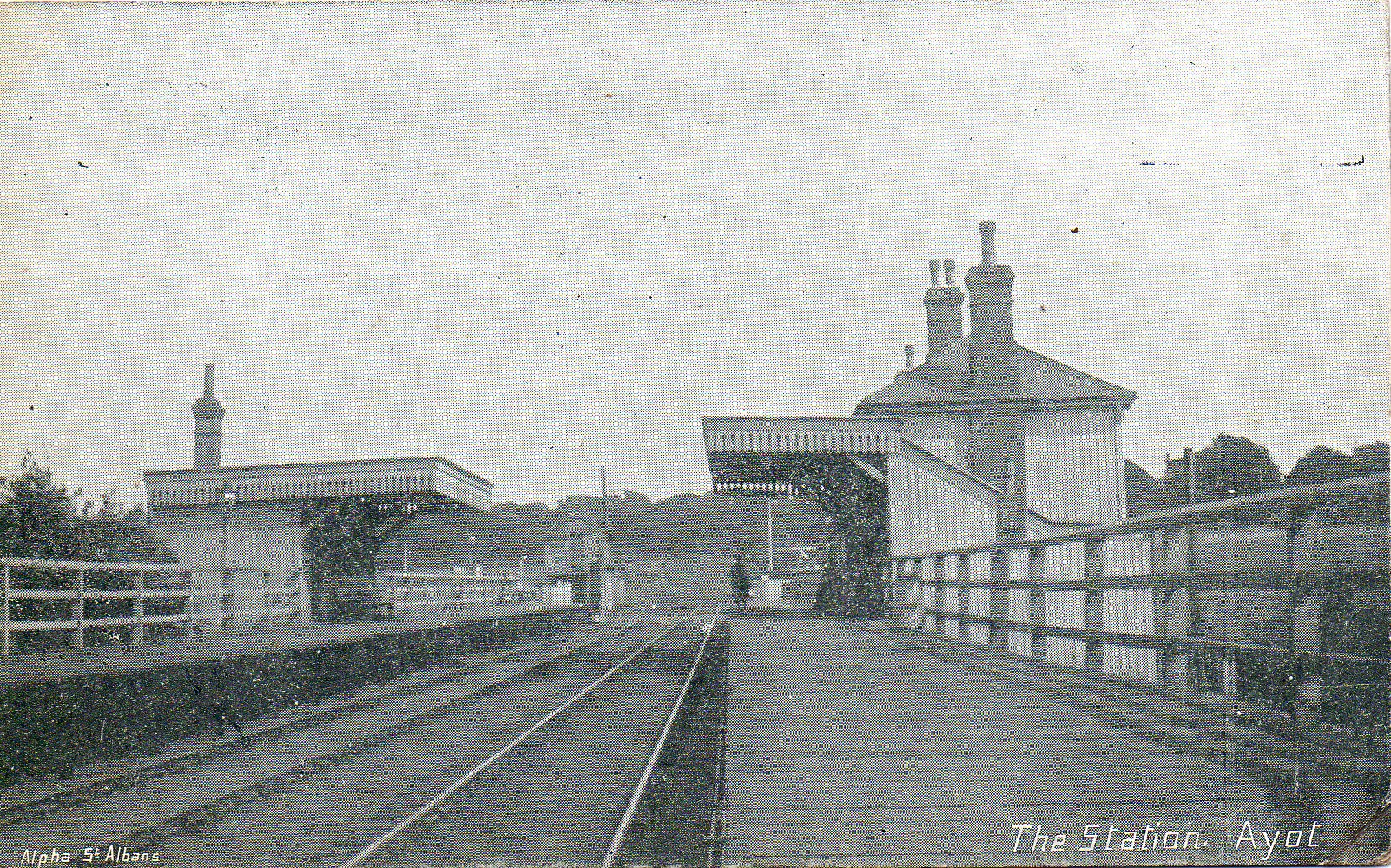
Ayot railway station
Ayot was a railway station serving Ayot St Peter near Welwyn Garden City in Hertfordshire, England. It was on the branch line to Dunstable. == History... ==

Station IX
Station IX (formerly known as the Inter-Services Research Bureau) was a secret British Special Operations Executive factory making special weapons and...
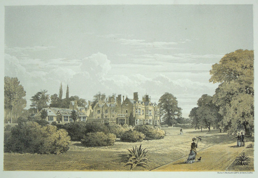
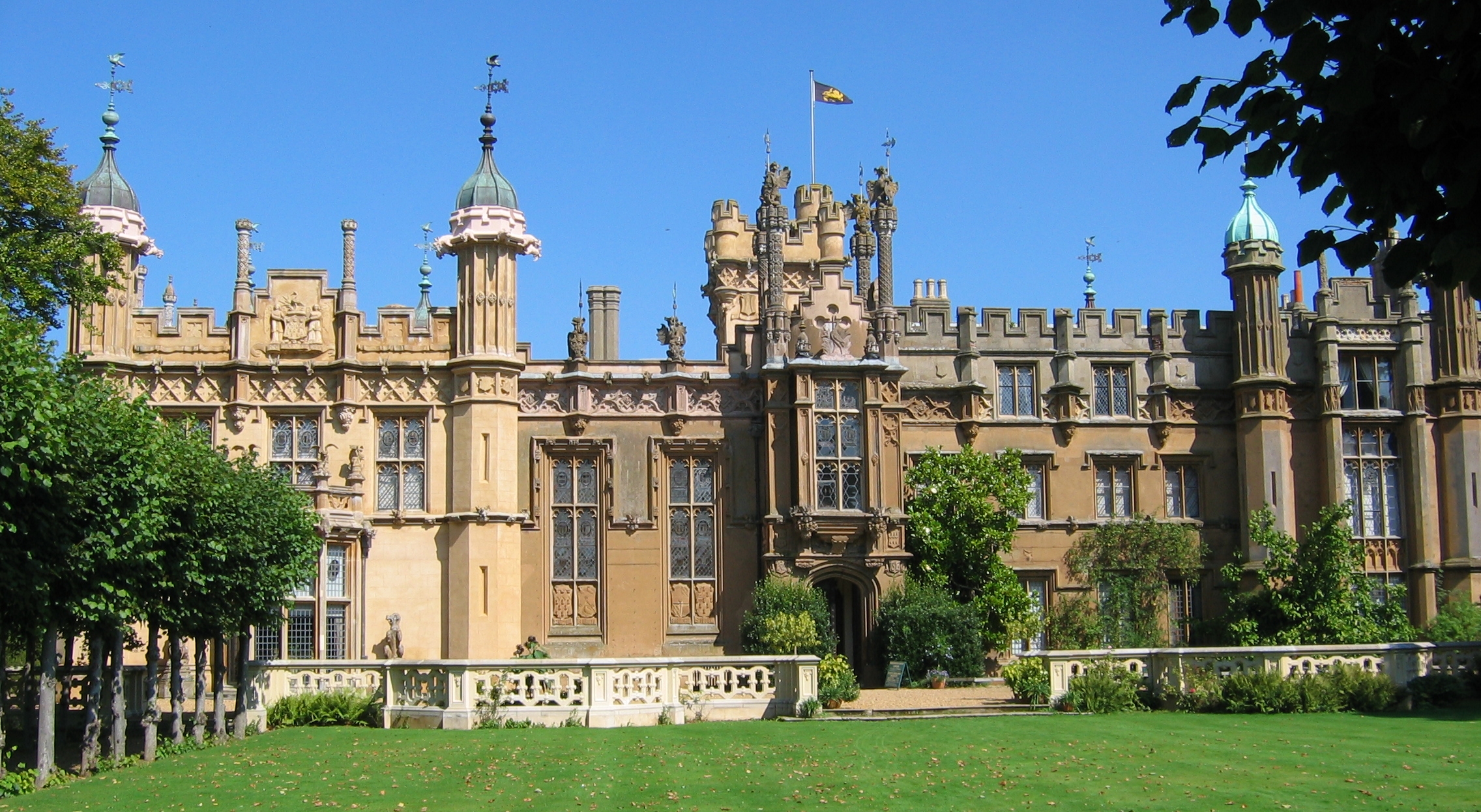
The Frythe
The Frythe is a country house set in its own grounds in rural Hertfordshire, just south of the village of Welwyn, about 30 miles north of London. ��2...
Stocking Springs Wood
Stocking Springs Wood is a 1.1-hectare (2.7-acre) nature reserve between Ayot St Lawrence and Ayot St Peter in Welwyn Hatfield district in Hertfordshire...
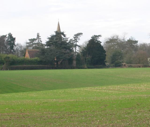
Hertfordshire
Hertfordshire ( HART-fərd-sheer or -shər; often abbreviated Herts) is a county in the East of England region and is one of the home counties. It borders...
Sherrardspark Wood
Sherrardspark Wood (grid reference TL230139) is a 74.9 hectares (185 acres) biological site of Special Scientific Interest in Welwyn Garden City, Hertfordshire...
Related Videos
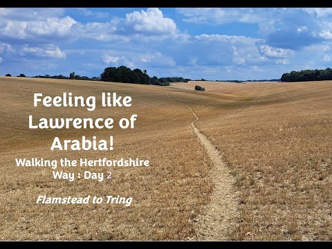
Like Lawrence of Arabia! - Walking the Hertfordshire Way (Day 2) during the hot, dry summer of 2022
Day 2 of 2 for leg 1 of the mammoth Hertfordshire Way - this leg from Flamstead to Tring (14 miles) The route: Stayed at Premier ...
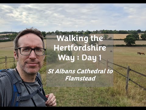
Walking the Hertfordshire Way - Day 1 (of many)
In order to complete my "walk a long distance path (LDP) in each of the 38 counties of England challenge", I've started walking the ...

walking to Digswell and under the viaduct
After walking through the sherrardsward Wood i walked on to a small village called Digswell. This is a lovely little village and has ...

walking weekend verulamium Park/ centenary walk round my home town.
Saturday was spent walking round sta Albans cathedral and verulamium Park. Then we won't to the waffle house where the food ...
Nearby Amenities
Located within 500m of 51.816801,-0.23796011Have you been to Little Hocketts Wood?
Leave your review of Little Hocketts Wood below (or comments, questions and feedback).