Long Spring
Wood, Forest in Hertfordshire Welwyn Hatfield
England
Long Spring

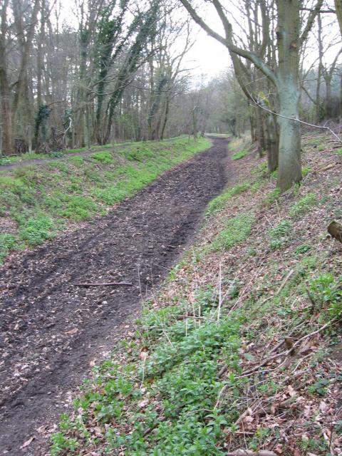
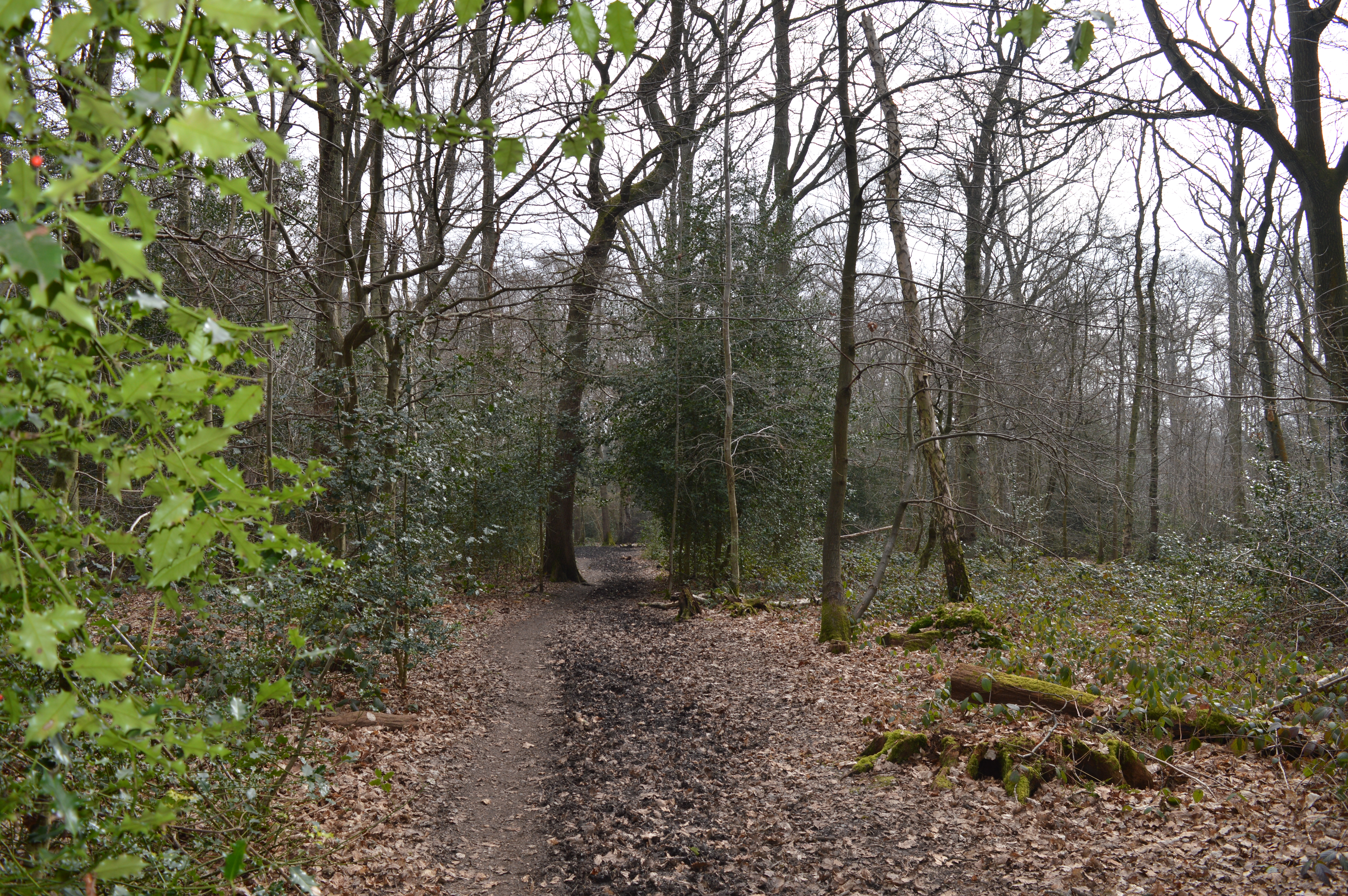
Long Spring is a picturesque woodland located in Hertfordshire, England. Situated in the heart of the county, this enchanting forest spans over a vast area, covering approximately 500 acres of land. The woodland is predominantly composed of tall and majestic oak trees, which create a dense canopy, providing shade and adding to the tranquility of the surroundings.
Long Spring is known for its diverse range of flora and fauna. The forest floor is adorned with a variety of wildflowers, including bluebells, primroses, and wood anemones, which bloom in a riot of colors during the spring season. This makes Long Spring a popular destination for nature enthusiasts and photographers, who flock to capture the beauty of the woodland.
The forest is also home to a myriad of wildlife species. Birdwatchers can delight in spotting various avian species, such as woodpeckers, nuthatches, and tawny owls, while lucky visitors may even catch a glimpse of deer, foxes, or badgers roaming freely through the undergrowth. The serene atmosphere and abundant wildlife make Long Spring an ideal spot for nature walks and exploration.
Long Spring offers a range of recreational activities for visitors to enjoy. There are well-maintained walking trails that wind through the forest, allowing visitors to immerse themselves in the natural beauty of the surroundings. Additionally, there are picnic areas and designated spots for camping, providing opportunities for visitors to relax and enjoy a peaceful day in the midst of nature.
Overall, Long Spring in Hertfordshire is a captivating woodland that offers a haven of tranquility and natural beauty. With its diverse flora and fauna, it is a cherished destination for nature lovers and a cherished gem in the heart of the county.
If you have any feedback on the listing, please let us know in the comments section below.
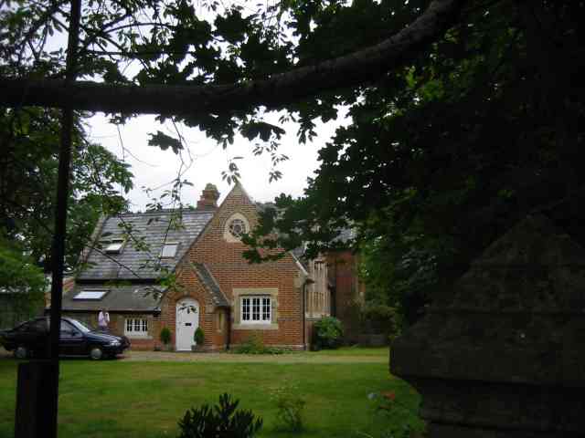
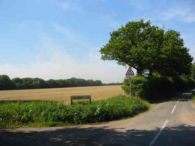
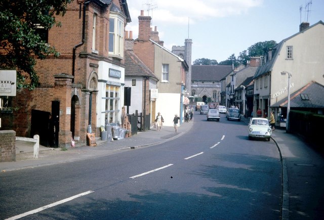
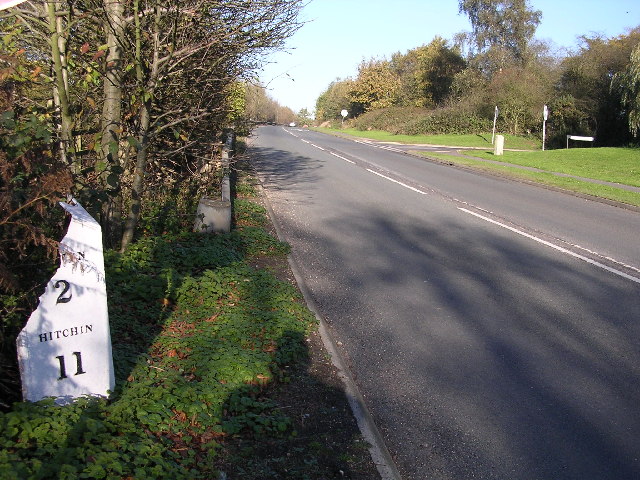
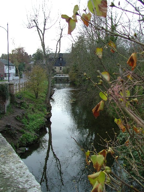
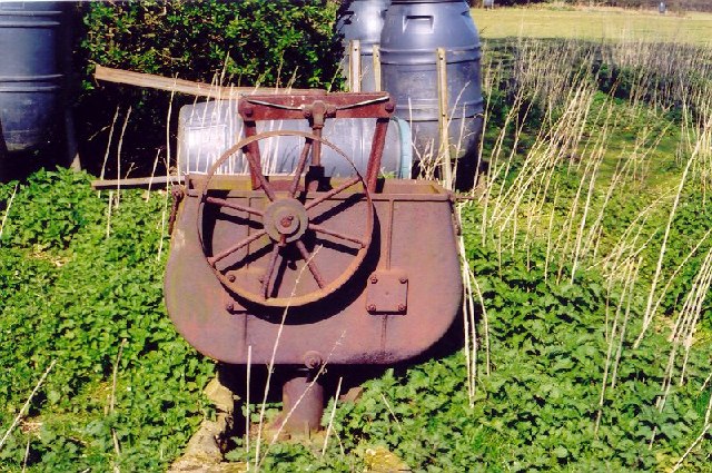
Long Spring Images
Images are sourced within 2km of 51.816569/-0.23393576 or Grid Reference TL2114. Thanks to Geograph Open Source API. All images are credited.


Long Spring is located at Grid Ref: TL2114 (Lat: 51.816569, Lng: -0.23393576)
Administrative County: Hertfordshire
District: Welwyn Hatfield
Police Authority: Hertfordshire
What 3 Words
///defeat.panels.farms. Near Welwyn, Hertfordshire
Nearby Locations
Related Wikis

Ayot Green
Ayot Green is a hamlet in Hertfordshire, England and is near the A1(M) Motorway, close to Welwyn Garden City. It is a typical traditional English village...
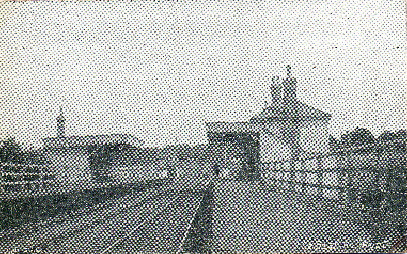
Ayot railway station
Ayot was a railway station serving Ayot St Peter near Welwyn Garden City in Hertfordshire, England. It was on the branch line to Dunstable. == History... ==

Ayot St Peter
Ayot St Peter is a village and civil parish in the Welwyn Hatfield district of Hertfordshire, England, about two miles north-west of Welwyn Garden City...

Station IX
Station IX (formerly known as the Inter-Services Research Bureau) was a secret British Special Operations Executive factory making special weapons and...
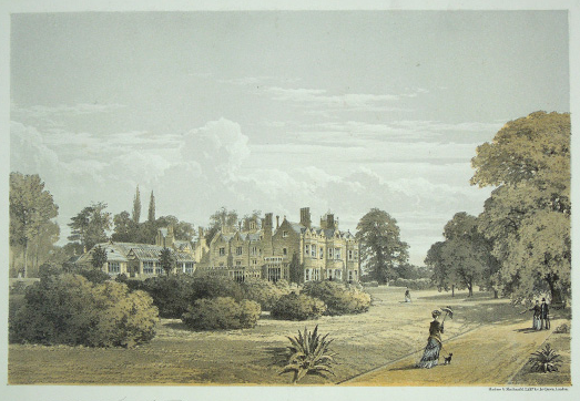
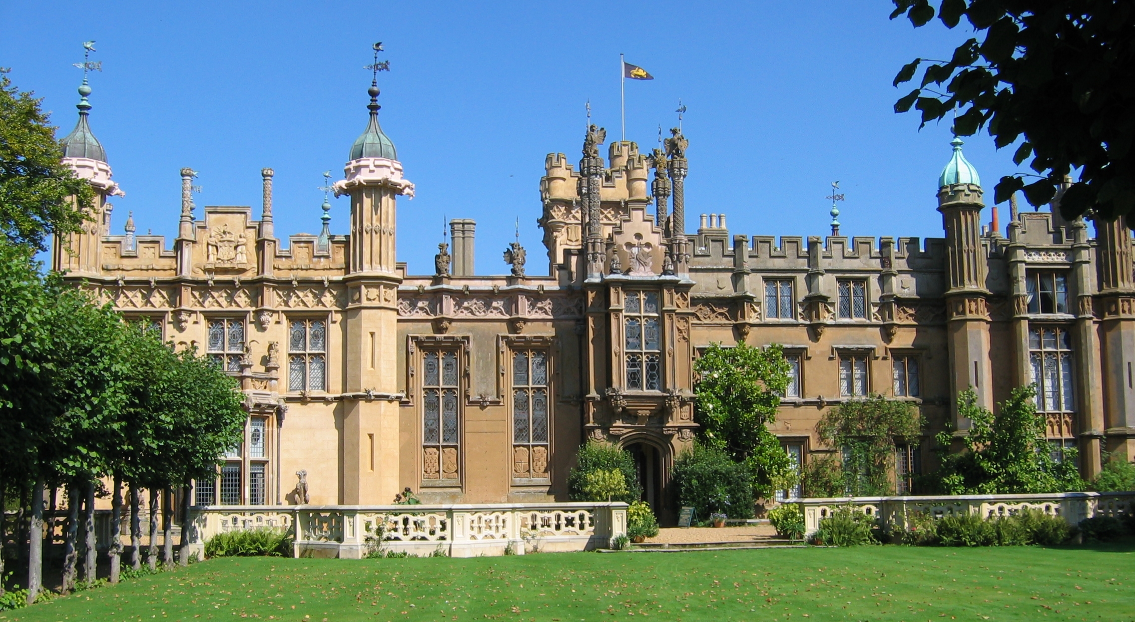
The Frythe
The Frythe is a country house set in its own grounds in rural Hertfordshire, just south of the village of Welwyn, about 30 miles north of London. ��2...
Hertfordshire
Hertfordshire ( HART-fərd-sheer or -shər; often abbreviated Herts) is a county in the East of England region and is one of the home counties. It borders...
Sherrardspark Wood
Sherrardspark Wood (grid reference TL230139) is a 74.9 hectares (185 acres) biological site of Special Scientific Interest in Welwyn Garden City, Hertfordshire...
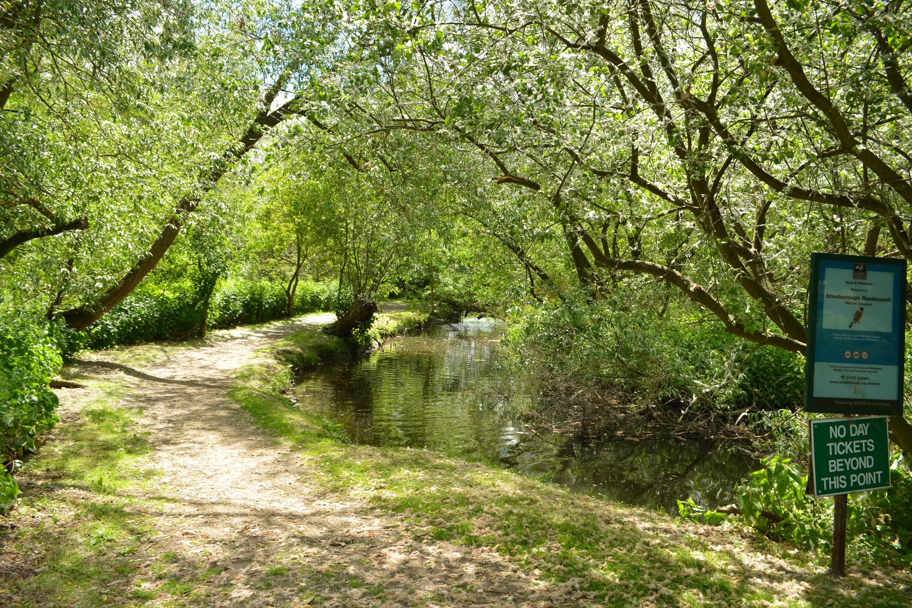
Stanborough Reedmarsh
Stanborough Reedmarsh is a 3.3 hectare Local Nature Reserve in Welwyn Garden City in Hertfordshire. It is owned by Welwyn Hatfield Borough Council and...
Nearby Amenities
Located within 500m of 51.816569,-0.23393576Have you been to Long Spring?
Leave your review of Long Spring below (or comments, questions and feedback).