Lucas's Wood

Wood, Forest in Hertfordshire North Hertfordshire

England

Lucas's Wood

Edge of Stevenage Taken from TL 237 268 looking towards Lister Hospital in the distance
Edge of Stevenage Credit: Paul Dixon

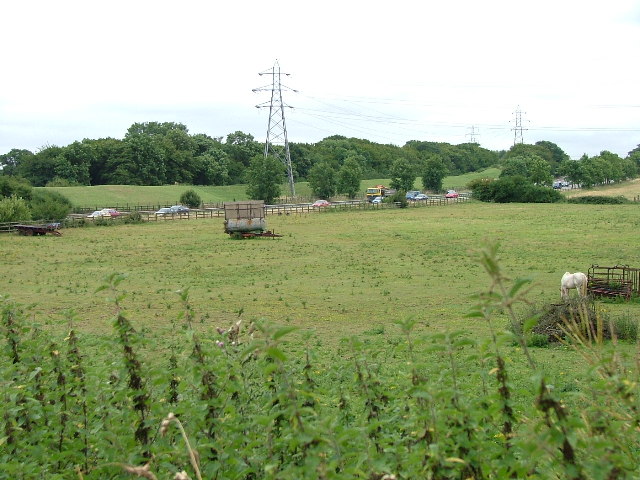
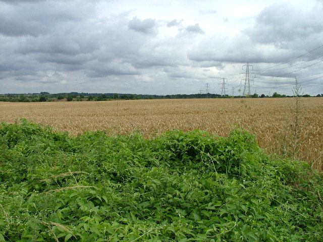
Lucas's Wood is a picturesque forest located in Hertfordshire, England. Covering an area of approximately 100 acres, this woodland has a rich history and offers visitors a tranquil and enchanting experience.

The wood is home to a diverse range of flora and fauna, including ancient oak trees, beech trees, and various wildflowers. The forest floor is adorned with a carpet of bluebells during the spring season, creating a stunning spectacle for nature enthusiasts. Lucas's Wood is also inhabited by a variety of bird species, such as woodpeckers, thrushes, and owls, making it a haven for birdwatchers.

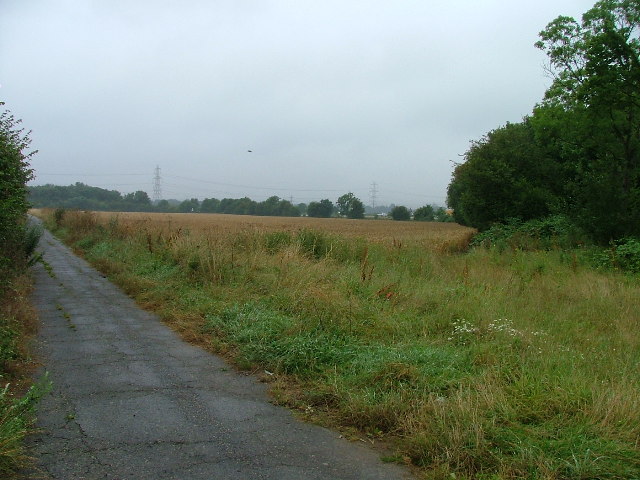
The forest provides numerous recreational opportunities for visitors. There are several well-marked trails that wind through the wood, allowing walkers and hikers to explore the area's natural beauty. The peaceful atmosphere makes it an ideal spot for picnics, meditation, or simply immersing oneself in the serenity of nature.

Lucas's Wood is steeped in history, with evidence of human activity dating back centuries. Archaeological remains, such as ancient burial mounds and remnants of Iron Age settlements, can be found within the wood. This adds an element of mystery and intrigue to the forest, making it a fascinating destination for history buffs.

Overall, Lucas's Wood in Hertfordshire offers a delightful escape from the hustle and bustle of everyday life. With its diverse flora and fauna, scenic trails, and historical significance, it provides a fulfilling experience for nature lovers, hikers, and those seeking a tranquil retreat.

If you have any feedback on the listing, please let us know in the comments section below.
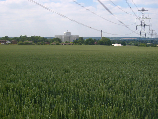
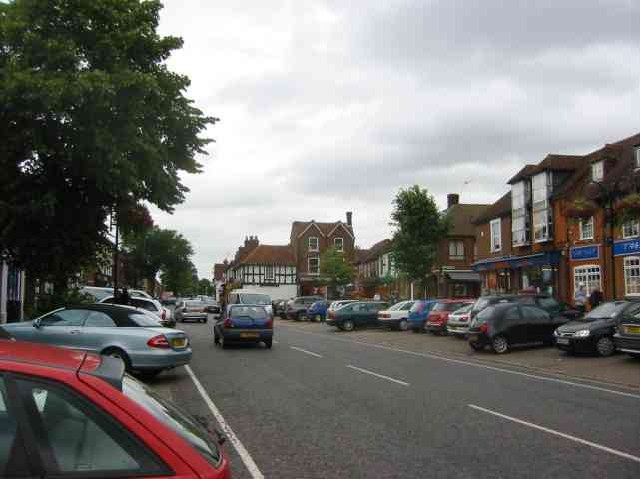
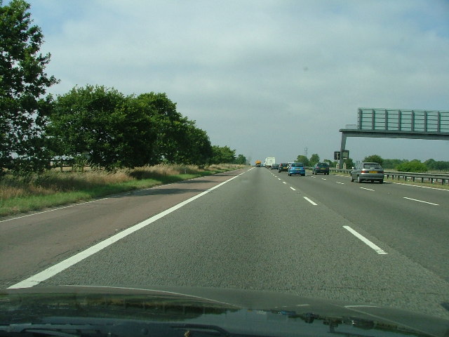
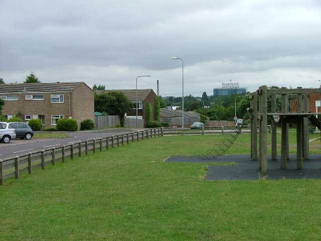
Lucas's Wood Images

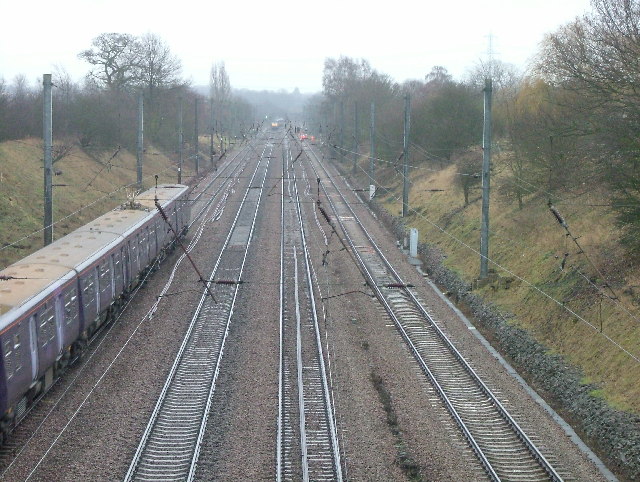
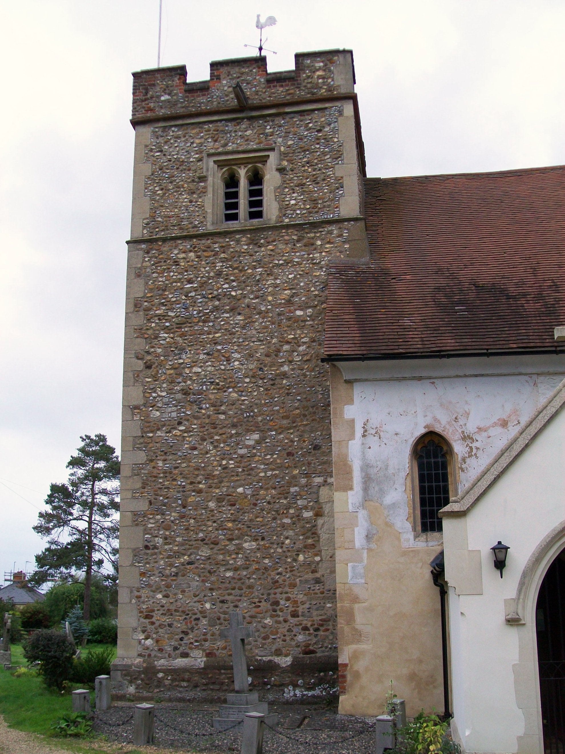
Images are sourced within 2km of 51.92004/-0.22979073 or Grid Reference TL2126. Thanks to Geograph Open Source API. All images are credited.

Edge of Stevenage Taken from TL 237 268 looking towards Lister Hospital in the distance
Edge of Stevenage
Taken from TL 237 268 looking towards Lister Hospital in the distance
Stevenage  Old Town Old towns suffer from the motor car especially when nose in parking is the rule
Stevenage Old Town
Old towns suffer from the motor car especially when nose in parking is the rule
A1(M) This really is the most interesting feature of this square, and the best thing to come out of Stevenage.
A1(M)
This really is the most interesting feature of this square, and the best thing to come out of Stevenage.
Scarborough Avenue playground. Taken from Scarborough Avenue playground, in the distance, past the houses, the Lister Hospital (TL2226) can be seen.
Scarborough Avenue playground.
Taken from Scarborough Avenue playground, in the distance, past the houses, the Lister Hospital (TL2226) can be seen.
A1(M) from Shangri  La Shangri La is actually the name of the Turkey farm just to the left of the place that the photograph was taken from.  Within a moment or two the horse to the left  spotted me and decided that I might be a good source of mints.
A1(M) from Shangri La
Shangri La is actually the name of the Turkey farm just to the left of the place that the photograph was taken from. Within a moment or two the horse to the left spotted me and decided that I might be a good source of mints.
Hermit of Redcoats at Titmore Green A well thought of local hostelry and restaurant.  I had considered submitting the duck pond the other side of the road but The Hermit is better known.
Hermit of Redcoats at Titmore Green
A well thought of local hostelry and restaurant. I had considered submitting the duck pond the other side of the road but The Hermit is better known.
Warehouse on Crompton Rd This industrial estate consists of small units and this one could be any of them.  A hundred yards behind me when I took this photograph is the A1(M), but you wouldn't know it from here and a couple of hundred yards further than that is an old Roman road.
Warehouse on Crompton Rd
This industrial estate consists of small units and this one could be any of them. A hundred yards behind me when I took this photograph is the A1(M), but you wouldn't know it from here and a couple of hundred yards further than that is an old Roman road.
Wymondley House Wymondley House has been converted into (very nice) apartments.
Wymondley House
Wymondley House has been converted into (very nice) apartments.
Ashbrook Ashbrook is really only a farm (which seems to have found space for a self store facility).  This photograph is taken facing north.
Ashbrook
Ashbrook is really only a farm (which seems to have found space for a self store facility). This photograph is taken facing north.
Grinders End, Gravely This photograph is taken from Grinders end looking towards the A1(M) photo for this square.  The gantry in the other photo is hidden just behind the bushes on the right.
Grinders End, Gravely
This photograph is taken from Grinders end looking towards the A1(M) photo for this square. The gantry in the other photo is hidden just behind the bushes on the right.
Lower Titmore Green This looks like a modern barn conversion to me.  Lower Titmore Green consists of about 6 houses.
Lower Titmore Green
This looks like a modern barn conversion to me. Lower Titmore Green consists of about 6 houses.
Wymondley Main Transforming Station It hums.  And there is a telephone mast.  And there is a sign that says "Danger of Death".
Wymondley Main Transforming Station
It hums. And there is a telephone mast. And there is a sign that says "Danger of Death".
St Mary's Church Little Wymondley. Tucked away and up a track, this charming little church needs a bit of money spent on it.  Some might need to be spent on soundproofing since it is really close to the main north-south line from Kings Cross.
St Mary's Church Little Wymondley.
Tucked away and up a track, this charming little church needs a bit of money spent on it. Some might need to be spent on soundproofing since it is really close to the main north-south line from Kings Cross.
Wymondley Baptist Church. Right on the main street through Little Wymondley.
Wymondley Baptist Church.
Right on the main street through Little Wymondley.
Little Wymondley - Railway bridge and street. This used to be the main Stevenage - Hitchin road.  There is now a bypass and as a result the village is much quieter.  This view is facing west down the street towards the railway bridge.
Little Wymondley - Railway bridge and street.
This used to be the main Stevenage - Hitchin road. There is now a bypass and as a result the village is much quieter. This view is facing west down the street towards the railway bridge.
Wymondley JMI School. The only school to serve the village.  Older children will go into Stevenage or Hitchin from here.
Wymondley JMI School.
The only school to serve the village. Older children will go into Stevenage or Hitchin from here.
From the Arch Road bridge. On the left the slow train in the centre an express and to the right some men working and keeping well away from the trains.  This is the main Kings Cross - north line.
From the Arch Road bridge.
On the left the slow train in the centre an express and to the right some men working and keeping well away from the trains. This is the main Kings Cross - north line.
The Transfiguration of Our Lord  Catholic Church.  Grove Road Stevenage. This modern catholic church is a bit oddly placed in a residential street.  Oh Lord won't you buy me a Peugeot 206.
The Transfiguration of Our Lord Catholic Church. Grove Road Stevenage.
This modern catholic church is a bit oddly placed in a residential street. Oh Lord won't you buy me a Peugeot 206.
Show me another place!

Lucas's Wood is located at Grid Ref: TL2126 (Lat: 51.92004, Lng: -0.22979073)

Administrative County: Hertfordshire

District: North Hertfordshire

Police Authority: Hertfordshire

What 3 Words

///foods.refuse.points. Near Stevenage, Hertfordshire

Related Wikis

Symonds Green

Symonds Green is a neighbourhood within the English new town of Stevenage in Hertfordshire. Although predominantly a residential area with a mixture of...

The Saint John Henry Newman Catholic School

The Saint John Henry Newman School is a Roman Catholic secondary school with academy status in Stevenage, Hertfordshire, England. In its most recent Ofsted...

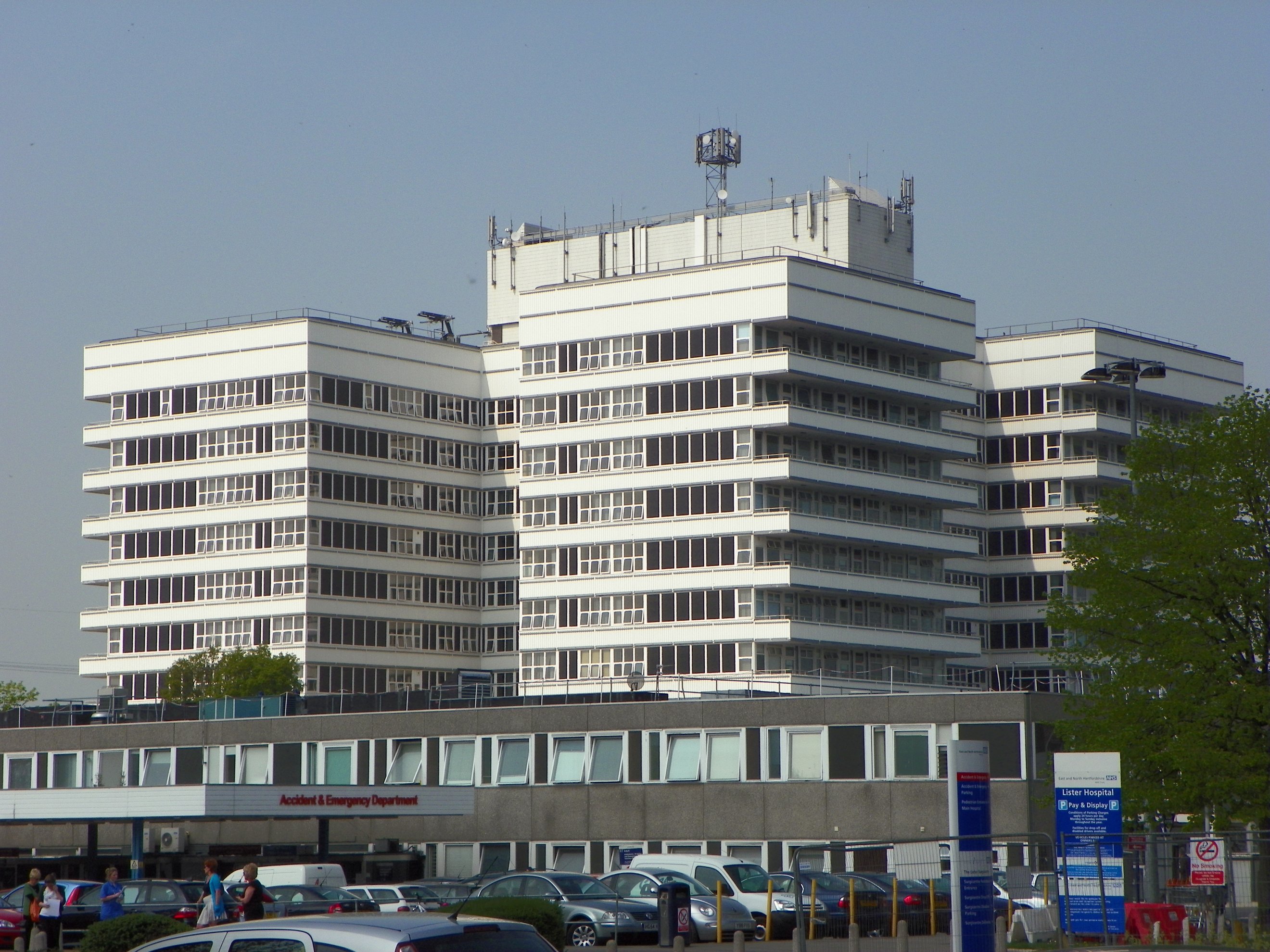
Lister Hospital, Stevenage

The Lister Hospital is an NHS hospital based on the outskirts of Stevenage in Hertfordshire. It is operated by the East and North Hertfordshire NHS Trust...

Little Wymondley

Little Wymondley is a village and former civil parish situated between Hitchin and Stevenage, now in the parish of Wymondley, in the North Hertfordshire...

Wymondley College

Wymondley College was a dissenting academy at Wymondley House in Little Wymondley, Hertfordshire, England. Intended for the education of future nonconformist...

Wymondley House

Wymondley House is a building in the North Hertfordshire village of Little Wymondley that was built in 1724. At one time the home of a dissenting academy...

The Thomas Alleyne Academy

The Thomas Alleyne Academy is an Academy in Stevenage, Hertfordshire, England. It was founded in 2013, but can trace its roots back to 1558, when the...

Wymondley

Wymondley is a civil parish in Hertfordshire, England. The parish was created on 1 April 1937 as a merger of the two former parishes of Great Wymondley...

Nearby Amenities

Located within 500m of 51.92004,-0.22979073
Todds Green
Place: village
Lat/Long: 51.9227094/-0.2258098
Mini Roundabout
Direction: clockwise
Lat/Long: 51.9226305/-0.2260049
Barrier: kissing_gate
Lat/Long: 51.920033/-0.2283878
Barrier: kissing_gate
Lat/Long: 51.9219982/-0.2342871
Barrier: kissing_gate
Lat/Long: 51.9206617/-0.2299462
Barrier: kissing_gate
Lat/Long: 51.9166187/-0.230203
Power: tower
Lat/Long: 51.9185012/-0.2255768
Note: FIXME - needs to be surveyed
Power: tower
Lat/Long: 51.921067/-0.2279728
Fixme: This footpath should continue through the pub but it isn't clear where it goes - resurvey
Lat/Long: 51.9195734/-0.2236663
Note: Signpost here marks end of bridleway
Lat/Long: 51.9202773/-0.2345739
Barrier: kissing_gate
Lat/Long: 51.9181438/-0.2304366
Barrier: kissing_gate
Lat/Long: 51.9219535/-0.2363361
Phone
Check Date: 2023-01-12
Emergency: phone
Lat/Long: 51.9205556/-0.2244204
Post Box
Collection Times: Mo-Fr 17:30; Sa 12:15
Post Box Design: type_m
Post Box Type: lamp
Ref: SG1 115
Royal Cypher: EIIR
Royal Cypher Wikidata: Q33102113
Lat/Long: 51.923374/-0.226078
Traffic Calming: island
Lat/Long: 51.9221933/-0.2259526
Power: tower
Lat/Long: 51.9233387/-0.2300945
Barrier: kissing_gate
Lat/Long: 51.9191801/-0.227836
Barrier: kissing_gate
Lat/Long: 51.9210095/-0.2310423
Waste Basket
Lat/Long: 51.9195498/-0.2230646
Waste Basket
Lat/Long: 51.9190337/-0.2246216
Barrier: bollard
Lat/Long: 51.9205469/-0.2234751
Waste Basket
Lat/Long: 51.920554/-0.2232349
Material: wood
Power: pole
Lat/Long: 51.9218087/-0.2364032
Material: wood
Power: pole
Lat/Long: 51.9175564/-0.2358373
The data included in this document is from www.openstreetmap.org. The data is made available under ODbL.

Have you been to Lucas's Wood?

Leave your review of Lucas's Wood below (or comments, questions and feedback).