Bury Wood
Wood, Forest in Hertfordshire North Hertfordshire
England
Bury Wood
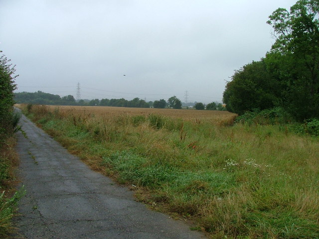
Bury Wood is a picturesque woodland located in Hertfordshire, England. Covering an area of approximately 100 acres, it is known for its natural beauty and diverse wildlife. The wood is situated close to the village of Bury Green, making it easily accessible for nature enthusiasts and walkers.
The wood is predominantly made up of broadleaf trees, such as oak, beech, and birch, which create a dense canopy and provide shelter for a variety of animals. The forest floor is covered in a carpet of vibrant wildflowers during the spring and summer months, adding to its charm.
Bury Wood offers a peaceful and tranquil atmosphere, making it an ideal spot for those seeking solace in nature. It is a popular destination for hikers, birdwatchers, and photographers, who come to explore the numerous walking trails and capture the beauty of the landscape.
The wood is home to a rich array of wildlife, including deer, foxes, badgers, and a wide variety of bird species. It provides a valuable habitat for many different types of insects, butterflies, and small mammals. Nature lovers can often spot rare species and observe the woodland ecosystem thriving.
Maintained by local conservation groups, Bury Wood is well-preserved and offers a glimpse into the natural heritage of Hertfordshire. Visitors are encouraged to respect the environment and adhere to guidelines to ensure the protection of this precious woodland.
If you have any feedback on the listing, please let us know in the comments section below.
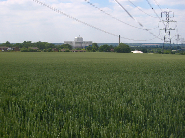
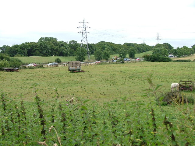
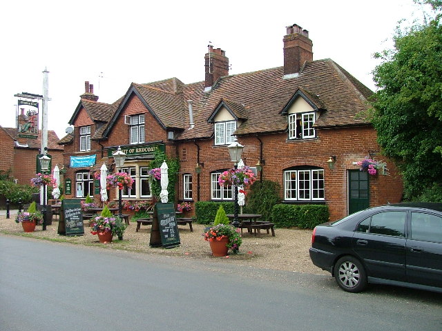
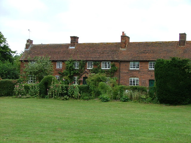
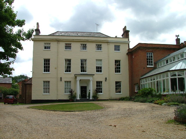
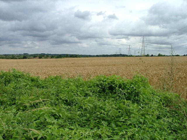
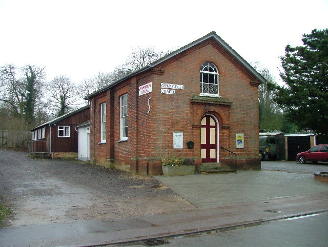
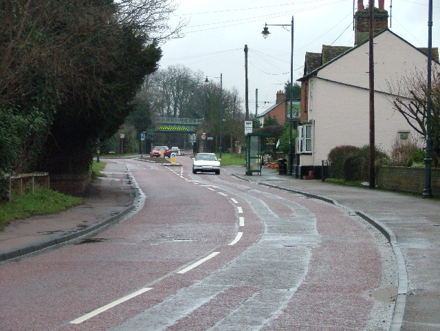
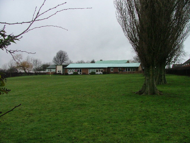
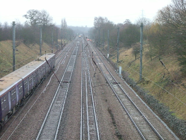
Bury Wood Images
Images are sourced within 2km of 51.925634/-0.22984698 or Grid Reference TL2126. Thanks to Geograph Open Source API. All images are credited.


Bury Wood is located at Grid Ref: TL2126 (Lat: 51.925634, Lng: -0.22984698)
Administrative County: Hertfordshire
District: North Hertfordshire
Police Authority: Hertfordshire
What 3 Words
///candle.body.grin. Near Stevenage, Hertfordshire
Nearby Locations
Related Wikis
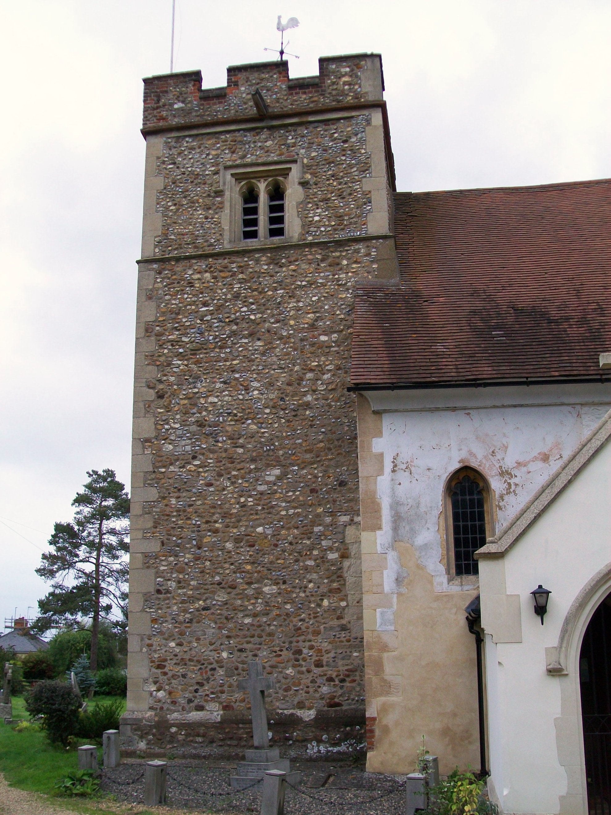
Little Wymondley
Little Wymondley is a village and former civil parish situated between Hitchin and Stevenage, now in the parish of Wymondley, in the North Hertfordshire...

Wymondley College
Wymondley College was a dissenting academy at Wymondley House in Little Wymondley, Hertfordshire, England. Intended for the education of future nonconformist...
Wymondley House
Wymondley House is a building in the North Hertfordshire village of Little Wymondley that was built in 1724. At one time the home of a dissenting academy...
Wymondley
Wymondley is a civil parish in Hertfordshire, England. The parish was created on 1 April 1937 as a merger of the two former parishes of Great Wymondley...
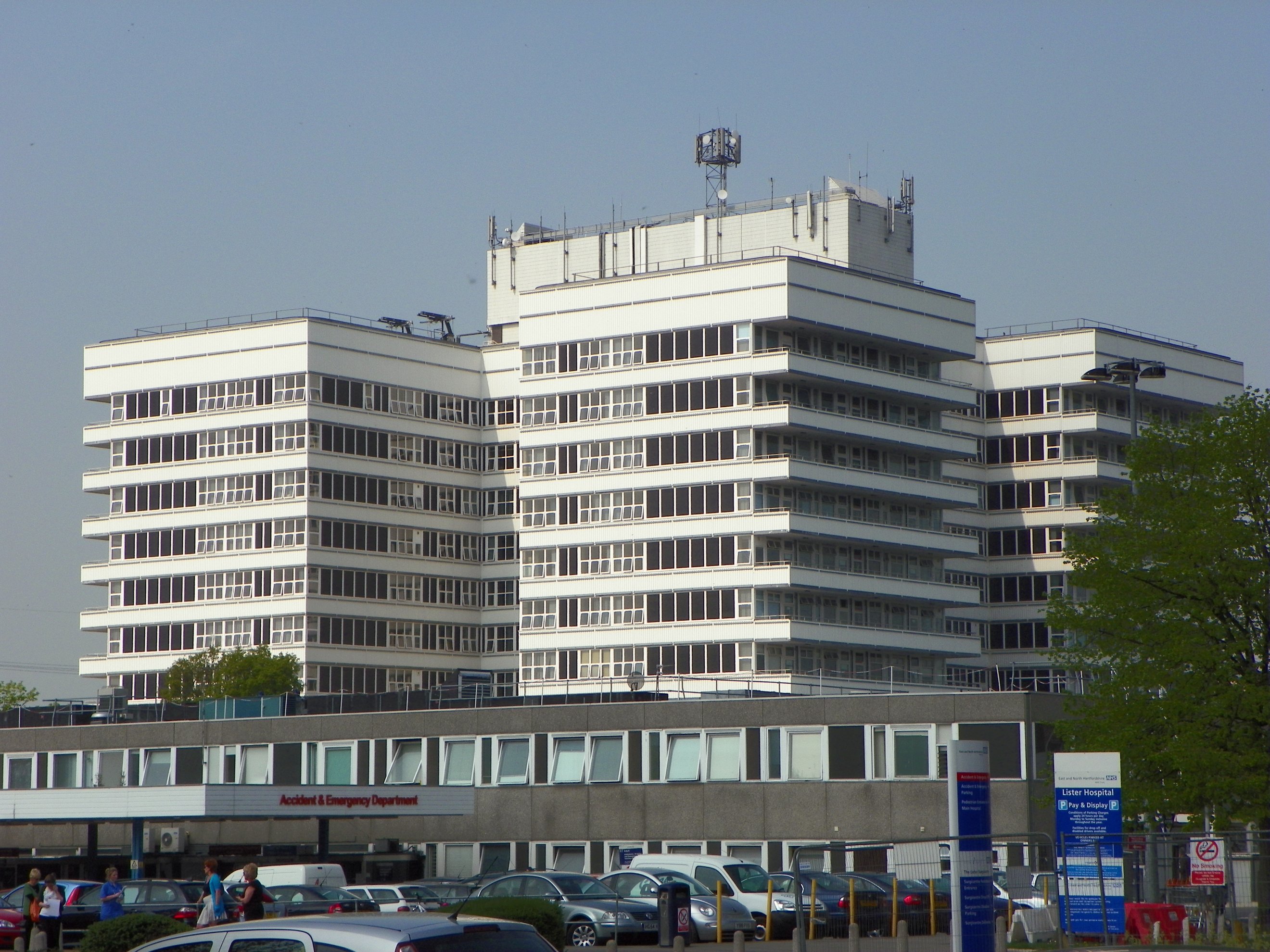
Lister Hospital, Stevenage
The Lister Hospital is an NHS hospital based on the outskirts of Stevenage in Hertfordshire. It is operated by the East and North Hertfordshire NHS Trust...

The Saint John Henry Newman Catholic School
The Saint John Henry Newman School is a Roman Catholic secondary school with academy status in Stevenage, Hertfordshire, England. In its most recent Ofsted...

Symonds Green
Symonds Green is a neighbourhood within the English new town of Stevenage in Hertfordshire. Although predominantly a residential area with a mixture of...

Graveley, Hertfordshire
Graveley is a village and civil parish about four miles east of Hitchin and two miles north of Stevenage in Hertfordshire, England. The population of the...
Nearby Amenities
Located within 500m of 51.925634,-0.22984698Have you been to Bury Wood?
Leave your review of Bury Wood below (or comments, questions and feedback).