Crockingham Wood
Wood, Forest in Surrey Epsom and Ewell
England
Crockingham Wood
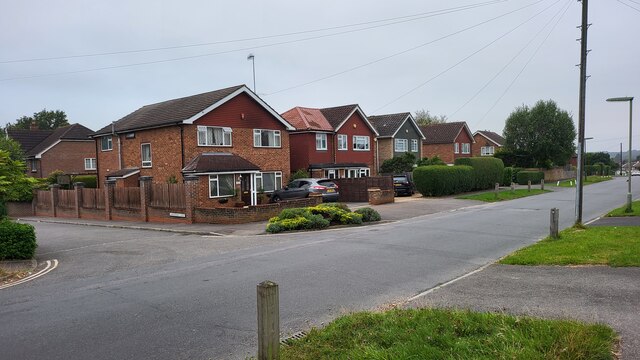
Crockingham Wood is a picturesque forest located in the county of Surrey, England. Nestled amidst the rolling hills and verdant countryside, this woodland is a haven for nature enthusiasts and outdoor lovers alike. With its diverse range of flora and fauna, Crockingham Wood offers a tranquil retreat from the hustle and bustle of urban life.
Covering an area of approximately 100 acres, the wood is primarily composed of deciduous trees such as oak, beech, and birch, which create a stunning canopy of vibrant colors during the autumn months. The forest floor is adorned with an array of wildflowers, including bluebells and primroses, adding to the area's natural beauty.
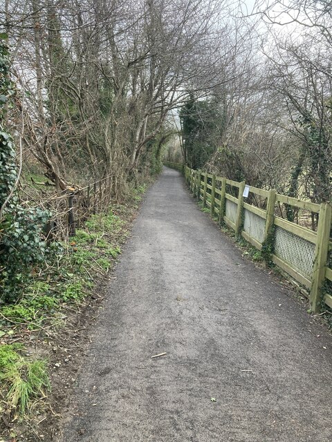
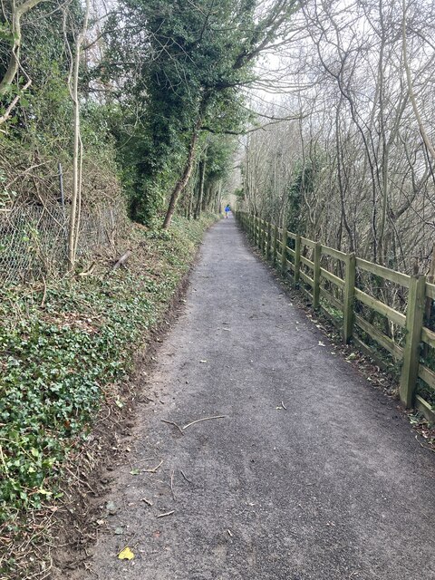
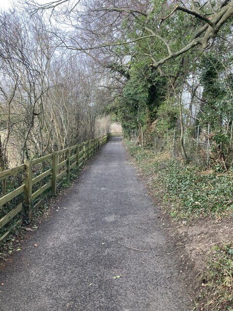
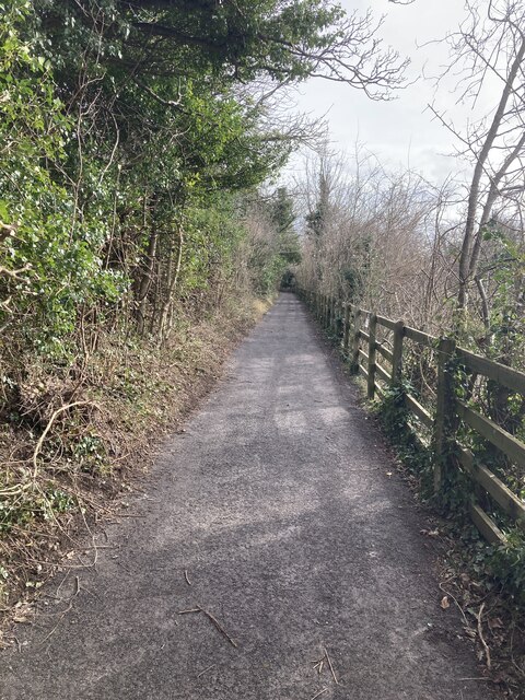
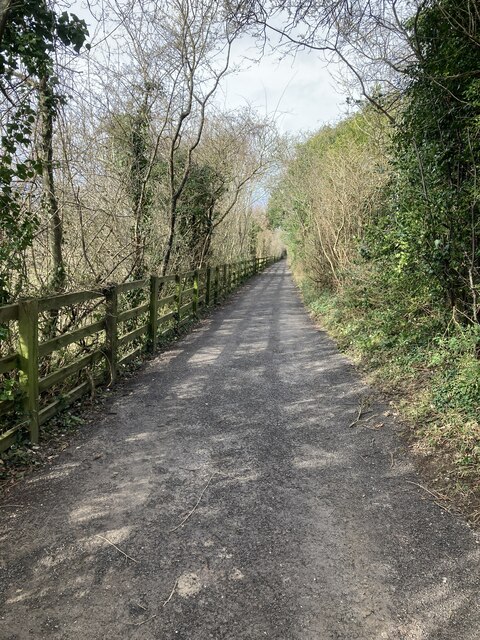
A network of well-maintained footpaths and trails wind their way through the wood, providing visitors with an opportunity to explore its enchanting surroundings. These paths lead to hidden clearings, bubbling streams, and secluded picnic spots, making it an ideal destination for family outings or romantic strolls.
Crockingham Wood is also home to a rich and diverse wildlife population. Deer, foxes, and squirrels can often be spotted darting through the undergrowth, while a variety of bird species, including woodpeckers and owls, fill the air with their melodious calls.
Managed by the local Surrey Wildlife Trust, the wood is carefully preserved to maintain its natural integrity and protect its inhabitants. Regular conservation efforts and educational programs are undertaken to ensure the sustainable future of this remarkable woodland.
Overall, Crockingham Wood offers visitors a chance to immerse themselves in nature's beauty, providing a peaceful and captivating experience for all who venture within its leafy embrace.
If you have any feedback on the listing, please let us know in the comments section below.
Crockingham Wood Images
Images are sourced within 2km of 51.318145/-0.26657664 or Grid Reference TQ2059. Thanks to Geograph Open Source API. All images are credited.


Crockingham Wood is located at Grid Ref: TQ2059 (Lat: 51.318145, Lng: -0.26657664)
Administrative County: Surrey
District: Epsom and Ewell
Police Authority: Surrey
What 3 Words
///tester.merit.duke. Near Epsom, Surrey
Nearby Locations
Related Wikis

Woodcote Park
Woodcote Park is a Grade II* listed stately home and estate of about 350 acres (1.4 km2; 0.5 sq mi) near Epsom, Surrey, England, currently owned by the...

Epsom Hospital
Epsom Hospital is a teaching hospital in Epsom, Surrey, England. The hospital is situated on Dorking Road 1 kilometre (0.62 mi) south east of the centre...

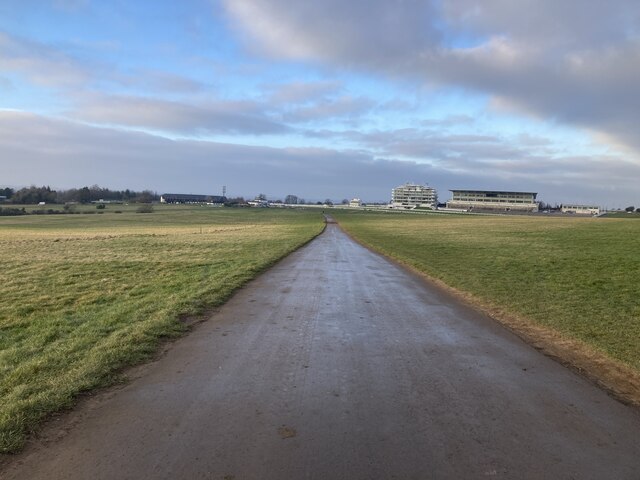
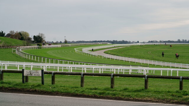
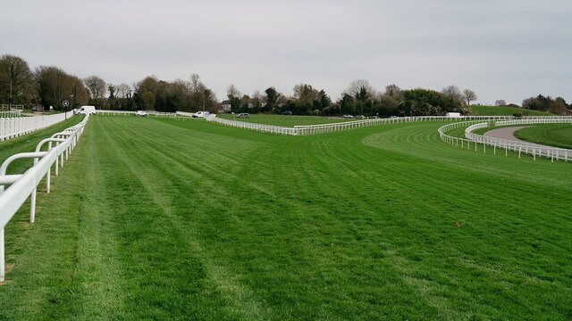
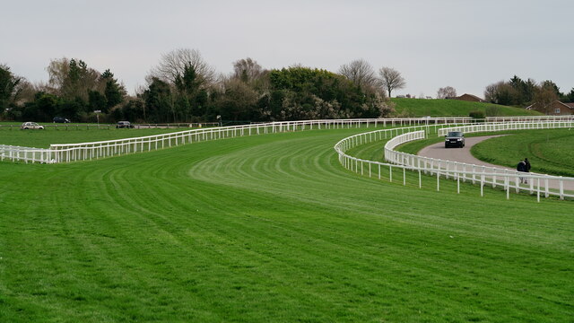
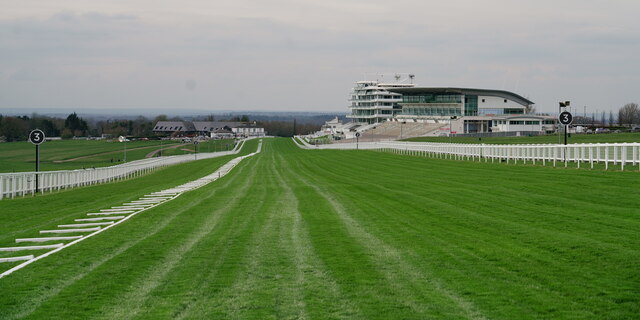
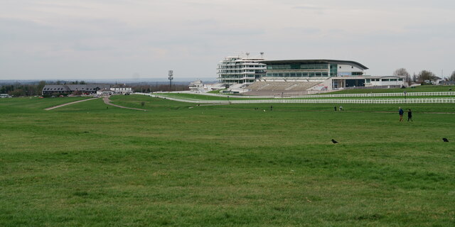
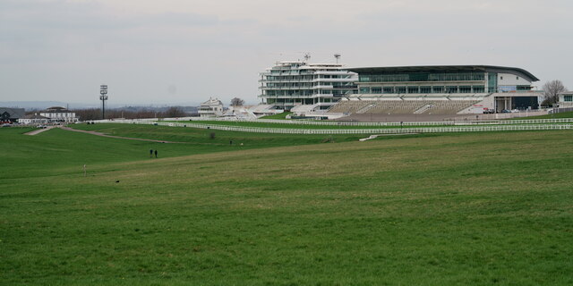
Epsom Downs Racecourse
Epsom Downs is a Grade 1 racecourse on the hills associated with Epsom in Surrey, England which is used for thoroughbred horse racing. The "Downs" referred...

Epsom Down
Epsom Down in the southern town outlands of Epsom was used as a venue for two first-class cricket matches between 1816 and 1819. Both were between the...

Epsom (UK Parliament constituency)
Epsom was a borough constituency represented in the House of Commons of the Parliament of the United Kingdom. It elected one Member of Parliament (MP)...

Epsom and Ewell (UK Parliament constituency)
Epsom and Ewell is a constituency in Surrey represented in the House of Commons of the UK Parliament since 2001 by Chris Grayling, a Conservative. �...
Langley Vale
Langley Vale is a village in the Borough of Epsom and Ewell, in Surrey, England, approximately 15 miles (24 km) south of central London. As its name suggests...
Rosebery School for Girls
Rosebery School is an all-girls school located in Epsom, Surrey. It consists of a lower school for those aged between 11 and 16, and a sixth form for those...
Nearby Amenities
Located within 500m of 51.318145,-0.26657664Have you been to Crockingham Wood?
Leave your review of Crockingham Wood below (or comments, questions and feedback).