Woodcote Grove
Wood, Forest in Surrey Epsom and Ewell
England
Woodcote Grove

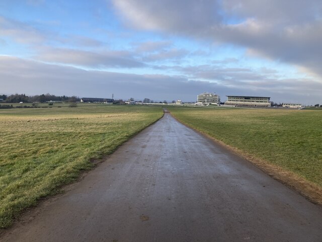
Woodcote Grove is a historic estate located in the county of Surrey, England. Situated in the village of Woodcote, near the town of Coulsdon, it is nestled amongst the scenic woodlands and forests characteristic of the area. The estate spans over 300 acres, comprising a mix of woodland, meadows, and gardens.
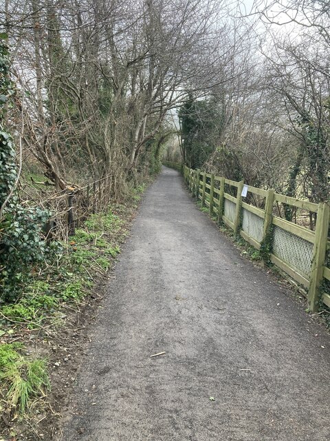
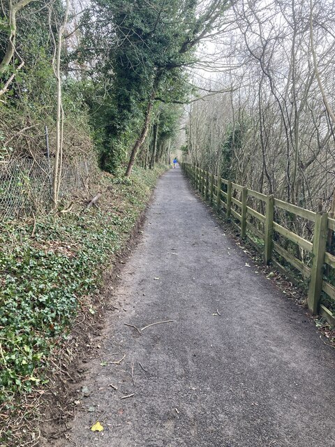
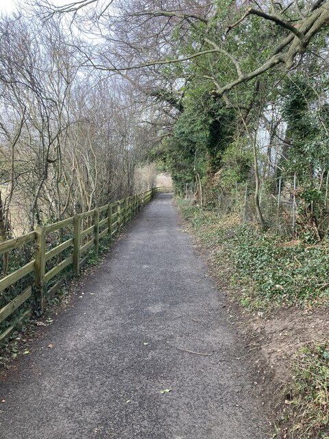
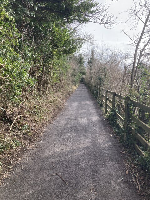
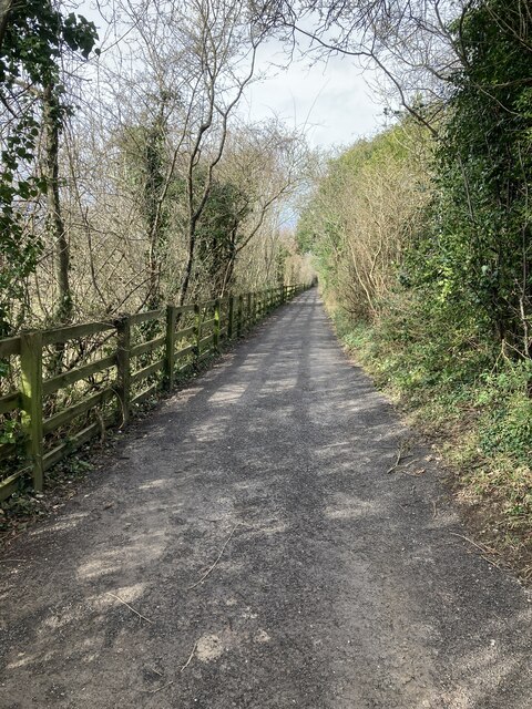
One of the notable features of Woodcote Grove is its large woodland area, which covers a significant portion of the estate. This dense forest is home to a variety of tree species, including oak, birch, beech, and pine, creating a diverse and picturesque landscape. The woodlands provide a habitat for numerous wildlife species, making it a popular spot for nature enthusiasts and walkers.
Within the estate, there are also well-maintained gardens and meadows that offer a tranquil setting for relaxation and recreation. These manicured spaces are adorned with colorful flowerbeds, ornamental shrubs, and well-groomed lawns, providing a beautiful contrast to the surrounding natural woodlands.
Woodcote Grove has a rich history, with records dating back to the 16th century. Over the years, it has been owned by various distinguished families and has undergone several renovations and expansions. Today, it serves as a private residence and is not open to the public, adding to its air of exclusivity and charm.
Overall, Woodcote Grove in Surrey is a stunning estate that combines the beauty of nature with the elegance of historic architecture. Its woodlands, gardens, and meadows make it a true gem in the heart of Surrey's countryside.
If you have any feedback on the listing, please let us know in the comments section below.
Woodcote Grove Images
Images are sourced within 2km of 51.324543/-0.26690951 or Grid Reference TQ2059. Thanks to Geograph Open Source API. All images are credited.


Woodcote Grove is located at Grid Ref: TQ2059 (Lat: 51.324543, Lng: -0.26690951)
Administrative County: Surrey
District: Epsom and Ewell
Police Authority: Surrey
What 3 Words
///coach.brief.bids. Near Epsom, Surrey
Nearby Locations
Related Wikis
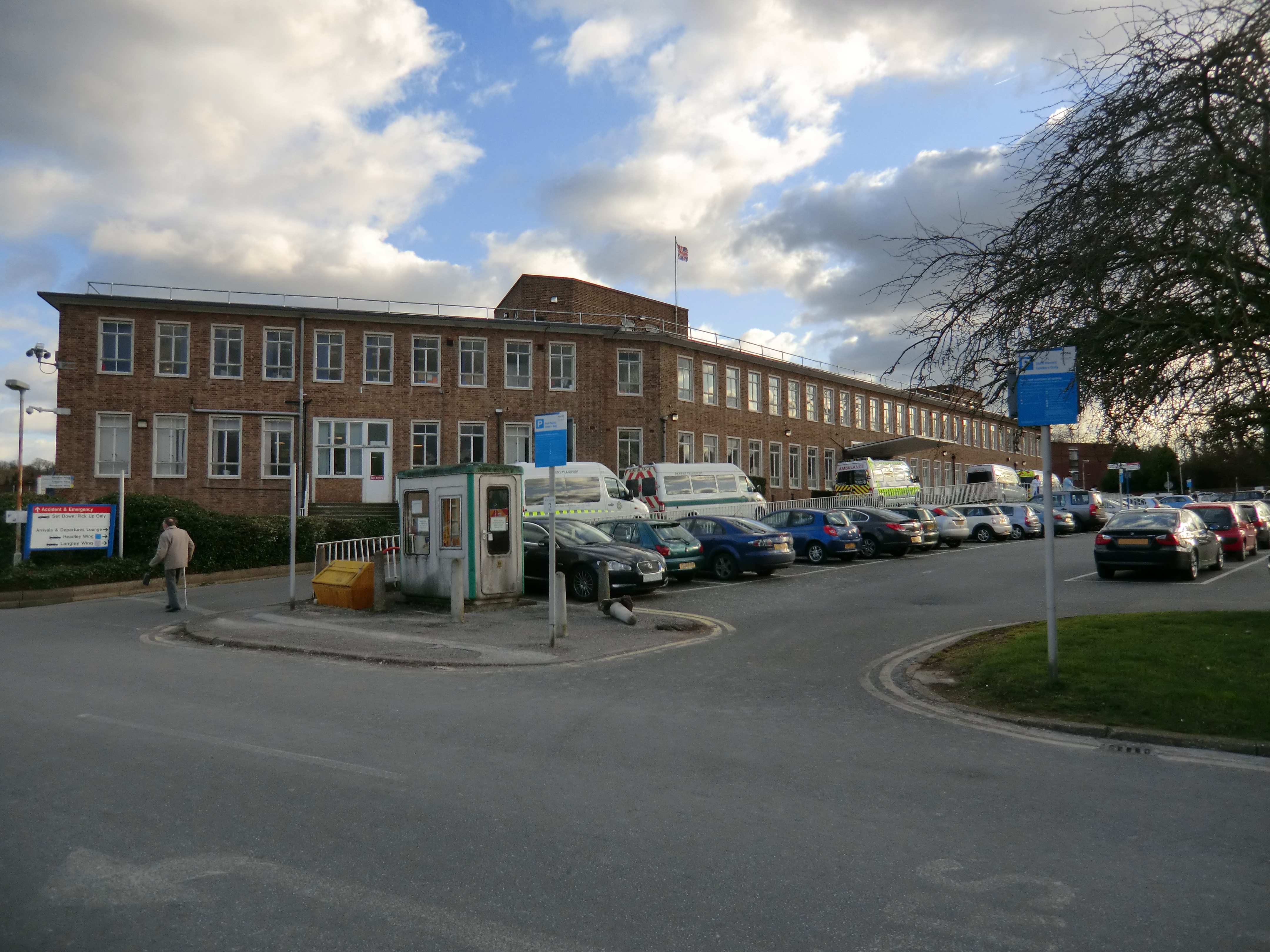
Epsom Hospital
Epsom Hospital is a teaching hospital in Epsom, Surrey, England. The hospital is situated on Dorking Road 1 kilometre (0.62 mi) south east of the centre...

Epsom (UK Parliament constituency)
Epsom was a borough constituency represented in the House of Commons of the Parliament of the United Kingdom. It elected one Member of Parliament (MP)...

Epsom and Ewell (UK Parliament constituency)
Epsom and Ewell is a constituency in Surrey represented in the House of Commons of the UK Parliament since 2001 by Chris Grayling, a Conservative. �...

Epsom Playhouse
Epsom Playhouse is the main theatre in Epsom and Ewell, Surrey, England. == Performances == This 406-seat theatre hosts internationally travelling casts...

Epsom riot
The Epsom riot took place on 17 June 1919 when between 300 and 800 Canadian soldiers rioted and attacked the police station in Epsom, Surrey, England....
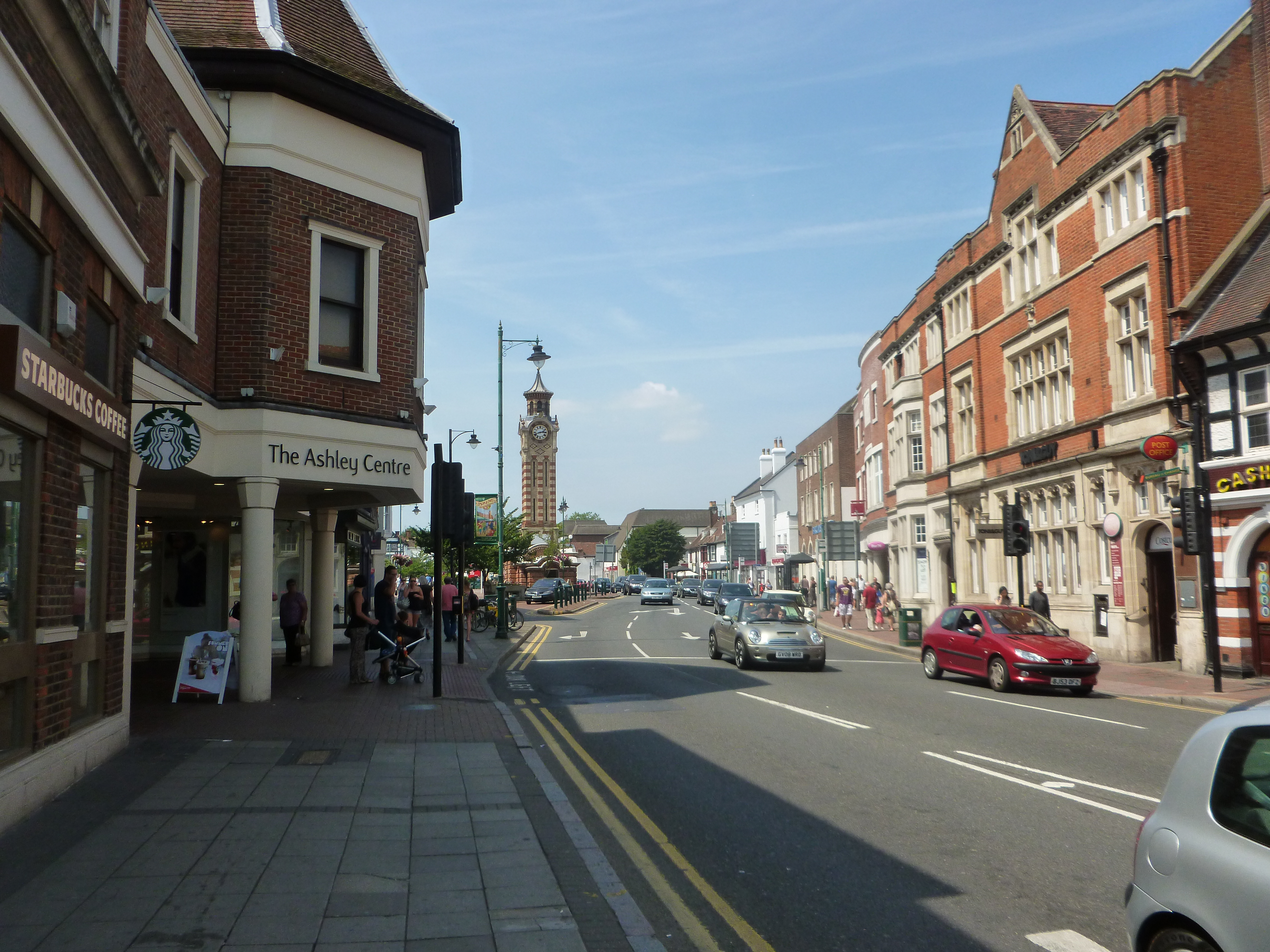
The Ashley Centre
The Ashley Centre (for a brief period rebranded The Mall Ashley) is a shopping centre, in Epsom, Surrey. The Ashley Centre was opened on 24 October 1984...

Rosebery School for Girls
Rosebery School is an all-girls school located in Epsom, Surrey. It consists of a lower school for those aged between 11 and 16, and a sixth form for those...

St Martin of Tours church, Epsom
St Martin of Tours church, Epsom is a Grade II* listed building, number 1028592, in Church Street, Epsom, Surrey, KT17 4PX. The flint tower dates from...
Nearby Amenities
Located within 500m of 51.324543,-0.26690951Have you been to Woodcote Grove?
Leave your review of Woodcote Grove below (or comments, questions and feedback).