Upper Woodcote Green
Wood, Forest in Surrey Epsom and Ewell
England
Upper Woodcote Green
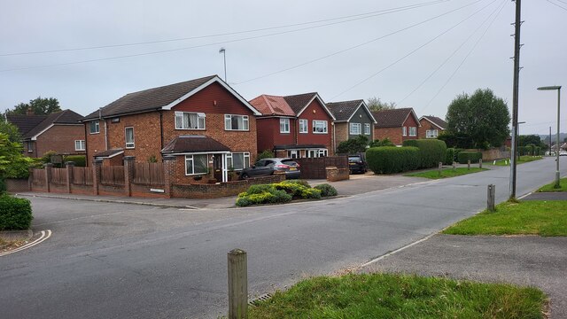
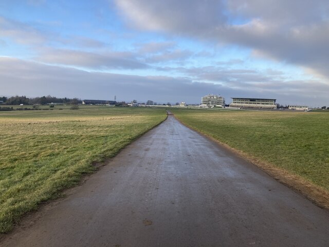
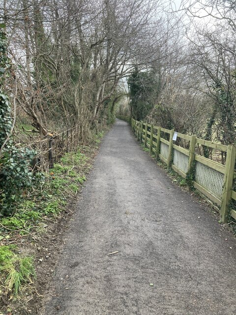
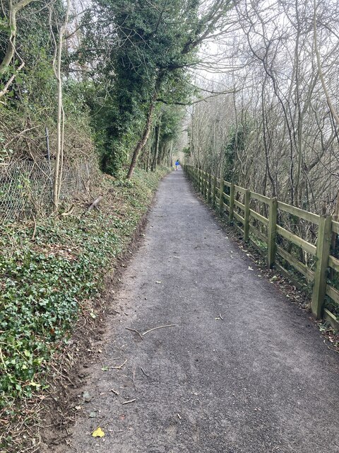
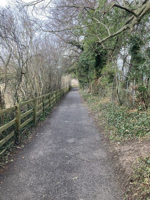
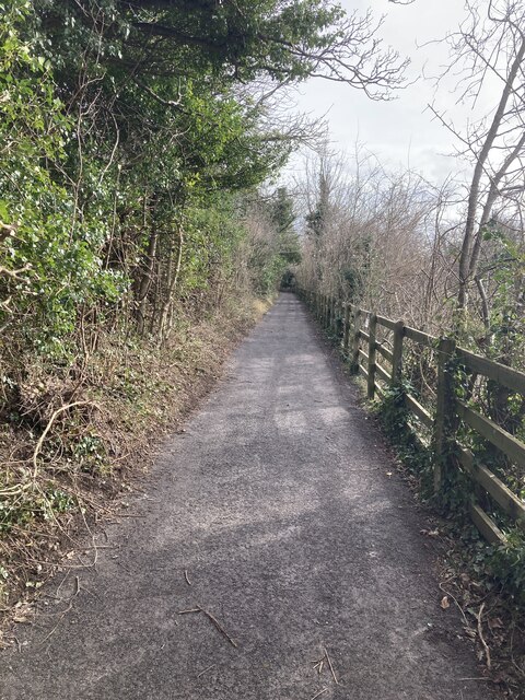
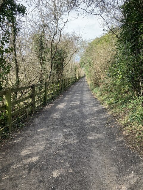
Upper Woodcote Green is a small residential area located in the county of Surrey, England. Situated within the larger Woodcote Green, it is known for its tranquil and picturesque surroundings, making it an ideal place to live for those seeking a peaceful lifestyle. The area is characterized by its dense forest cover, which provides a beautiful natural backdrop and offers residents a chance to connect with nature.
The properties in Upper Woodcote Green primarily consist of detached houses, each nestled within their own spacious plot of land. Many of these homes feature traditional architectural styles, adding to the area's charm and character. The neighborhood is known for its well-maintained gardens, with residents taking pride in their outdoor spaces.
Upper Woodcote Green is well-served by amenities, with nearby shops, schools, and recreational facilities easily accessible. The Woodcote Green Garden Centre, located just a short distance away, offers a range of plant species, gardening supplies, and a café, making it a popular destination for both locals and visitors alike.
In addition to its natural beauty, Upper Woodcote Green benefits from excellent transport links. The nearby A217 road provides easy access to the neighboring towns and cities, including Sutton and Croydon, while the Woodmansterne railway station offers regular train services to London and other destinations.
Overall, Upper Woodcote Green offers a harmonious blend of natural beauty, peaceful living, and convenient amenities, making it an attractive place to reside in the heart of Surrey.
If you have any feedback on the listing, please let us know in the comments section below.
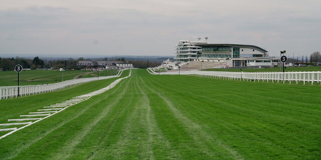
Upper Woodcote Green Images
Images are sourced within 2km of 51.321888/-0.26916236 or Grid Reference TQ2059. Thanks to Geograph Open Source API. All images are credited.


Upper Woodcote Green is located at Grid Ref: TQ2059 (Lat: 51.321888, Lng: -0.26916236)
Administrative County: Surrey
District: Epsom and Ewell
Police Authority: Surrey
What 3 Words
///coherent.burst.tried. Near Epsom, Surrey
Nearby Locations
Related Wikis
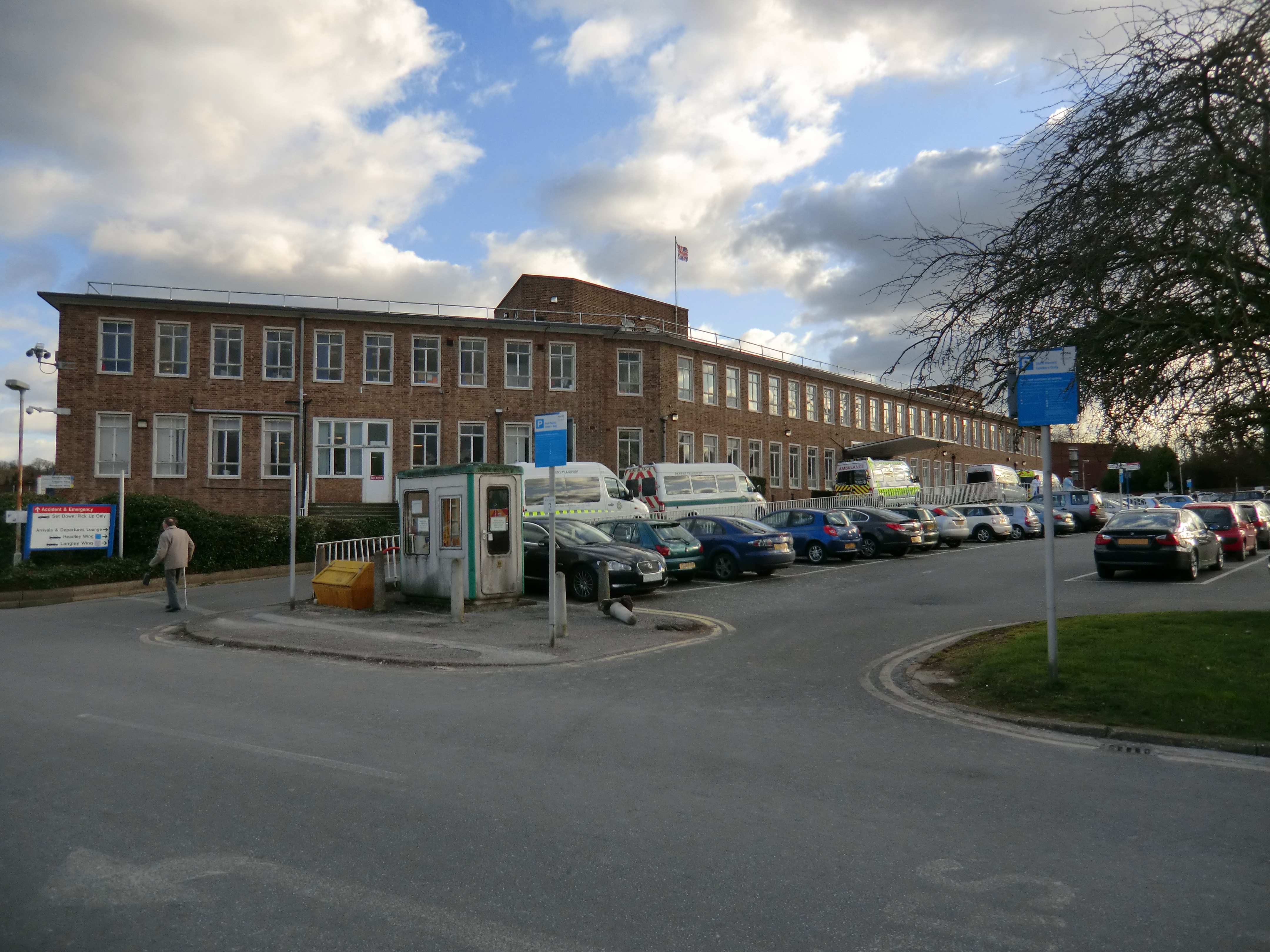
Epsom Hospital
Epsom Hospital is a teaching hospital in Epsom, Surrey, England. The hospital is situated on Dorking Road 1 kilometre (0.62 mi) south east of the centre...

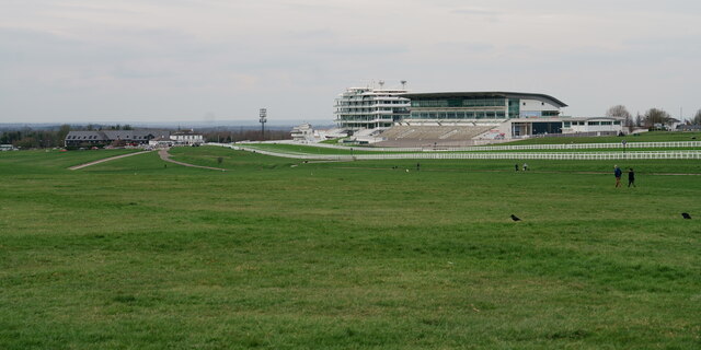
Woodcote Park
Woodcote Park is a Grade II* listed stately home and estate of about 350 acres (1.4 km2; 0.5 sq mi) near Epsom, Surrey, England, currently owned by the...

Epsom (UK Parliament constituency)
Epsom was a borough constituency represented in the House of Commons of the Parliament of the United Kingdom. It elected one Member of Parliament (MP)...

Epsom and Ewell (UK Parliament constituency)
Epsom and Ewell is a constituency in Surrey represented in the House of Commons of the UK Parliament since 2001 by Chris Grayling, a Conservative. �...

Rosebery School for Girls
Rosebery School is an all-girls school located in Epsom, Surrey. It consists of a lower school for those aged between 11 and 16, and a sixth form for those...
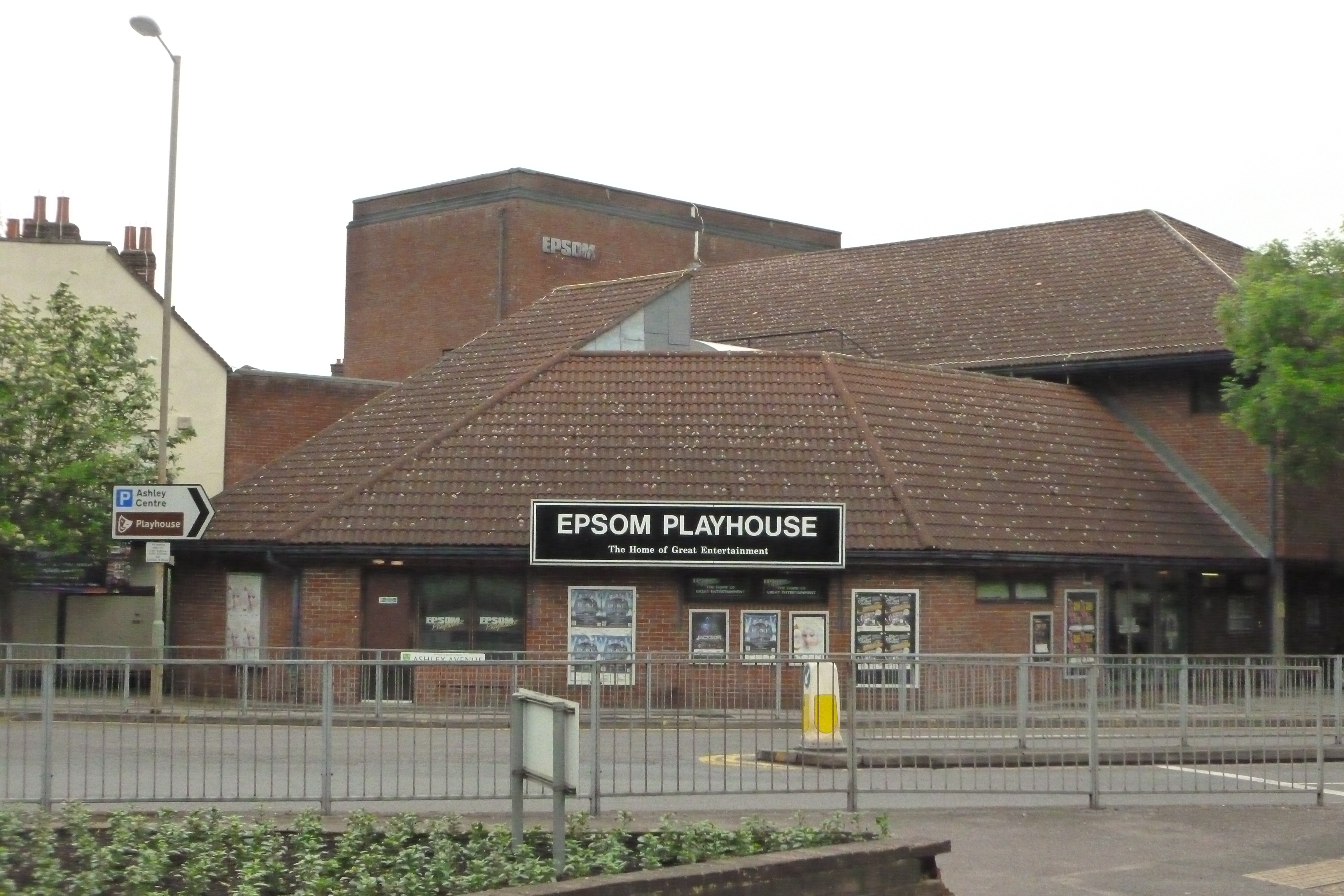
Epsom Playhouse
Epsom Playhouse is the main theatre in Epsom and Ewell, Surrey, England. == Performances == This 406-seat theatre hosts internationally travelling casts...
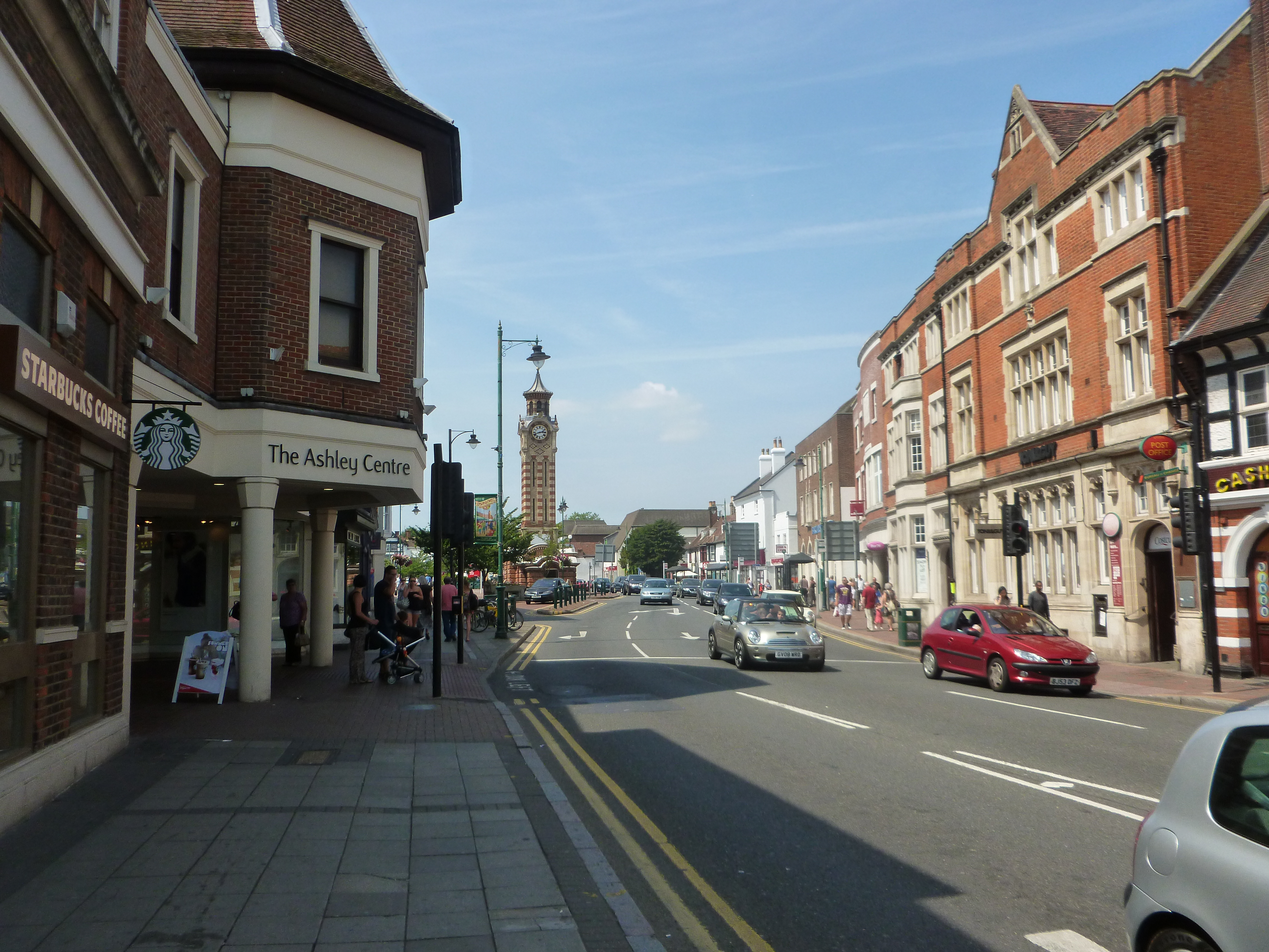
The Ashley Centre
The Ashley Centre (for a brief period rebranded The Mall Ashley) is a shopping centre, in Epsom, Surrey. The Ashley Centre was opened on 24 October 1984...

Epsom riot
The Epsom riot took place on 17 June 1919 when between 300 and 800 Canadian soldiers rioted and attacked the police station in Epsom, Surrey, England....
Nearby Amenities
Located within 500m of 51.321888,-0.26916236Have you been to Upper Woodcote Green?
Leave your review of Upper Woodcote Green below (or comments, questions and feedback).