The Grove
Wood, Forest in Surrey Epsom and Ewell
England
The Grove
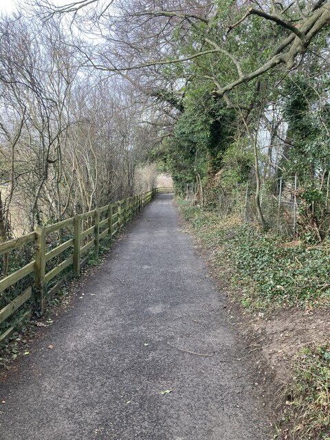
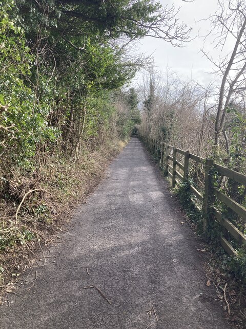
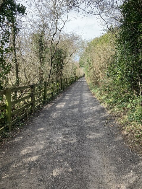
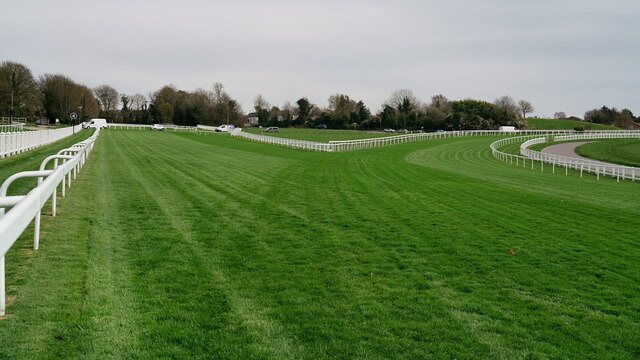
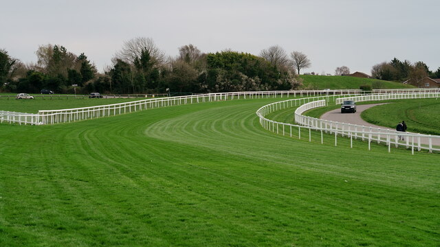
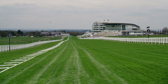
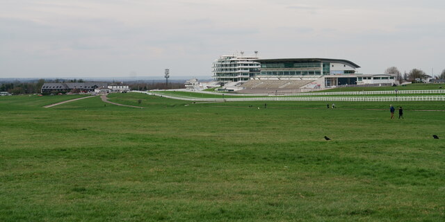
The Grove, located in Surrey, England, is a charming woodland area that encapsulates the essence of a traditional English forest. Situated in the southern part of the county, The Grove is renowned for its serene natural beauty and diverse ecosystem. Spanning over vast acres of land, the woodland is predominantly covered with dense, lush trees including oak, beech, and pine, creating a picturesque landscape.
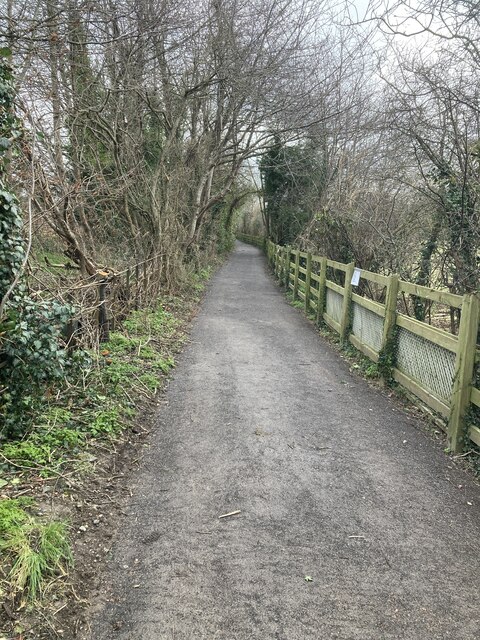
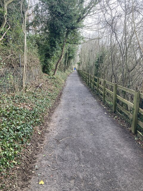
Visitors to The Grove are greeted by a network of well-maintained walking trails that wind through the forest, allowing them to immerse themselves in the tranquility of nature. The forest floor is adorned with a carpet of vibrant wildflowers and mosses, providing a scenic backdrop throughout the year. Birdwatchers will be delighted to spot various avian species, such as woodpeckers, owls, and red kites, which call The Grove their home.
Apart from its natural beauty, The Grove also boasts historical significance. It is believed that the area has been inhabited for centuries, with remnants of ancient settlements and burial sites scattered throughout the woodland. Archaeologists have discovered artifacts and tools from the Mesolithic and Neolithic eras, shedding light on the rich history of human habitation in the area.
The Grove is a popular destination for outdoor enthusiasts, nature lovers, and families looking for a peaceful retreat. The woodland offers a range of recreational activities, including picnic areas, wildlife spotting, and photography opportunities. Whether it's a leisurely stroll among the trees or a more adventurous hike, The Grove provides a serene escape from the hustle and bustle of everyday life.
If you have any feedback on the listing, please let us know in the comments section below.
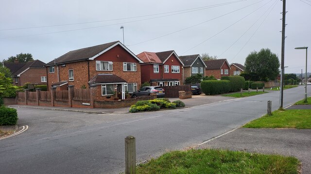
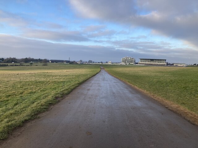
The Grove Images
Images are sourced within 2km of 51.319839/-0.26745993 or Grid Reference TQ2059. Thanks to Geograph Open Source API. All images are credited.


The Grove is located at Grid Ref: TQ2059 (Lat: 51.319839, Lng: -0.26745993)
Administrative County: Surrey
District: Epsom and Ewell
Police Authority: Surrey
What 3 Words
///years.opera.rice. Near Epsom, Surrey
Nearby Locations
Related Wikis
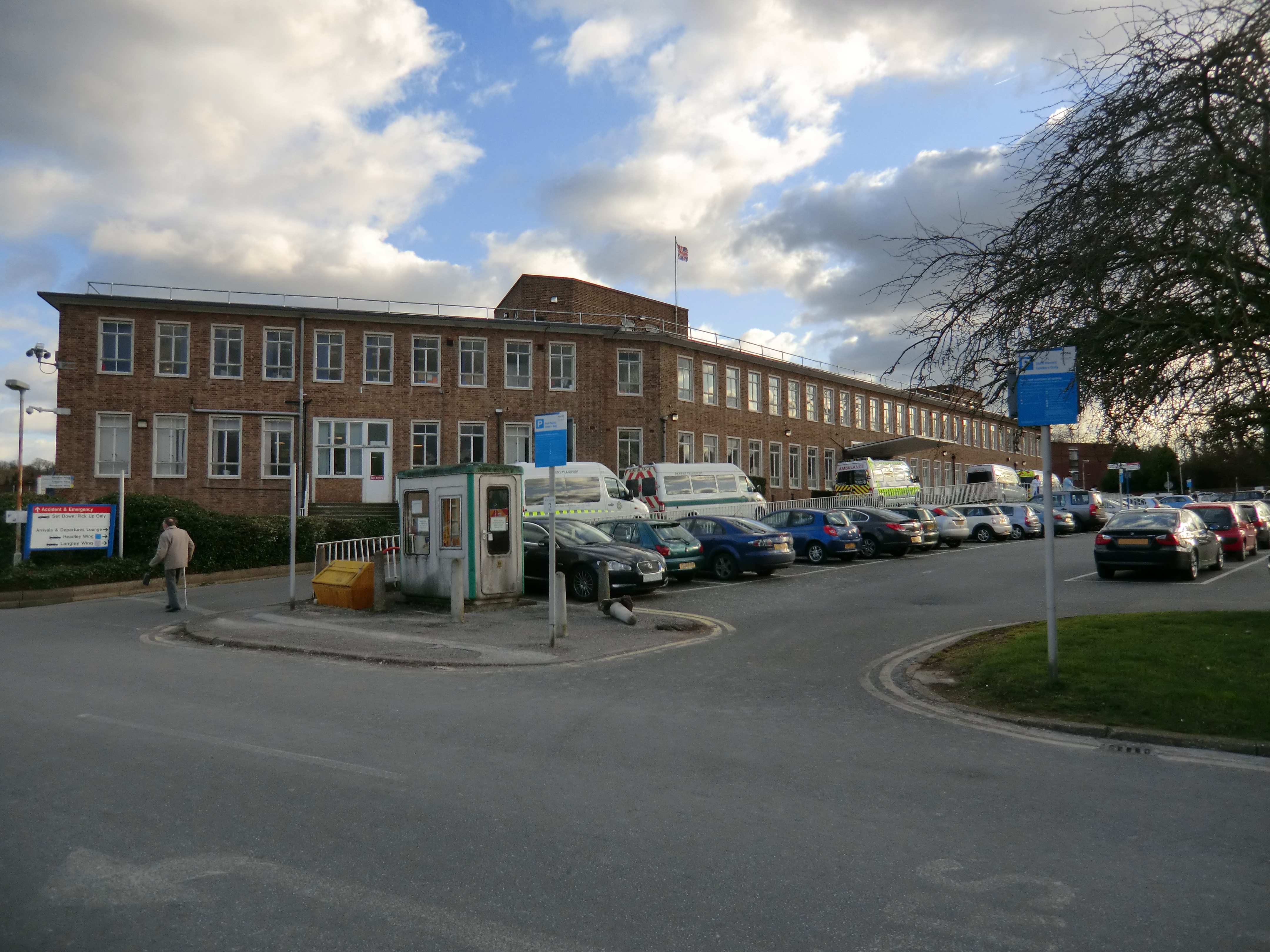
Epsom Hospital
Epsom Hospital is a teaching hospital in Epsom, Surrey, England. The hospital is situated on Dorking Road 1 kilometre (0.62 mi) south east of the centre...

Woodcote Park
Woodcote Park is a Grade II* listed stately home and estate of about 350 acres (1.4 km2; 0.5 sq mi) near Epsom, Surrey, England, currently owned by the...

Epsom (UK Parliament constituency)
Epsom was a borough constituency represented in the House of Commons of the Parliament of the United Kingdom. It elected one Member of Parliament (MP)...

Epsom and Ewell (UK Parliament constituency)
Epsom and Ewell is a constituency in Surrey represented in the House of Commons of the UK Parliament since 2001 by Chris Grayling, a Conservative. �...

Rosebery School for Girls
Rosebery School is an all-girls school located in Epsom, Surrey. It consists of a lower school for those aged between 11 and 16, and a sixth form for those...

Epsom Playhouse
Epsom Playhouse is the main theatre in Epsom and Ewell, Surrey, England. == Performances == This 406-seat theatre hosts internationally travelling casts...
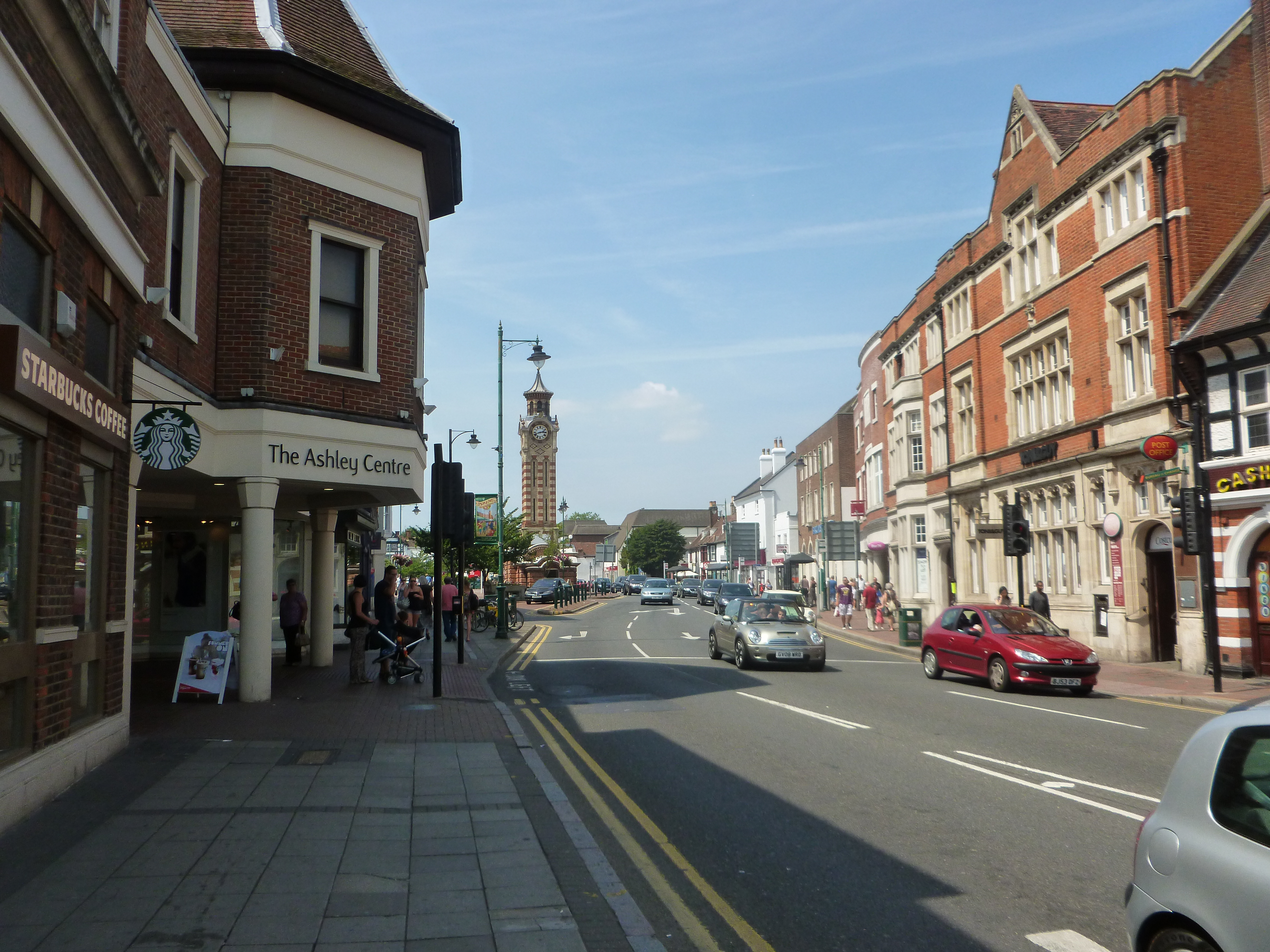
The Ashley Centre
The Ashley Centre (for a brief period rebranded The Mall Ashley) is a shopping centre, in Epsom, Surrey. The Ashley Centre was opened on 24 October 1984...

St Martin of Tours church, Epsom
St Martin of Tours church, Epsom is a Grade II* listed building, number 1028592, in Church Street, Epsom, Surrey, KT17 4PX. The flint tower dates from...
Nearby Amenities
Located within 500m of 51.319839,-0.26745993Have you been to The Grove?
Leave your review of The Grove below (or comments, questions and feedback).