Bluebell Hill Wood
Wood, Forest in Hertfordshire Welwyn Hatfield
England
Bluebell Hill Wood

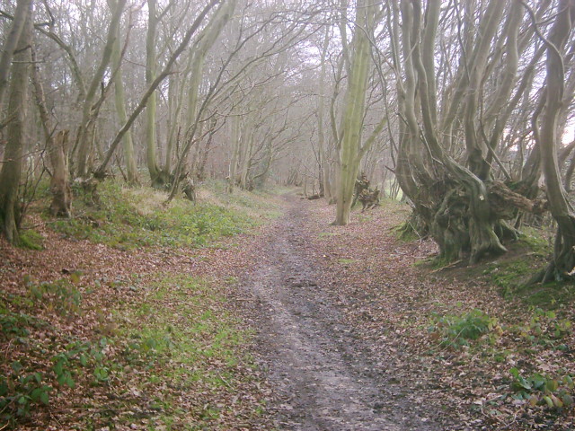
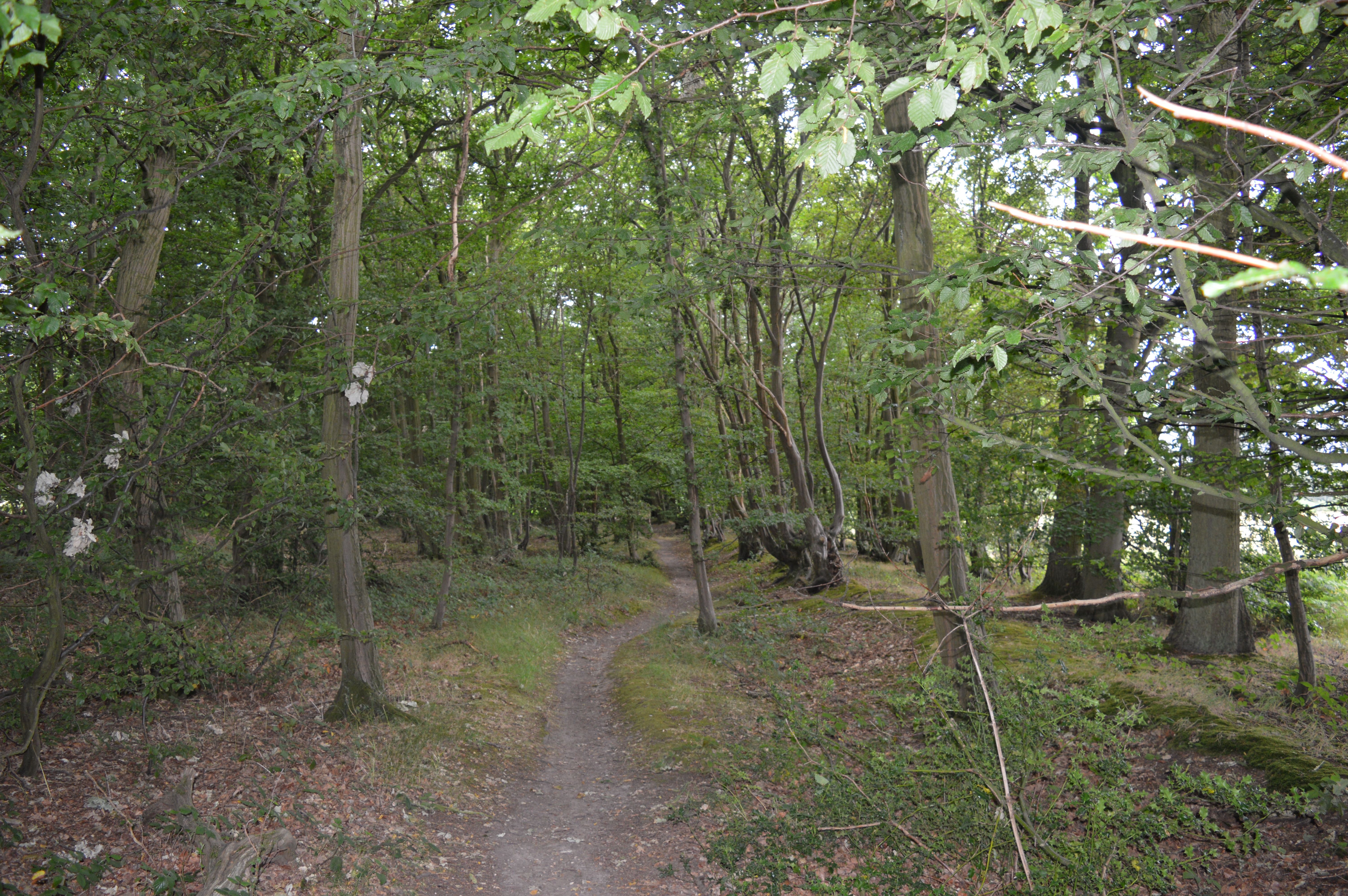
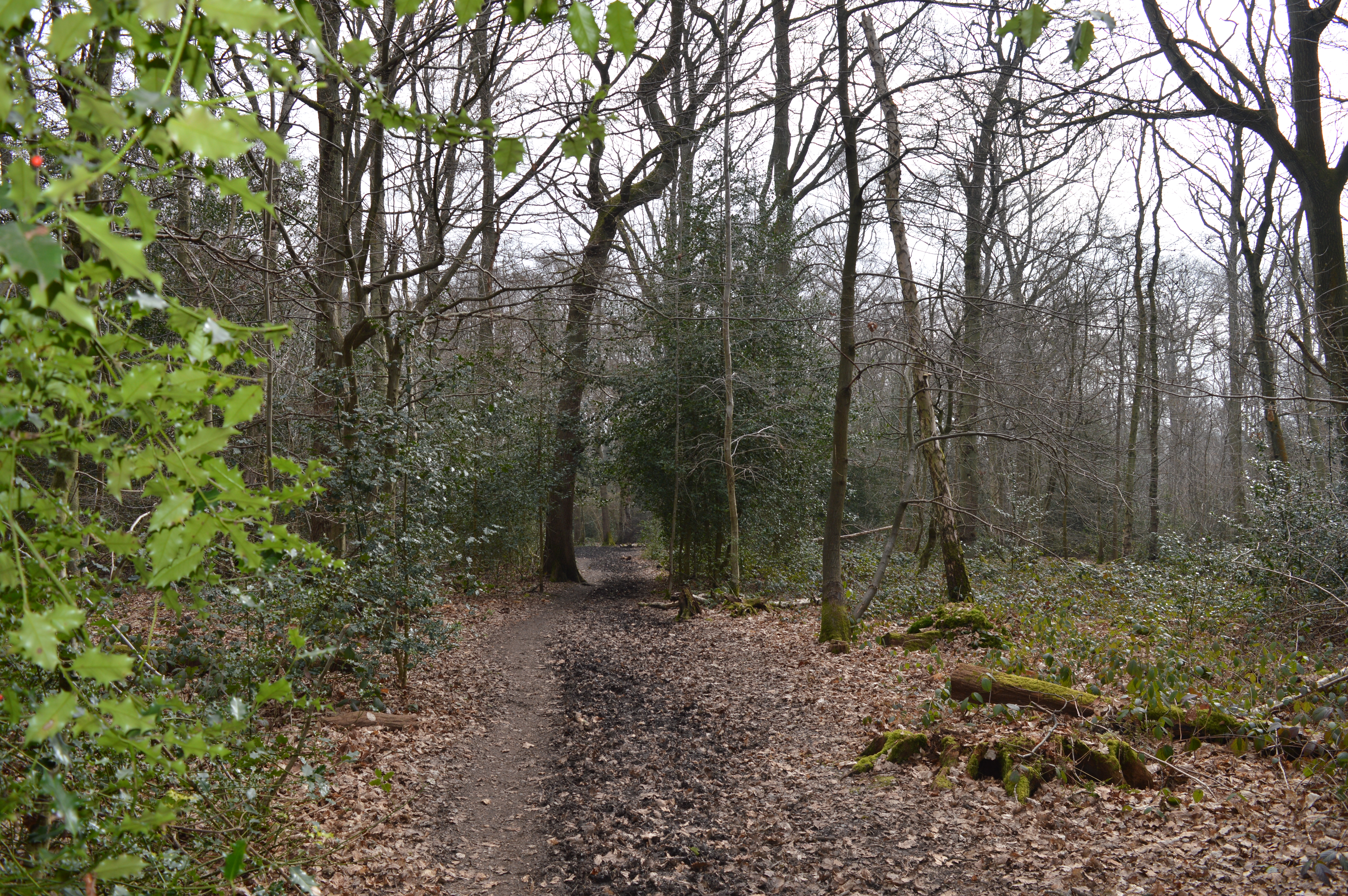
Bluebell Hill Wood is a picturesque woodland located in Hertfordshire, England. Covering an area of approximately 50 acres, it is a popular destination for nature enthusiasts and hikers alike. The wood is situated near the village of Flamstead, just a short distance from the M1 motorway.
One of the main attractions of Bluebell Hill Wood is its stunning display of bluebells during the spring season. The woodland floor is carpeted with these vibrant flowers, creating a breathtaking sight that attracts visitors from far and wide. The bluebells are not the only flora to be found here, as the wood is also home to a diverse range of native trees, including oak, beech, and ash.
In addition to its natural beauty, Bluebell Hill Wood offers a variety of recreational activities. There are several well-maintained trails that wind through the woodland, providing opportunities for leisurely walks and more challenging hikes. The wood also features picnic areas where visitors can relax and enjoy a meal amidst the tranquil surroundings. Wildlife enthusiasts will be delighted to spot various bird species, such as woodpeckers and warblers, as well as small mammals like squirrels and rabbits.
Bluebell Hill Wood is managed by the local authority, ensuring its preservation and continued enjoyment for generations to come. With its stunning bluebell displays, diverse flora and fauna, and recreational opportunities, this woodland is a true gem in the heart of Hertfordshire.
If you have any feedback on the listing, please let us know in the comments section below.
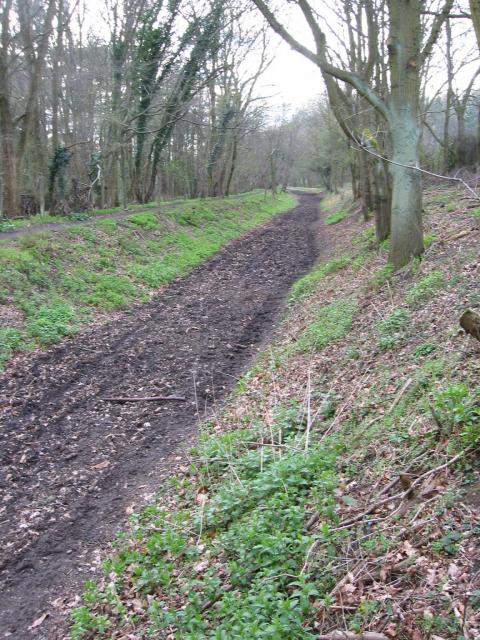
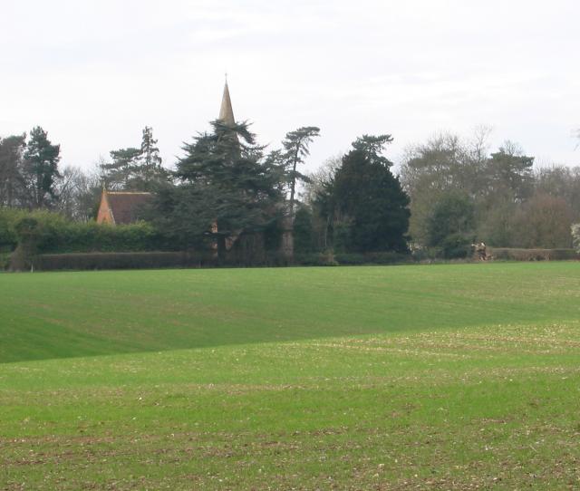
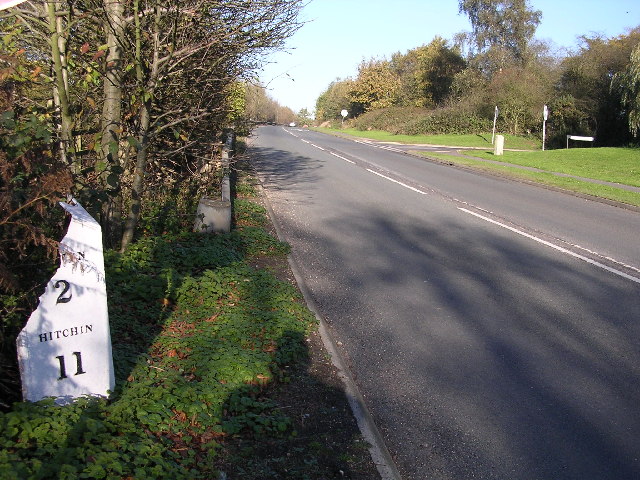
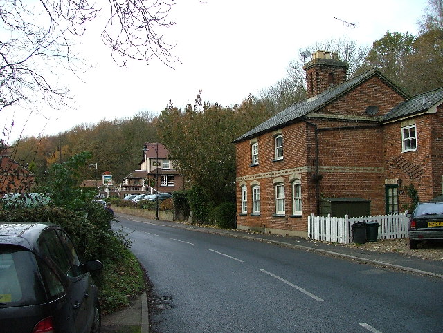
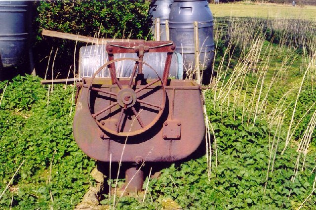
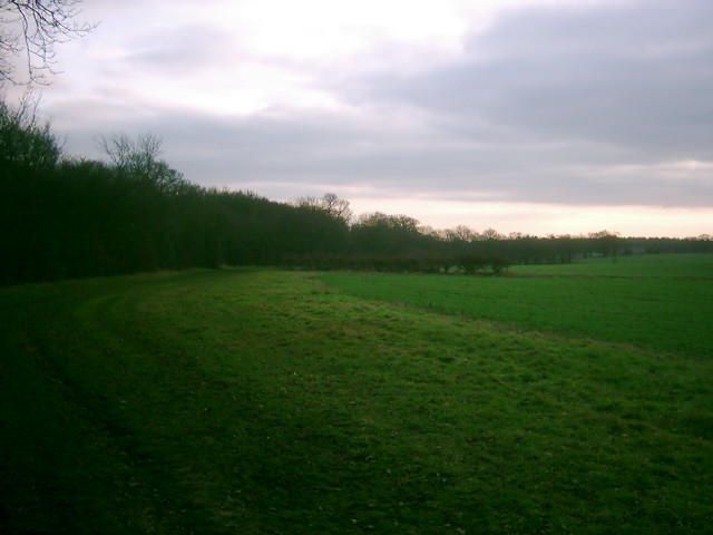
Bluebell Hill Wood Images
Images are sourced within 2km of 51.806267/-0.2479298 or Grid Reference TL2013. Thanks to Geograph Open Source API. All images are credited.


Bluebell Hill Wood is located at Grid Ref: TL2013 (Lat: 51.806267, Lng: -0.2479298)
Administrative County: Hertfordshire
District: Welwyn Hatfield
Police Authority: Hertfordshire
What 3 Words
///truth.rare.invite. Near Welwyn Garden City, Hertfordshire
Nearby Locations
Related Wikis
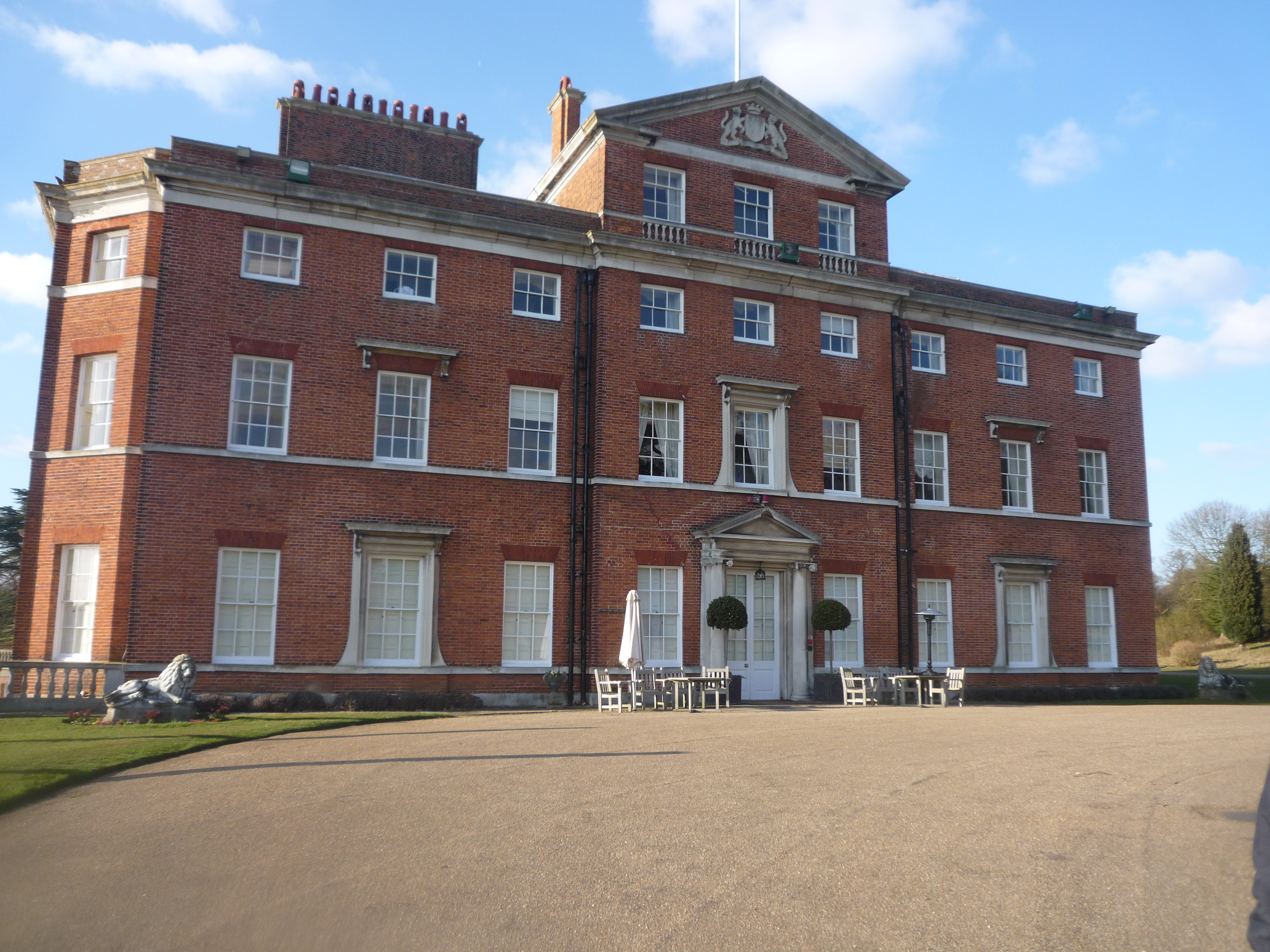
Brocket Hall
Brocket Hall is a neo-classical country house set in a large park at the western side of the urban area of Welwyn Garden City in Hertfordshire, England...

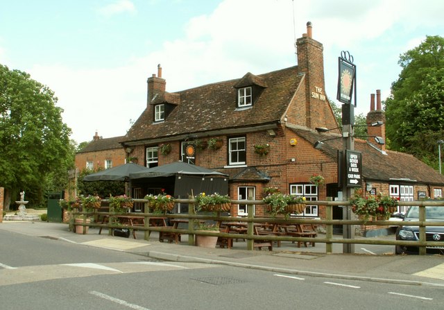
Ayot Green
Ayot Green is a hamlet in Hertfordshire, England and is near the A1(M) Motorway, close to Welwyn Garden City. It is a typical traditional English village...
Lemsford
Lemsford is a village in Hertfordshire, England. It is located close to Welwyn Garden City and Hatfield and is in the Hatfield Villages Ward of the Borough...
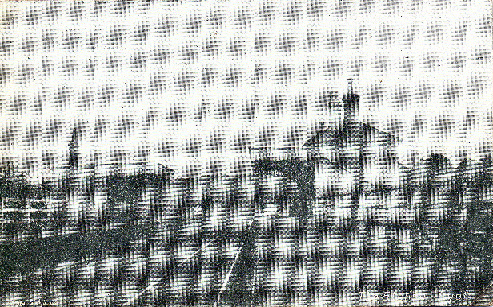
Ayot railway station
Ayot was a railway station serving Ayot St Peter near Welwyn Garden City in Hertfordshire, England. It was on the branch line to Dunstable. == History... ==
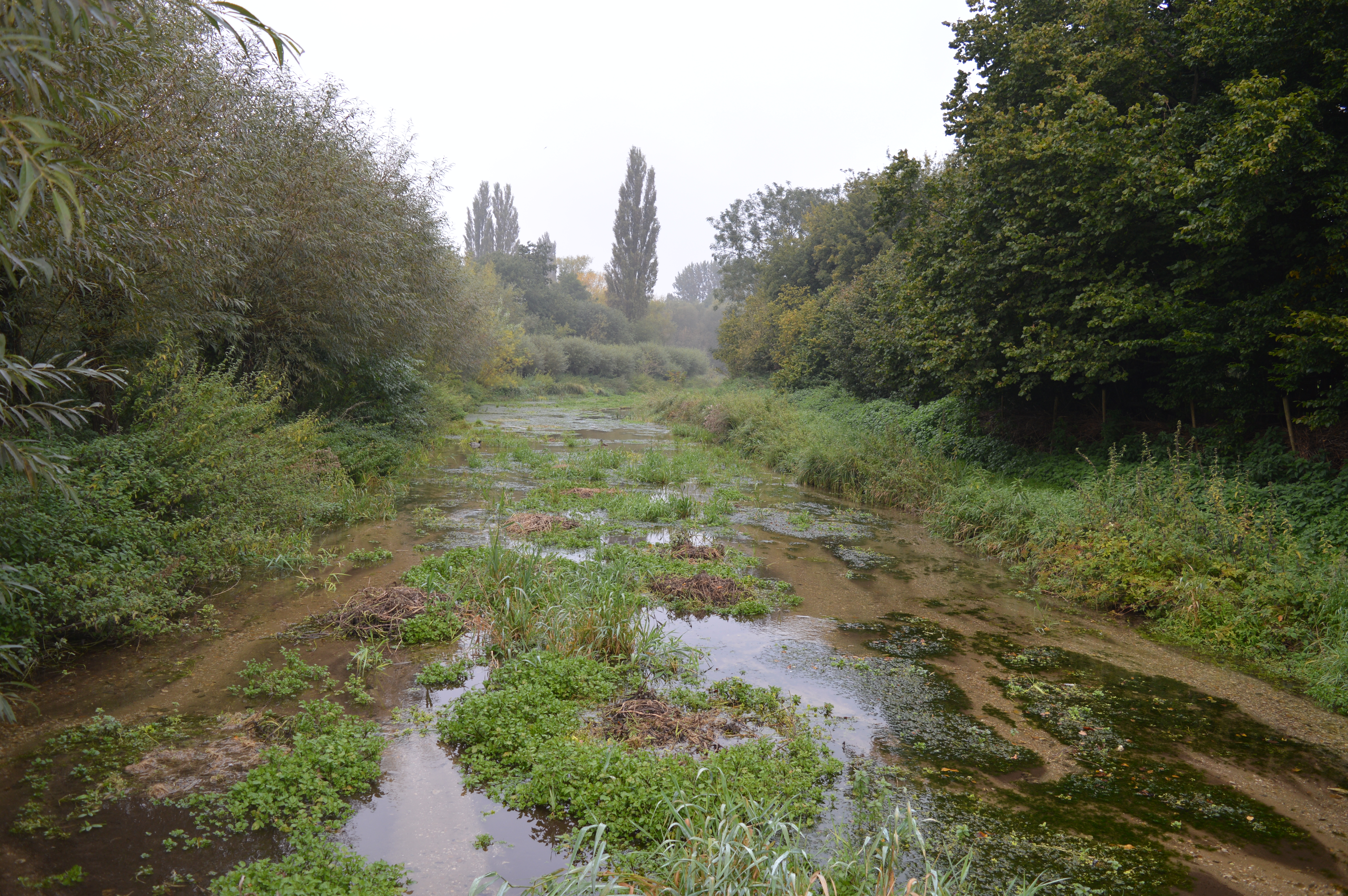
Lemsford Springs
Lemsford Springs is a 4 hectare nature reserve in Lemsford, Hertfordshire, England. It is managed by the Herts and Middlesex Wildlife Trust, which purchased...

Ayot St Peter
Ayot St Peter is a village and civil parish in the Welwyn Hatfield district of Hertfordshire, England, about two miles north-west of Welwyn Garden City...
Stocking Springs Wood
Stocking Springs Wood is a 1.1-hectare (2.7-acre) nature reserve between Ayot St Lawrence and Ayot St Peter in Welwyn Hatfield district in Hertfordshire...
Sherrardspark Wood
Sherrardspark Wood (grid reference TL230139) is a 74.9 hectares (185 acres) biological site of Special Scientific Interest in Welwyn Garden City, Hertfordshire...
Nearby Amenities
Located within 500m of 51.806267,-0.2479298Have you been to Bluebell Hill Wood?
Leave your review of Bluebell Hill Wood below (or comments, questions and feedback).