Park Mead Spring
Wood, Forest in Hertfordshire St. Albans
England
Park Mead Spring

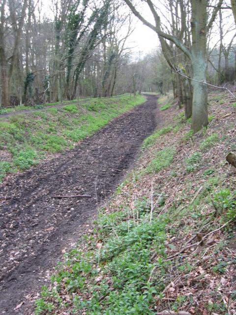
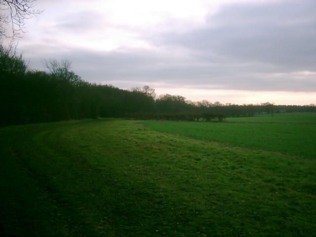
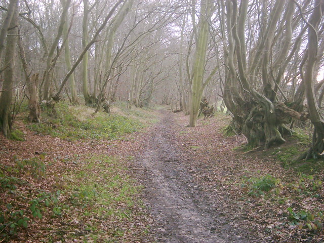
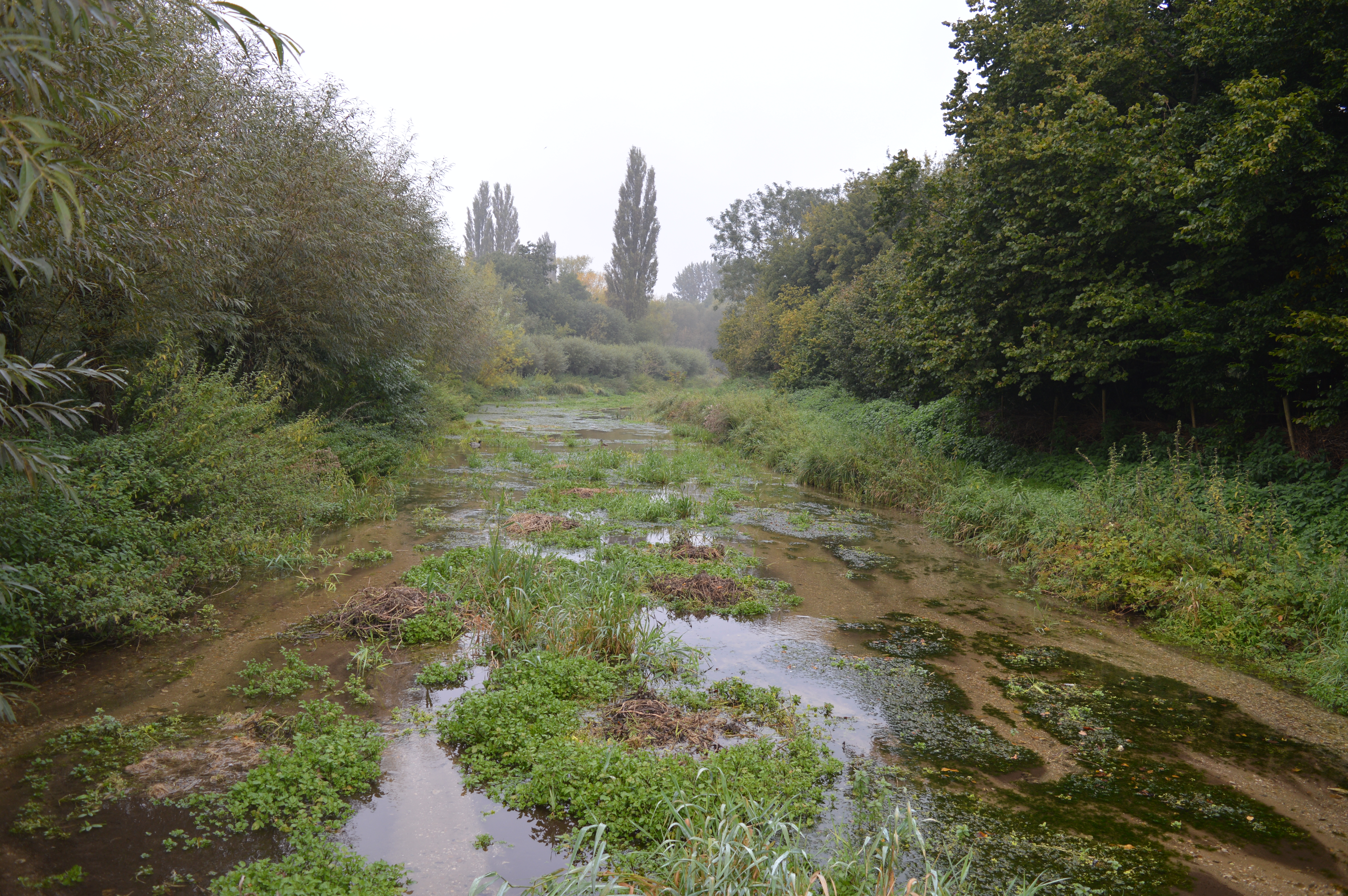
Park Mead Spring is a picturesque woodland located in Hertfordshire, England. Situated in the heart of Park Mead, this enchanting forest is known for its natural beauty and tranquil atmosphere. Covering an area of approximately 100 acres, it offers visitors a serene escape from the hustle and bustle of everyday life.
The woodland is characterized by its dense canopy of towering trees, predominantly consisting of oak, chestnut, and beech. The forest floor is adorned with a rich carpet of wildflowers, creating a vibrant tapestry of colors during the spring and summer months. Numerous walking trails wind through the woodland, allowing visitors to explore the diverse flora and fauna that call Park Mead Spring their home.
One of the main attractions of this woodland is its natural spring, which gives the forest its name. Park Mead Spring is a crystal-clear water source that originates deep within the forest and flows gently through the woodland, providing a refreshing oasis for both wildlife and visitors alike. The spring is also home to a variety of aquatic plants and small creatures, adding to the ecological diversity of the area.
Park Mead Spring is a popular destination for nature enthusiasts, hikers, and families looking for a peaceful retreat. Its idyllic setting and abundance of wildlife make it an ideal spot for birdwatching and photography. The woodland also offers picnic areas, allowing visitors to relax and enjoy the tranquil surroundings.
Overall, Park Mead Spring in Hertfordshire is a natural haven that showcases the beauty of England's woodlands. Its diverse ecosystem, scenic walking trails, and peaceful ambiance make it a must-visit destination for nature lovers.
If you have any feedback on the listing, please let us know in the comments section below.
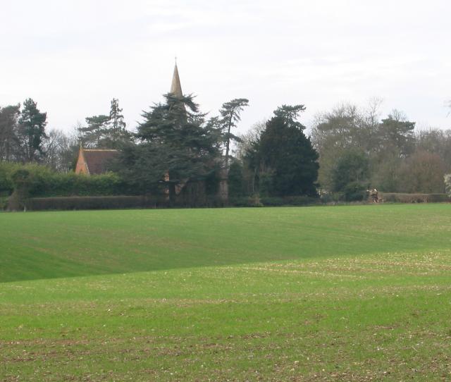
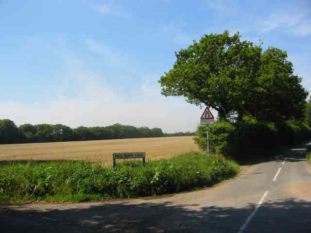
Park Mead Spring Images
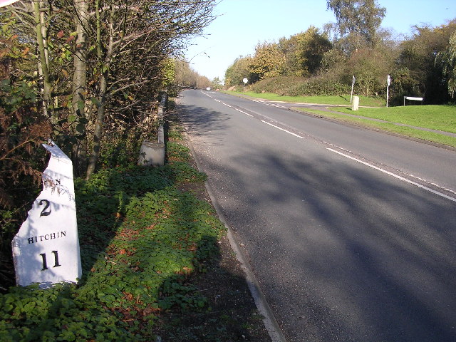
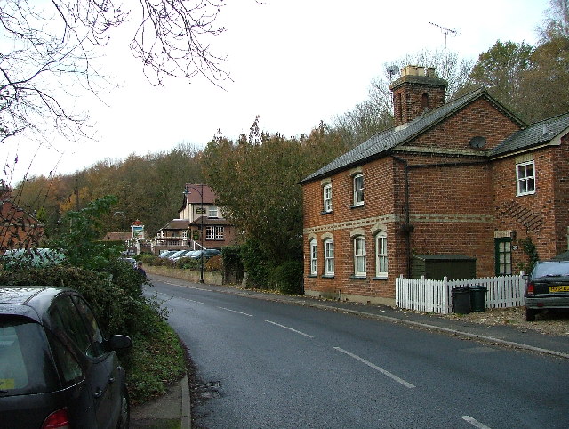
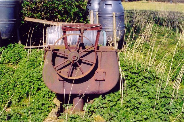
Images are sourced within 2km of 51.808832/-0.24928094 or Grid Reference TL2013. Thanks to Geograph Open Source API. All images are credited.


Park Mead Spring is located at Grid Ref: TL2013 (Lat: 51.808832, Lng: -0.24928094)
Administrative County: Hertfordshire
District: St. Albans
Police Authority: Hertfordshire
What 3 Words
///hill.wink.glass. Near Wheathampstead, Hertfordshire
Nearby Locations
Related Wikis

Brocket Hall
Brocket Hall is a neo-classical country house set in a large park at the western side of the urban area of Welwyn Garden City in Hertfordshire, England...

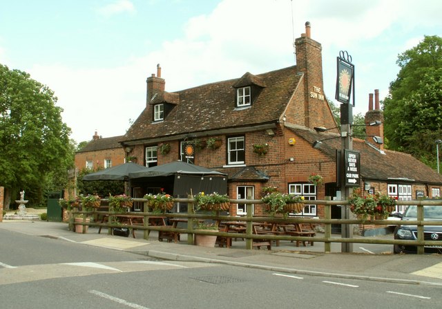
Ayot Green
Ayot Green is a hamlet in Hertfordshire, England and is near the A1(M) Motorway, close to Welwyn Garden City. It is a typical traditional English village...
Lemsford
Lemsford is a village in Hertfordshire, England. It is located close to Welwyn Garden City and Hatfield and is in the Hatfield Villages Ward of the Borough...
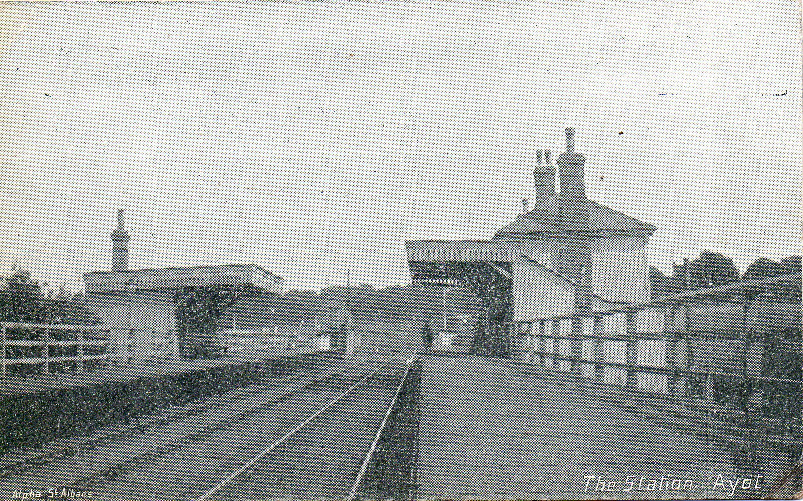
Ayot railway station
Ayot was a railway station serving Ayot St Peter near Welwyn Garden City in Hertfordshire, England. It was on the branch line to Dunstable. == History... ==

Ayot St Peter
Ayot St Peter is a village and civil parish in the Welwyn Hatfield district of Hertfordshire, England, about two miles north-west of Welwyn Garden City...
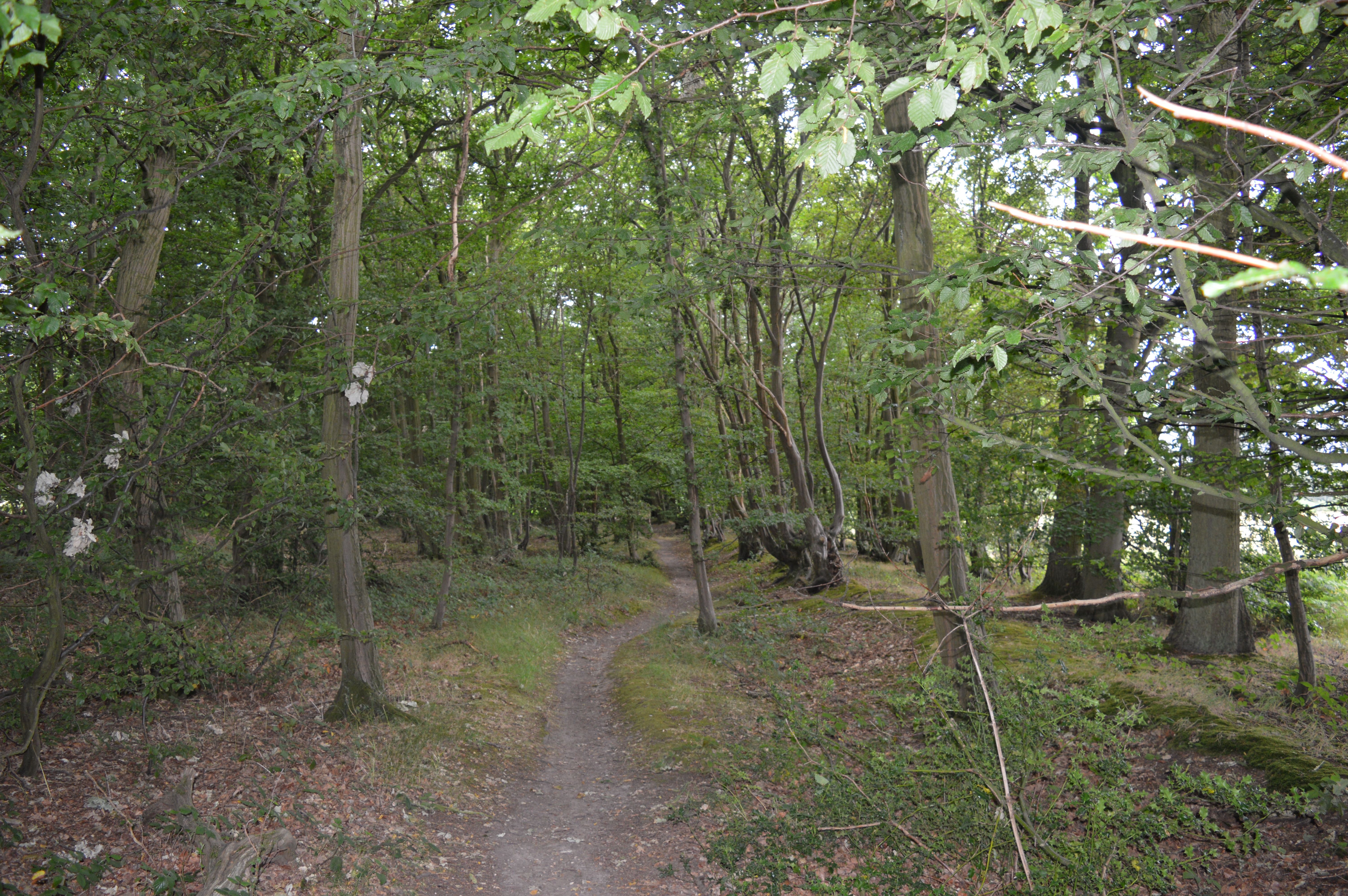
Stocking Springs Wood
Stocking Springs Wood is a 1.1-hectare (2.7-acre) nature reserve between Ayot St Lawrence and Ayot St Peter in Welwyn Hatfield district in Hertfordshire...
Lemsford Springs
Lemsford Springs is a 4 hectare nature reserve in Lemsford, Hertfordshire, England. It is managed by the Herts and Middlesex Wildlife Trust, which purchased...

Station IX
Station IX (formerly known as the Inter-Services Research Bureau) was a secret British Special Operations Executive factory making special weapons and...
Nearby Amenities
Located within 500m of 51.808832,-0.24928094Have you been to Park Mead Spring?
Leave your review of Park Mead Spring below (or comments, questions and feedback).