Cowpers Spring
Wood, Forest in Hertfordshire St. Albans
England
Cowpers Spring

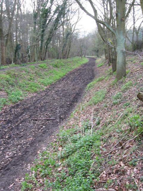
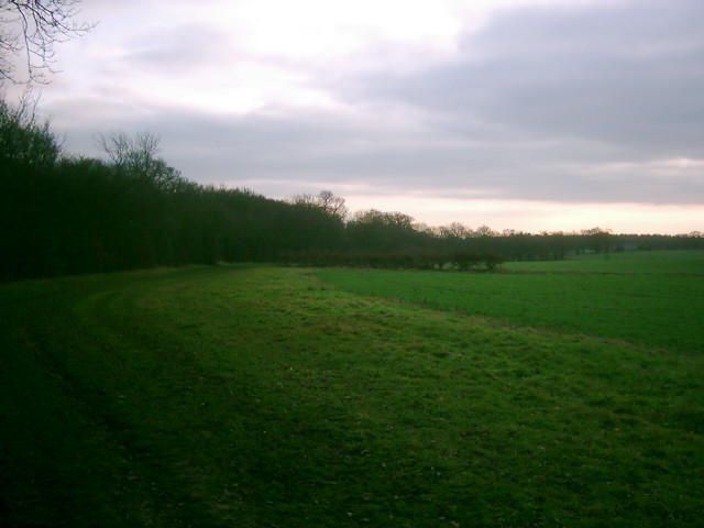
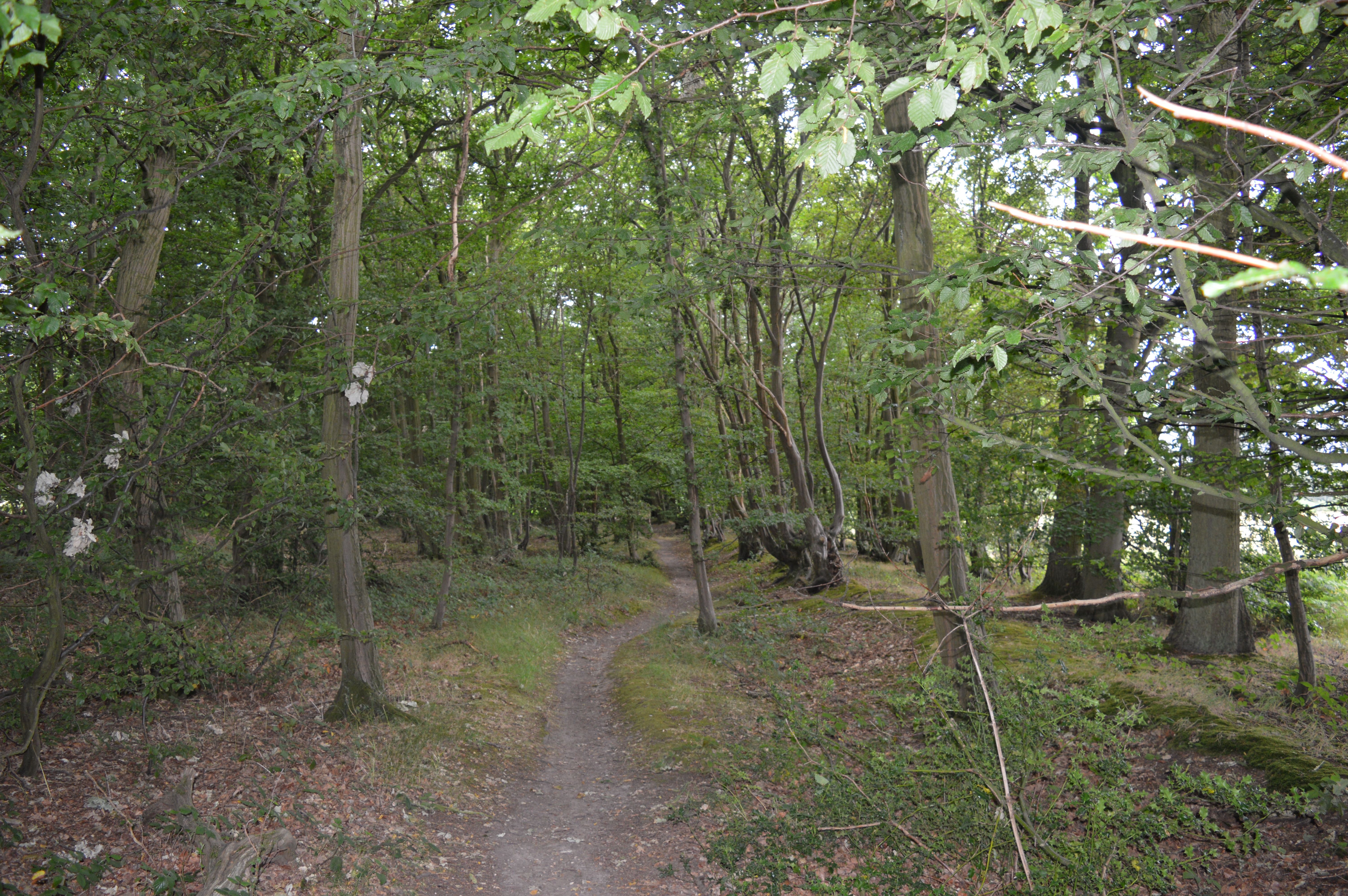
Cowpers Spring is a picturesque woodland located in Hertfordshire, England. It is situated within the larger woodland area known as Cowpers Wood, which spans over 50 acres. The spring itself is a prominent feature of the landscape, known for its crystal-clear water and serene surroundings.
Nestled amidst a dense forest, Cowpers Spring is a popular destination for nature enthusiasts and hikers alike. The woodland is home to a diverse range of flora and fauna, including ancient oak trees, bluebells, and various bird species. The tranquil atmosphere and scenic beauty make it an ideal spot for relaxation and exploration.
The spring itself emerges from the ground, creating a small babbling brook that meanders through the woodland. The water is sourced from underground streams and maintains a constant temperature throughout the year. This natural spring has been a source of fascination for visitors, and its purity has made it a reliable watering hole for wildlife in the area.
The woodland is also home to several walking trails, allowing visitors to immerse themselves in the natural beauty of Cowpers Wood. These trails vary in difficulty, catering to both casual strollers and experienced hikers. Along the way, visitors can encounter a variety of wildlife, such as deer, rabbits, and squirrels.
Overall, Cowpers Spring in Hertfordshire offers a peaceful and enchanting escape into nature. Its lush woodland, crystal-clear spring, and diverse wildlife make it a haven for those seeking solace and serenity in the heart of the English countryside.
If you have any feedback on the listing, please let us know in the comments section below.
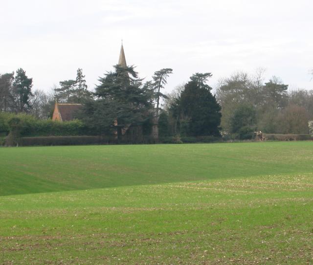
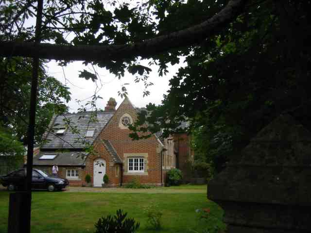
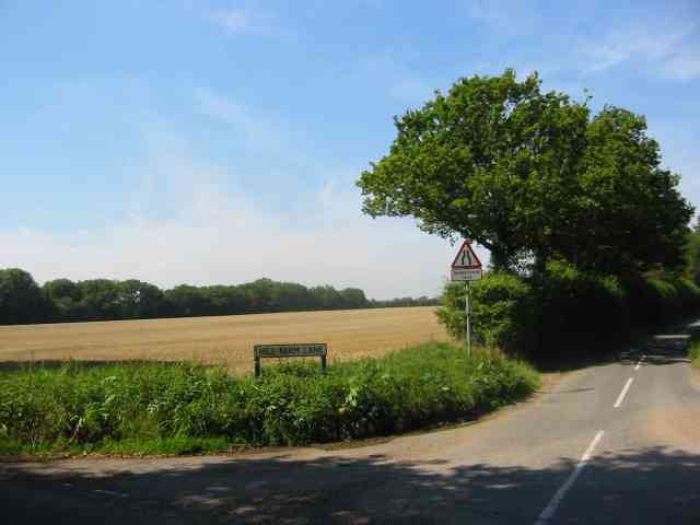
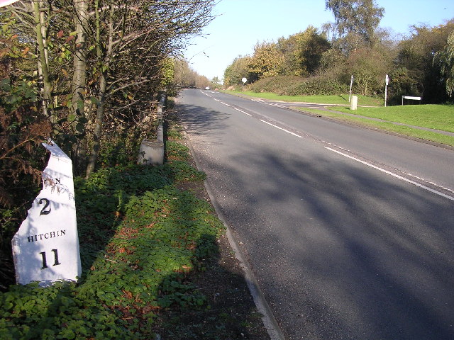
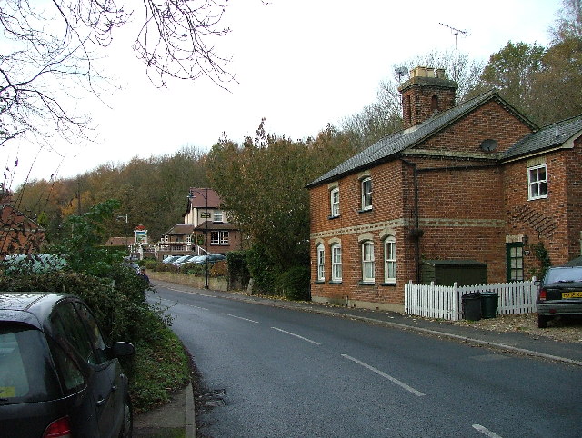
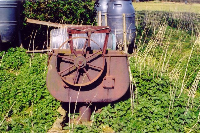
Cowpers Spring Images
Images are sourced within 2km of 51.810245/-0.24696318 or Grid Reference TL2013. Thanks to Geograph Open Source API. All images are credited.


Cowpers Spring is located at Grid Ref: TL2013 (Lat: 51.810245, Lng: -0.24696318)
Administrative County: Hertfordshire
District: St. Albans
Police Authority: Hertfordshire
What 3 Words
///mugs.visa.corn. Near Welwyn Garden City, Hertfordshire
Nearby Locations
Related Wikis

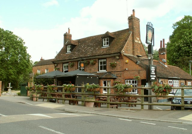
Ayot Green
Ayot Green is a hamlet in Hertfordshire, England and is near the A1(M) Motorway, close to Welwyn Garden City. It is a typical traditional English village...

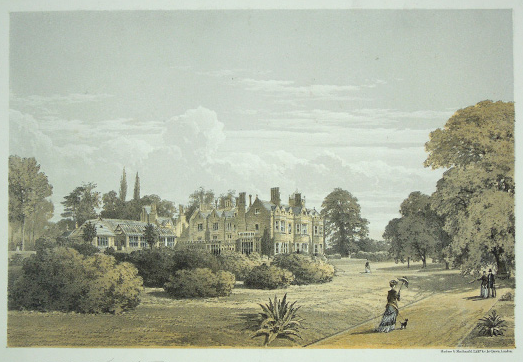
Brocket Hall
Brocket Hall is a neo-classical country house set in a large park at the western side of the urban area of Welwyn Garden City in Hertfordshire, England...
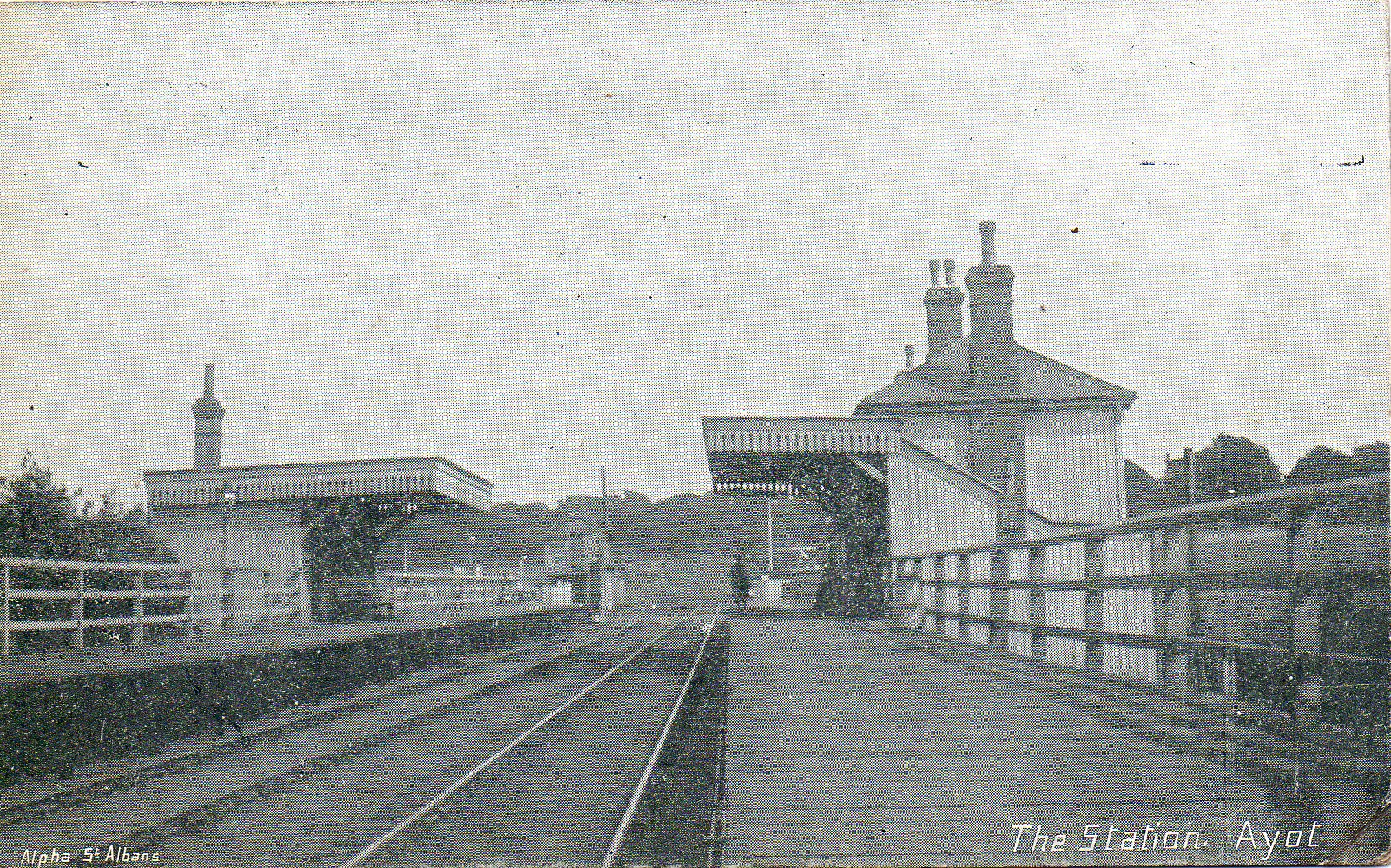
Ayot railway station
Ayot was a railway station serving Ayot St Peter near Welwyn Garden City in Hertfordshire, England. It was on the branch line to Dunstable. == History... ==
Lemsford
Lemsford is a village in Hertfordshire, England. It is located close to Welwyn Garden City and Hatfield and is in the Hatfield Villages Ward of the Borough...

Ayot St Peter
Ayot St Peter is a village and civil parish in the Welwyn Hatfield district of Hertfordshire, England, about two miles north-west of Welwyn Garden City...
Stocking Springs Wood
Stocking Springs Wood is a 1.1-hectare (2.7-acre) nature reserve between Ayot St Lawrence and Ayot St Peter in Welwyn Hatfield district in Hertfordshire...

Station IX
Station IX (formerly known as the Inter-Services Research Bureau) was a secret British Special Operations Executive factory making special weapons and...
The Frythe
The Frythe is a country house set in its own grounds in rural Hertfordshire, just south of the village of Welwyn, about 30 miles north of London. ��2...
Nearby Amenities
Located within 500m of 51.810245,-0.24696318Have you been to Cowpers Spring?
Leave your review of Cowpers Spring below (or comments, questions and feedback).