Waterend
Settlement in Hertfordshire St. Albans
England
Waterend

Waterend is a charming village located in the county of Hertfordshire, England. Situated just 2 miles north of the town of Hemel Hempstead, Waterend offers a tranquil and picturesque setting for residents and visitors alike.
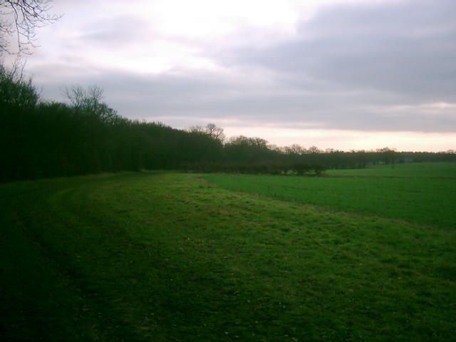
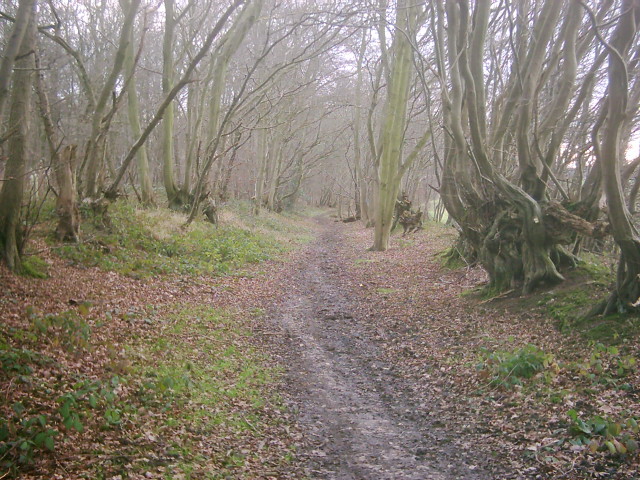
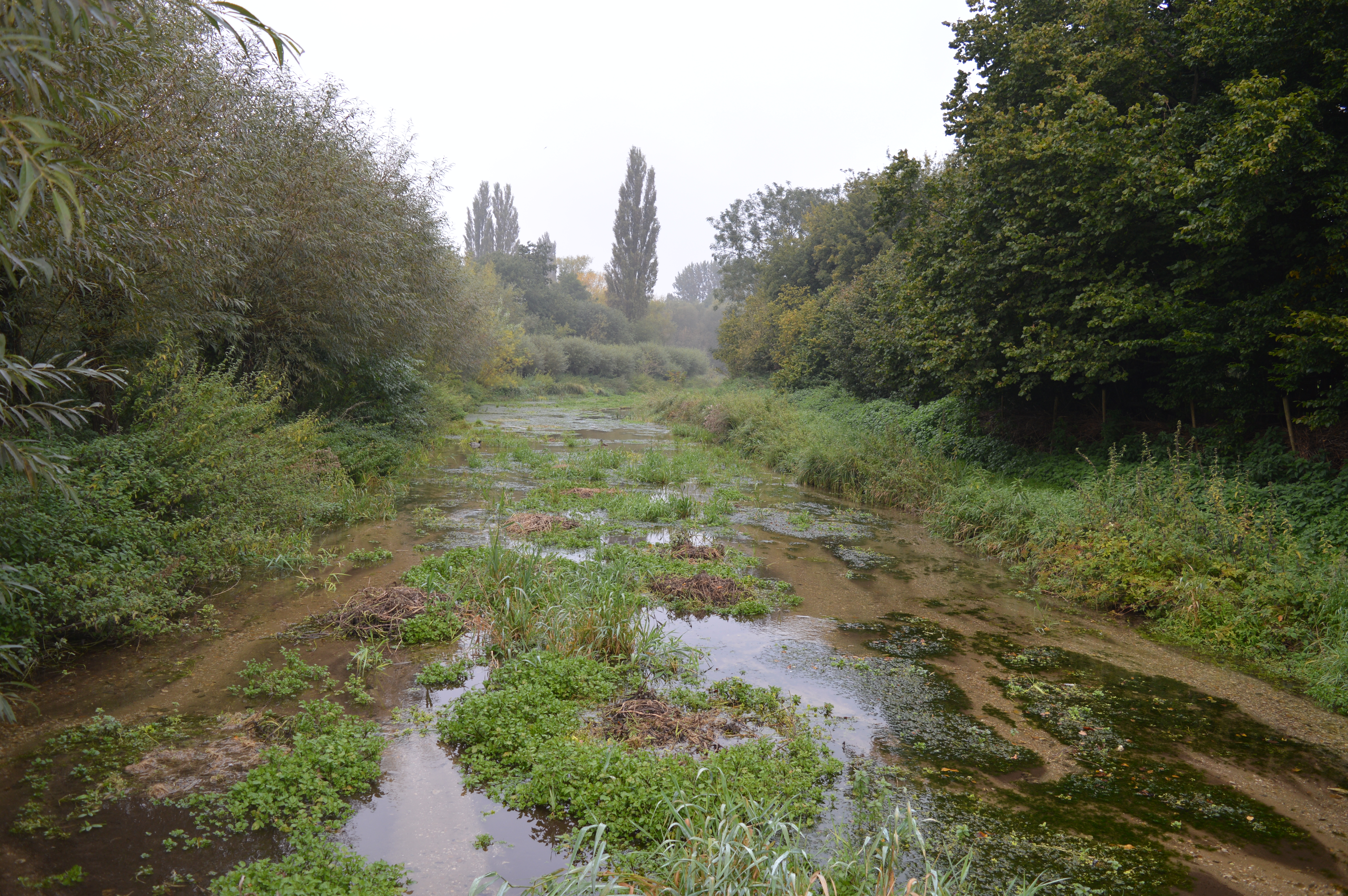
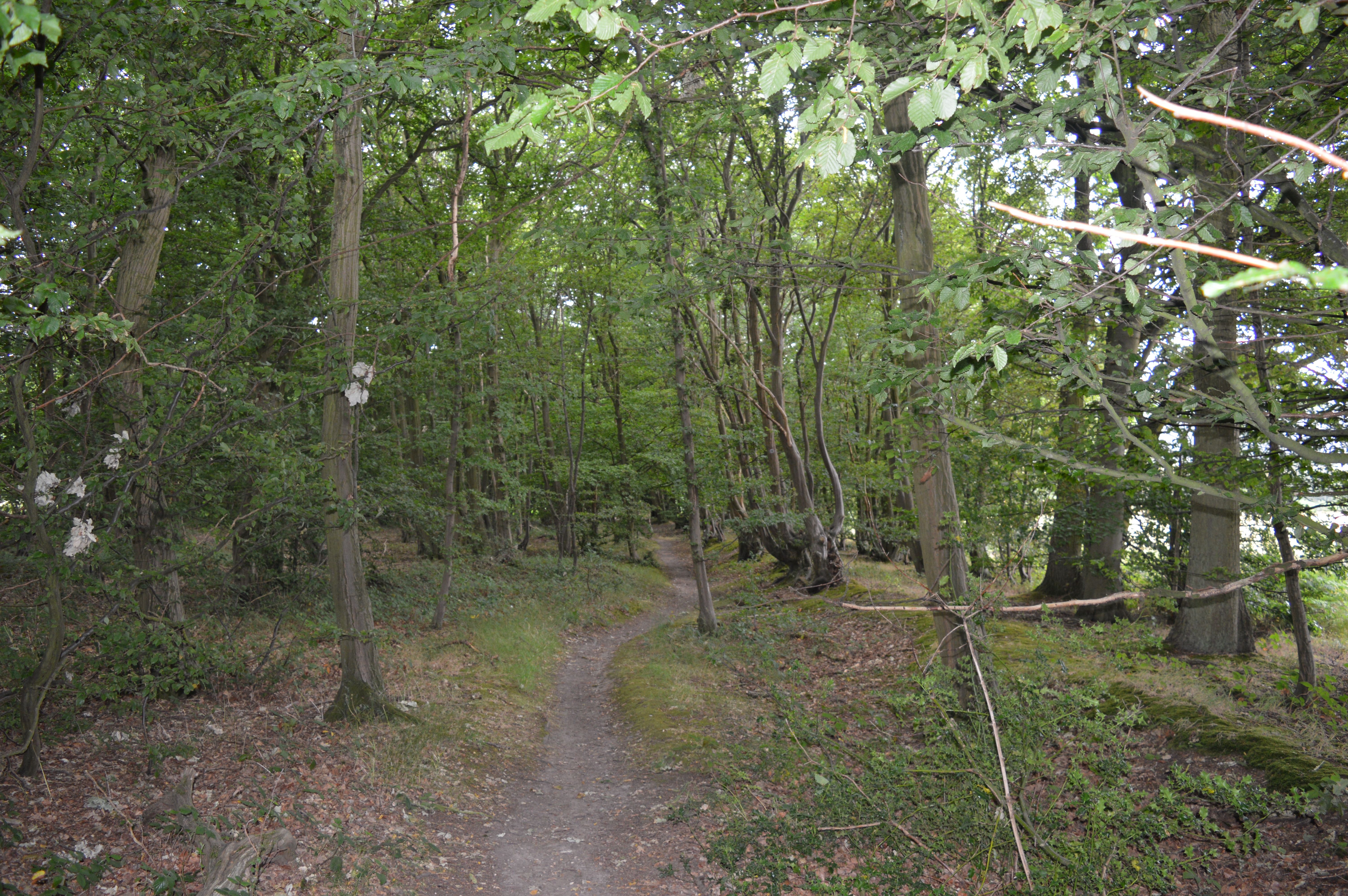
The village is known for its idyllic countryside, with rolling hills, lush green fields, and beautiful woodlands surrounding the area. The River Gade flows through Waterend, adding to its scenic appeal. The village is also close to several nature reserves, providing ample opportunities for outdoor activities such as hiking, birdwatching, and picnicking.
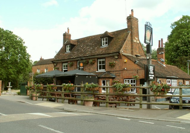
Despite its rural atmosphere, Waterend benefits from its proximity to Hemel Hempstead, which offers a range of amenities including shops, restaurants, and leisure facilities. The village itself is home to a small but tight-knit community, with a local pub serving as a social hub for residents.
Waterend is well-connected to other parts of Hertfordshire and beyond. The nearby A41 road provides easy access to major cities like London and Watford, while the M1 motorway is just a short drive away. The village also has good public transportation links, with regular bus services connecting it to surrounding towns and villages.
Overall, Waterend offers a peaceful and scenic retreat from the hustle and bustle of urban life, making it an ideal place for those seeking a rural lifestyle with easy access to amenities and transport links.
If you have any feedback on the listing, please let us know in the comments section below.
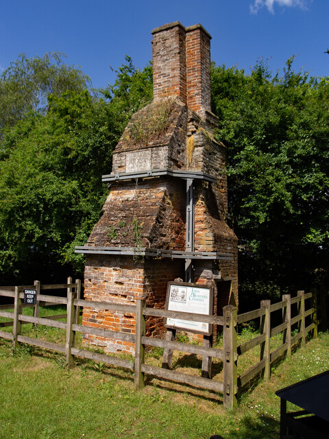
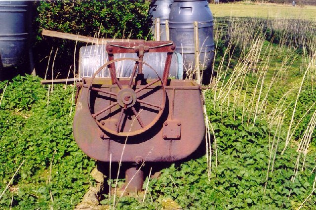
Waterend Images
Images are sourced within 2km of 51.802775/-0.2610462 or Grid Reference TL2013. Thanks to Geograph Open Source API. All images are credited.


Waterend is located at Grid Ref: TL2013 (Lat: 51.802775, Lng: -0.2610462)
Administrative County: Hertfordshire
District: St. Albans
Police Authority: Hertfordshire
What 3 Words
///along.bids.purely. Near Wheathampstead, Hertfordshire
Nearby Locations
Related Wikis
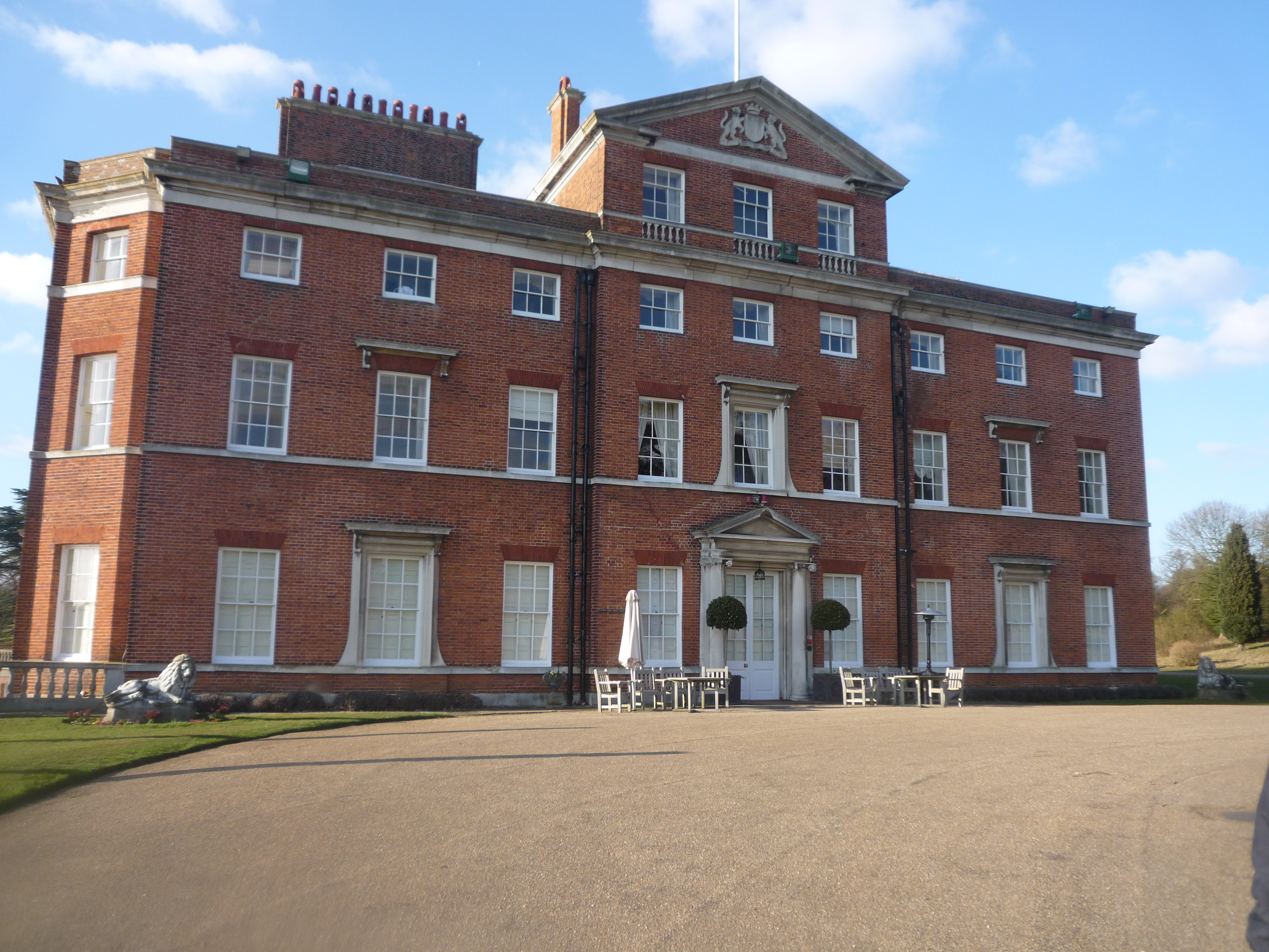
Brocket Hall
Brocket Hall is a neo-classical country house set in a large park at the western side of the urban area of Welwyn Garden City in Hertfordshire, England...

Devil's Dyke, Hertfordshire
Devil's Dyke is the remains of a prehistoric defensive ditch which lies at the east side of the village of Wheathampstead, Hertfordshire, England. It is...
Lemsford
Lemsford is a village in Hertfordshire, England. It is located close to Welwyn Garden City and Hatfield and is in the Hatfield Villages Ward of the Borough...

Ayot Green
Ayot Green is a hamlet in Hertfordshire, England and is near the A1(M) Motorway, close to Welwyn Garden City. It is a typical traditional English village...
Lemsford Springs
Lemsford Springs is a 4 hectare nature reserve in Lemsford, Hertfordshire, England. It is managed by the Herts and Middlesex Wildlife Trust, which purchased...

Wheathampstead
Wheathampstead is a village and civil parish in Hertfordshire, England, north of St Albans. The population of the ward at the 2001 census was 6,058. Included...
Stocking Springs Wood
Stocking Springs Wood is a 1.1-hectare (2.7-acre) nature reserve between Ayot St Lawrence and Ayot St Peter in Welwyn Hatfield district in Hertfordshire...

St Helen's Church, Wheathampstead
St Helen's Church is the oldest church in Wheathampstead, Hertfordshire, England, although the date of its origins is unknown. The wooden Anglo-Saxon structure...
Nearby Amenities
Located within 500m of 51.802775,-0.2610462Have you been to Waterend?
Leave your review of Waterend below (or comments, questions and feedback).