High Wood

Wood, Forest in Sussex Horsham

England

High Wood

Level Crossing (Horsham-Crawley line), Wimland Road, Faygate, West Sussex An automatic (un-manned) rural level crossing on this railway line, which connects Horsham to the London Victoria terminus, via Three Bridges.
Level Crossing (Horsham-Crawley line), Wimland Road, Faygate, West Sussex Credit: Pete Chapman

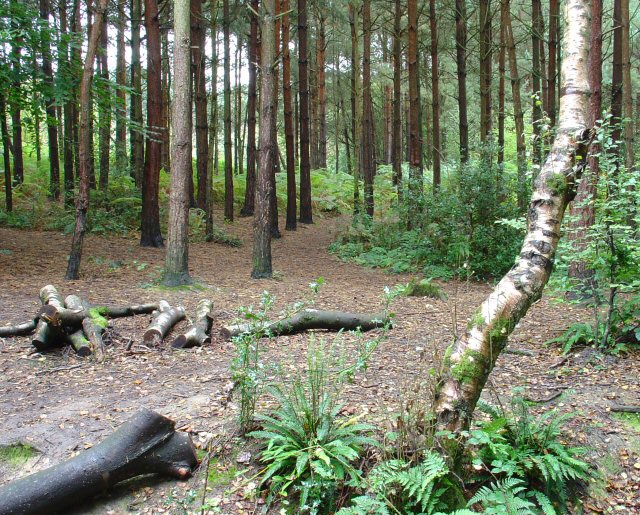
High Wood, Sussex is a picturesque woodland located in the southern part of England. It is situated in the county of Sussex, specifically in the High Weald Area of Outstanding Natural Beauty. The wood covers an area of approximately 100 acres and is renowned for its diverse wildlife, ancient trees, and tranquil atmosphere.

High Wood is predominantly composed of deciduous trees, including oak, beech, ash, and birch. These towering trees create a dense canopy, providing ample shade and shelter for the numerous species of flora and fauna that call the wood their home. The woodland floor is covered in a rich carpet of bluebells, wild garlic, and ferns, adding to the natural beauty of the area.

The wood has a network of well-maintained footpaths and trails, allowing visitors to explore its beauty and experience the serene ambiance firsthand. These paths wind through the trees, leading to hidden clearings and viewpoints that offer breathtaking vistas of the surrounding countryside.

High Wood is also steeped in history. It is believed to have ancient origins, with some parts dating back hundreds of years. The wood has witnessed the passage of time and has been a witness to various historical events. It serves as a reminder of the region's rich heritage and is a valuable resource for researchers and historians.

Overall, High Wood, Sussex is a haven for nature enthusiasts, hikers, and history buffs alike. Its natural beauty, diverse wildlife, and historical significance make it a must-visit destination for anyone seeking solace in the wonders of the natural world.

If you have any feedback on the listing, please let us know in the comments section below.
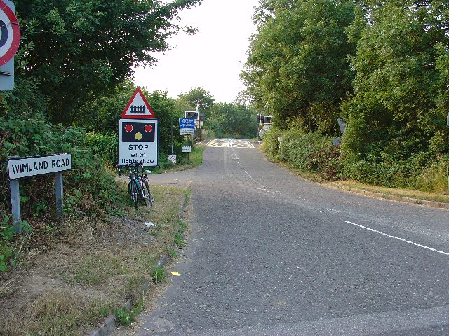
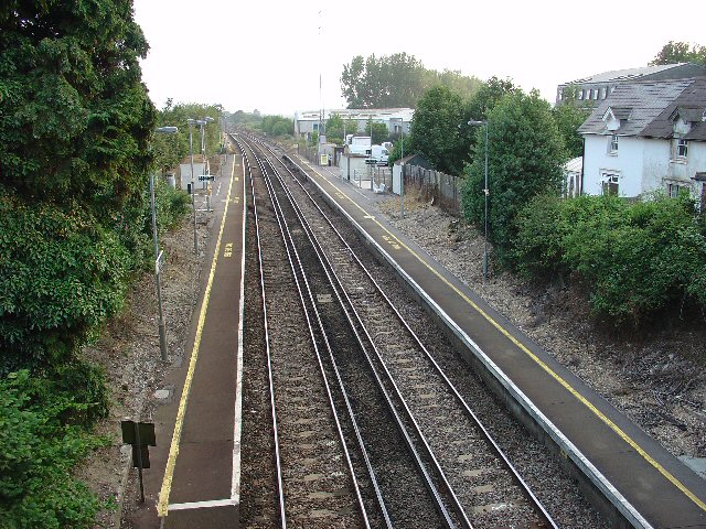
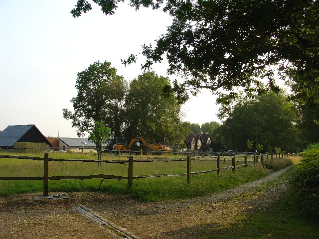
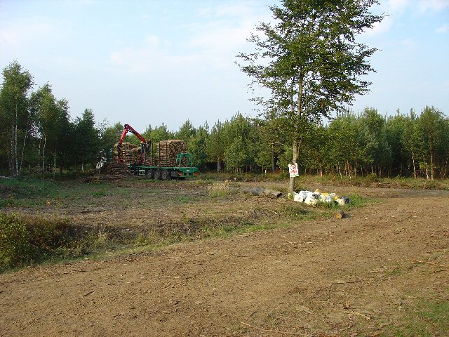
High Wood Images

Images are sourced within 2km of 51.081407/-0.27556816 or Grid Reference TQ2032. Thanks to Geograph Open Source API. All images are credited.

Level Crossing (Horsham-Crawley line), Wimland Road, Faygate, West Sussex An automatic (un-manned) rural level crossing on this railway line, which connects Horsham to the London Victoria terminus, via Three Bridges.
Level Crossing (Horsham-Crawley line), Wimland Road, Faygate, West Sussex
An automatic (un-manned) rural level crossing on this railway line, which connects Horsham to the London Victoria terminus, via Three Bridges.
The Cherry Tree Public House, Near Faygate, West Sussex. A wayside inn on the N side of the A264 dual carriageway
The Cherry Tree Public House, Near Faygate, West Sussex.
A wayside inn on the N side of the A264 dual carriageway
Faygate Station, Faygate, West Sussex Not pretty, but functional. The small village of Faygate is surprisingly industrial (easy access to the railway and main A264 road probably the reason) for its location and the station fits in with the theme. On the Line between Horsham and Crawley (London Victoria - Littlehampton/Bognor Regis)
Faygate Station, Faygate, West Sussex
Not pretty, but functional. The small village of Faygate is surprisingly industrial (easy access to the railway and main A264 road probably the reason) for its location and the station fits in with the theme. On the Line between Horsham and Crawley (London Victoria - Littlehampton/Bognor Regis)
Water Tower, Beacon Hill, Colgate, West Sussex This concrete water tower is built near to the highest point on Beacon Hill (146m above sea level). Colgate is situated on top of a long ridge of wealdland that stretches E-W between Pease Pottage and the outskirts of Horsham. Water pressure in the area would be quite low without the use of a water tower.
Water Tower, Beacon Hill, Colgate, West Sussex
This concrete water tower is built near to the highest point on Beacon Hill (146m above sea level). Colgate is situated on top of a long ridge of wealdland that stretches E-W between Pease Pottage and the outskirts of Horsham. Water pressure in the area would be quite low without the use of a water tower.
Forest Grange, in the heart of St Leonards Forest, Near Horsham, West Sussex Earlier maps (e.g. 1993) show this as the site of Forest Grange School. Later maps have dropped school from the name. It didn't looked like it was being used as a school at the time the picture was taken.
Forest Grange, in the heart of St Leonards Forest, Near Horsham, West Sussex
Earlier maps (e.g. 1993) show this as the site of Forest Grange School. Later maps have dropped school from the name. It didn't looked like it was being used as a school at the time the picture was taken.
Forestry Operations, St Leonards Forest, Near Horsham, West Sussex The forest is run by the Forestry Commission for commercial timber extraction. Here we see a lorry on the main access track (also a public bridleway) being loaded up with logs.
Forestry Operations, St Leonards Forest, Near Horsham, West Sussex
The forest is run by the Forestry Commission for commercial timber extraction. Here we see a lorry on the main access track (also a public bridleway) being loaded up with logs.
Gate house to the Holmbush estate, off A264, between Crawley and Horsham The gatehouse to the original main drive up to the house on the Holmwood estate.
Gate house to the Holmbush estate, off A264, between Crawley and Horsham
The gatehouse to the original main drive up to the house on the Holmwood estate.
Bridle Road To Bucks Head Through St Leonards Forest, West Sussex The start of the main route through the forest from near The Dragon pub. This is a public bridleway.
Bridle Road To Bucks Head Through St Leonards Forest, West Sussex
The start of the main route through the forest from near The Dragon pub. This is a public bridleway.
Ancient Boundary? Earthwall Adjacent to Bridleway Between Beacon Hill and the St Leonards Forest Bridleway Earthwalls are often found in forested areas an can signify the presence of a very old boundary line. They often feature distinctive trees (e.g. pollards, or yews). Here we see an earthwall in a beech wood. The public right of way (bridleway) runs close to and parallel to the earthwall for some way.
Ancient Boundary? Earthwall Adjacent to Bridleway Between Beacon Hill and the St Leonards Forest Bridleway
Earthwalls are often found in forested areas an can signify the presence of a very old boundary line. They often feature distinctive trees (e.g. pollards, or yews). Here we see an earthwall in a beech wood. The public right of way (bridleway) runs close to and parallel to the earthwall for some way.
Woodsman's Hut, St Leonard's Forest. Forestry Commission Workshop.
Woodsman's Hut, St Leonard's Forest.
Forestry Commission Workshop.
Bus stop and road approaching Faygate northbound The bus stop hut has now been taken down after the car above managed to "park" itself within!
Bus stop and road approaching Faygate northbound
The bus stop hut has now been taken down after the car above managed to "park" itself within!
"The Meadow", Roffey Park Institute, Forest Road, Colgate, West Sussex "The Meadow" is the name of the newest part of the Institute, opened in 2003. Roffey Park Institute is a management training centre. Details at <span class="nowrap"><a title="http://www.roffeypark.com/aboutroffey.html" rel="nofollow ugc noopener" href="http://www.roffeypark.com/aboutroffey.html">Link</a><img style="margin-left:2px;" alt="External link" title="External link - shift click to open in new window" src="https://s1.geograph.org.uk/img/external.png" width="10" height="10"/></span>
"The Meadow", Roffey Park Institute, Forest Road, Colgate, West Sussex
"The Meadow" is the name of the newest part of the Institute, opened in 2003. Roffey Park Institute is a management training centre. Details at LinkExternal link
Owlbeech Woods, Horsham, West Sussex Mixed woodland. The part shown is a coniferous plantation. The woods join on to Leechpool woods <a href="https://www.geograph.org.uk/gridref/TQ1931">TQ1931</a>. Owned an run by Horsham District Council, who permit general public access.
Owlbeech Woods, Horsham, West Sussex
Mixed woodland. The part shown is a coniferous plantation. The woods join on to Leechpool woods TQ1931. Owned an run by Horsham District Council, who permit general public access.
Road Bend on Forest Road, between Horsham and Colgate, West Sussex Although classified as minor, a busy country road with local traffic. A private road to Forest Grange <a href="https://www.geograph.org.uk/gridref/TQ2131">TQ2131</a> leads off from this corner (just visible to the left). View taken looking SW.
Road Bend on Forest Road, between Horsham and Colgate, West Sussex
Although classified as minor, a busy country road with local traffic. A private road to Forest Grange TQ2131 leads off from this corner (just visible to the left). View taken looking SW.
Covered Reservoir, Forest Road, between Colgate and Horsham, West Sussex A covered water reservoir on the N side of Forest Road. At approx 120m above sea level, the reservoir is located on a ridge above Horsham.
Covered Reservoir, Forest Road, between Colgate and Horsham, West Sussex
A covered water reservoir on the N side of Forest Road. At approx 120m above sea level, the reservoir is located on a ridge above Horsham.
Motocross track near to Horsham, West Sussex A view facing roughly north of the start line, with St. Leonard's forest in the background.
Motocross track near to Horsham, West Sussex
A view facing roughly north of the start line, with St. Leonard's forest in the background.
Earthbank on Greenbroom Hill The earthbank goes west down Greenbroom Hill for approximately 200m.  Silver birch is here on the top of the bank which heads into a pine plantation.  The earthbank continues east for approximately 25m on the other side of the forestry track.
Earthbank on Greenbroom Hill
The earthbank goes west down Greenbroom Hill for approximately 200m. Silver birch is here on the top of the bank which heads into a pine plantation. The earthbank continues east for approximately 25m on the other side of the forestry track.
Whitevane Pond The notice says it all,  this is a very private fishery.
Try <span class="nowrap"><a title="http://www.fisheries.co.uk/whitevane/index.htm" rel="nofollow ugc noopener" href="http://www.fisheries.co.uk/whitevane/index.htm">Link</a><img style="margin-left:2px;" alt="External link" title="External link - shift click to open in new window" src="https://s1.geograph.org.uk/img/external.png" width="10" height="10"/></span>  for more pictures.
In 1879 Whitevane pond had Boat House on the west shore.
Whitevane Pond
The notice says it all, this is a very private fishery. Try LinkExternal link for more pictures. In 1879 Whitevane pond had Boat House on the west shore.
Show me another place!

High Wood is located at Grid Ref: TQ2032 (Lat: 51.081407, Lng: -0.27556816)

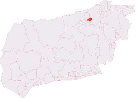
Administrative County: West Sussex

District: Horsham

Police Authority: Sussex

What 3 Words

///elbowing.catapult.navy. Near Horsham, West Sussex

Nearby Locations

High Wood

Related Wikis

Roffey Road Halt railway station

Roffey Road Halt is a now disused station on the Arun Valley Line in West Sussex, England and was the second station north from Horsham on the stretch...

North Horsham railway station

North Horsham is a proposed railway station in Horsham, West Sussex which would serve the North Horsham Business Park. The proposal was backed by West...

Roffey (electoral division)

Roffey is an electoral division of West Sussex in the United Kingdom and returns one member to sit on West Sussex County Council. == Extent == The division...

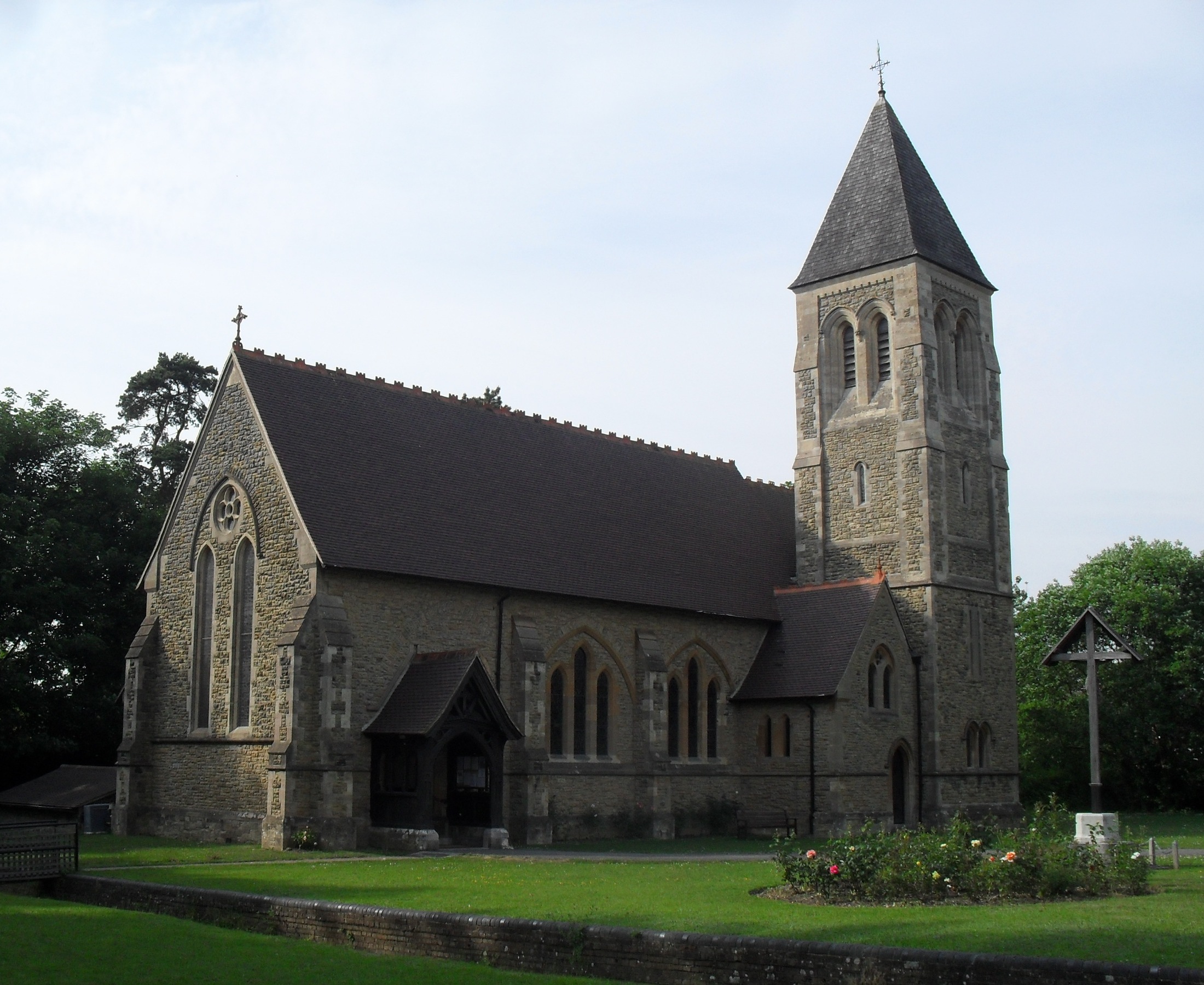
All Saints Church, Roffey

All Saints Church is the Anglican parish church of Roffey, in the Horsham district of the English county of West Sussex. The present church, built to...

Nearby Amenities

Located within 500m of 51.081407,-0.27556816
Forest Road
Naptan AtcoCode: 4400HR0573
Naptan Bearing: E
Naptan BusStopType: CUS
Naptan CommonName: Forest Road
Naptan Indicator: HAR
Naptan Landmark: Hail & Ride
Naptan NaptanCode: wsxdtmgp
Naptan Street: Forest Road
Naptan Verified: no
Source: naptan_import
Lat/Long: 51.0812507/-0.2702221
Access: private
Lat/Long: 51.0834916/-0.2710966
Woodside Farm
Place: farm
Lat/Long: 51.0788875/-0.273287
Roffey Park
Place: isolated_dwelling
Lat/Long: 51.0832888/-0.2706155
Turning Circle
Lat/Long: 51.0838384/-0.2696942
Access: private
Lat/Long: 51.0835098/-0.2710405
The data included in this document is from www.openstreetmap.org. The data is made available under ODbL.

Have you been to High Wood?

Leave your review of High Wood below (or comments, questions and feedback).