Leys Plantation
Wood, Forest in Yorkshire
England
Leys Plantation
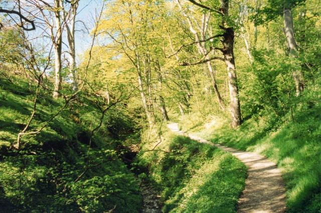
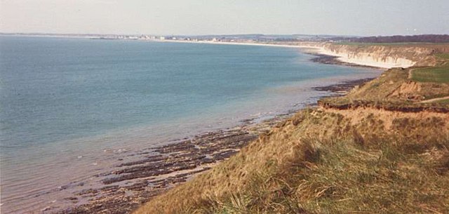
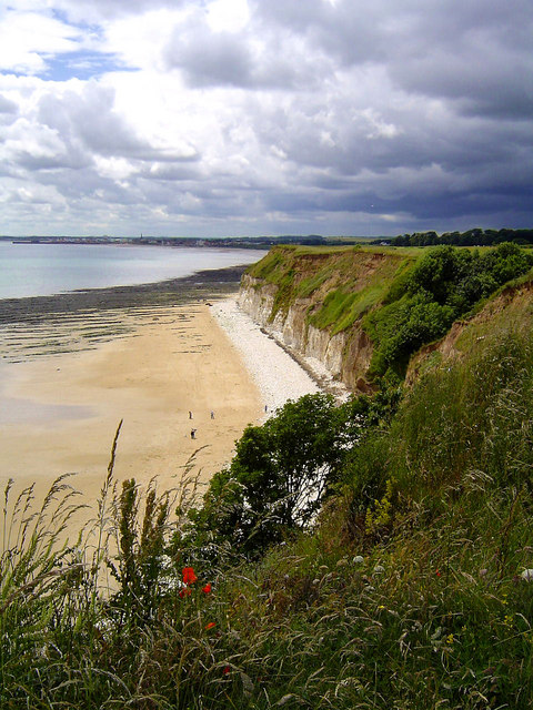
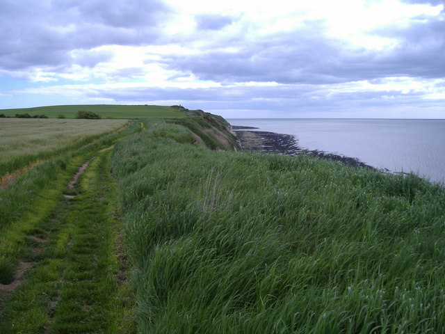
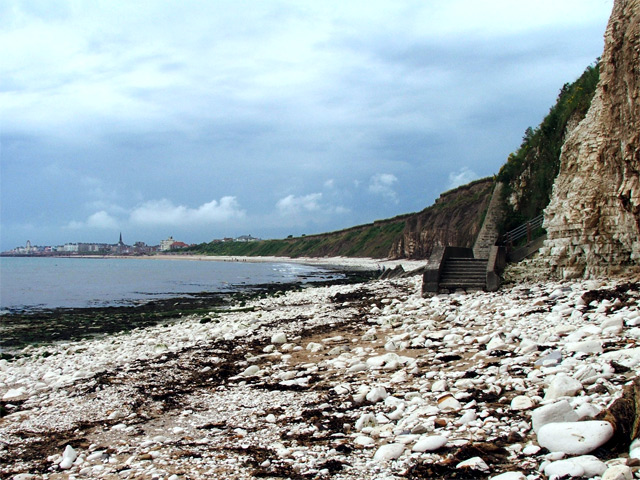
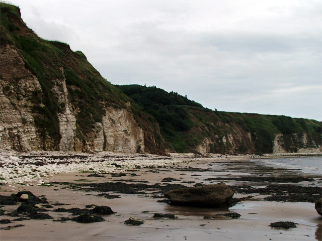
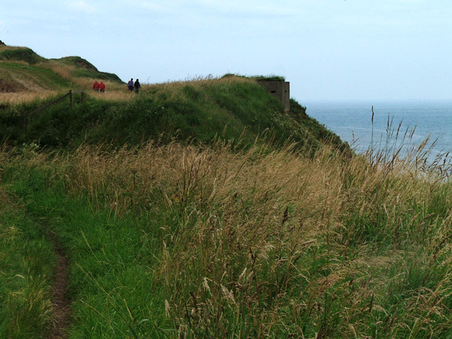
Leys Plantation is a picturesque woodland located in Yorkshire, England. Situated near the village of Wood, it covers a vast area of lush greenery and is renowned for its beautiful forest scenery. The plantation is a popular destination for nature enthusiasts and hikers, offering numerous trails and paths that wind through its dense foliage.
The woodland is predominantly composed of a variety of tree species, including oak, beech, and birch. These mature trees provide a rich habitat for a diverse range of wildlife, making Leys Plantation a haven for nature lovers. Visitors can expect to see various bird species, such as woodpeckers and owls, as well as small mammals like squirrels and deer.
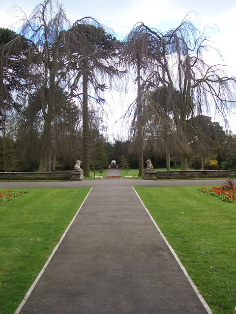
The plantation is well-maintained, with clear signposts and well-marked trails, making it easily navigable for visitors of all ages and abilities. There are also picnic areas and benches scattered throughout the woodland, providing opportunities for relaxation and enjoying the tranquil surroundings.
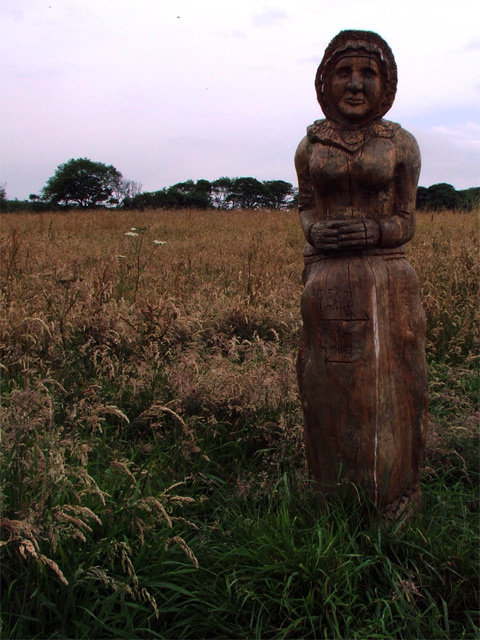
In addition to its natural beauty, Leys Plantation offers historical significance. It is believed to have been established many centuries ago, with remnants of ancient structures and archaeological sites scattered throughout. These remnants serve as a reminder of the area's rich history and provide a glimpse into the lives of previous inhabitants.
Overall, Leys Plantation in Yorkshire is a captivating destination for those seeking a peaceful and immersive experience in nature. With its enchanting forest, abundant wildlife, and historical significance, it offers a truly unique and memorable experience for visitors.
If you have any feedback on the listing, please let us know in the comments section below.
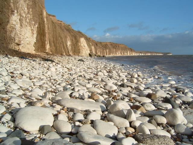
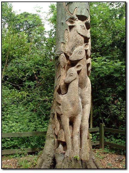
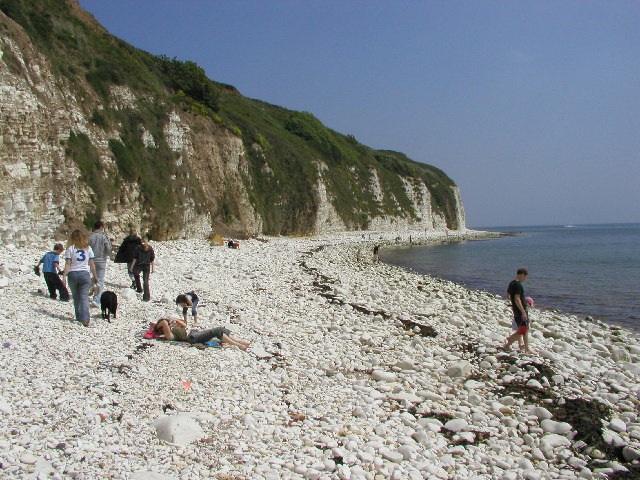
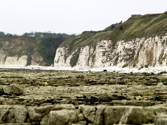
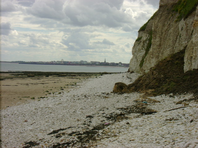
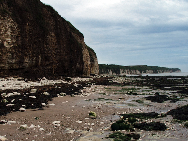
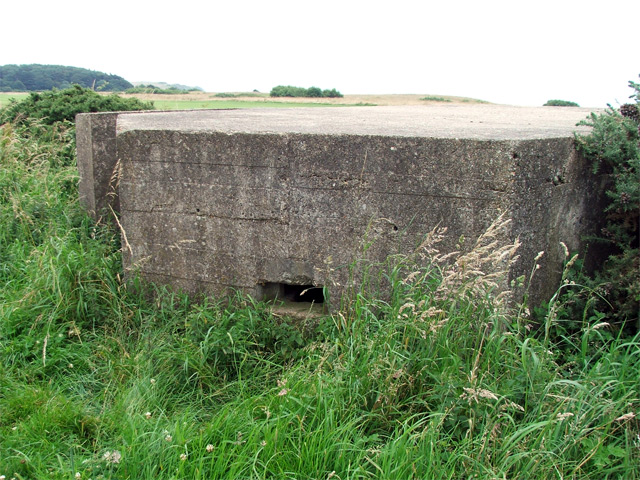
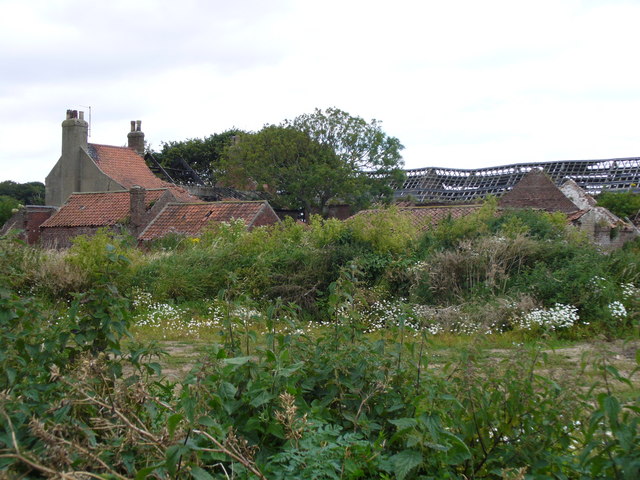
Leys Plantation Images
Images are sourced within 2km of 54.108924/-0.16148226 or Grid Reference TA2069. Thanks to Geograph Open Source API. All images are credited.
Leys Plantation is located at Grid Ref: TA2069 (Lat: 54.108924, Lng: -0.16148226)
Division: East Riding
Unitary Authority: East Riding of Yorkshire
Police Authority: Humberside
What 3 Words
///foil.saying.imply. Near Flamborough, East Yorkshire
Nearby Locations
Related Wikis

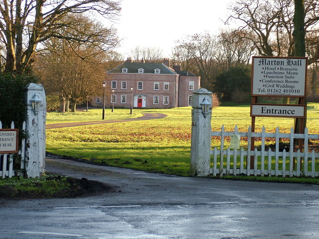
Sewerby Hall
Sewerby Hall (also known as Sewerby House) is a Grade I listed Georgian country house set in 50 acres (20 ha) of landscaped gardens in the village of Sewerby...

Flamborough railway station
Flamborough railway station was located in the village of Marton, and was originally named after that location. However, there were several other railway...

Sewerby
Sewerby is a village in the East Riding of Yorkshire, England approximately 1 mile (1.6 km) north-east of Bridlington on the North Sea coast. The village...

Headlands School
Headlands School is a coeducational comprehensive school situated on Sewerby Road near the B1255, Bridlington, East Riding of Yorkshire, England. The school...
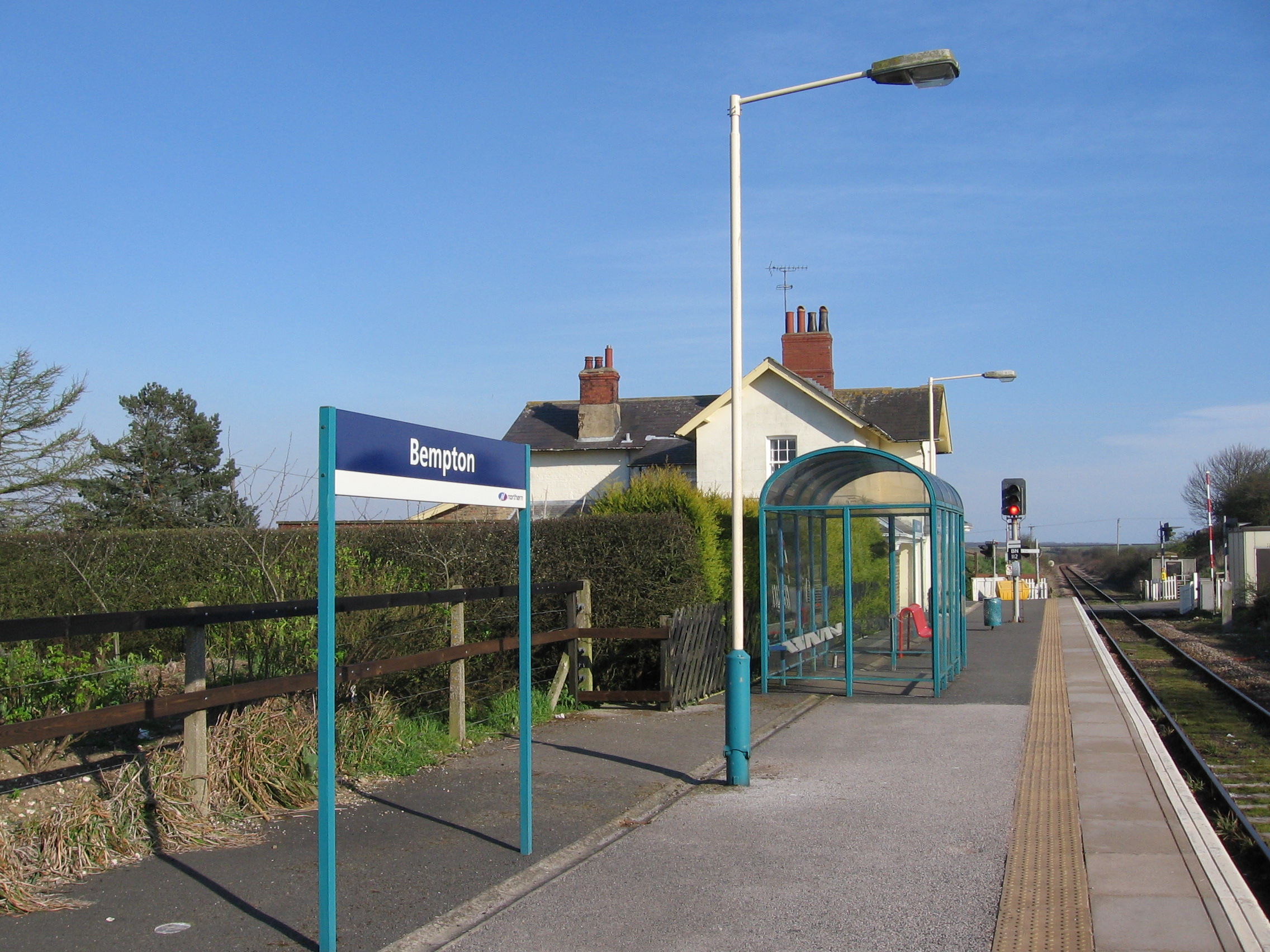
Bempton railway station
Bempton railway station serves the village of Bempton in the East Riding of Yorkshire, England. It is located on the Yorkshire Coast Line and is operated...

Flamborough
Flamborough is a village and civil parish in the East Riding of Yorkshire, England. It is situated approximately 4 miles (6 km) north-east of Bridlington...

Bempton
Bempton is a village and civil parish in the East Riding of Yorkshire, England, near the border with North Yorkshire. It is near the North Sea coast and...

Flamborough Lifeboat Station
Flamborough Lifeboat Station is a Royal National Lifeboat Institution (RNLI) lifeboat station located at Flamborough in the East Riding of Yorkshire, England...
Nearby Amenities
Located within 500m of 54.108924,-0.16148226Have you been to Leys Plantation?
Leave your review of Leys Plantation below (or comments, questions and feedback).