Marton

Settlement in Yorkshire

England

Marton

Chalk Pebble beach at Sewerby, Near Bridlington. Looking North East towards Flamborough Head
Chalk Pebble beach at Sewerby, Near Bridlington. Credit: Paul Allison

Marton is a charming village located in the district of Ryedale, North Yorkshire, England. Situated approximately 9 miles northwest of the market town of Malton, Marton is nestled amidst picturesque rolling countryside, offering a tranquil and idyllic setting.

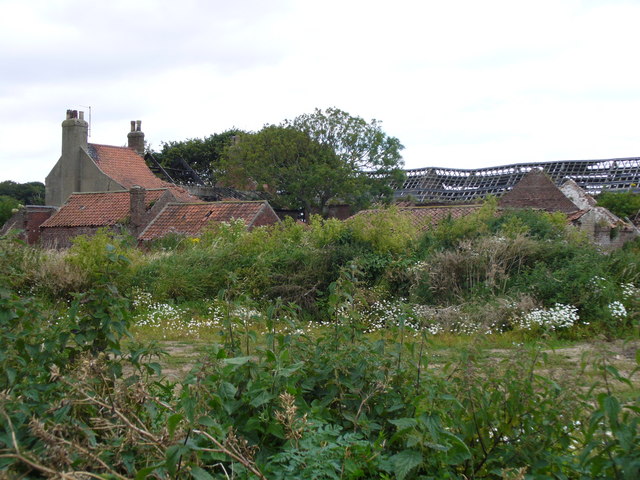
With a population of around 500 residents, Marton exudes a strong community spirit and a sense of rural heritage. The village boasts an assortment of well-preserved historic buildings, including traditional stone cottages and a beautiful medieval church, St. Mary's, which dates back to the 12th century.

Despite its small size, Marton has a few amenities to cater to the needs of its residents. It is home to a primary school, providing education for local children, and a cozy village pub that serves as a popular meeting place for locals and visitors alike. The village also has a village hall, which hosts various community events and social gatherings throughout the year.

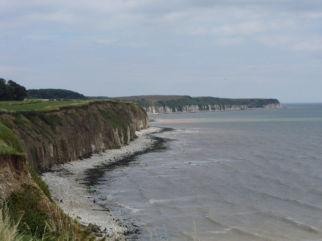
Marton's surrounding countryside offers ample opportunities for outdoor activities, such as walking, cycling, and horse riding. The village is located near the edge of the stunning North York Moors National Park, allowing residents to easily access its breathtaking landscapes and enjoy the tranquility of nature.

Overall, Marton presents itself as a peaceful and close-knit community, offering a delightful slice of rural Yorkshire life to its residents and visitors seeking a break from the hustle and bustle of urban living.

If you have any feedback on the listing, please let us know in the comments section below.
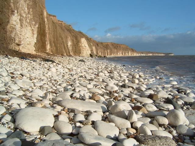
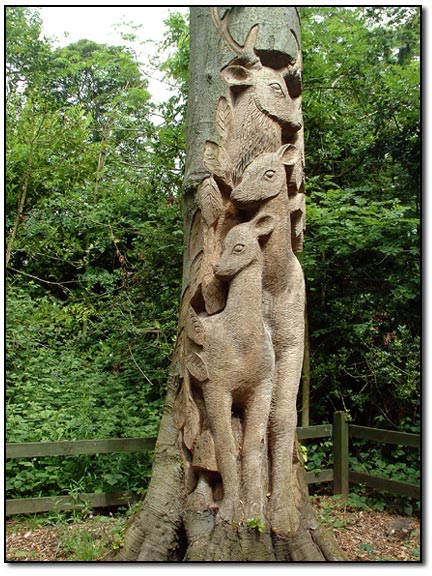
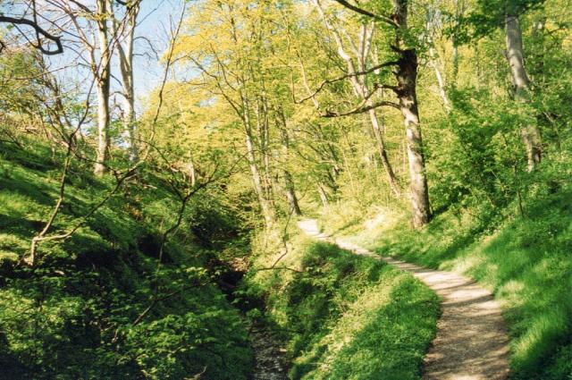
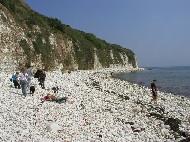
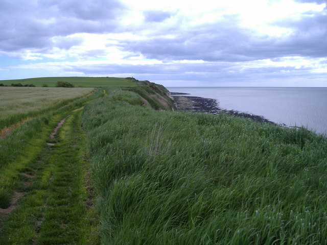
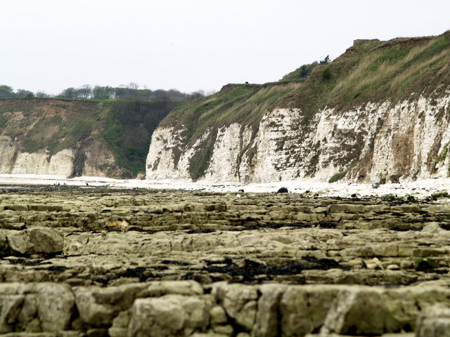
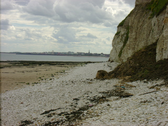
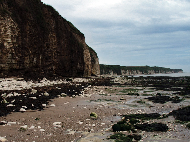
Marton Images

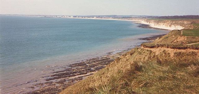
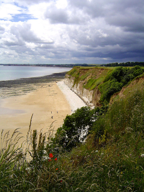
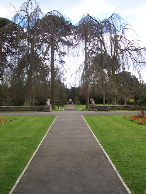
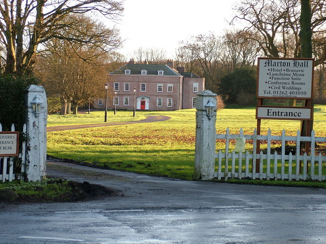
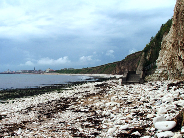
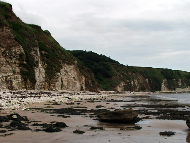
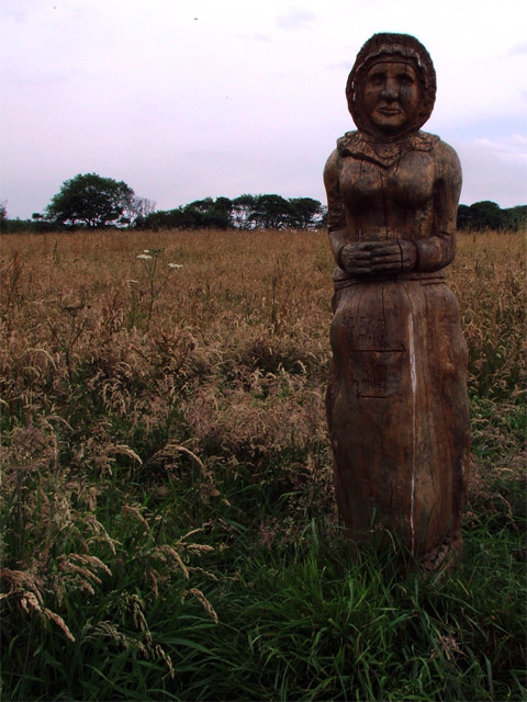
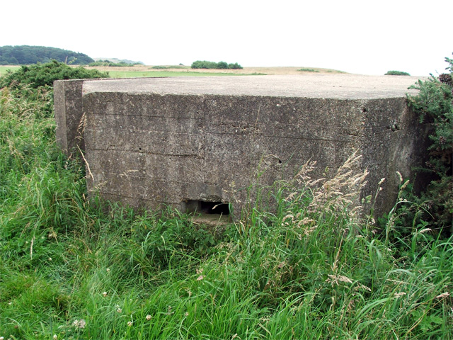
Images are sourced within 2km of 54.11/-0.16186301 or Grid Reference TA2069. Thanks to Geograph Open Source API. All images are credited.

Chalk Pebble beach at Sewerby, Near Bridlington. Looking North East towards Flamborough Head
Chalk Pebble beach at Sewerby, Near Bridlington.
Looking North East towards Flamborough Head
Carving - Sewerby Hall The gardeners at Sewerby Hall are kept busy with the huge garden.  Apart from the carvings there are amazing and weird trees and bushes and some beautiful formal gardens.
Carving - Sewerby Hall
The gardeners at Sewerby Hall are kept busy with the huge garden. Apart from the carvings there are amazing and weird trees and bushes and some beautiful formal gardens.
Danes Dyke Danes’ Dyke consists of prehistoric earthworks, possibly intended as a defence, and woodland that runs 2½ miles across Flamborough Head. Despite its name, Danes’ Dyke had nothing to do with the Danes, and was a much earlier site - probably dating back to the Bronze Age.
Danes Dyke
Danes’ Dyke consists of prehistoric earthworks, possibly intended as a defence, and woodland that runs 2½ miles across Flamborough Head. Despite its name, Danes’ Dyke had nothing to do with the Danes, and was a much earlier site - probably dating back to the Bronze Age.
Where Dane's Dyke meets the North Sea
View towards Bridlington from Southern end of Danes Dyke
Beacon Hill Views The South Landing and cliffs at Flamborough Head from just beyond Beacon Hill. Looking out across Danes Dyke End, you can just make out Bridlington in the distance.
Beacon Hill Views
The South Landing and cliffs at Flamborough Head from just beyond Beacon Hill. Looking out across Danes Dyke End, you can just make out Bridlington in the distance.
Sewerby Hall Gardens
Marton Hall This photo is actually taken from just outside the gridsquare TA2069, in which the hall is situated.
Marton Hall
This photo is actually taken from just outside the gridsquare TA2069, in which the hall is situated.
Beacon Hill The view eastwards along the cliff top from the very edge of the gridsquare towards Beacon Hill.
Beacon Hill
The view eastwards along the cliff top from the very edge of the gridsquare towards Beacon Hill.
South Flamborough Beach Looking Towards Danes' Dyke.
South Flamborough Beach
Looking Towards Danes' Dyke.
Sewerby Rocks Bridlington in the background, taken from Danes Dyke Beach
Sewerby Rocks
Bridlington in the background, taken from Danes Dyke Beach
Cliff face, Sewerby An eastwards shot of the cliff face near Dykes End from Sewerby Rocks.
Cliff face, Sewerby
An eastwards shot of the cliff face near Dykes End from Sewerby Rocks.
Steps onto Sewerby Rocks Steps leading from the cliffside footpath down onto Sewerby Rocks. Bridlington's North Sands and the sea front can be seen in the distance.
Steps onto Sewerby Rocks
Steps leading from the cliffside footpath down onto Sewerby Rocks. Bridlington's North Sands and the sea front can be seen in the distance.
Dane's Dyke from the beach A wide view of Dane's Dyke taken from the beach (Dyke's End).
Dane's Dyke from the beach
A wide view of Dane's Dyke taken from the beach (Dyke's End).
Carving, Cliff Plantation A carving of a fisherman's wife, looking out to sea.
Carving, Cliff Plantation
A carving of a fisherman's wife, looking out to sea.
Pillbox on golf course A pillbox stationed a way off from the cliff edge on a golf course. A footpath passes by it but there appears to be no entry to the structure.
Pillbox on golf course
A pillbox stationed a way off from the cliff edge on a golf course. A footpath passes by it but there appears to be no entry to the structure.
The ruin of Dane's Dyke Farm
The cliffs at Sewerby
Show me another place!

Marton is located at Grid Ref: TA2069 (Lat: 54.11, Lng: -0.16186301)

Division: East Riding

Unitary Authority: East Riding of Yorkshire

Police Authority: Humberside

What 3 Words

///liners.tadpole.penned. Near Flamborough, East Yorkshire

Related Wikis

Flamborough railway station

Flamborough railway station was located in the village of Marton, and was originally named after that location. However, there were several other railway...

Sewerby Hall

Sewerby Hall (also known as Sewerby House) is a Grade I listed Georgian country house set in 50 acres (20 ha) of landscaped gardens in the village of Sewerby...

Sewerby

Sewerby is a village in the East Riding of Yorkshire, England approximately 1 mile (1.6 km) north-east of Bridlington on the North Sea coast. The village...

Headlands School

Headlands School is a coeducational comprehensive school situated on Sewerby Road near the B1255, Bridlington, East Riding of Yorkshire, England. The school...

Nearby Amenities

Located within 500m of 54.11,-0.16186301
Marton
Is In: East Riding of Yorkshire, England, UK
Place: hamlet
Source: npe
Lat/Long: 54.1114475/-0.1627331
Post Box
Operator: Royal Mail
Operator Wikidata: Q638098
Post Box Type: lamp
Ref: YO15 13
Royal Cypher: EIIR
Royal Cypher Wikidata: Q33102113
Source: survey
Lat/Long: 54.1107573/-0.1679123
Marton Flamborough Road
Naptan AtcoCode: 2200YEA00595
Naptan Bearing: W
Naptan CommonName: Marton Flamborough Road
Naptan Landmark: Caravan Park
Naptan Street: Flamborough Road
Note: Paved area but no sign or post
Physically Present: no
Shelter: no
Source: naptan + survey
Lat/Long: 54.1099432/-0.1617261
Bus Stop
Marton Flamborough Road
Naptan AtcoCode: 2200YEA00596
Naptan Bearing: W
Naptan CommonName: Marton Flamborough Road
Naptan Landmark: Junction Jewison Lane
Naptan Street: Flamborough Road
Note: moved E
Shelter: no
Source: naptan + survey
Lat/Long: 54.1101677/-0.1647818
Bus Stop
Marton Flamborough Road
Naptan AtcoCode: 2200YEA01664
Naptan Bearing: E
Naptan CommonName: Marton Flamborough Road
Naptan Landmark: Outside Marton Manor
Naptan Street: B1255
Shelter: no
Source: naptan + survey
Lat/Long: 54.1103133/-0.1647695
Golf: pin
Lat/Long: 54.1068265/-0.1593963
Golf: tee
Lat/Long: 54.1070825/-0.1576105
Golf: tee
Lat/Long: 54.1071429/-0.1595843
Golf: tee
Lat/Long: 54.1080477/-0.1575274
Golf: pin
Lat/Long: 54.108294/-0.1577761
Golf: pin
Lat/Long: 54.1084373/-0.155778
Golf: pin
Lat/Long: 54.1091243/-0.1572875
Golf: tee
Lat/Long: 54.109214/-0.1565498
Golf: pin
Lat/Long: 54.1097463/-0.1569483
Golf: tee
Lat/Long: 54.1097794/-0.1574047
Golf: pin
Lat/Long: 54.1106048/-0.1576517
Golf: tee
Lat/Long: 54.1108512/-0.1572198
Golf: pin
Lat/Long: 54.1110064/-0.1552091
Golf: tee
Lat/Long: 54.1115521/-0.1556065
Bus Stop
Links Golf Club Entrance
Name En: Links Golf Club Entrance
Operator: EYMS & Busking
Lat/Long: 54.1117255/-0.156812
Bus Stop
Operator: EYMS
Lat/Long: 54.1084716/-0.1672434
Bus Stop
Martongate
Name En: Martongate
Operator: Busking
Lat/Long: 54.1085921/-0.1681001
Barrier: lift_gate
Lat/Long: 54.113532/-0.1586493
Cafe
Marton Manor Tea Room
Lat/Long: 54.1108919/-0.1641092
Waste Basket
Lat/Long: 54.1108442/-0.1681052
The data included in this document is from www.openstreetmap.org. The data is made available under ODbL.

Have you been to Marton?

Leave your review of Marton below (or comments, questions and feedback).