Pigeoncote Plantation
Wood, Forest in Yorkshire
England
Pigeoncote Plantation
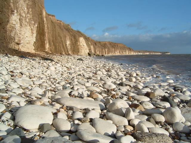
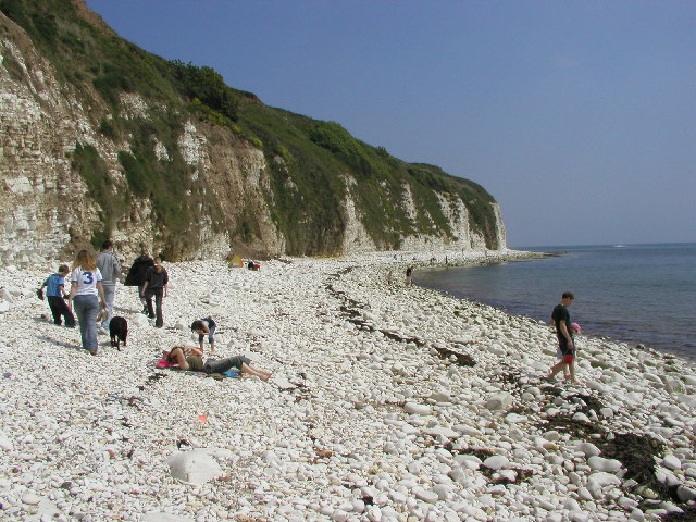
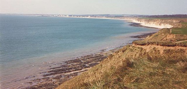
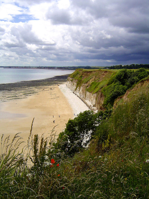
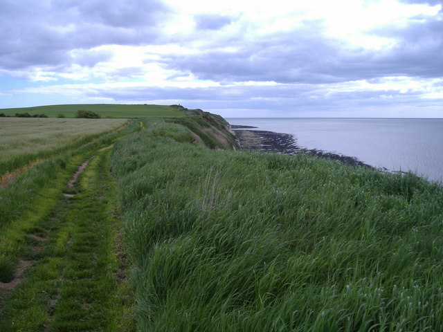
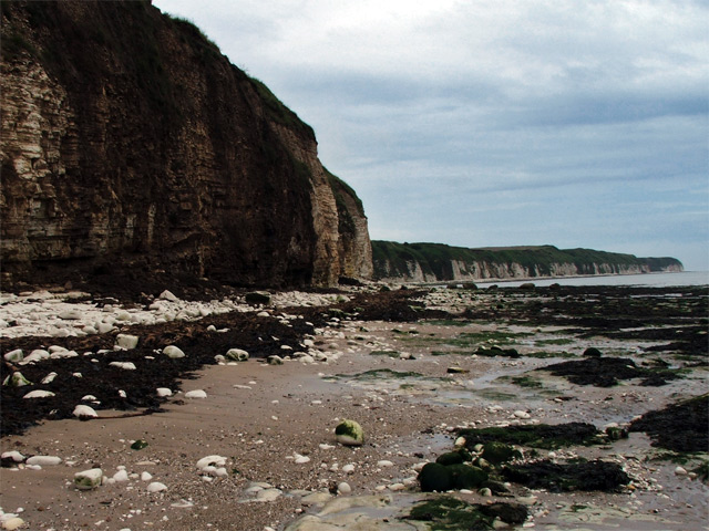
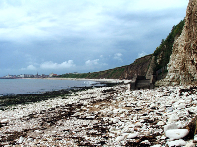
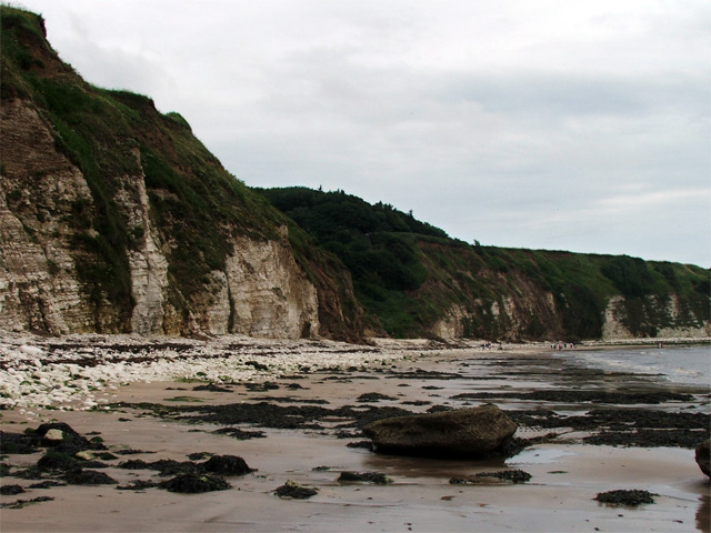
Pigeoncote Plantation is a picturesque woodland located in the county of Yorkshire, England. Situated within the broader region of Yorkshire Dales National Park, the plantation is known for its diverse range of tree species, making it a haven for nature enthusiasts and walkers alike.
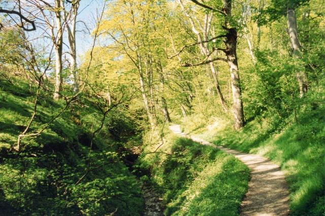
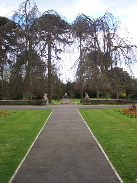
Covering an area of approximately 50 acres, Pigeoncote Plantation is characterized by its dense woodland, consisting primarily of native trees such as oak, ash, beech, and birch. The plantation is renowned for its well-maintained pathways, allowing visitors to explore the area and appreciate the natural beauty that surrounds them.
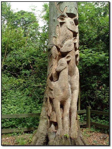
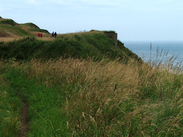
Within the woodland, visitors will also find an abundance of wildlife, including a variety of bird species, squirrels, and deer. Birdwatchers will particularly enjoy the plantation, as it serves as a popular nesting site for numerous bird species, including woodpeckers and tawny owls.
Pigeoncote Plantation offers a tranquil escape from the bustling city life, providing visitors with the opportunity to immerse themselves in nature. The plantation is a popular destination for hikers and walkers, with a network of trails that cater to different levels of fitness and ability.
In addition to its natural beauty, Pigeoncote Plantation also holds historical significance. The area was once home to a pigeoncote, a structure used to house and breed pigeons for their meat and feathers. Although the pigeoncote itself no longer remains, its legacy is preserved in the plantation's name.
Overall, Pigeoncote Plantation is a hidden gem in Yorkshire, offering a peaceful retreat for those seeking to reconnect with nature and explore the region's rich biodiversity.
If you have any feedback on the listing, please let us know in the comments section below.
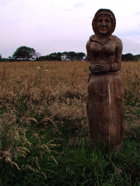
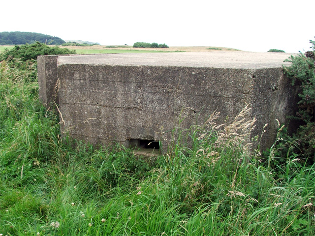
Pigeoncote Plantation Images
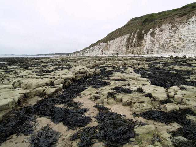
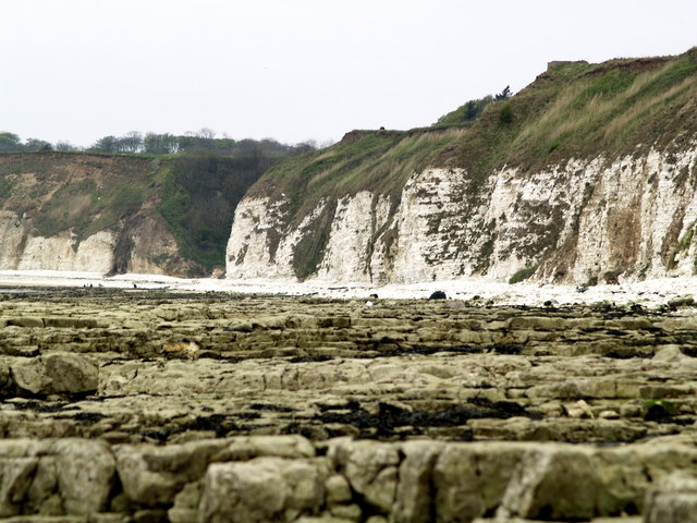
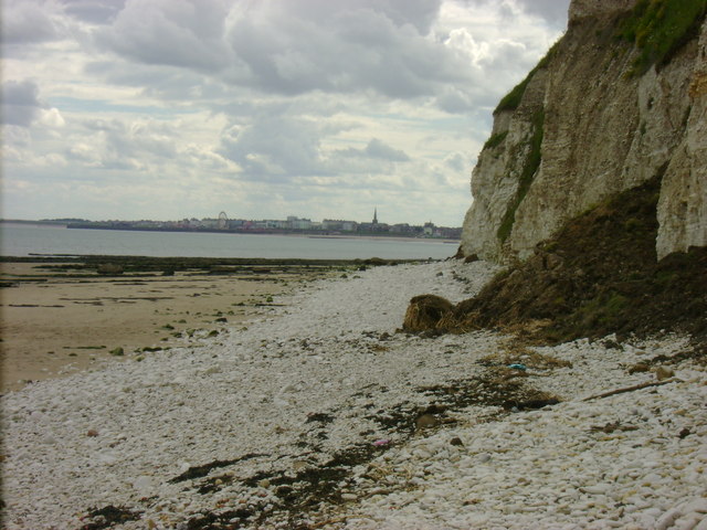
Images are sourced within 2km of 54.103724/-0.1564812 or Grid Reference TA2069. Thanks to Geograph Open Source API. All images are credited.
Pigeoncote Plantation is located at Grid Ref: TA2069 (Lat: 54.103724, Lng: -0.1564812)
Division: East Riding
Unitary Authority: East Riding of Yorkshire
Police Authority: Humberside
What 3 Words
///reserving.waddled.unique. Near Flamborough, East Yorkshire
Nearby Locations
Related Wikis

Sewerby Hall
Sewerby Hall (also known as Sewerby House) is a Grade I listed Georgian country house set in 50 acres (20 ha) of landscaped gardens in the village of Sewerby...

Sewerby
Sewerby is a village in the East Riding of Yorkshire, England approximately 1 mile (1.6 km) north-east of Bridlington on the North Sea coast. The village...

Flamborough railway station
Flamborough railway station was located in the village of Marton, and was originally named after that location. However, there were several other railway...

Headlands School
Headlands School is a coeducational comprehensive school situated on Sewerby Road near the B1255, Bridlington, East Riding of Yorkshire, England. The school...

Flamborough
Flamborough is a village and civil parish in the East Riding of Yorkshire, England. It is situated approximately 4 miles (6 km) north-east of Bridlington...

Flamborough Lifeboat Station
Flamborough Lifeboat Station is a Royal National Lifeboat Institution (RNLI) lifeboat station located at Flamborough in the East Riding of Yorkshire, England...

Our Lady and St Peter's Church, Bridlington
Our Lady and St Peter's Church is a Roman Catholic parish church in Bridlington, East Riding of Yorkshire, England. It was built from 1893 to 1894 in the...
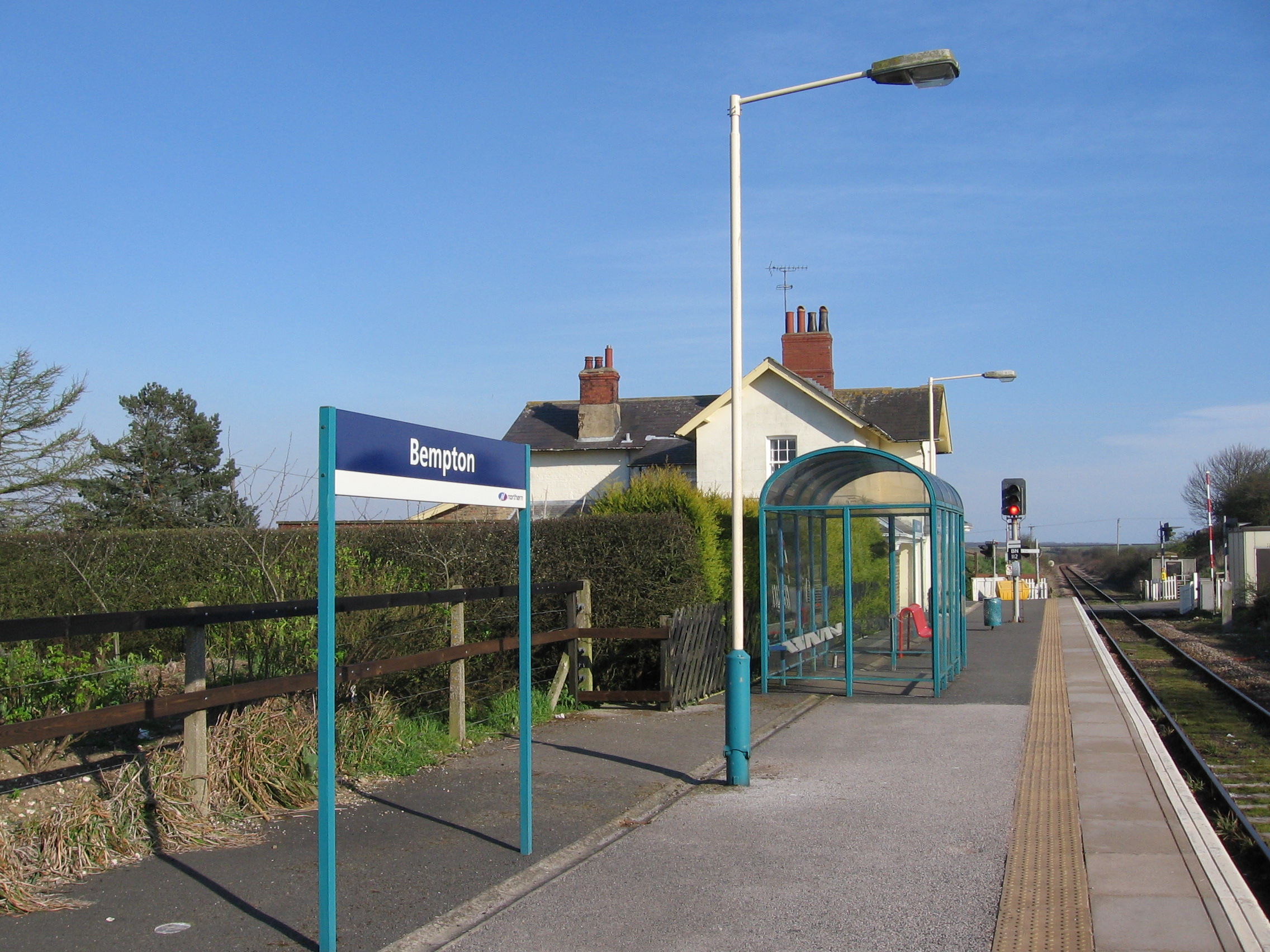
Bempton railway station
Bempton railway station serves the village of Bempton in the East Riding of Yorkshire, England. It is located on the Yorkshire Coast Line and is operated...
Nearby Amenities
Located within 500m of 54.103724,-0.1564812Have you been to Pigeoncote Plantation?
Leave your review of Pigeoncote Plantation below (or comments, questions and feedback).