Long Wood
Wood, Forest in Yorkshire
England
Long Wood
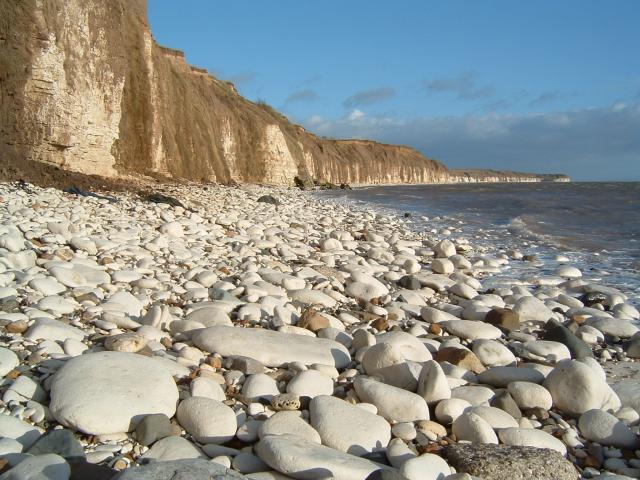
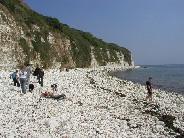
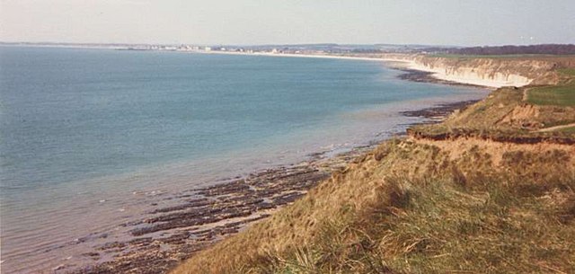
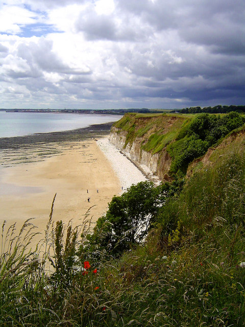
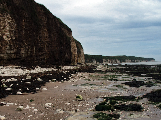
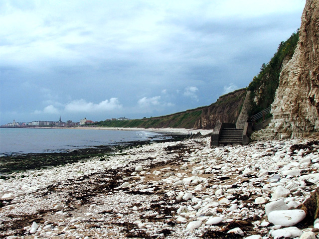
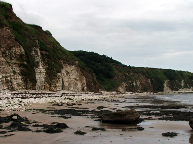
Long Wood is a picturesque forest located in the county of Yorkshire in the United Kingdom. Covering an area of approximately 500 acres, it is a significant natural attraction within the region. The forest is characterized by its dense woodland, tall trees, and vibrant flora, creating a serene and tranquil environment for visitors.
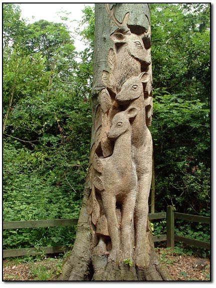
Long Wood is home to a diverse range of plant and animal species, including oak, beech, and birch trees, as well as various types of ferns and mosses. The forest serves as a habitat for a variety of wildlife, such as deer, rabbits, and a multitude of bird species, making it a popular spot for nature enthusiasts and birdwatchers.
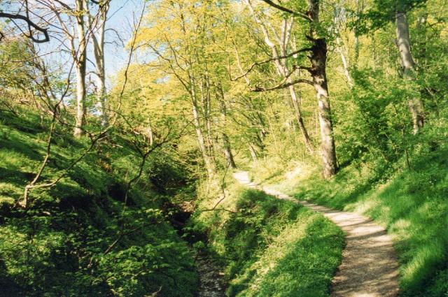
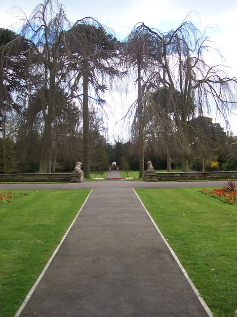
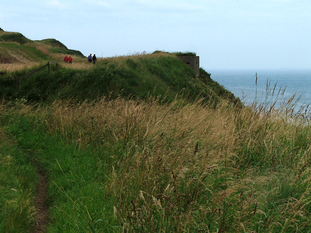
The forest offers several well-maintained walking trails that allow visitors to explore its natural beauty at their own pace. These trails take visitors through different sections of the wood, each with its own unique charm and scenic views. The paths wind through the towering trees, creating a sense of immersion in nature.
Long Wood also provides picnic areas and designated camping spots, making it an ideal destination for families and outdoor enthusiasts. Additionally, the forest offers educational programs and guided tours, allowing visitors to learn about the local ecosystem and its conservation efforts.
Overall, Long Wood in Yorkshire offers a tranquil and immersive experience in the heart of nature. With its diverse flora and fauna, scenic trails, and educational opportunities, it is a must-visit destination for those seeking a peaceful retreat in the beautiful Yorkshire countryside.
If you have any feedback on the listing, please let us know in the comments section below.
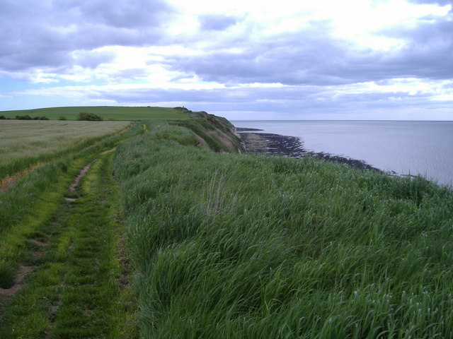
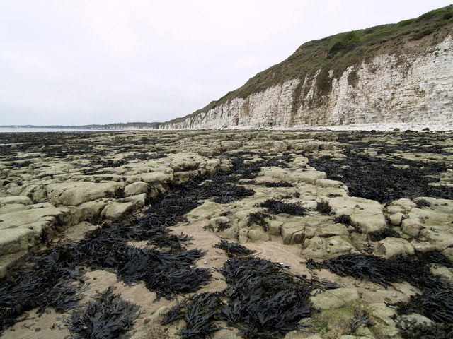
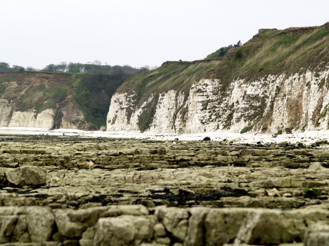
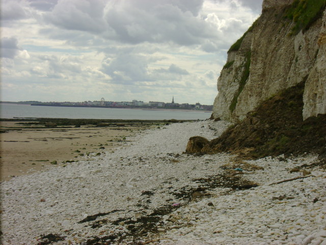
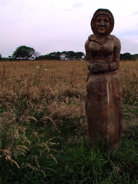
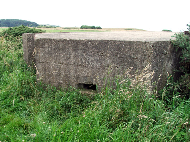
Long Wood Images
Images are sourced within 2km of 54.108652/-0.1542433 or Grid Reference TA2069. Thanks to Geograph Open Source API. All images are credited.
Long Wood is located at Grid Ref: TA2069 (Lat: 54.108652, Lng: -0.1542433)
Division: East Riding
Unitary Authority: East Riding of Yorkshire
Police Authority: Humberside
What 3 Words
///struts.scariest.routine. Near Flamborough, East Yorkshire
Nearby Locations
Related Wikis

Sewerby Hall
Sewerby Hall (also known as Sewerby House) is a Grade I listed Georgian country house set in 50 acres (20 ha) of landscaped gardens in the village of Sewerby...

Sewerby
Sewerby is a village in the East Riding of Yorkshire, England approximately 1 mile (1.6 km) north-east of Bridlington on the North Sea coast. The village...

Flamborough railway station
Flamborough railway station was located in the village of Marton, and was originally named after that location. However, there were several other railway...

Flamborough
Flamborough is a village and civil parish in the East Riding of Yorkshire, England. It is situated approximately 4 miles (6 km) north-east of Bridlington...

Headlands School
Headlands School is a coeducational comprehensive school situated on Sewerby Road near the B1255, Bridlington, East Riding of Yorkshire, England. The school...

Flamborough Lifeboat Station
Flamborough Lifeboat Station is a Royal National Lifeboat Institution (RNLI) lifeboat station located at Flamborough in the East Riding of Yorkshire, England...
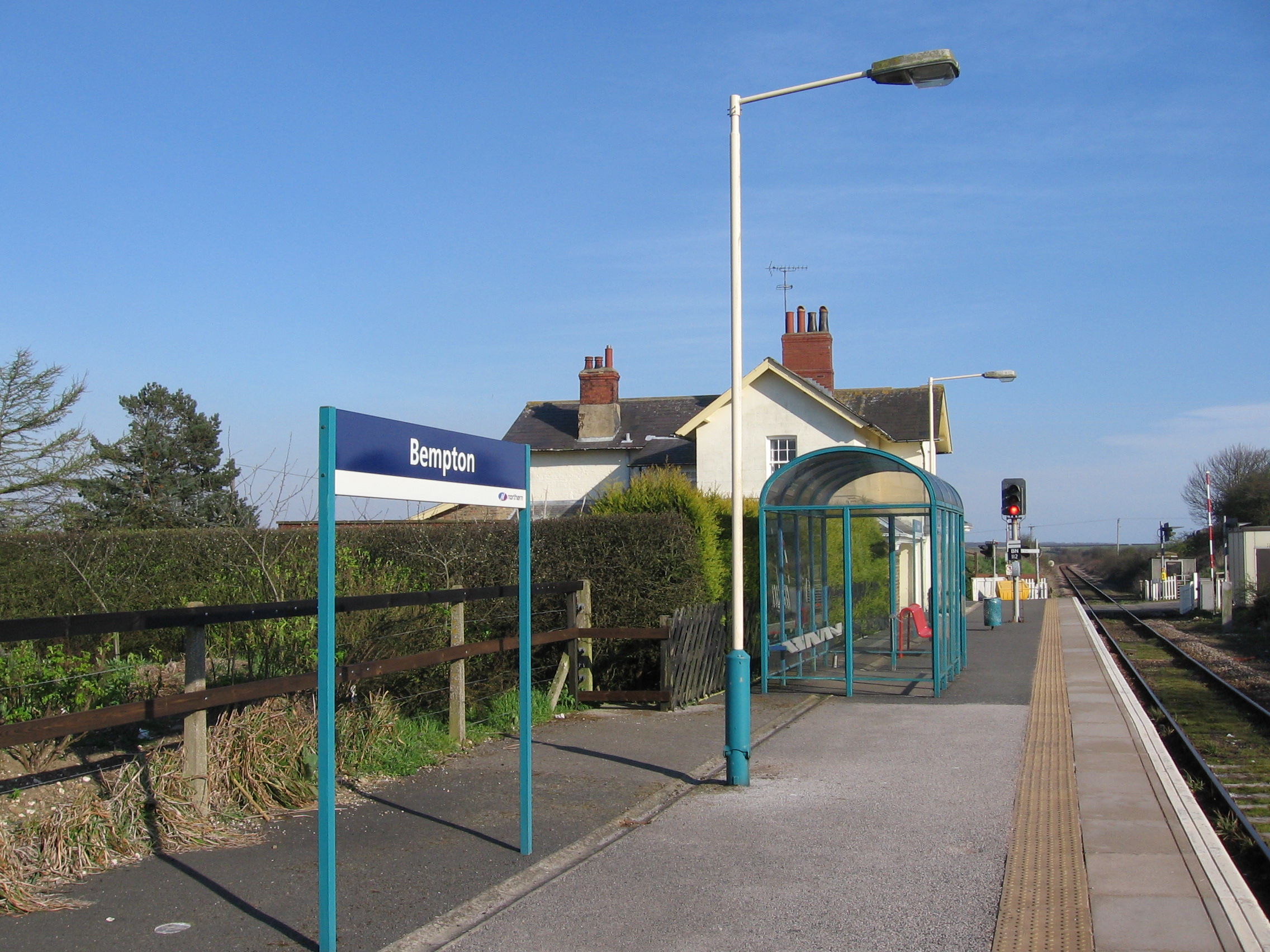
Bempton railway station
Bempton railway station serves the village of Bempton in the East Riding of Yorkshire, England. It is located on the Yorkshire Coast Line and is operated...

Bempton
Bempton is a village and civil parish in the East Riding of Yorkshire, England, near the border with North Yorkshire. It is near the North Sea coast and...
Nearby Amenities
Located within 500m of 54.108652,-0.1542433Have you been to Long Wood?
Leave your review of Long Wood below (or comments, questions and feedback).